
All-In-One Offline Maps - Map access & downloads
Navigate the world offline with detailed maps and travel guides.

- 3.17b Version
- 4.5 Score
- 5M+ Downloads
- In-app purchases License
- 3+ Content Rating


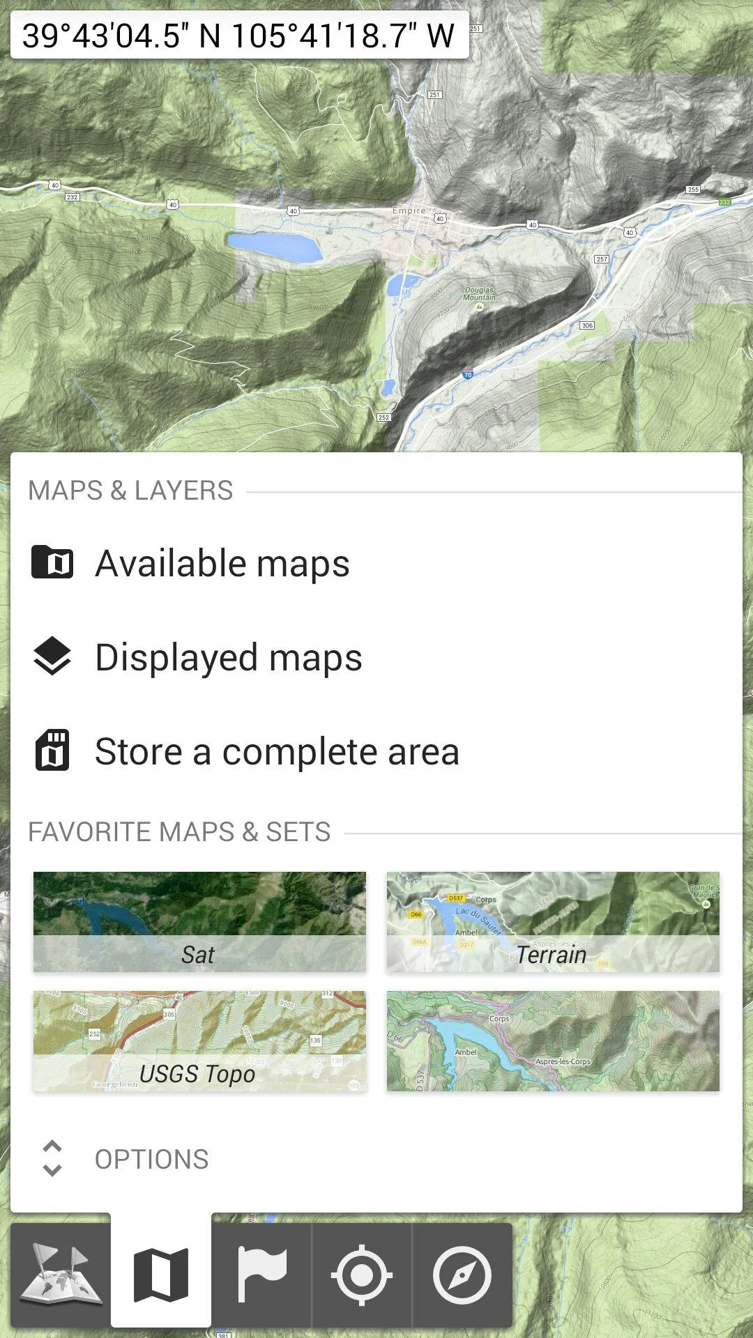

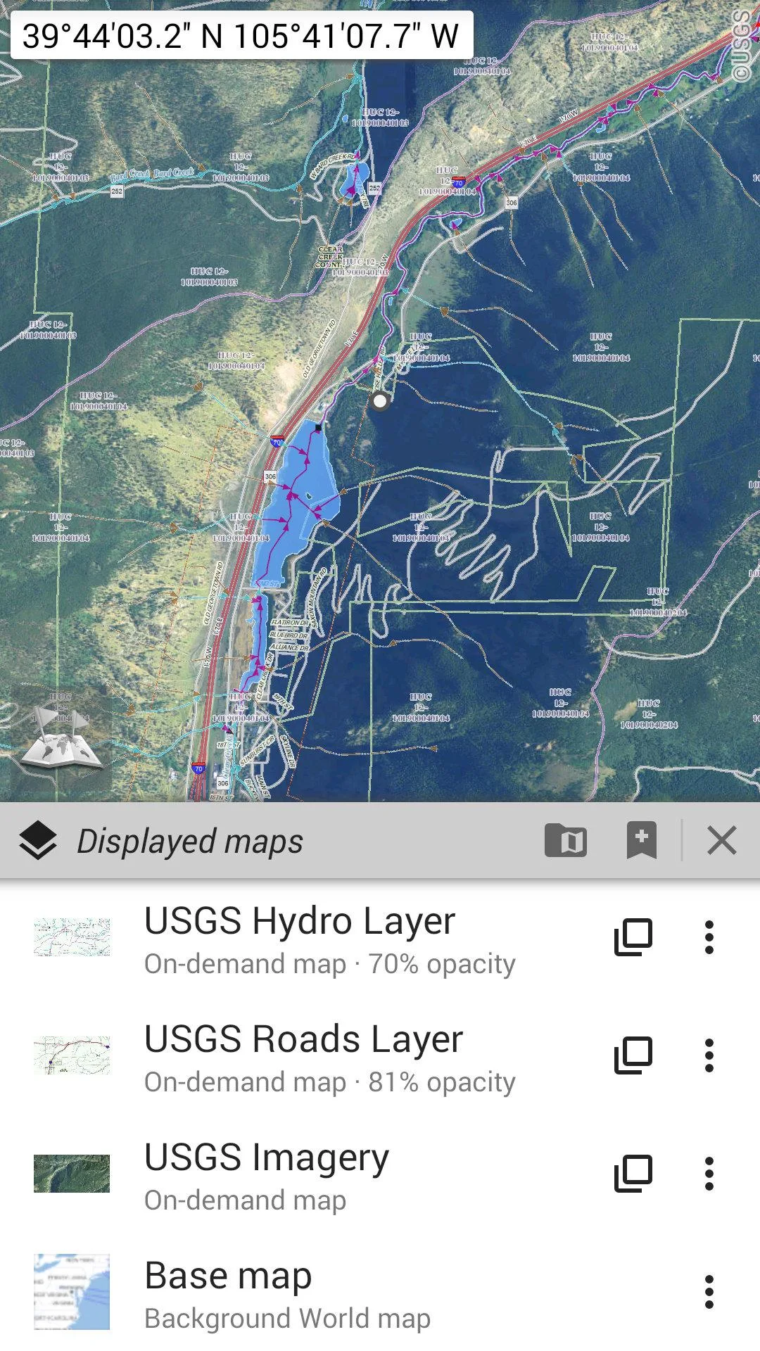
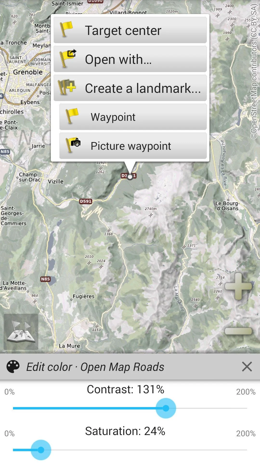

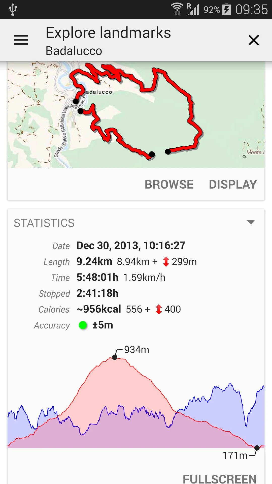

All-In-One OfflineMaps
App Overview
All-In-One OfflineMaps is an Android mapping app that lets users download geographical maps and access them without an internet connection. Maps are stored locally on the device, making the app suitable for hiking, travelling, and exploring areas with limited network coverage. Offline storage also reduces the need for mobile data when viewing previously downloaded maps.
The app supports multiple map sources, including OpenStreetMap, Google Maps, Bing Maps, and USGS Maps. Available map types include road maps, topographic maps, satellite imagery, and aerial photography. Users can combine different map layers and adjust their transparency to compare geographical details.
Beyond map viewing, All-In-One OfflineMaps includes GPS positioning, compass functions, and tools for creating waypoints, routes, areas, and tracks. It supports various coordinate formats and geographical grid systems, as well as map printing with distance scales for users who prefer paper maps during outdoor activities.
Key Features
1. Offline Map Downloads
• Download maps from OpenStreetMap, Google Maps, Bing Maps, and USGS Maps
• Choose from available road, topographic, satellite, and aerial map types
• Select geographical areas and save their map data locally
• Access downloaded maps without an internet connection
2. Map Layers and Orientation
• Combine multiple maps and information layers in one view
• Adjust individual layer transparency
• Switch between available map presentations
• Rotate maps manually or align them with the device's orientation
3. Waypoint and Route Management
• Create and manage waypoints, routes, areas, and tracks
• Mark locations directly on maps
• Assign icons to saved geographical markers
• Browse saved items through the SD-Card Placemarks Explorer
4. GPS and Compass
• Display the device's current GPS position
• Use device sensors for directional information
• Align map orientation with the direction of travel
• Control GPS operation to reduce unnecessary battery consumption
5. Coordinate Systems and Measurement
• Display coordinates in different GPS formats
• Choose metric, imperial, or hybrid distance units
• Use UTM, OSGB, Irish, Swiss, MGRS/WGS84, and USNG/NAD27 grid systems
• Display geographical coordinate grids on maps
6. Map Storage and Printing
• Manage locally stored map data
• Remove downloaded maps when they are no longer needed
• Print selected geographical areas in standard page sizes
• Include distance scales in printed maps
7. Map Display Controls
• Zoom using multi-touch gestures
• Switch to full-screen map viewing
• Adjust map rotation and display settings
• Explore geographical details at different zoom levels
How to Use All-In-One OfflineMaps
1. Choose a Map Source
Open the app and select a provider, such as OpenStreetMap, Google Maps, Bing Maps, or USGS Maps. Choose an available map type and navigate to your intended destination.
2. Download Maps for Offline Use
Select the geographical area you want to save and specify the required coverage and zoom levels. Larger areas and higher-resolution maps require more storage space.
3. Access Downloaded Maps
Once the download is complete, the map data is stored on your device. You can reopen it without an internet connection, including in areas with poor mobile coverage.
4. Create Waypoints and Routes
Use the map tools to mark locations, draw routes, define areas, or record tracks. Saved items can be assigned icons and organized through the placemark management features.
5. Adjust Map Settings
Customize layer transparency, map orientation, distance units, and coordinate formats. These settings allow you to change how geographical information is displayed.
6. Print Maps
Select the area you want to print and configure the page size and distance scale. The resulting paper map can serve as a reference during outdoor trips.
FAQs
1. Can All-In-One OfflineMaps work without an internet connection?
Yes. Downloaded map data is stored on your device and remains accessible offline. An internet connection is required only when obtaining map data that has not been saved locally.
2. Which map providers does the app support?
Available sources include OpenStreetMap, Google Maps, Bing Maps, and USGS Maps. Map styles and geographical coverage vary depending on the provider.
3. Can I download maps covering large areas?
Yes. You can select large geographical areas for offline storage. However, larger coverage areas and higher zoom levels require more device storage.
4. Does All-In-One OfflineMaps offer turn-by-turn navigation?
The app primarily focuses on offline map viewing and GPS-based geographical tools. It provides current-position tracking and route management, but is not primarily designed for conventional turn-by-turn car navigation.
5. Which coordinate systems are supported?
The app supports standard GPS coordinate formats, along with UTM, OSGB, Irish, Swiss, MGRS/WGS84, and USNG/NAD27 grid systems.
6. Can I print downloaded maps?
Yes. You can print selected map areas in standard page sizes and include distance scales for outdoor reference.
- Version3.17b
- UpdateNov 12, 2026
- DeveloperPsyberia
- CategoryMaps & Navigation
- Requires AndroidAndroid 2.1+
- Downloads5M+
- Package Namenet.psyberia.offlinemaps
- Signature8d972e93e80f4652b0eb596f059b0940
- Available on
- ReportFlag as inappropriate
-
NameSizeDownload
-
7.88 MB
-
7.88 MB
-
7.86 MB
















Very good app with qualities
best offline using map
fantastic for hiking, cycling and more
Font size of all map locations keeps too small
Backup and restore settings is needed
Open with Google Map can't load the current map location automatically
Way too complicated
Limited zoom only