
Bustime - Transit tracking & alerts
Stay on schedule with live transit updates, personalized features & community feedback across 400+ cities for effortless travel.

- 222 Version
- 2.9 Score
- 3M+ Downloads
- Free License
- 3+ Content Rating


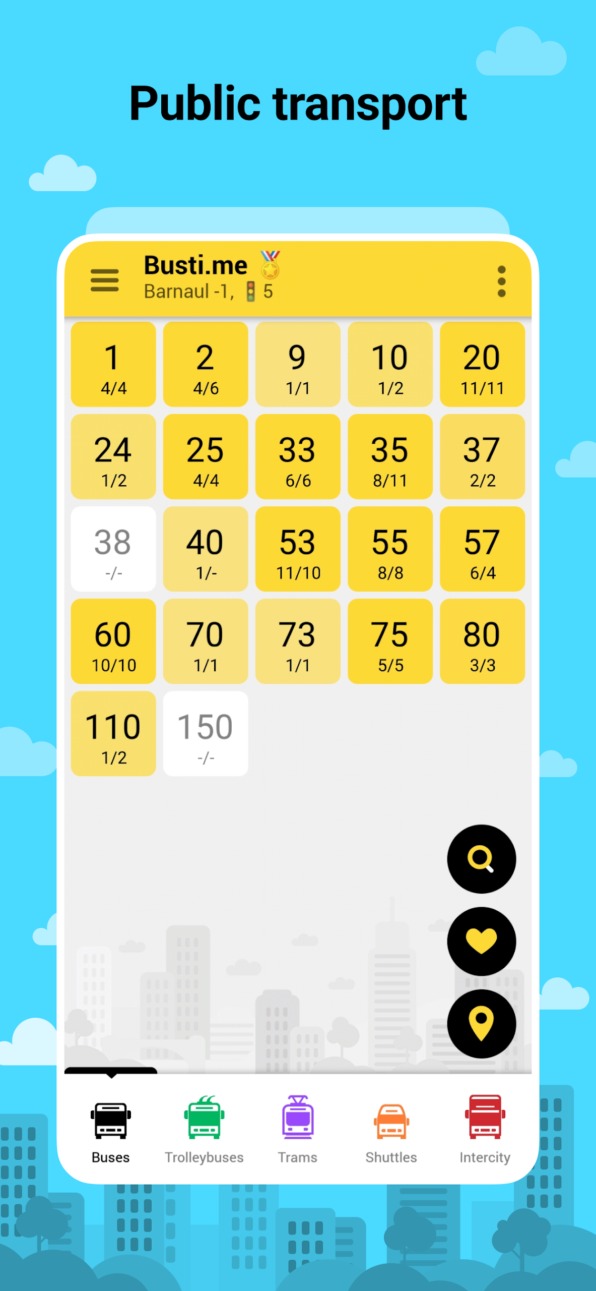
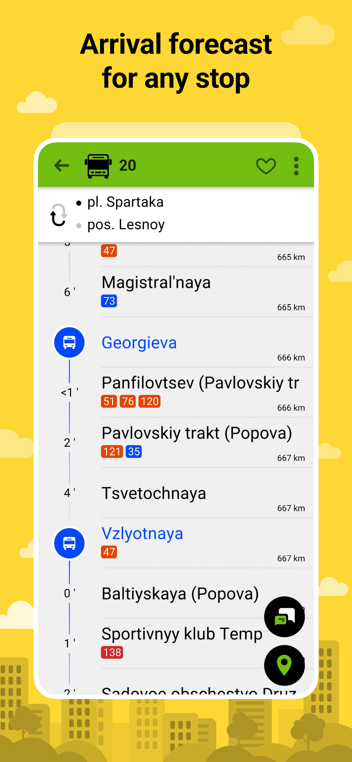
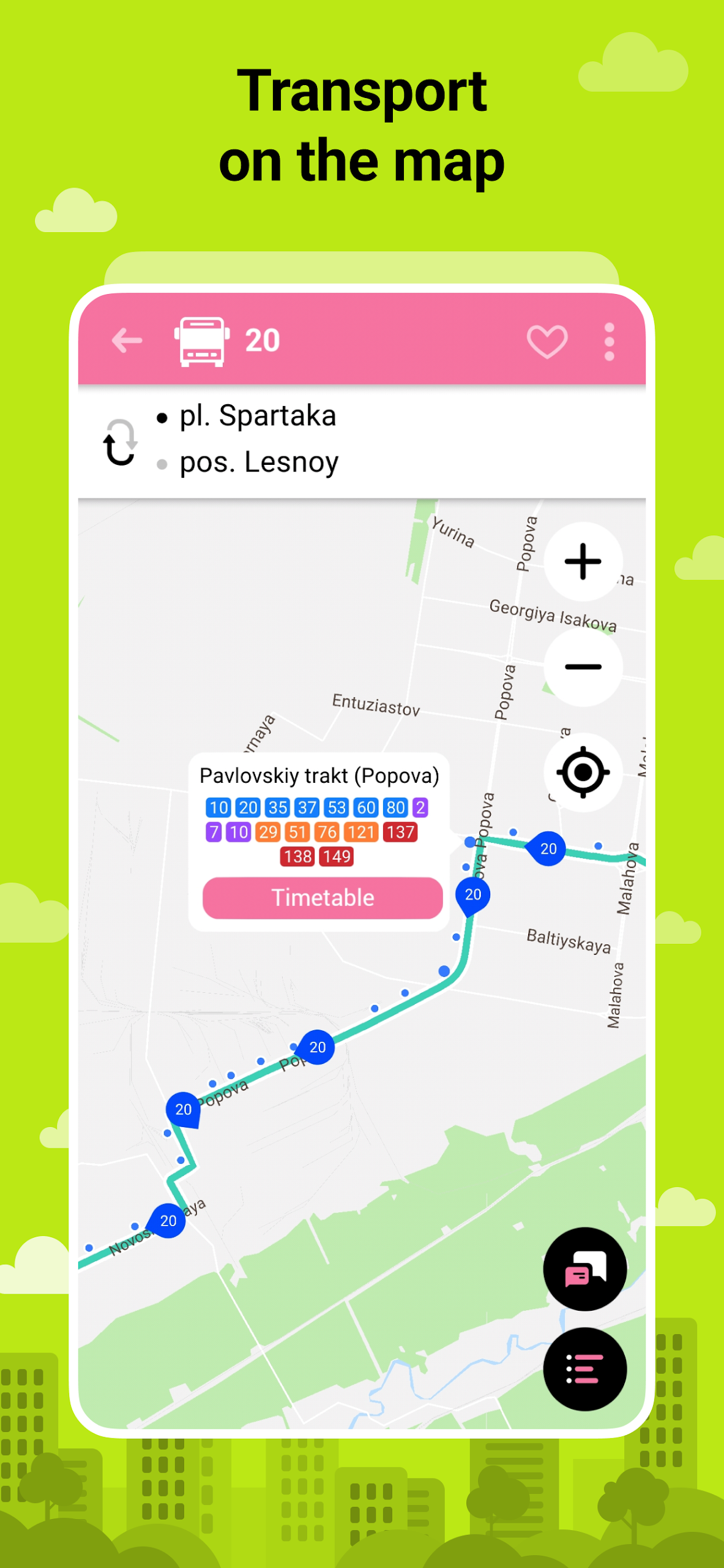
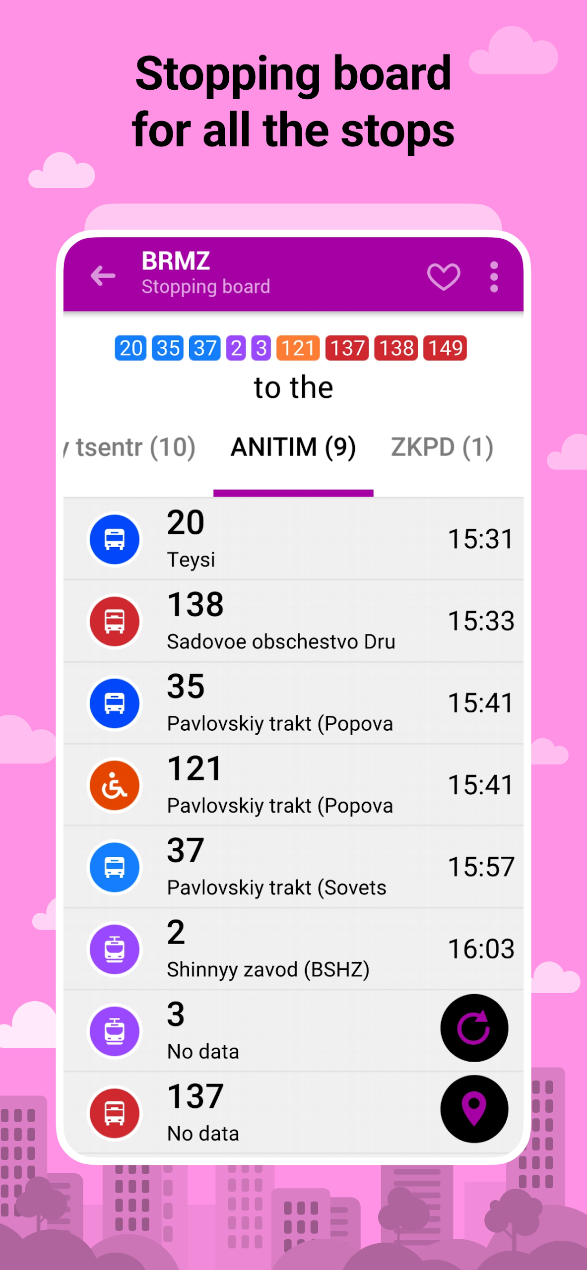
App Overview
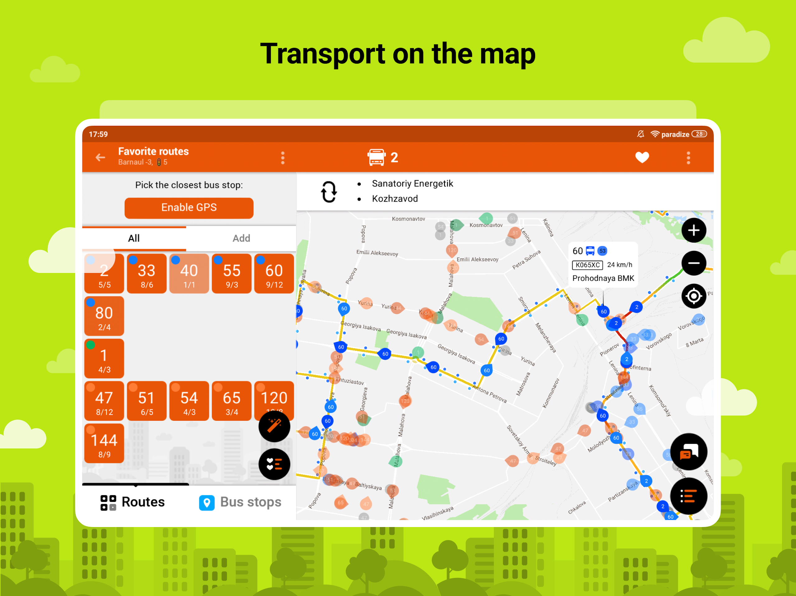
Busti.me is a public transportation tracking app that provides vehicle locations and journey information across more than 400 cities. Connected to the Busti.me platform, it uses GPS and GLONASS data from onboard tracking devices to display the real-time positions of buses, trolleybuses, trams, and shuttles in supported locations.
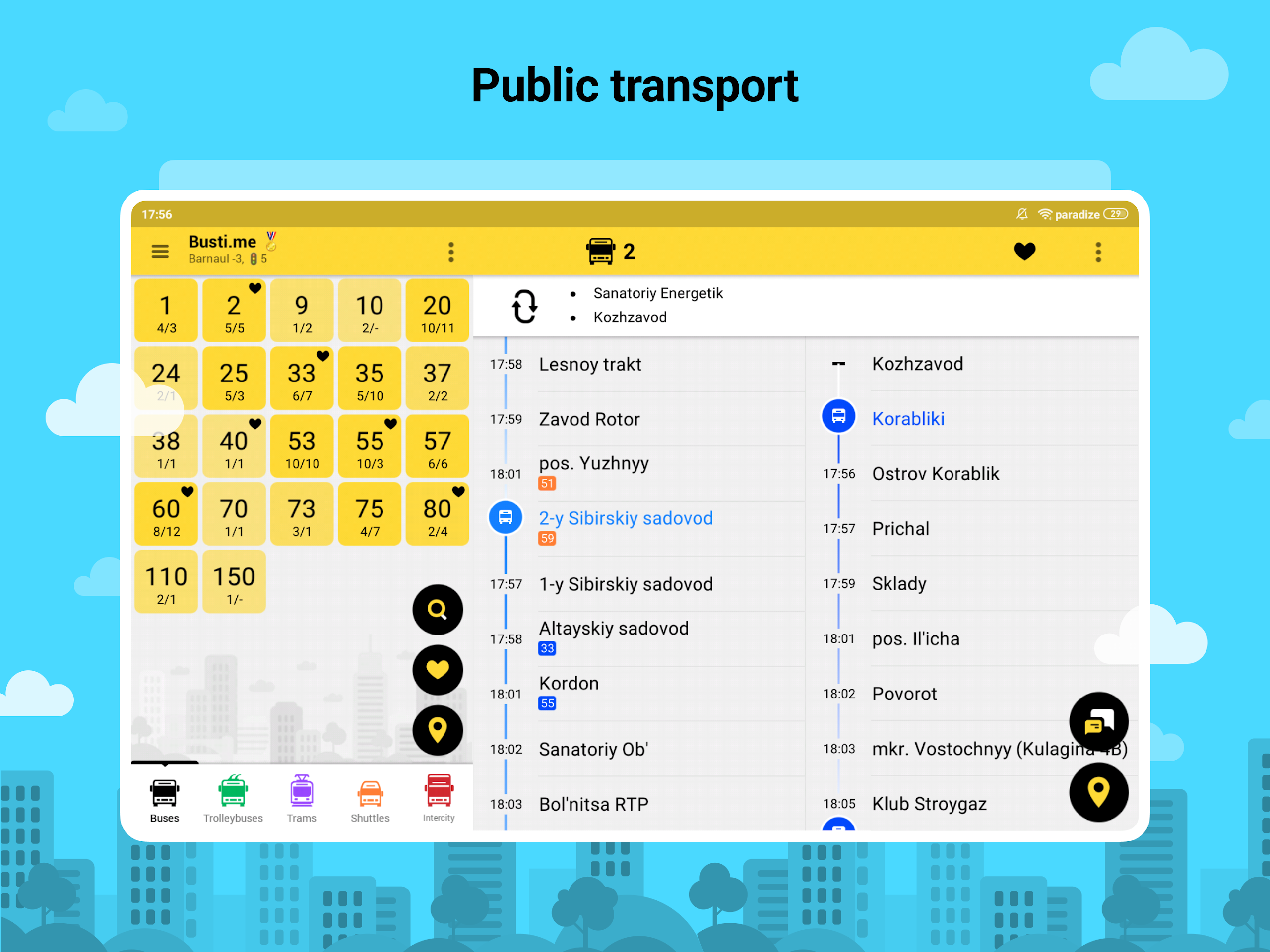
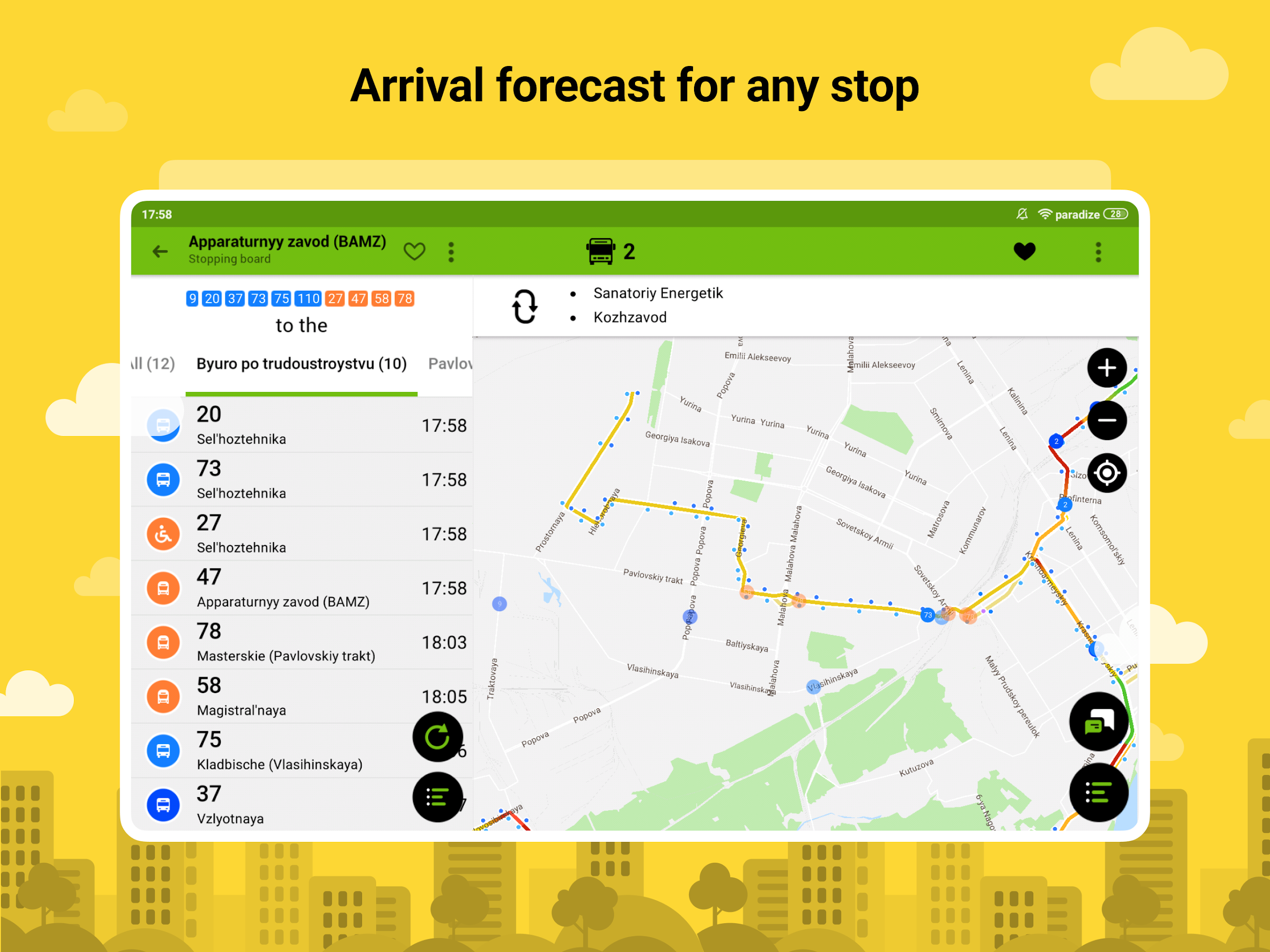
Passengers can check estimated departure and arrival times, view journey durations, and follow vehicles on an interactive map. The app also includes route and stop searches, public transportation schedules, and options for saving frequently used routes.
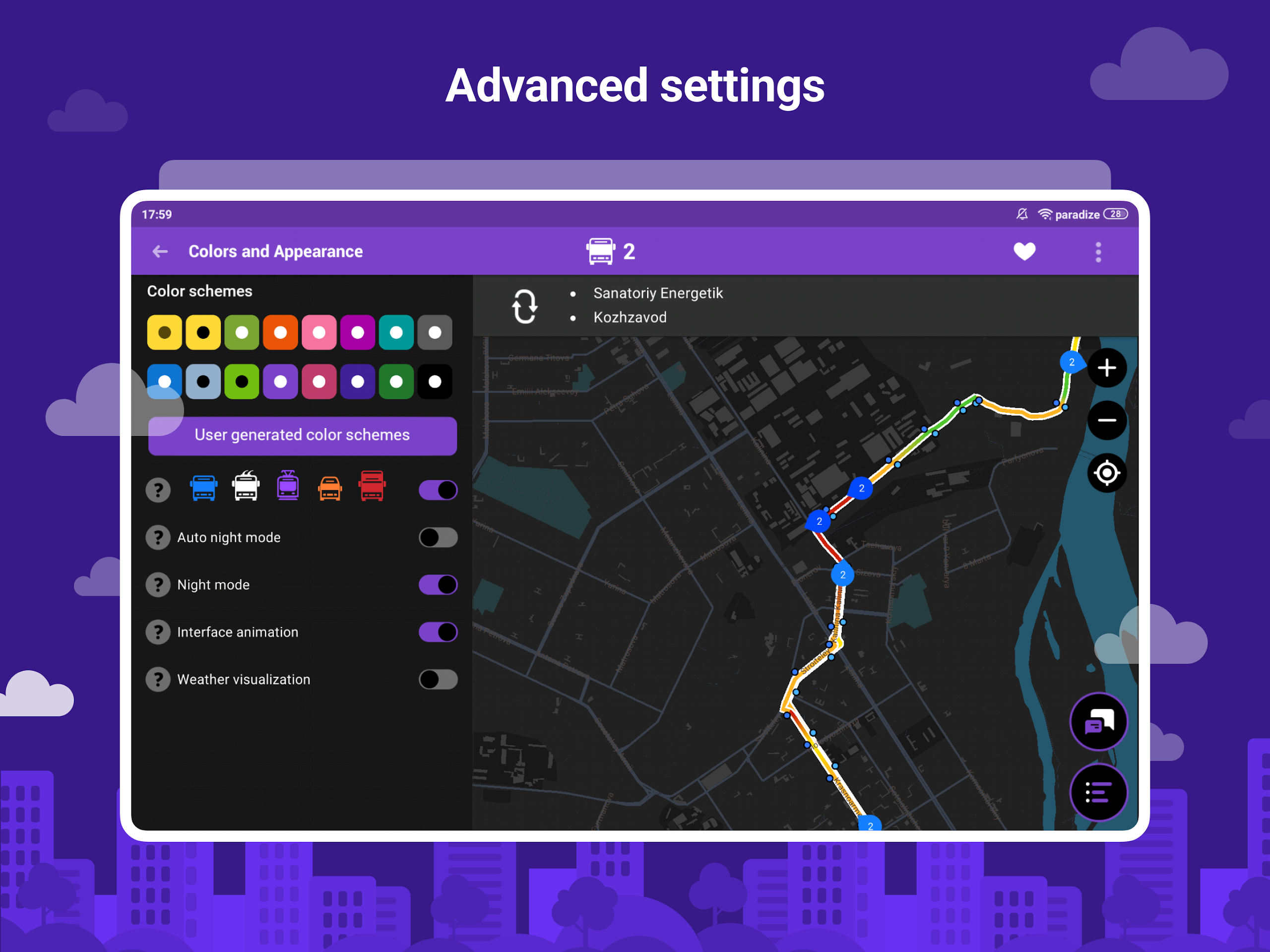
Additional features include customizable map displays, audio notifications, screen magnification, and route-specific passenger chats. In some areas, vehicle details also include low-floor and ADA-accessibility information, depending on the data provided by local transport operators.
Key Features
Real-Time Vehicle Tracking: View the reported positions of public transport vehicles using GPS and GLONASS data.
Coverage Across 400+ Cities: Access route and vehicle information in hundreds of cities, with availability varying by location.
Journey Time Estimates: Check predicted departure times, travel durations, and expected arrivals.
Multiple Transport Types: Track buses, trolleybuses, trams, and shuttles where supported.
Interactive Map: View transport routes, vehicle positions, and nearby stops.
Route and Stop Search: Search for services, stops, and available timetables.
Favorites and Multi-Route Tracking: Save regular routes and monitor several services simultaneously.
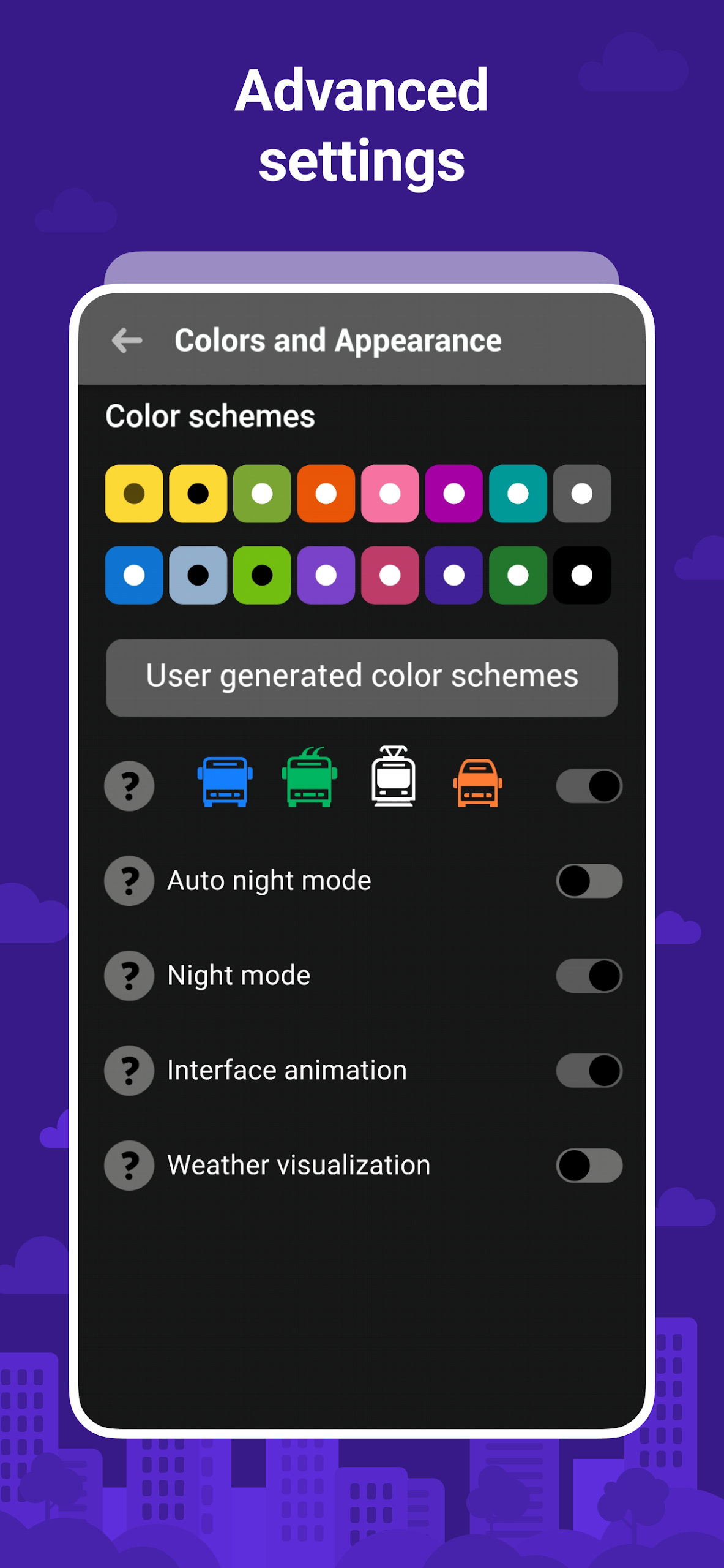
Map Customization: Adjust color schemes and tile sizes.
Accessibility Features: Use screen magnification and audio notifications, and view low-floor or ADA-accessibility markers where available.
Passenger Communication: Join route-specific discussions and rate transport crews.
Built-in Mini-Game: Play a small game while waiting for a vehicle.
How to Use Busti.me
1. Select Your City
Choose your city when opening the app. It will load the available routes, stops, schedules, and vehicle information for that area.
2. Find Routes and Stops
Enter a route number or stop name in the search field. Alternatively, explore the map to locate nearby stops and available services.
3. Track Vehicles
Select a route to view its timetable and approaching vehicles. Check estimated departure and arrival times, then follow vehicle positions on the map.
4. Save Regular Routes
Add frequently used services to your favorites. You can also monitor multiple routes simultaneously to compare schedules and connections.
5. Customize Settings
Adjust the map's color scheme and tile size, configure audio notifications, and enable screen magnification or available accessibility markers.
6. Communicate and Report Issues
Use route-specific chats to exchange information with other passengers. To report incorrect route or timetable details, contact customer support with the relevant information.
App Experience
Busti.me brings vehicle tracking, timetable searches, and route management together in one app. Its live map offers a more direct way to monitor public transport than relying solely on scheduled departure times, particularly when waiting for a vehicle.
The favorites function and multi-route tracking are useful for commuters who regularly travel on different services. Map customization and accessibility options add further flexibility, although the available tools vary between locations.
Regional data availability is the main limitation. Live vehicle positions, timetable details, and accessibility information depend on the information supplied by local transport operators. Consequently, some cities offer detailed tracking, while others provide only basic route and schedule information.
Busti.me is free to use and is available on smartphones and tablets.
FAQs
1. Is Busti.me free to use?
Yes. Busti.me is free to use, and no subscription is required to access the available transportation information.
2. Which types of public transportation does it support?
The app supports buses, trolleybuses, trams, and shuttles in locations where the corresponding transport data is available.
3. How does Busti.me track vehicles?
It uses GPS and GLONASS data from tracking devices installed on public transport vehicles. The platform also obtains transportation information through cooperation with governmental and municipal organizations.
4. Why can't I find my city or route?
Busti.me does not cover every public transportation system. If your city is missing, contact customer support and provide the name of the local transport authority. The team may then approach the relevant organization about providing its transportation data.
5. How can I report incorrect route or timetable information?
Contact customer support with the city name, route number, and details of the error. Including a link to an official transport authority website or another reliable source with the correct information can help clarify the issue.
6. Does Busti.me offer accessibility features?
Yes. Available options include screen magnification, audio notifications, and markers identifying low-floor or ADA-accessible vehicles. Vehicle accessibility details depend on the information provided by local transport operators.
- Version222
- UpdateNov 16, 2026
- DeveloperBustime
- CategoryMaps & Navigation
- Requires AndroidAndroid 5.0+
- Downloads3M+
- Package Namecom.indie.bustime
- Signature852678788671d21aab370c8343e6bdd9
- Available on
- ReportFlag as inappropriate
-
NameSizeDownload
-
25.78 MB
-
21.56 MB
-
20.70 MB















Provides real-time bus tracking
Offers search by route and stop
User-friendly interface with clear navigation
Includes features like route intersections
Updates frequently based on user feedback
Maps and tracking accuracy are commendable
Useful for tourists and daily commuters
Supports multiple cities for tracking
No English support for travelers
Issues with outdated or inaccurate data
App crashes frequently during use
Difficult to understand for some users
High sensitivity of swipe gestures
Limited visibility of bus stops on the map
Slow performance and lagging updates
Missing critical features like scrolling inertia
Inconsistent tracking accuracy between different locations