
MarineTraffic - Track ship locations
Track ships worldwide in real-time with MarineTraffic's comprehensive vessel tracking feature

- 4.1.85 Version
- 4.9 Score
- 4M+ Downloads
- In-app purchases License
- 3+ Content Rating


MarineTraffic
App Overview
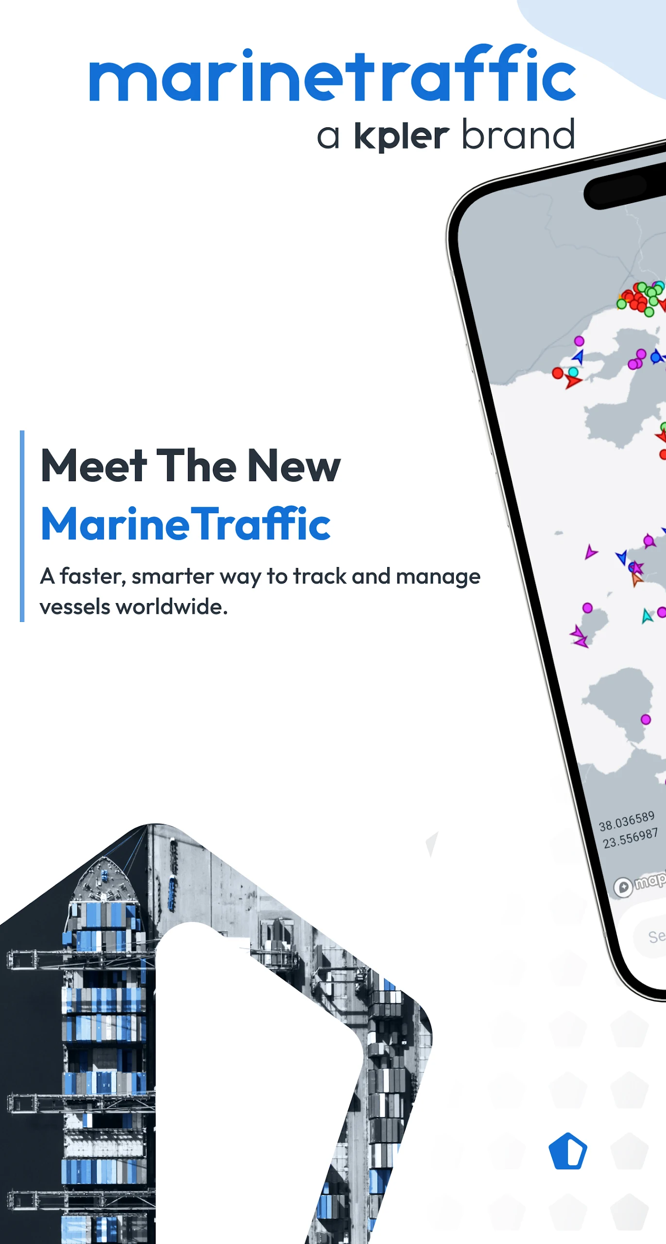
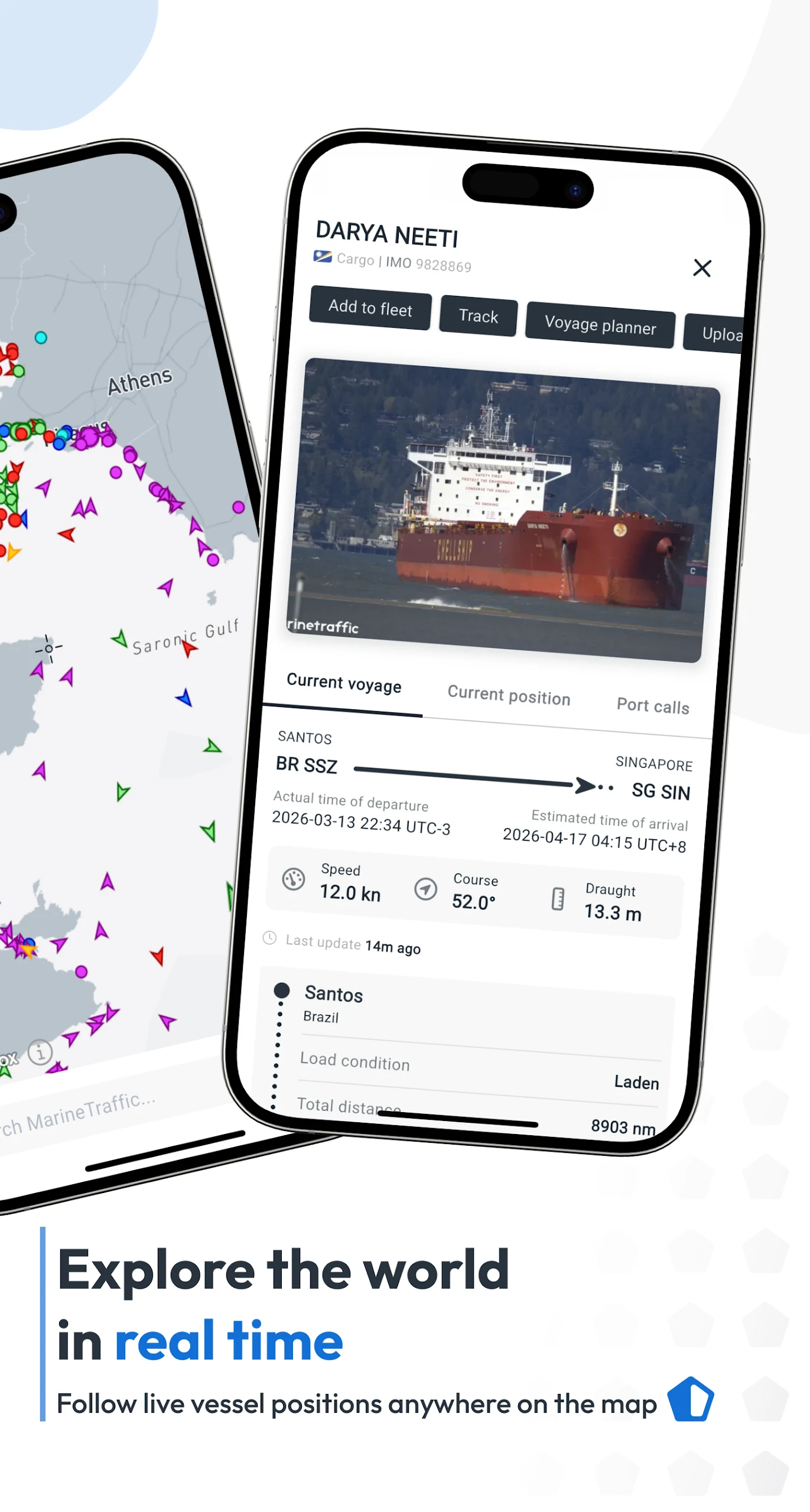
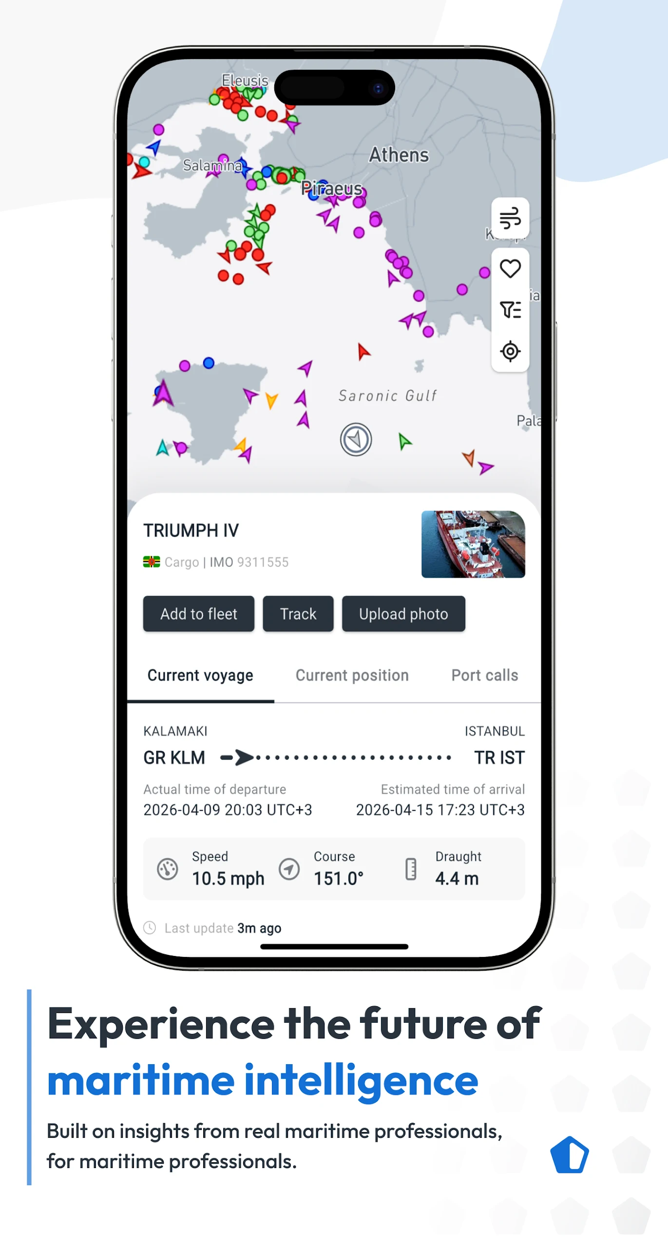
MarineTraffic is a vessel-tracking app that displays the near-real-time positions of ships, yachts, and other marine vessels worldwide. Using AIS (Automatic Identification System) data collected through a network of land-based receivers, it shows vessel movements across major ports and shipping routes. Users can search for individual vessels and view available information such as their positions, speeds, destinations, and estimated arrival times.
Beyond vessel tracking, the app includes tools for monitoring port activity, checking wind conditions and forecasts, and replaying recorded vessel movements. Its photo library features images of ships, harbors, and lighthouses. The augmented reality feature uses the device's camera to identify nearby vessels and display details about them.
MarineTraffic is intended for maritime enthusiasts, shipping professionals, travelers, and others interested in vessel movements and maritime activity.
Key Features
Live Vessel Tracking: View ships, yachts, and boats on a global map using AIS data from land-based receivers
Vessel and Port Search: Search for specific vessels or ports and explore maritime traffic in selected areas
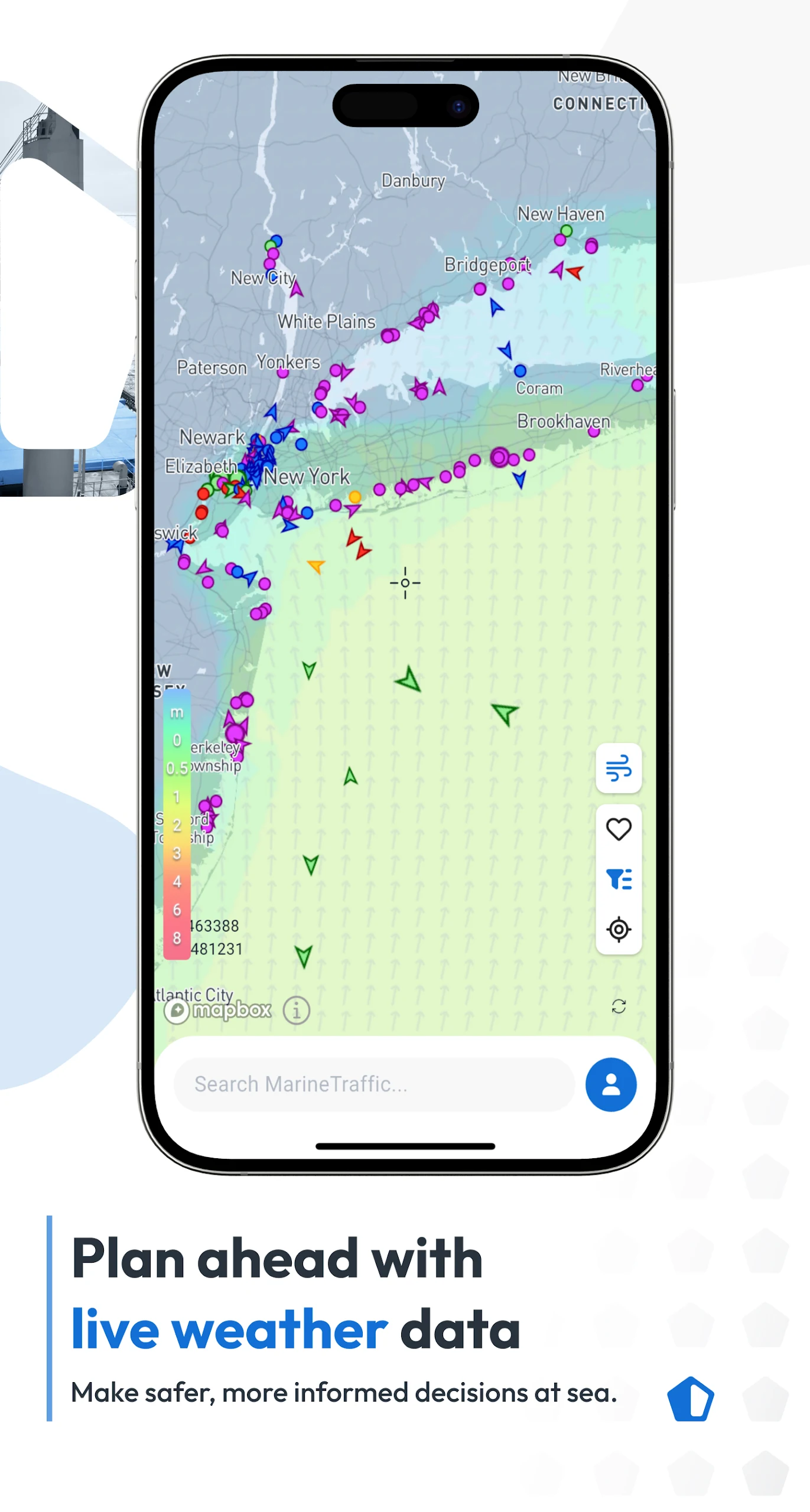
Wind Information and Forecasts: Check current wind conditions and forecasts for the next 48 hours
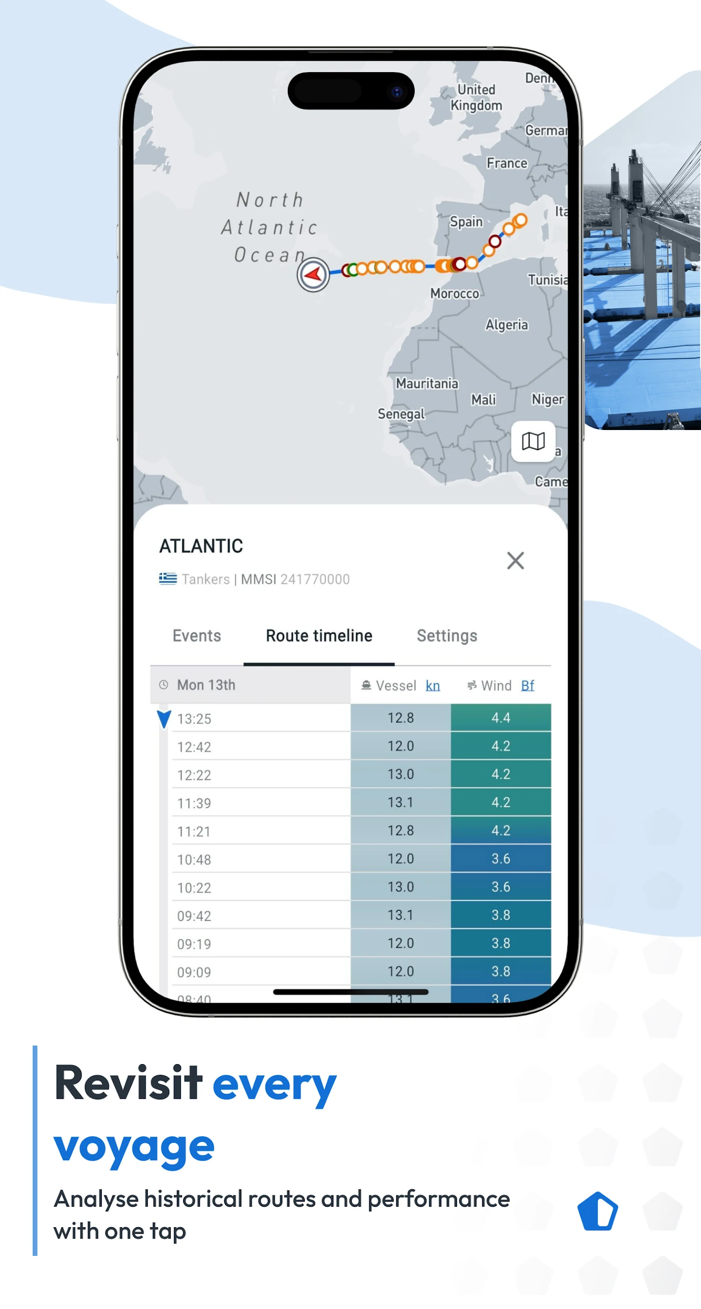
Route Playback: Replay recorded vessel movements and review previously traveled routes
Port Arrivals and Departures: View vessel movements at more than 4,000 ports and marinas, including estimated arrival times and port information
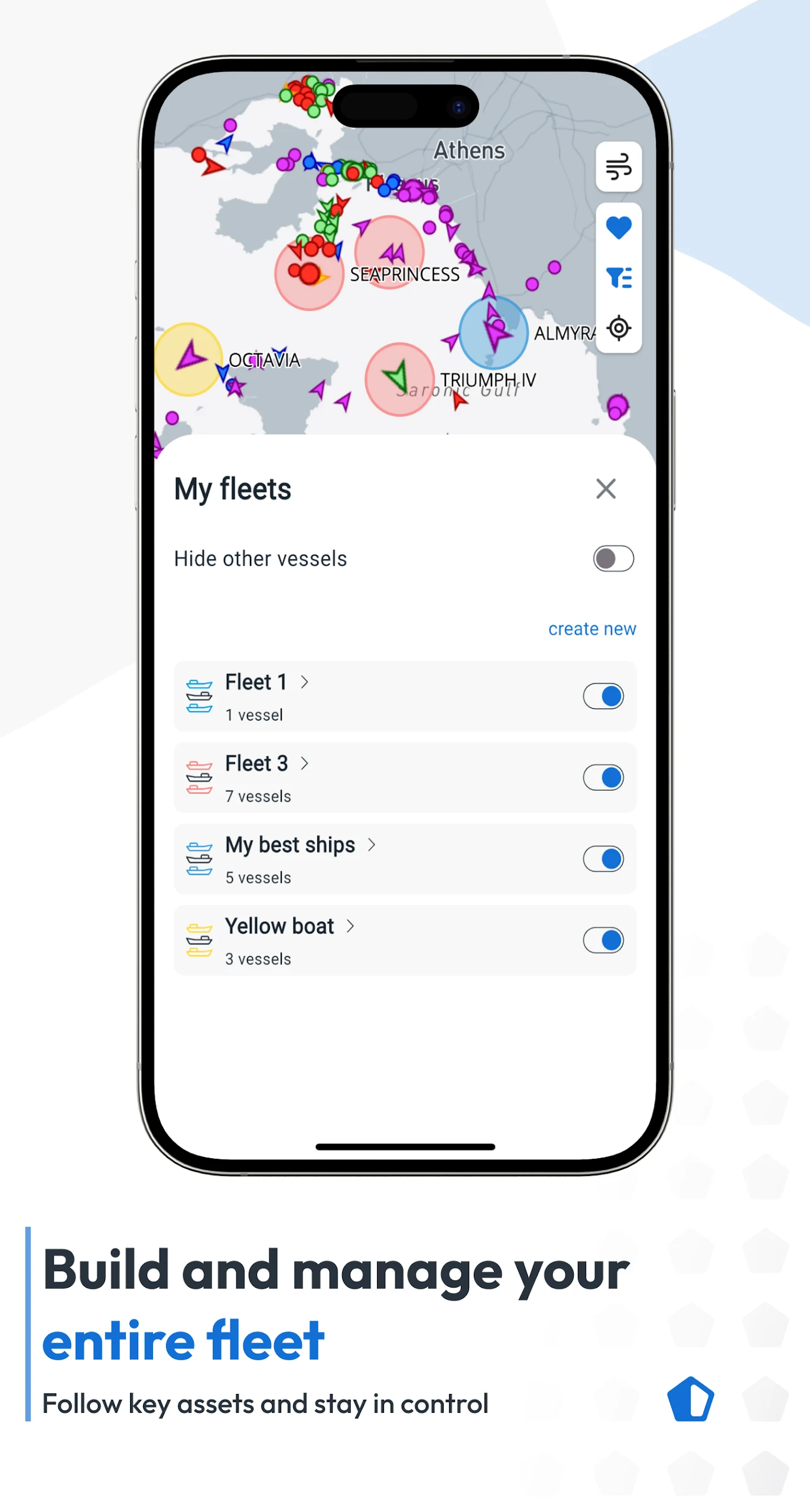
My Fleet: Save frequently followed vessels to a personal list and synchronize entries across supported devices and the MarineTraffic website
Ship Photo Library: Browse maritime photographs featuring ships, harbors, lighthouses, and other subjects
Satellite AIS Tracking: Use Plus 24 to access satellite-based AIS data and track vessels beyond the coverage of land-based receivers
Augmented Reality: Identify nearby vessels through the device's camera and view information such as names, flags, speeds, and distances
How to Use MarineTraffic
1. Create an Account
Open the app and go to Menu > Settings > My Account > Register. You can register using an email address or sign up with your Google account.
2. Explore the Live Map
Open the map to view vessel positions and maritime traffic worldwide. Use the search function to locate a specific ship or zoom in on an area to see nearby vessels.
3. View Vessel Information
Select a vessel on the map to open its information panel. Depending on the available AIS data, you can check its position, speed, destination, and estimated arrival time.
4. Explore Additional Tools
Use route playback to review previous vessel movements, check wind forecasts, or view port arrivals and departures. The augmented reality feature can also identify vessels in nearby waters using your device's camera.
5. Manage My Fleet
Add vessels to My Fleet to keep track of frequently followed ships. Your saved list can be synchronized across supported devices and the MarineTraffic website.
Premium Features
MarineTraffic offers additional data and tools through paid services. Depending on the subscription or purchase, available features may include:
Nautical Charts: Access nautical chart information for maritime navigation
Advanced Weather Maps: View more detailed weather conditions and related information
Advanced Density Maps: Examine vessel traffic concentrations across different maritime regions
Satellite AIS Data: Track vessels using satellite-based AIS signals in areas with limited land-based receiver coverage
Premium features depend on the selected subscription or purchase. Some services may require separate in-app payments rather than being included in a standard subscription. Before purchasing satellite tracking, check the coverage available in your intended region on the official MarineTraffic website.
FAQs
1. Is MarineTraffic free to use?
MarineTraffic offers free account registration and basic vessel-tracking functions. Advanced tools, nautical charts, and additional tracking data may require an in-app purchase or paid subscription.
2. How does MarineTraffic track ships?
The app primarily uses AIS signals collected by land-based receivers to display vessel positions. Paid services may also provide satellite AIS data, extending coverage beyond terrestrial receiver networks.
3. Can I track a specific ship?
Yes. Enter the vessel's name in the search bar to locate it on the map and view its available position and movement information.
4. Why can't I find a particular vessel?
A vessel may not appear if it is not transmitting AIS signals or is outside the coverage of available receivers. Satellite AIS can extend coverage in some areas, but tracking still depends on signal availability.
5. Can I check a ship's estimated arrival time?
Yes. MarineTraffic displays estimated arrival times for supported vessels. You can also check arrivals and departures at supported ports and marinas.
6. Does MarineTraffic provide weather forecasts?
Yes. The app provides current wind conditions and forecasts for the next 48 hours. More detailed weather information and maps may be available through paid services.
- Version4.1.85
- UpdateNov 12, 2026
- DeveloperMarineTraffic Applications
- CategoryMaps & Navigation
- Requires AndroidAndroid 7.0+
- Downloads4M+
- Package Namecom.marinetraffic.android
- Signature69c28a15eb4674827fd9328390c510d5
- Available on
- ReportFlag as inappropriate
-
NameSizeDownload
-
71.13 MB
-
64.98 MB
-
71.13 MB












Identifying passing marine traffic
Pages of useful info, including a fair amount on eateries as well as needed nautical stuff
Unable to integrate with your own AIS transponder