
WindAlert: Wind & Weather Map - Local weather alerts & forecasts
Experience accurate local weather with real-time updates, customizable alerts & advanced forecasting at your fingertips!

- 4.00 Version
- 1.6 Score
- 163K+ Downloads
- In-app purchases License
- 3+ Content Rating

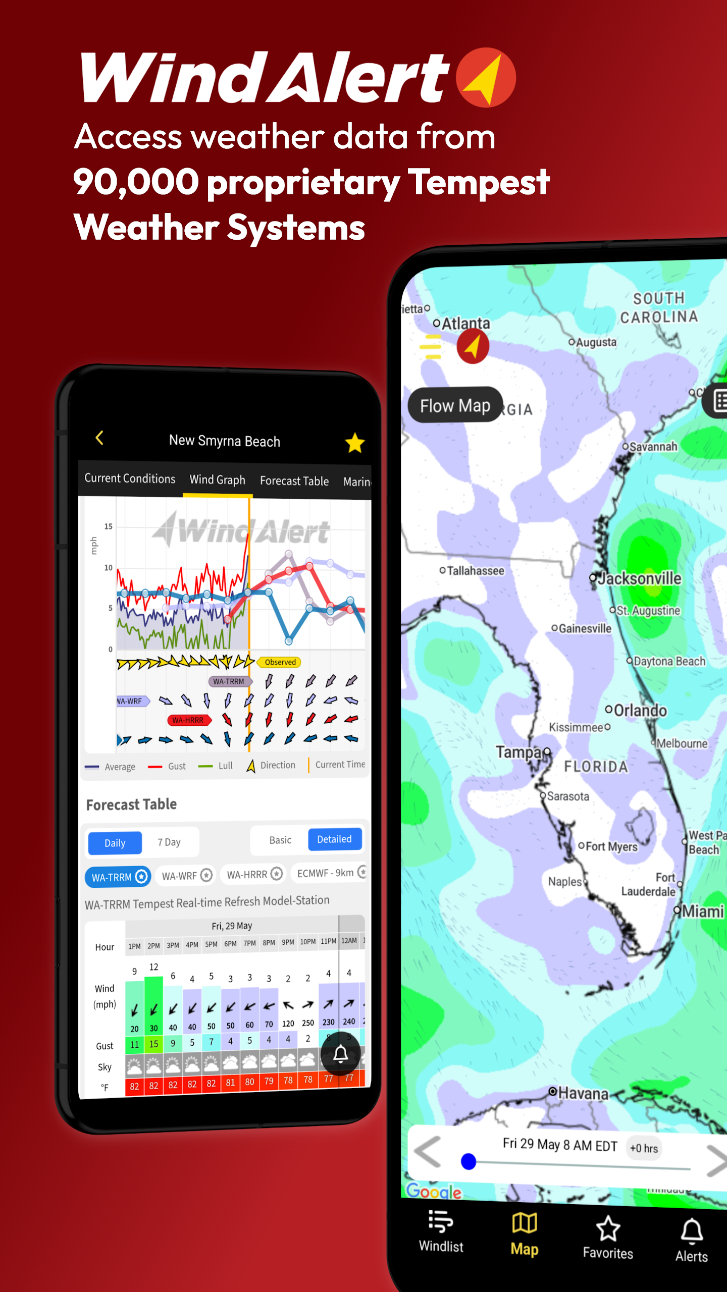
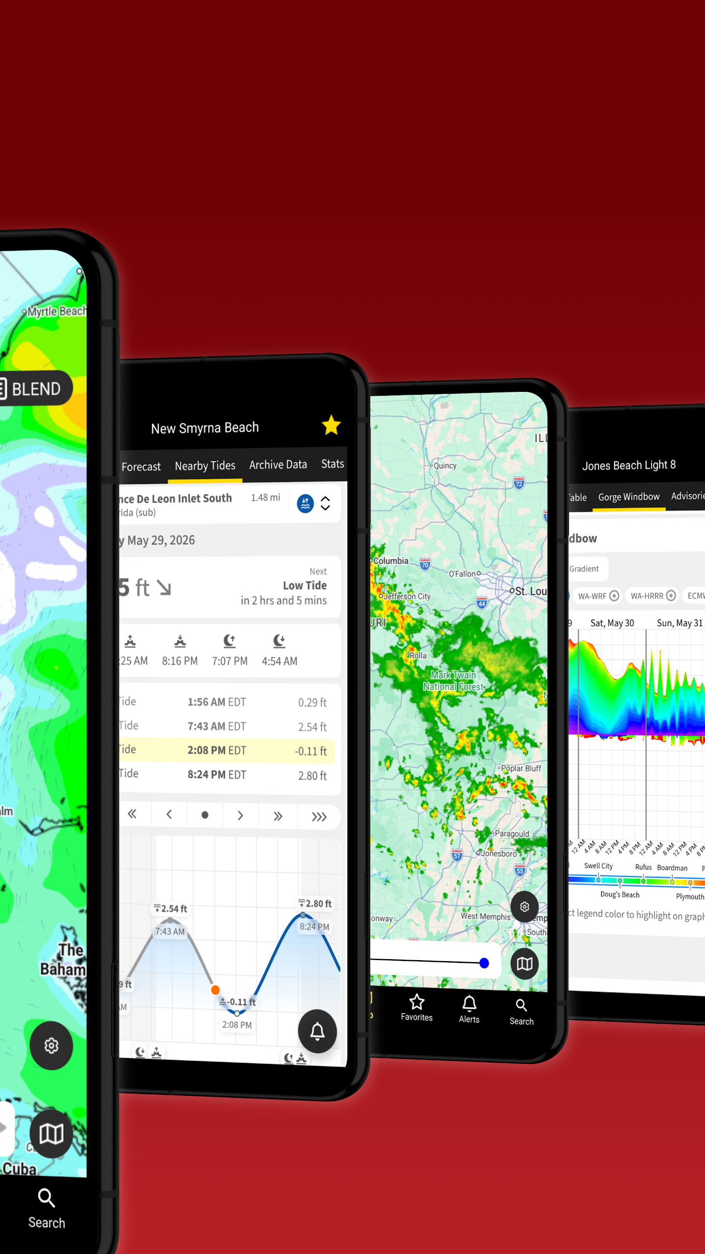
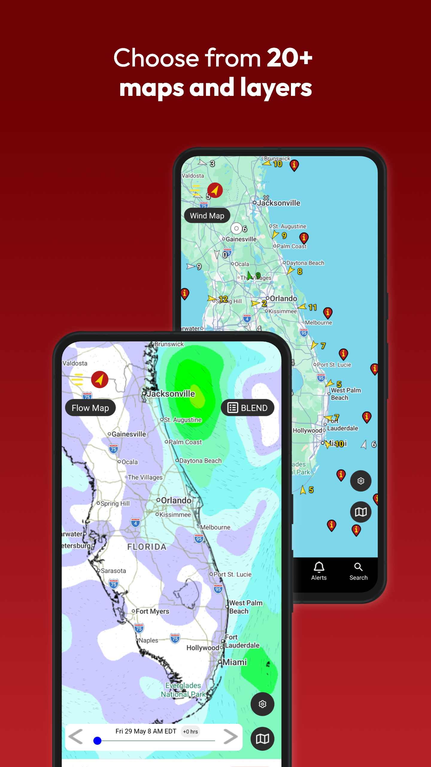
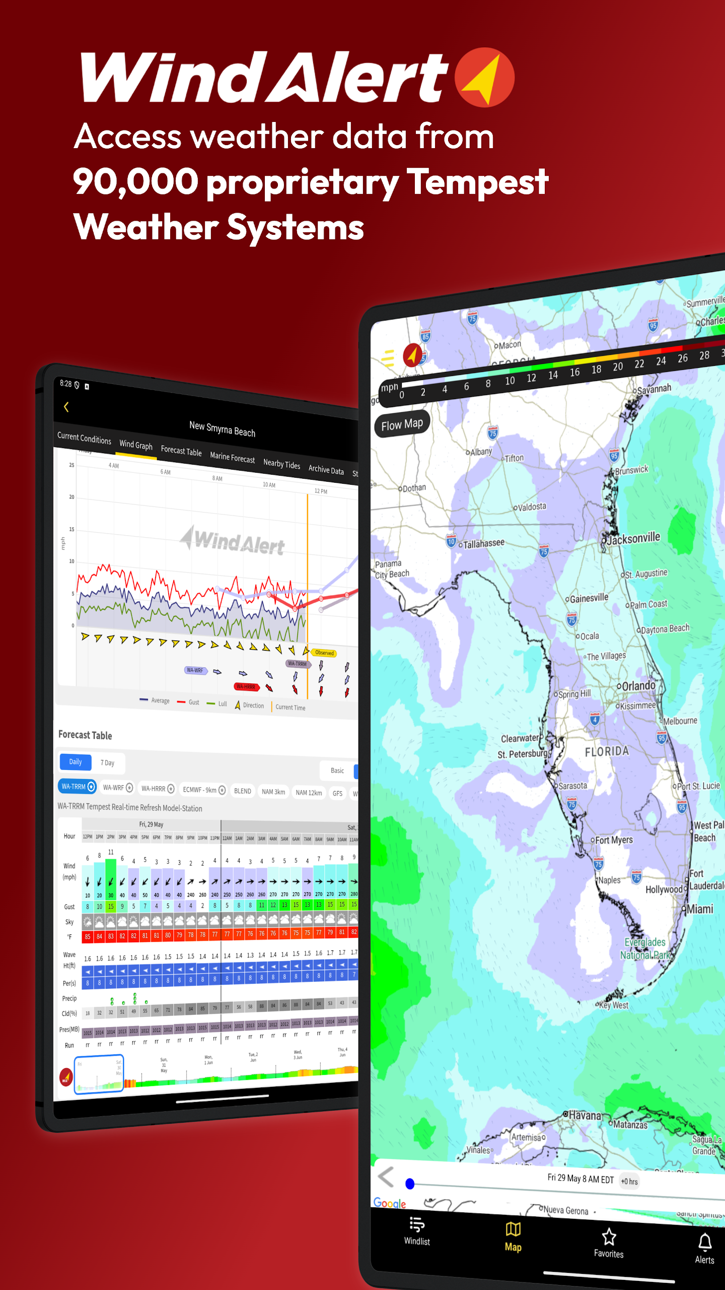
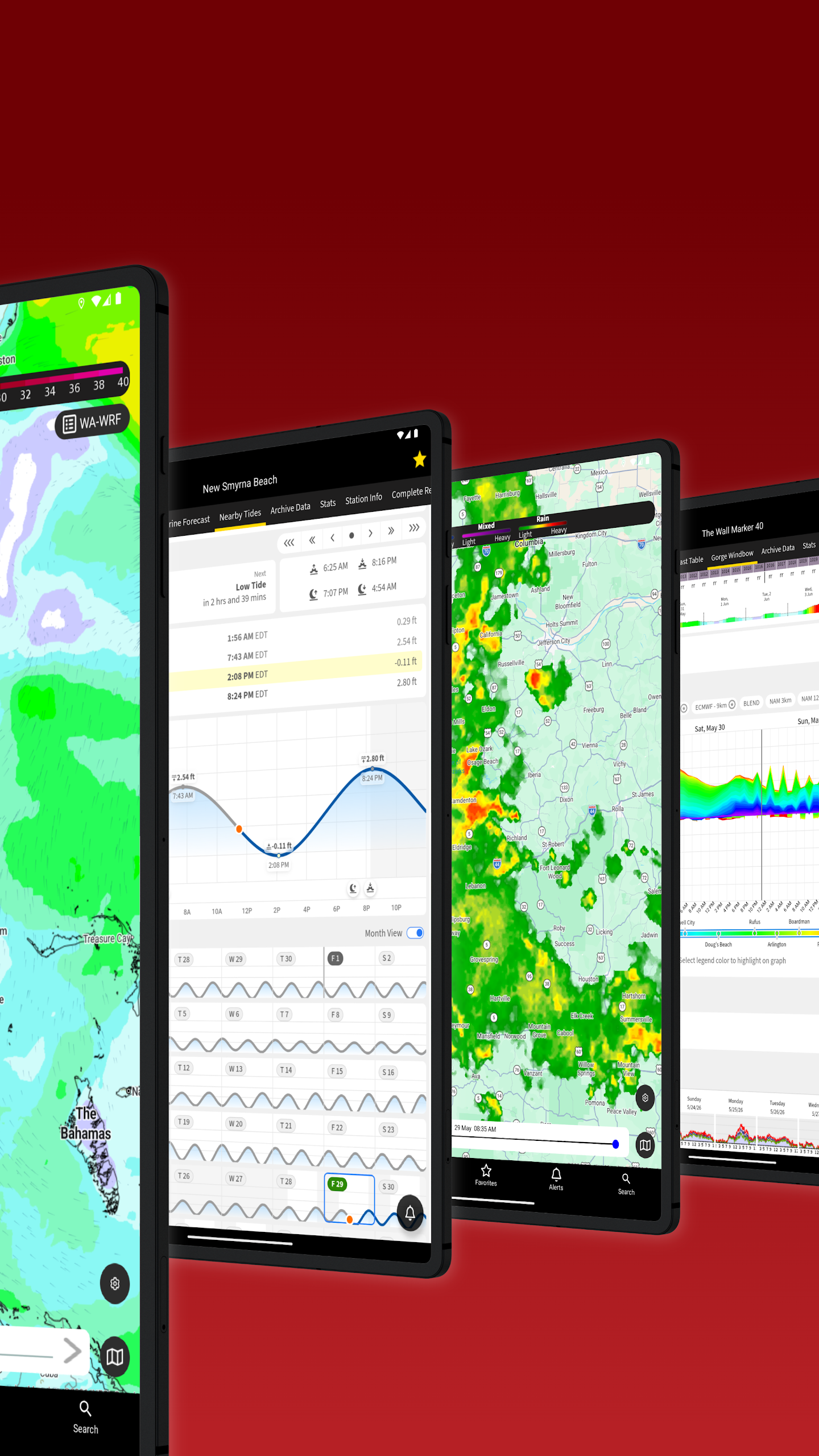
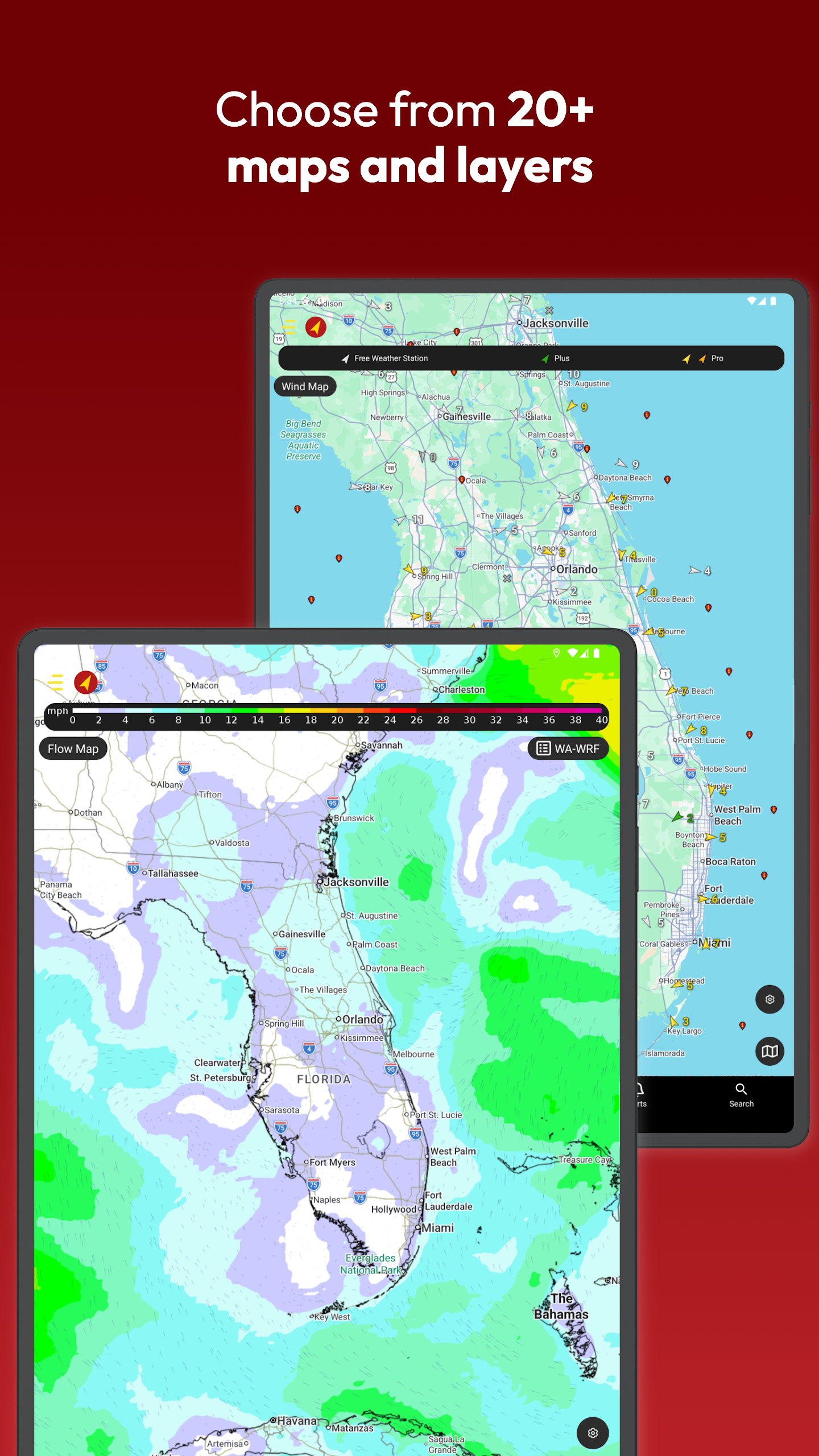
WindAlert provides localized weather information for your area, utilizing observations from nearby locations.
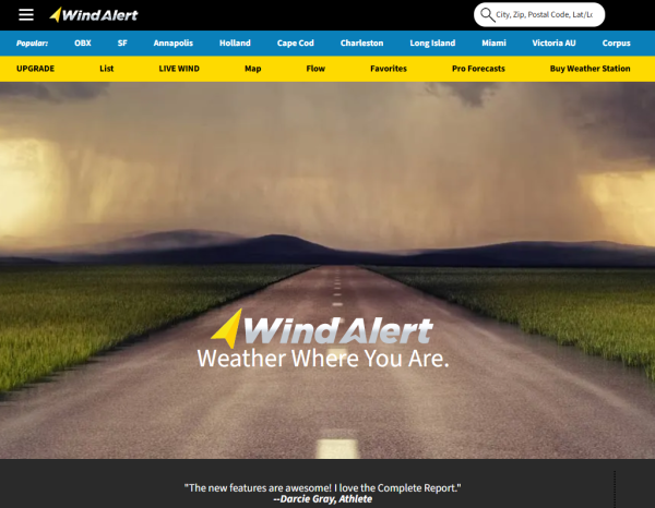
With more than 65,000 unique Tempest Weather Systems installed, you receive real-time updates tailored to your specific location. Our Tempest Rapid Refresh Model offers the most precise Nearcast predictions available to users. In addition to our exclusive observations, we complement our data with information from government entities such as NOAA and NWS, as well as reports from AWOS, ASOS, METAR, and CWOP. You can also access radar and forecast maps, along with personalized wind alerts, generating a reliable environmental overview.
Reasons to download WindAlert:
- Access neighborhood insights from exclusive Tempest Weather Systems combined with public domain weather reports (NOAA, NWS, METAR, ASOS, CWOP), totaling over 125,000 distinct stations.
- Our proprietary Tempest Weather Systems include haptic rain sensors and sonic anemometers, coupled with local barometric pressure sensors, ensuring dependable ground truth readings.
- Real-time wind data provides an enhanced map of windy conditions, supported by current station reports that undergo advanced quality control.
- Proprietary AI-driven Nearcast forecasting enhances predictions related to temperature, wind gusts, velocity, direction, humidity, dew point, precipitation rates, chances of precipitation, and cloud cover percentages.
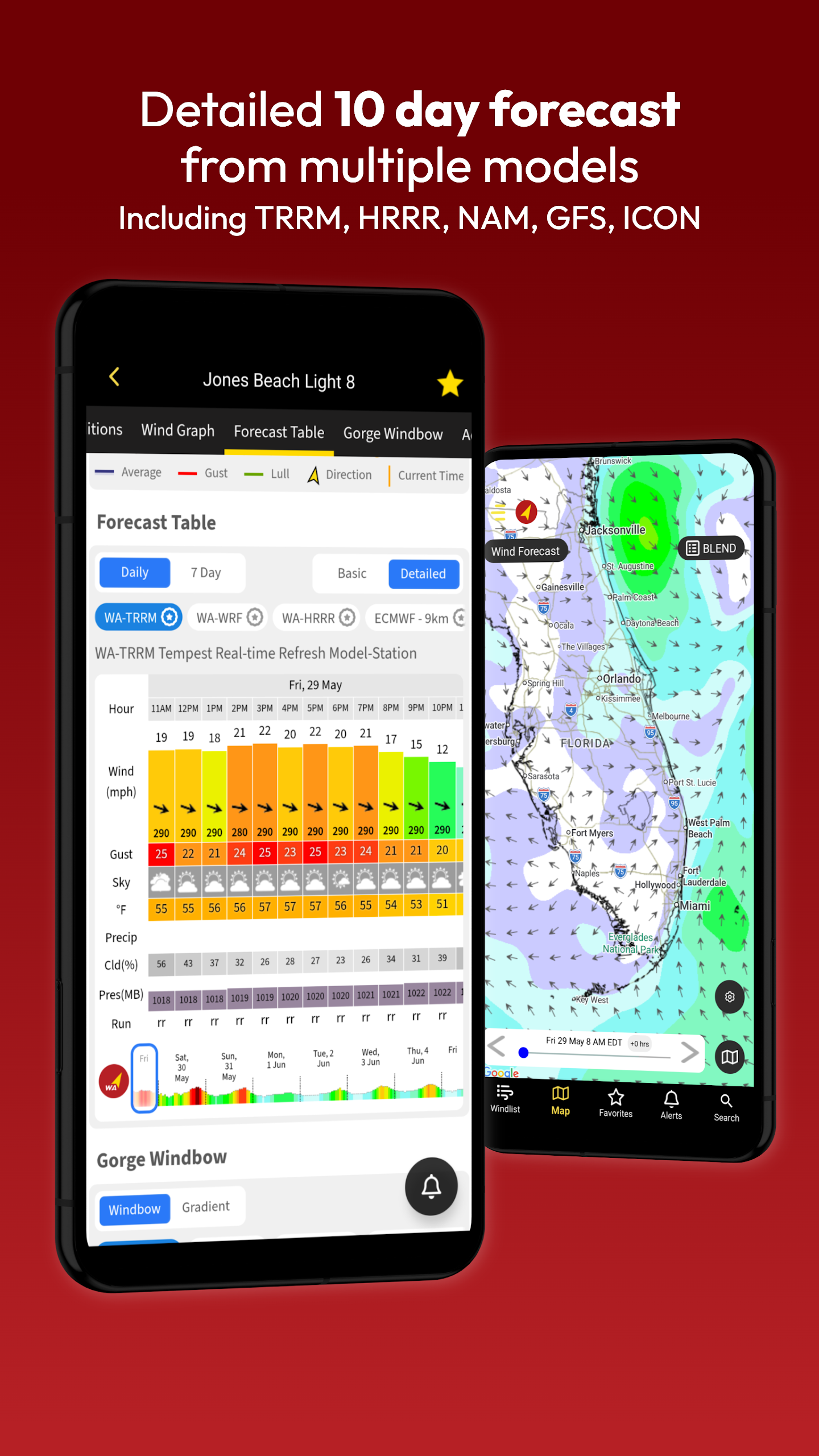
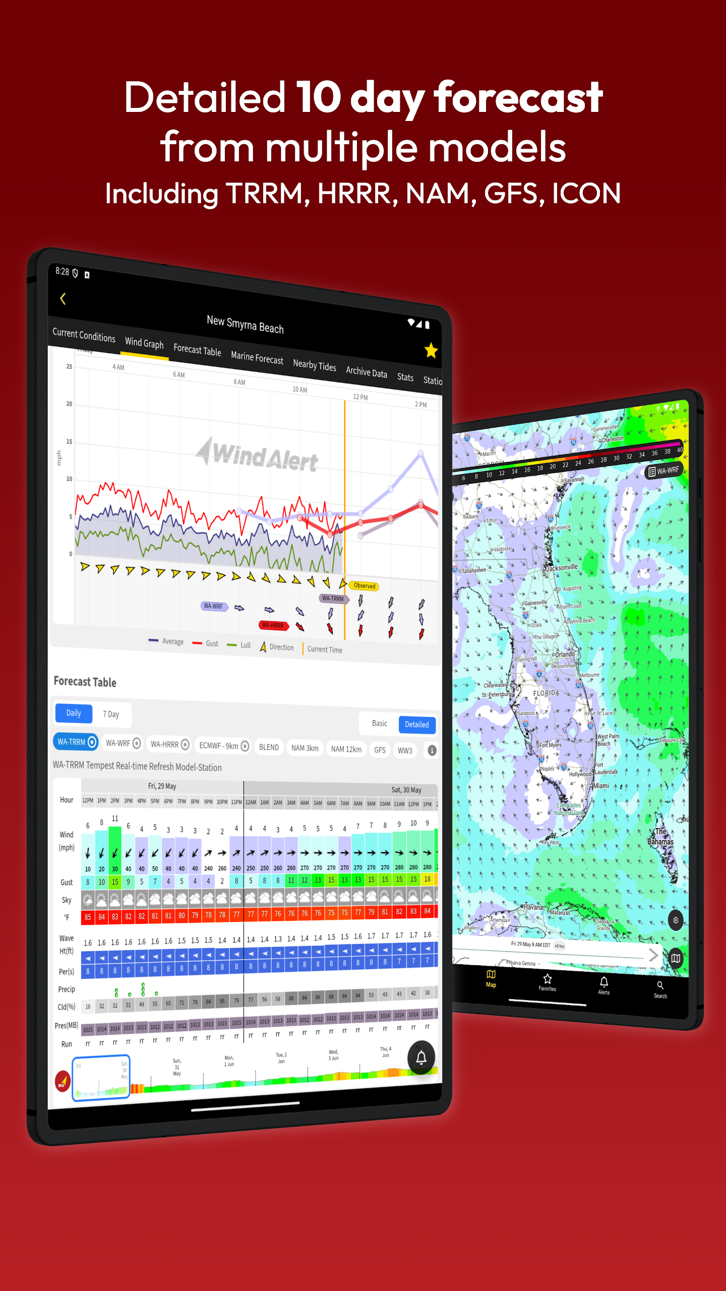
- Multiple public domain forecast models are available, including High Resolution Rapid Refresh (HRRR), North American Mesoscale Forecast System (NAM), Global Forecast System (GFS), Canadian Meteorological Centre Model (CMC), and Icosahedral Non Hydrostatic Model (ICON).
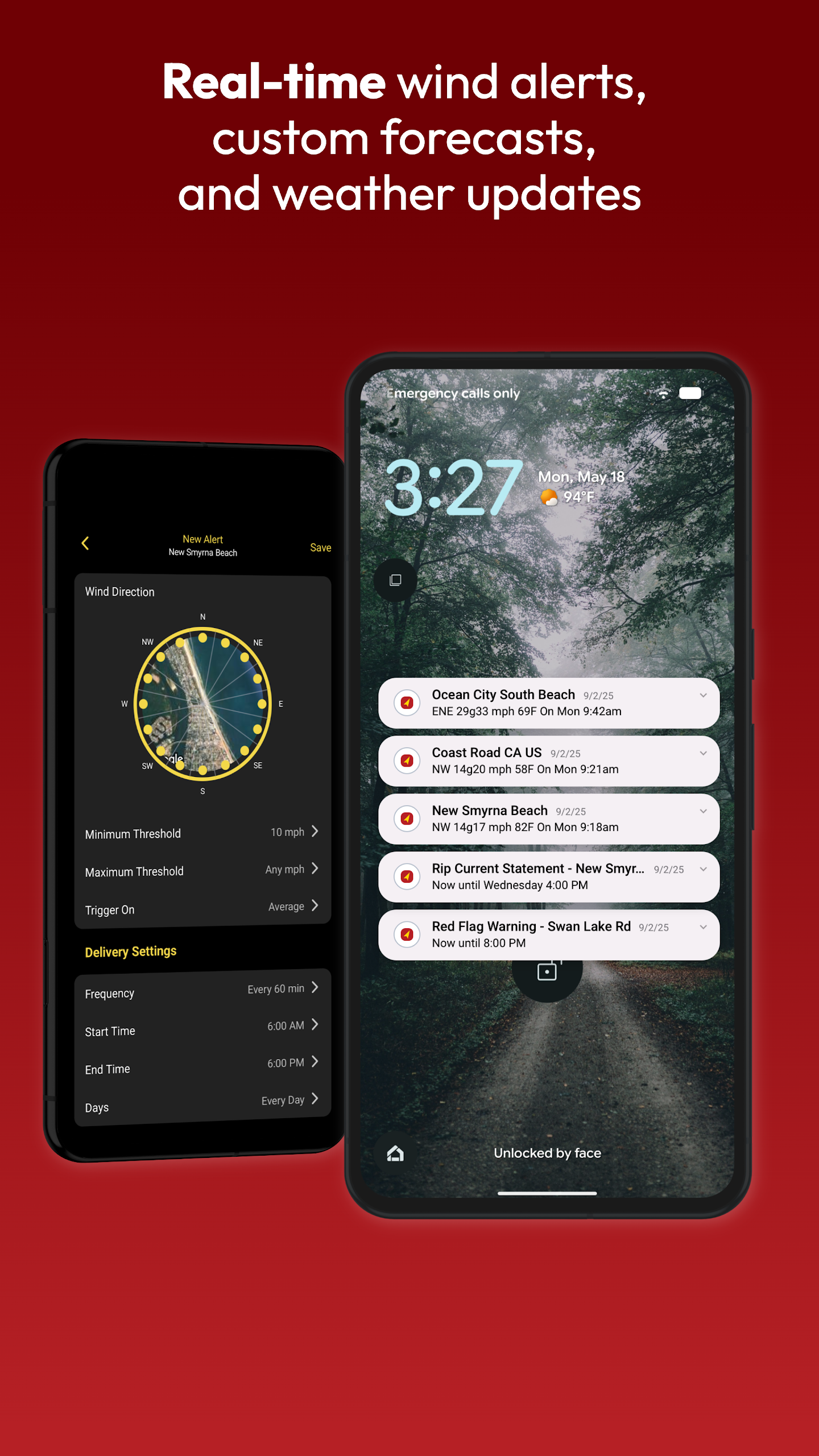
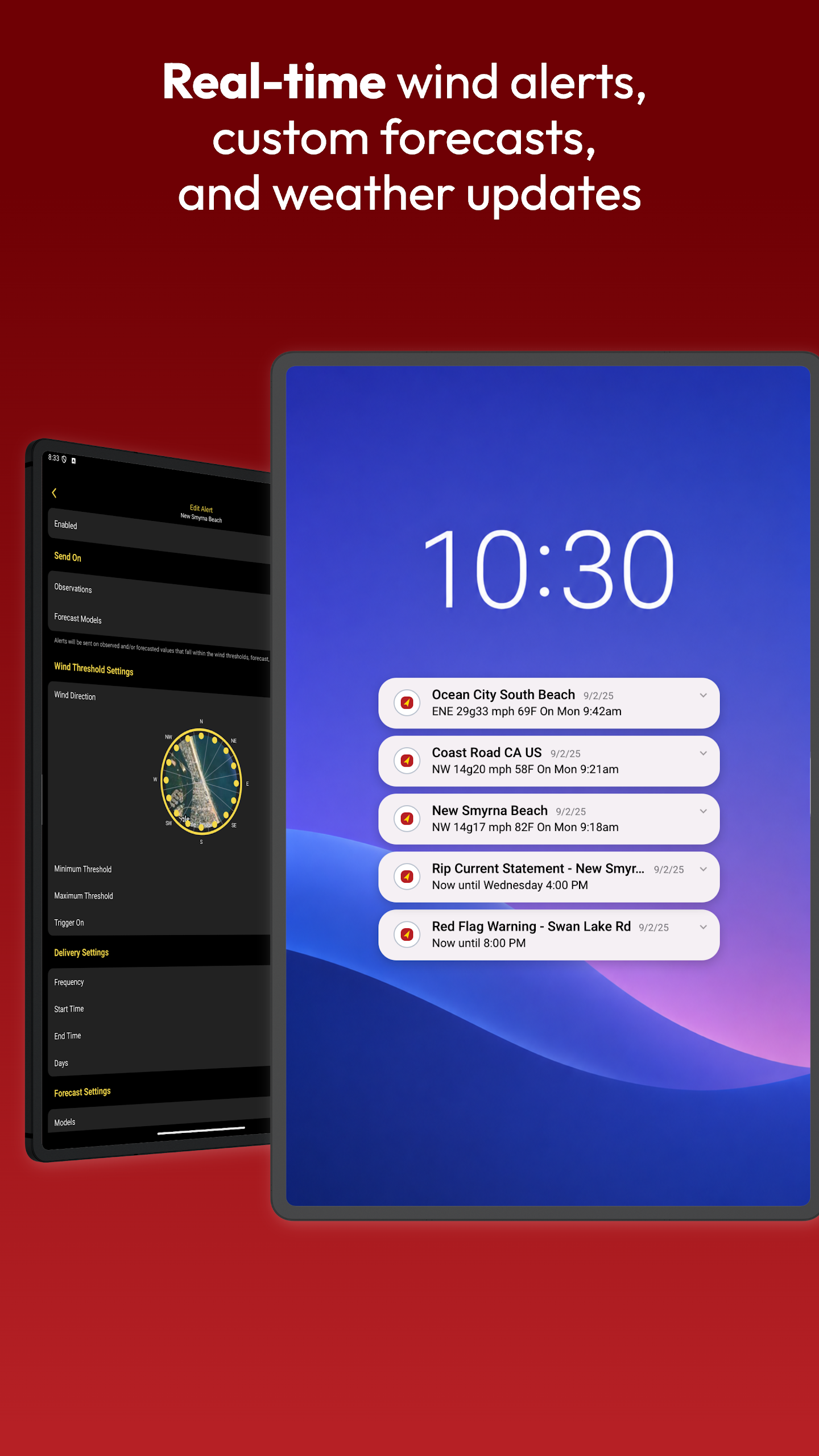
- Enjoy free unlimited wind notifications and alerts with customizable settings delivered via email, text, or in-app notifications.
- Enhanced location management: create a list of favorite stations to monitor continuously.
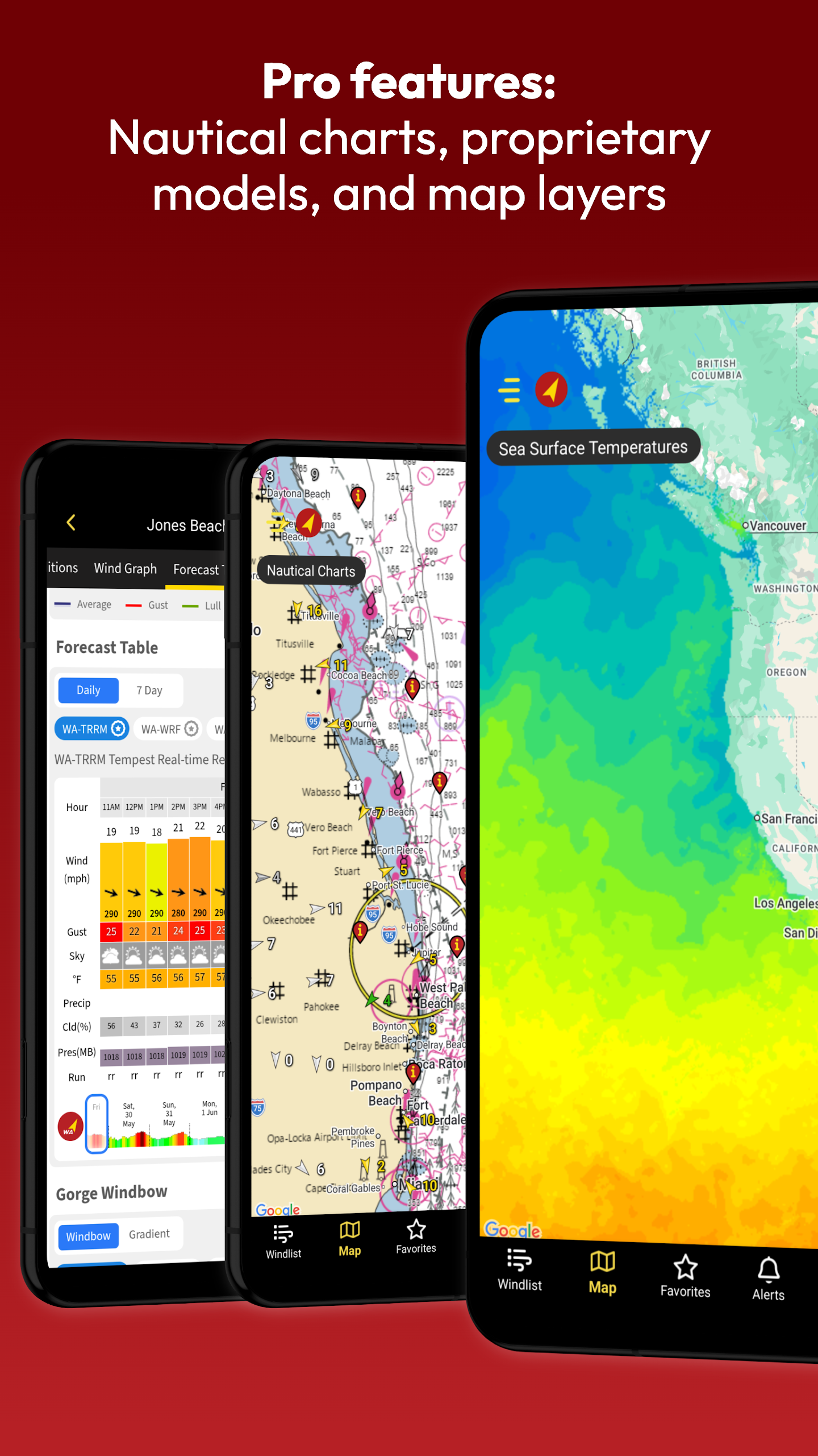
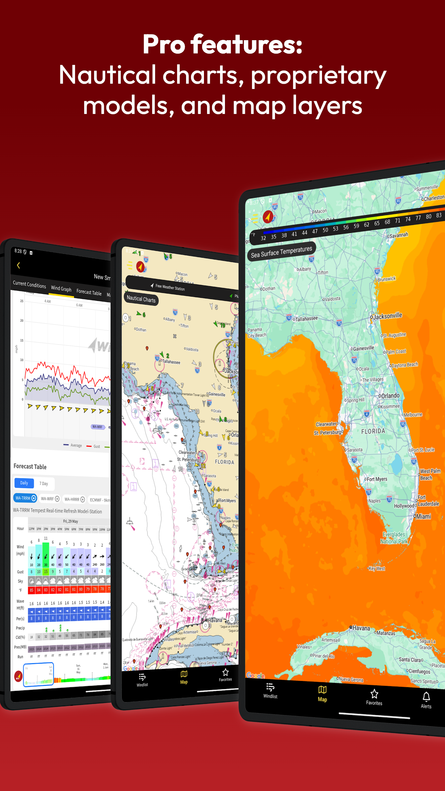
- Maps: Display live and forecasted wind, temperature forecasts, radar, satellite imagery, precipitation, clouds, as well as nautical charts.
- Customized maps cater to drone pilots, small aircraft, farmers, runners, dog walkers, gardeners, truck drivers, kayakers, surfers, and many others!
- Marine forecasts provided by the National Weather Service (NWS).
Additional features include:
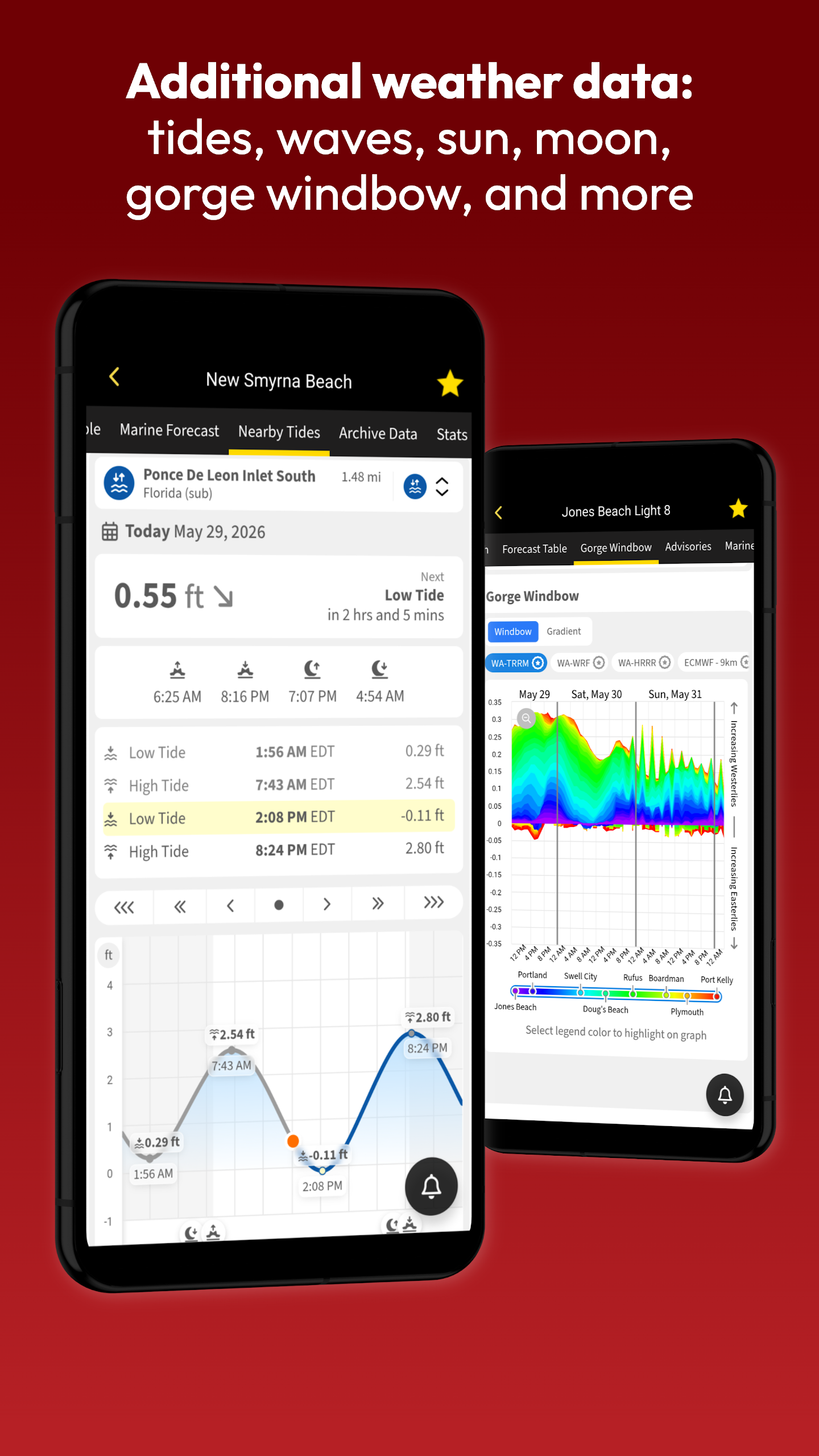
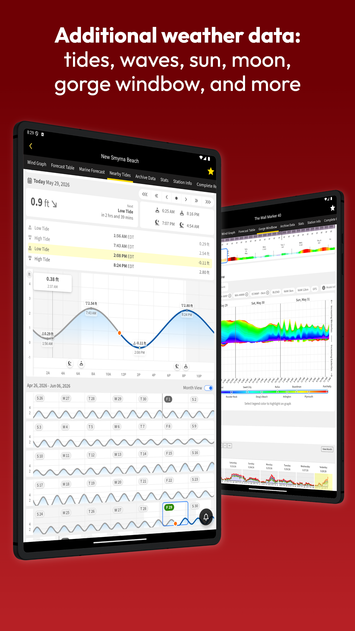
- Tide charts
- Wave Height and Wave Period
- Water Temperature
- Sunrise and Sunset times
- Moonrise and Moonset times
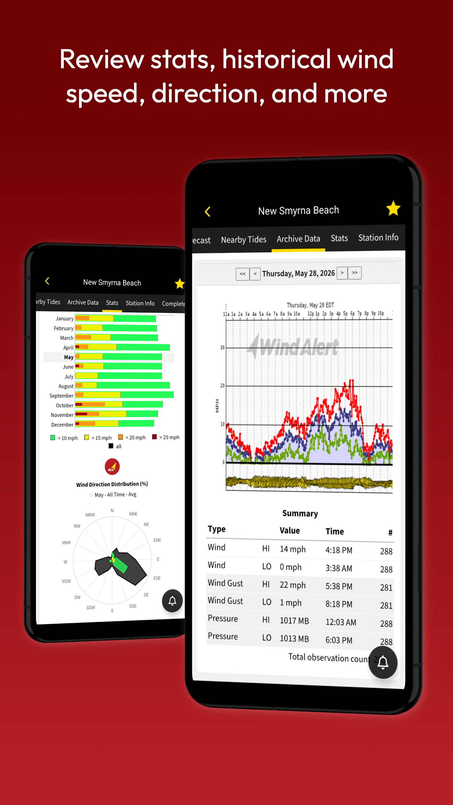
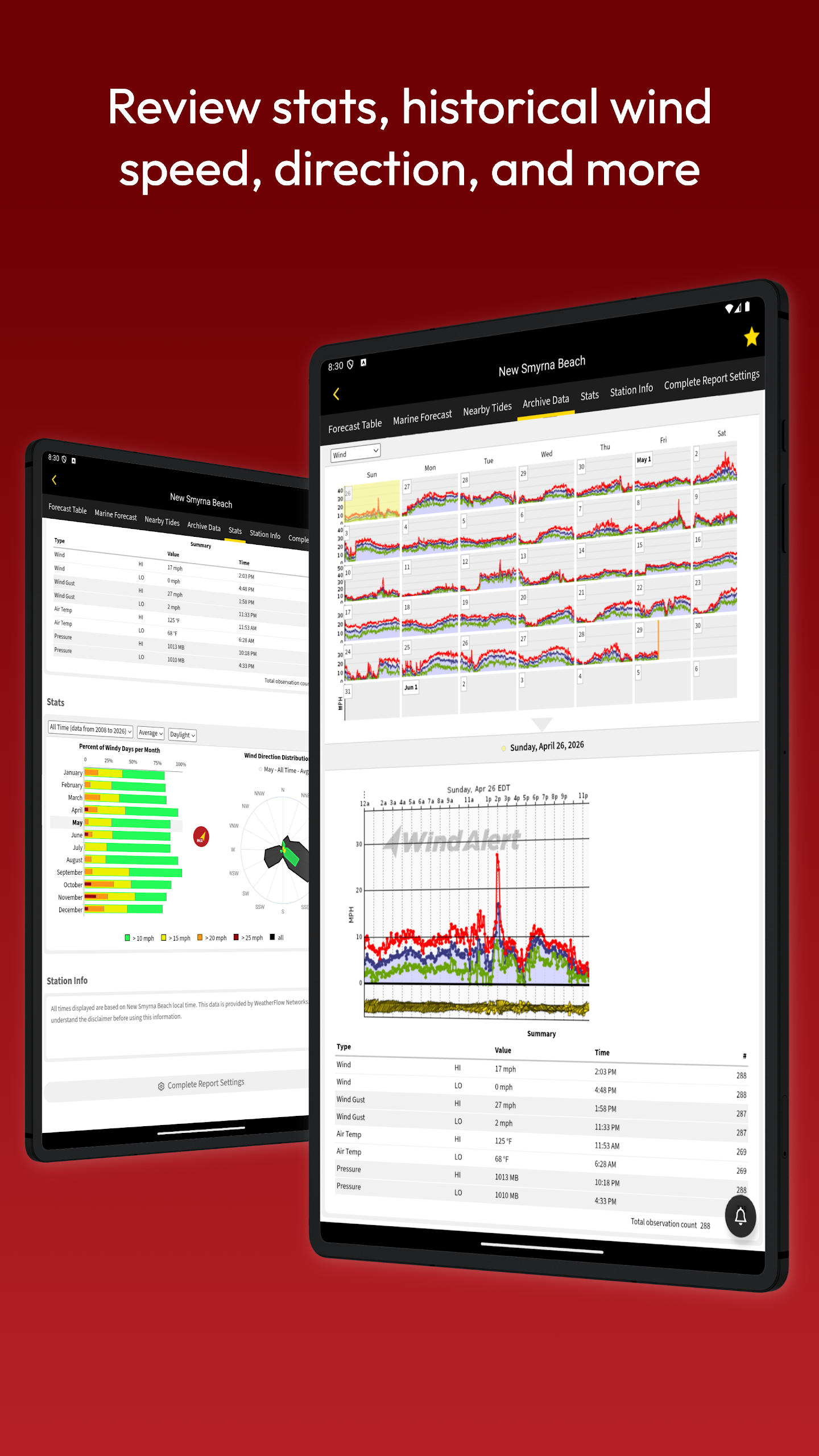
- Historical Wind Speed data
- Monthly details on windy days averaging based on gusts
- Distribution of wind direction
Interested in more weather information?
- Consider upgrading to plus, pro, or gold membership for expanded access to additional weather stations and forecast areas.
- Pro and Gold members gain entry to professional-grade hurricane-resistant stations provided in collaboration with WeatherFlow Networks for high-risk coastal sites.
- Get comprehensive weather data, including gusts, rain radar, and satellite imagery relevant to coastal residents and property owners near oceans, rivers, and other bodies of water.
Features for on-water conditions include:
- Sea surface temperatures
- Sea surface currents
- Detailed historical wind data
- Average historical wind speeds annually
What else can you do?
- Become part of the Tempest Weather Network!
- Obtain a Tempest Weather System for your backyard.
- Your TempestHome Systems can be registered in the WindAlert app.
- Contribute historical weather data to the wider community and enhance scientific records.
Looking for additional features?
Find support through designated help resources.
Engage with Tempest on social media platforms to stay updated.
Target audience:
1. **Outdoor Enthusiasts**
Surfers, kayakers, runners, and others can view personalized real-time wind conditions, wave height, water temperature, and other data to plan their trips and activities.
2. **Professional Workers**
Drone pilots, small aircraft pilots, truck drivers, farmers, and gardeners can use customized weather maps and accurate forecasts to avoid weather risks and schedule work.
3. **Coastal Residents and Related Professionals**
Residents of coastal and riverside areas, as well as those working in marine industries, can access hurricane warnings, sea surface temperature, ocean currents, and other data to cope with extreme weather.
4. **Weather Enthusiasts and Community Contributors**
Those passionate about weather observation can purchase Tempest weather station access to share their personal observation data and help improve community weather records.
5. **The General Public**
Users seeking accurate and localized weather information can use the free features to meet their daily needs for viewing real-time weather, radar charts, and customized wind condition alerts.
Related Questions and Answers:
1. **Q: Why is WindAlert's weather data more accurate than regular weather apps? **
A: The key is its dual advantages of "data source + technical model." First, it has over 65,000 proprietary Tempest weather stations equipped with specialized sensors (such as tactile sensors for rain detection and acoustic instruments for wind measurement) that capture real-world weather conditions on the ground. Second, it integrates official data from sources like NOAA. Combined with its AI-powered Nearcast forecast model, it can provide detailed information like gusts and dew points, making it more accurate than the general forecasts of regular apps.
2. **Q: What practical features are available to free users? Do I need to pay to see key information? **
A: The free features are sufficient for daily use, and there's no mandatory payment. For example, you can view real-time wind conditions, radar charts, and temperature forecasts, set unlimited wind alerts (supported by SMS, email, or app, with customizable conditions), and save frequently used weather stations for easy access. Basic tools like tide tables and sunrise and sunset times are also available to free users. Unlocking more weather stations and specialized coastal data requires a membership upgrade.
3. **Q: What targeted information can outdoor enthusiasts like surfers and drone pilots access? **
A: You can obtain key scenario-specific data. Surfers can see wave height, wave duration, and sea temperature; drone pilots can check real-time wind speed, wind direction, and short-term wind forecasts to mitigate flight control risks. Hikers and runners can see real-time temperature and precipitation probability, while farmers can also view humidity and precipitation data suitable for farming. There are customized maps and information for different groups.
4. **Q: How do I add my own weather data to the network? **
A: Even ordinary people can participate; the steps are simple. First, buy a Tempest home weather station (the kind you can place in your backyard). After installing it, register the device in the WindAlert app. Your device will then automatically upload local weather data—giving you a more accurate view of your surroundings while also contributing to community and scientific records, becoming part of the Tempest Weather Network.
5. **Q: Coastal residents are concerned about extreme weather like hurricanes. Can this help them prepare for it? **
A: Yes, especially after upgrading to a Pro/Gold membership. This gives you access to dedicated "Hurricane-Ready Specialized Weather Stations," built in partnership with WeatherFlow Networks and targeted at high-risk coastal areas. You can also view detailed sea surface temperature and ocean current data, as well as real-time hurricane radar and warnings. These warnings are more timely than standard ones, making it easier to plan ahead.
- Version4.00
- UpdateOct 26, 2026
- DeveloperWeatherFlow
- CategoryWeather
- Requires AndroidAndroid 4.4+
- Downloads163K+
- Package Namecom.windalert.android
- Signature611e0a976d0c671a9ff3cc0bdb2c45bb
- Available on
- ReportFlag as inappropriate
-
NameSizeDownload
-
13.30 MB
-
13.28 MB
-
13.09 MB








Great for outdoor adventures and water activities
Accurate wind forecasts and weather data
Easy to use, with straightforward interface
Useful alarms for high winds
Responsive and helpful customer support
Ideal for truck drivers and those transporting high-profile loads
Helpful tool for professionals like crane operators
Provides detailed information from various weather stations
App crashes frequently after updates
Recent update caused loss of important features like the forecast legend
Subscription fees are high compared to other apps
Locked-in subscriptions with no easy cancellation options
Ads present even for paid memberships
Confusing interface and unclear navigation
Limited features unless upgraded to a paid membership
Inaccurate forecasts since introducing paywall restrictions