
Tropical Hurricane Tracker - Hurricane tracking & alerts
Stay informed with real-time hurricane updates, interactive maps & safety tips tailored for your needs this storm season.

- 3.21.2 Version
- 3.3 Score
- 267K+ Downloads
- In-app purchases License
- 3+ Content Rating

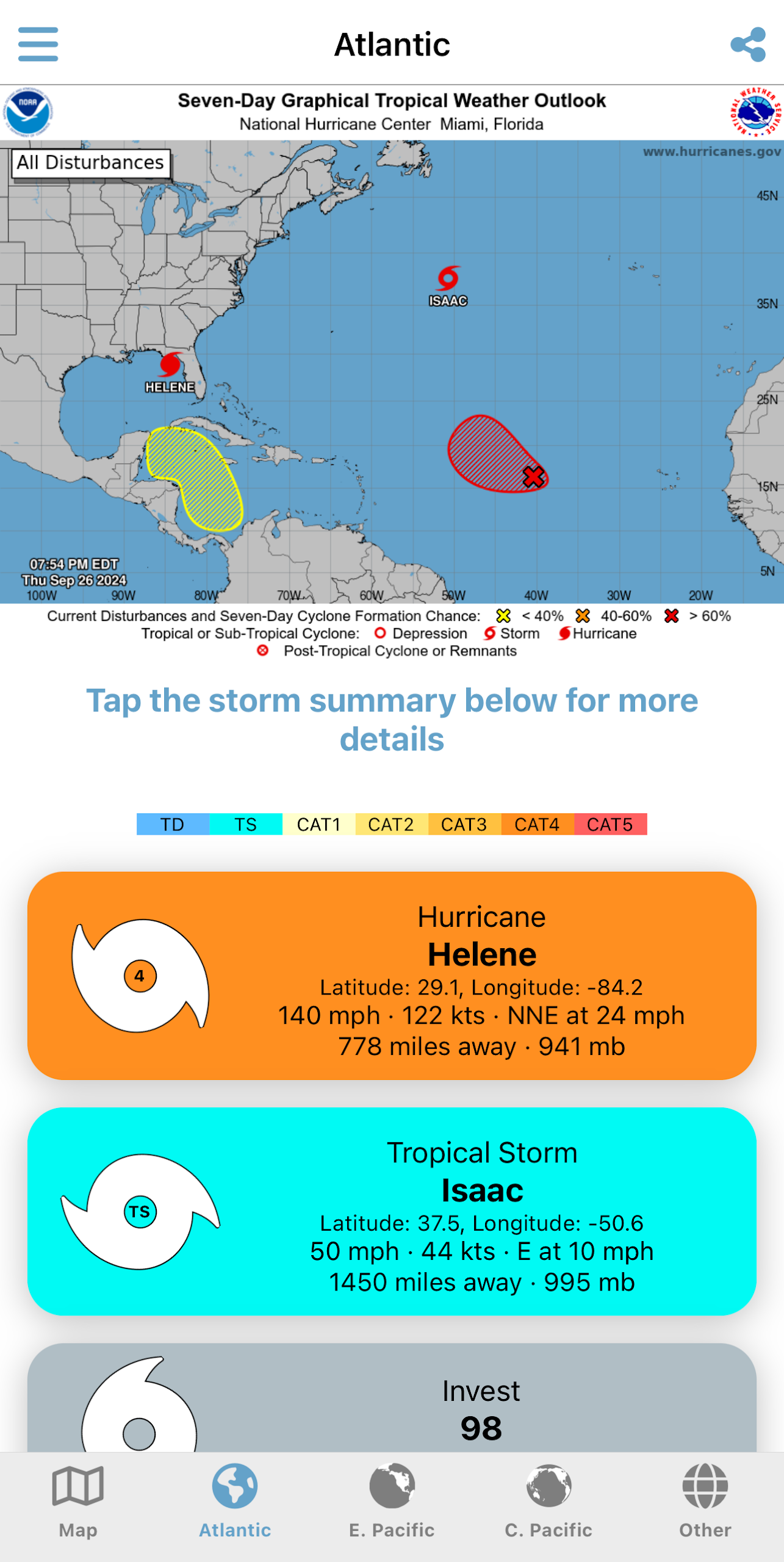
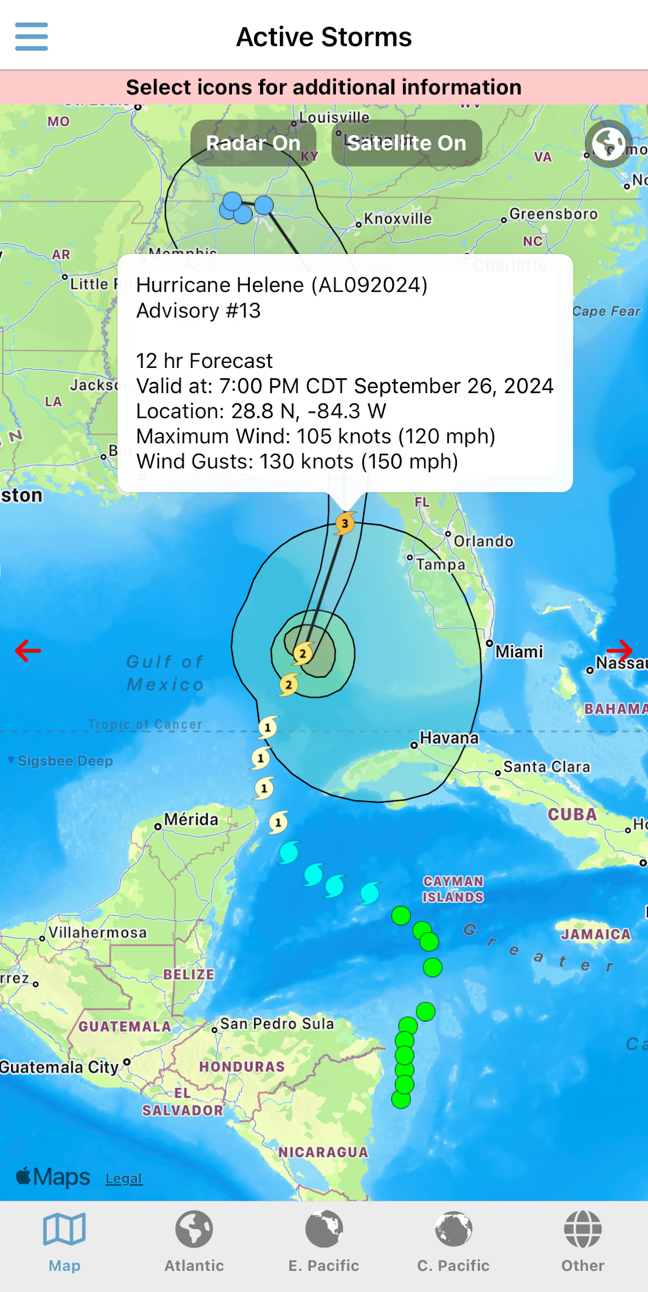
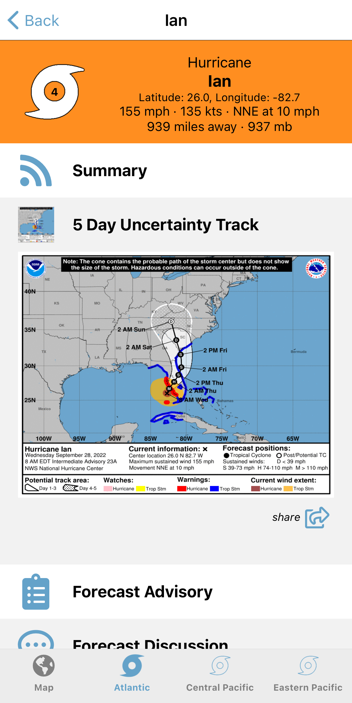
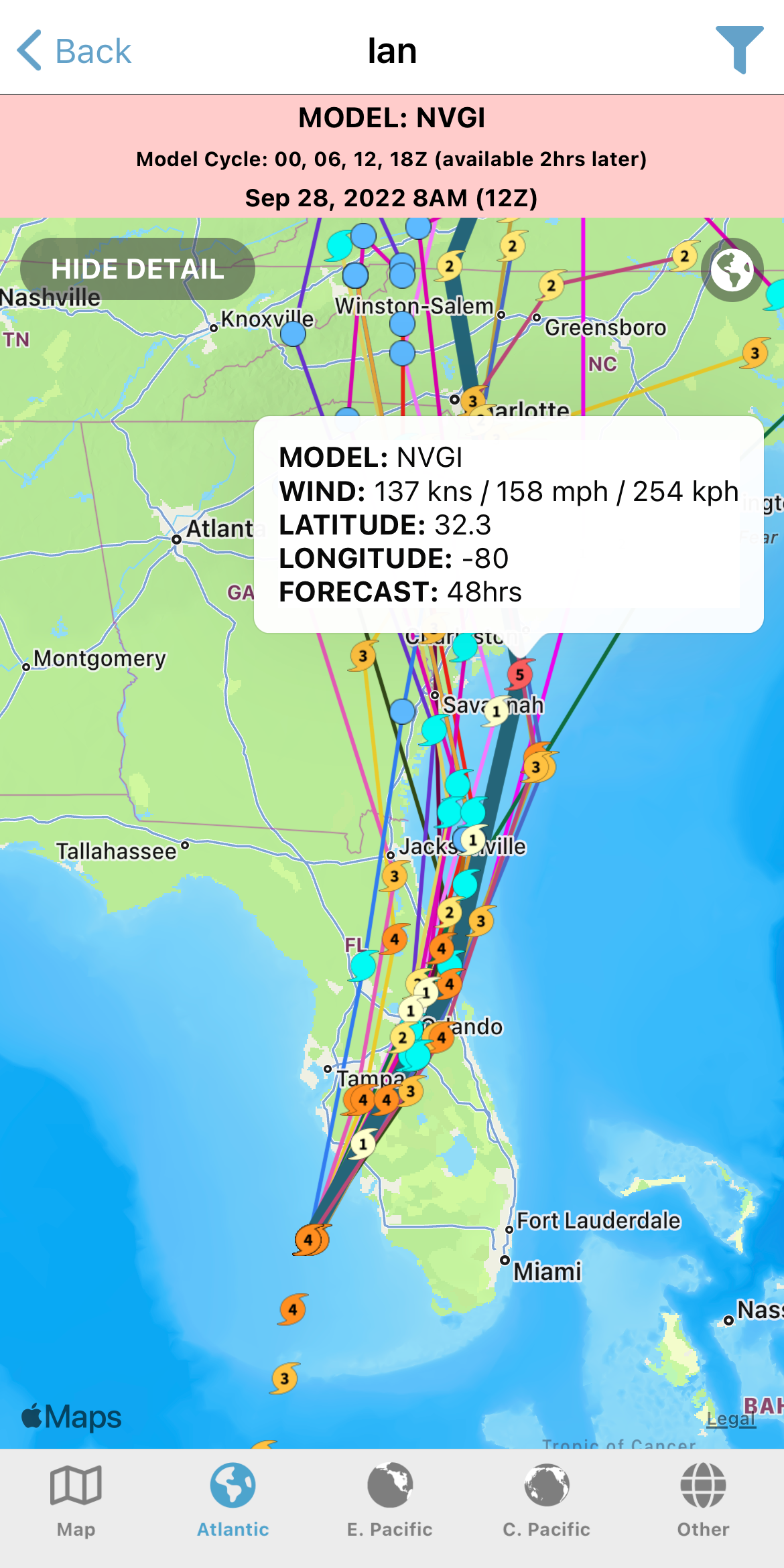
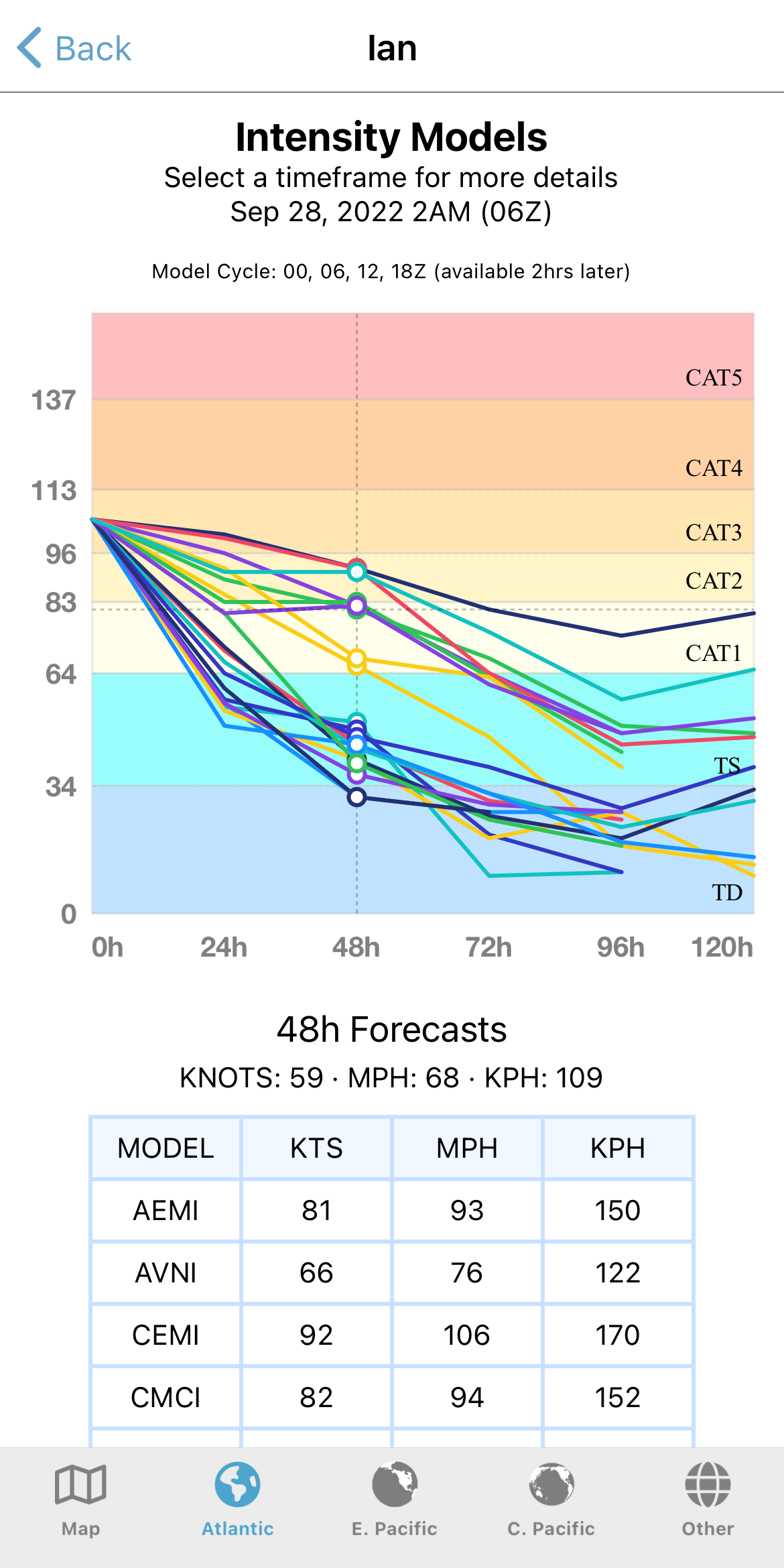
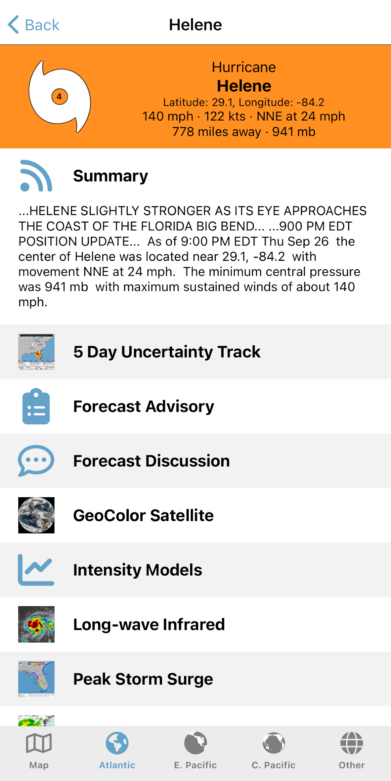
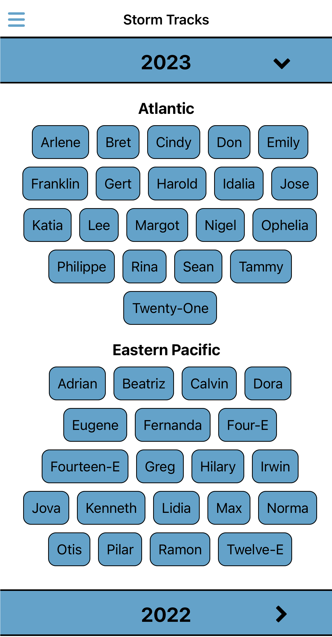
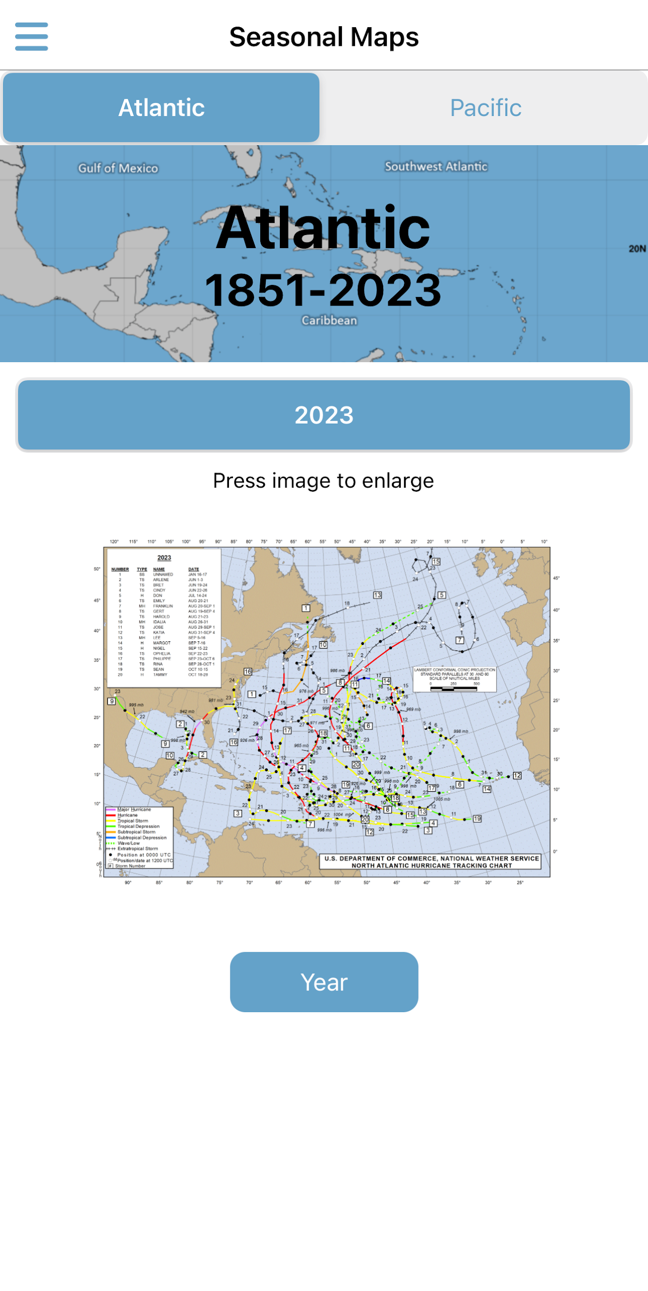
Tropical Hurricane Tracker delivers the latest insights into hurricanes, tropical storms, and disturbances across the Atlantic, Central Pacific, and Eastern Pacific regions.
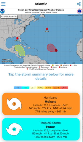
Many applications tend to be overly complex and filled with unnecessary information. In contrast, Tropical Hurricane Tracker provides a straightforward way to navigate through various data points, allowing users to easily access crucial information about these potentially hazardous storms.
At JPL Tech, we are dedicated to continuous learning and enhancement. We appreciate input that can aid in refining this app to better meet our users' needs. Our aim is to design an application that is accessible for everyone, particularly those living in areas prone to hurricanes. Should you have any suggestions for new features, we welcome your thoughts directly within the app.
Features Include:
• Regional Hurricane Tracking Maps (Central Pacific, Eastern North Pacific, Atlantic)
• NOAA Forecasts
• Interactive Global Map
• Push Notifications
• Ensemble Models
• Historical Seasonal Maps
• Historical Storm Tracks
• Saffir-Simpson Scale
• Safety & Preparedness Information
Core Features
1. **Simplified Information**: Filters out redundant data, allowing users to quickly access key information such as storm location and intensity without being distracted by complex data.
2. **Accurate Regional Coverage**: Focuses on the Atlantic, Central Pacific, and Eastern Pacific, providing hurricane tracking maps for corresponding regions.
3. **Authoritative Data**: Integrates NOAA forecasts to ensure the reliability of storm trend predictions.
4. **Practical Features**: Includes an interactive global map, dynamic storm notifications, ensemble models, historical data, intensity scales, and safety guidelines.
User Experience
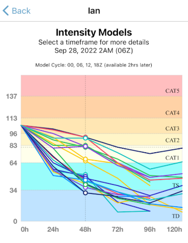
1. **Easy Operation**: The interface is intuitive, making switching maps and searching data easy, making it easy for beginners to use.
2. **Suggestions**: Submit new feature requests within the app, and the team will optimize to meet user needs.
3. **Easy Information**: Data is presented using charts and clear labels (such as color-coded storm intensity), making it accessible even to non-expert users.
Use Cases
1. **Residents in Hurricane Areas**: Check real-time storm updates and prepare for disasters (stock up on supplies and plan evacuations);
2. **Weather Enthusiasts**: Use historical data and ensemble models to study hurricane patterns;
3. **Emergency Departments**: Use real-time information to plan rescue operations, allocate resources, and improve disaster response efficiency.
Key Questions & Answers
1. **Q: What is this app mainly used for?**
A: It provides dynamic updates on hurricanes and tropical storms in the Atlantic, Central Pacific, and Eastern Pacific, integrating authoritative data and practical functions to help users stay informed about storms.
2. **Q: What are its core advantages?**
A: It filters redundant information, offering a simple and easy-to-use interface; it covers three key ocean areas and integrates authoritative NOAA forecasts; the data is presented in a visual format, making it easy for beginners to understand.
3. **Q: What are its practical functions?**
A: It includes regional tracking maps, an interactive global map, push notifications, ensemble models, historical storm data, the Saffir-Simpson Hurricane Scale, and safety guidelines.
4. **Q: Who is it suitable for?**
A: Residents of hurricane-prone areas, weather enthusiasts, and emergency management departments.
- Version3.21.2
- UpdateOct 19, 2026
- DeveloperJPL Technical Solutions
- CategoryWeather
- Requires AndroidAndroid 7.0+
- Downloads267K+
- Package Namecom.jpltech.hurricanetracker
- Signaturee6e5c9a3ab0c15af12f133cdfecc4d43
- Available on
- ReportFlag as inappropriate
-
NameSizeDownload
-
35.93 MB
-
73.75 MB
-
57.67 MB















Accurate storm tracking
Easy-to-use interface
Timely updates from reliable sources
Customizable notifications by region and storm
Clear and concise graphics for data presentation
Access to multiple prediction models
Intuitive navigation with comprehensive information
Unobtrusive advertisements with ad-free option available
Great developer support and responsiveness
MAP track not updating consistently
Storms may disappear until app rebooted
Annoying initial push notifications configuration
Bugs causing freezing when accessing certain features
Lack of clarity on the storm prediction source reliability
Intrusive ads in the free version
Limited international coverage (e.g., Western Pacific storms)
Swiping down to close not always functioning properly