
RiverApp - River levels - River conditions & alerts
Discover real-time river levels & flows, essential for outdoor sports enthusiasts & safety monitoring across the globe.

- 5.12.4 Version
- 1.6 Score
- 259K+ Downloads
- In-app purchases License
- 3+ Content Rating

INTRODUCTION
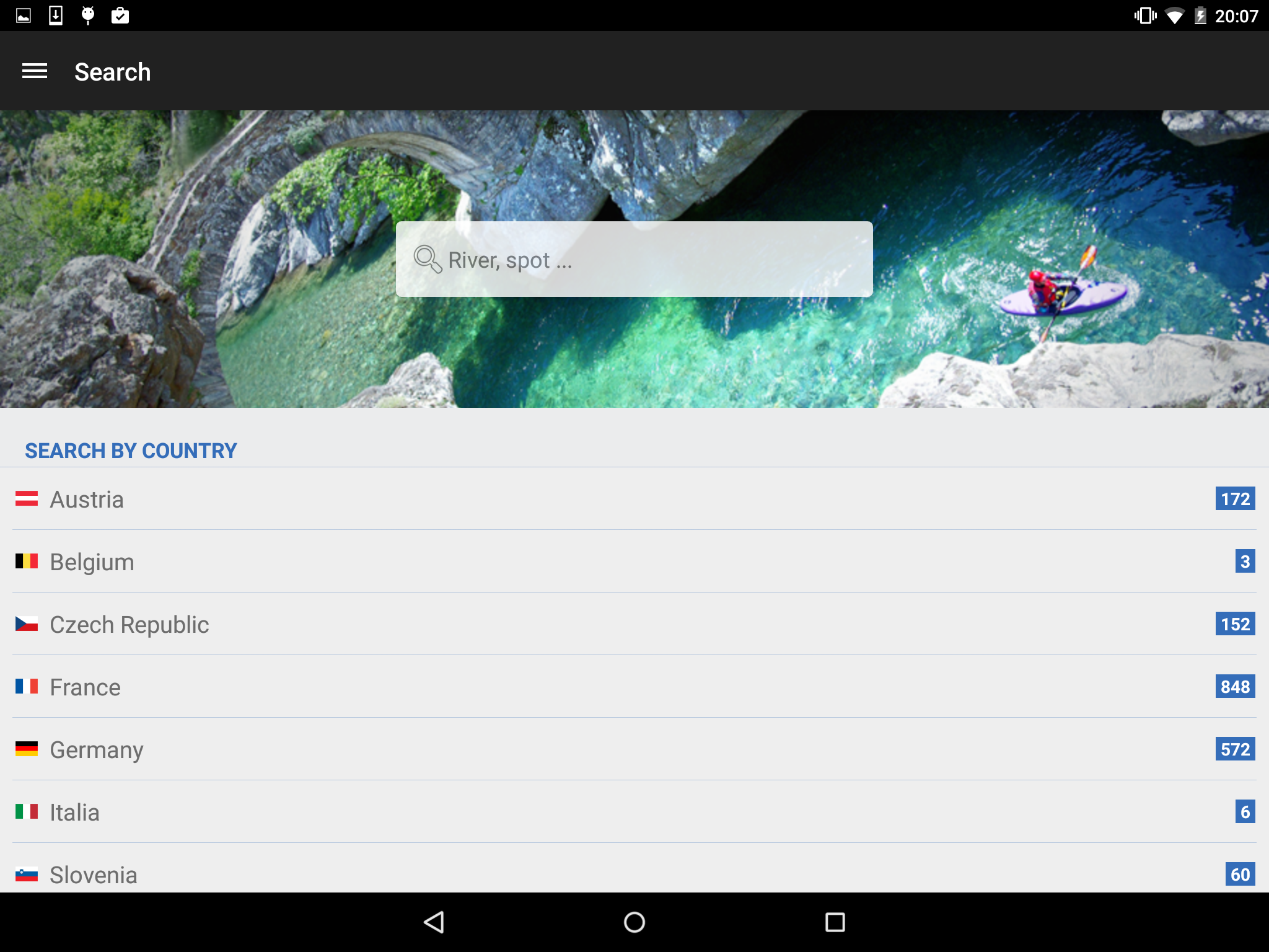
Access the most recent water levels and river flows for rivers in the United States and 20 other countries worldwide with ease.
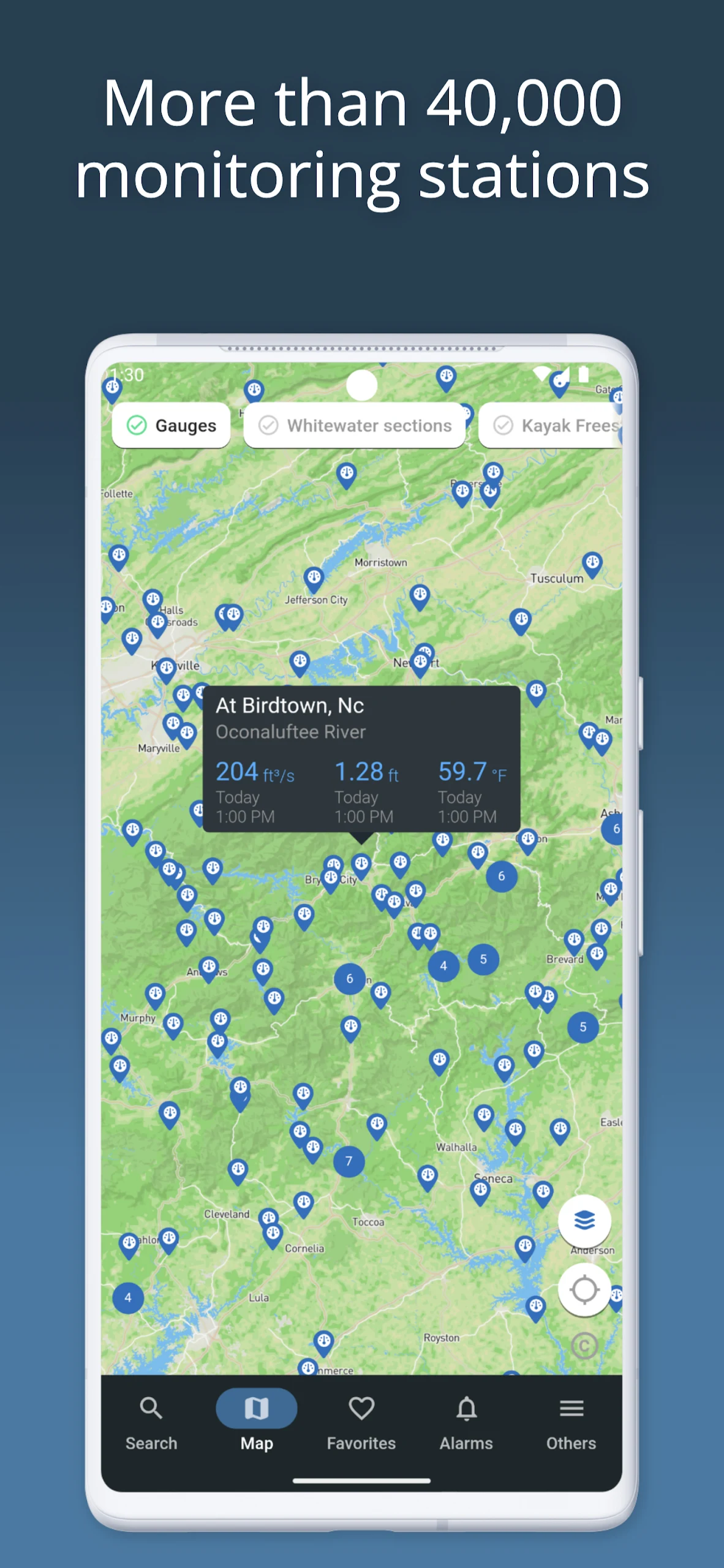
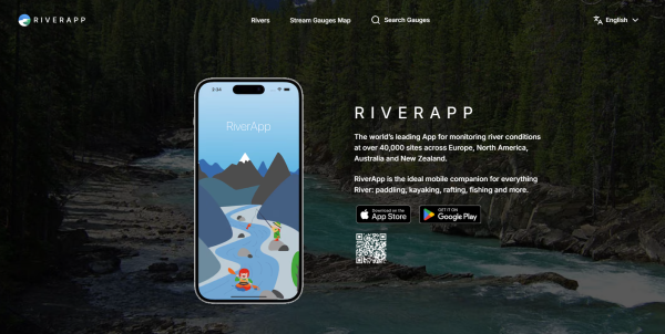
RiverApp is designed to provide data from the highest number of hydrometric stations globally, encompassing over 40,000 locations.
This application is perfect for engaging in various river-related sports or professional activities such as kayaking, canoeing, pack rafting, stand-up paddleboarding, fly fishing, river surfing, hydroelectric production, and irrigation.
It also serves as a valuable tool for tracking river conditions during flooding events.
FREE FEATURES:
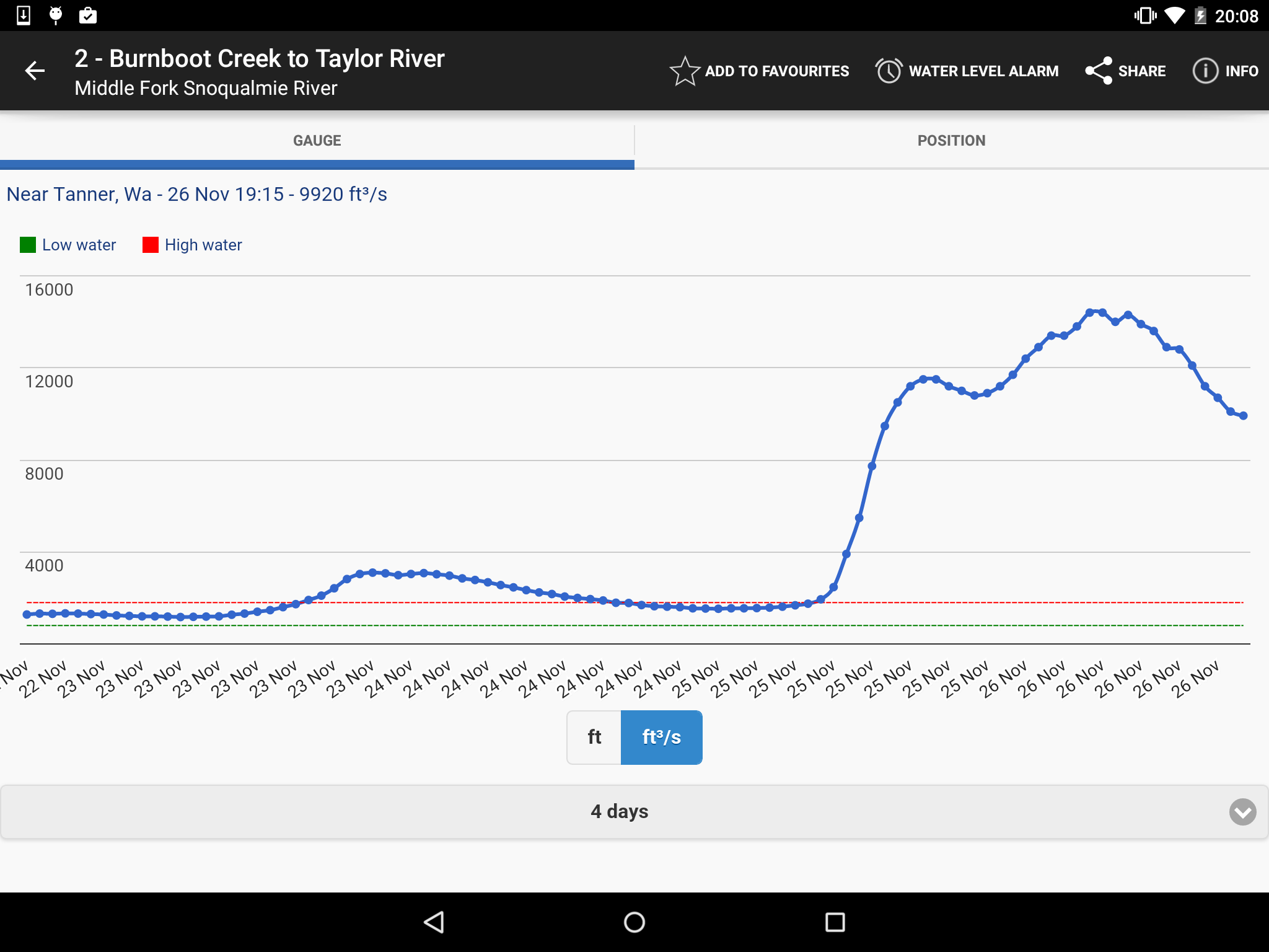
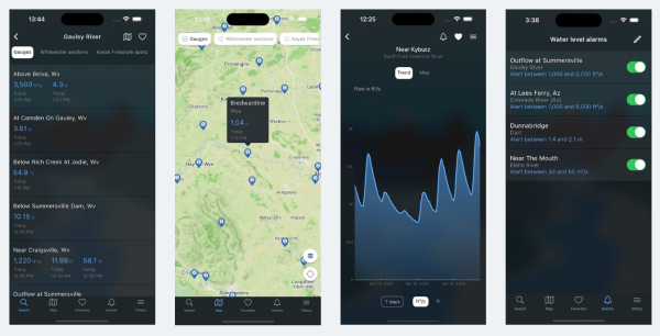
‣ Access current water levels and flows for more than 15,000 rivers across the US and internationally.
‣ Retrieve water temperature information.
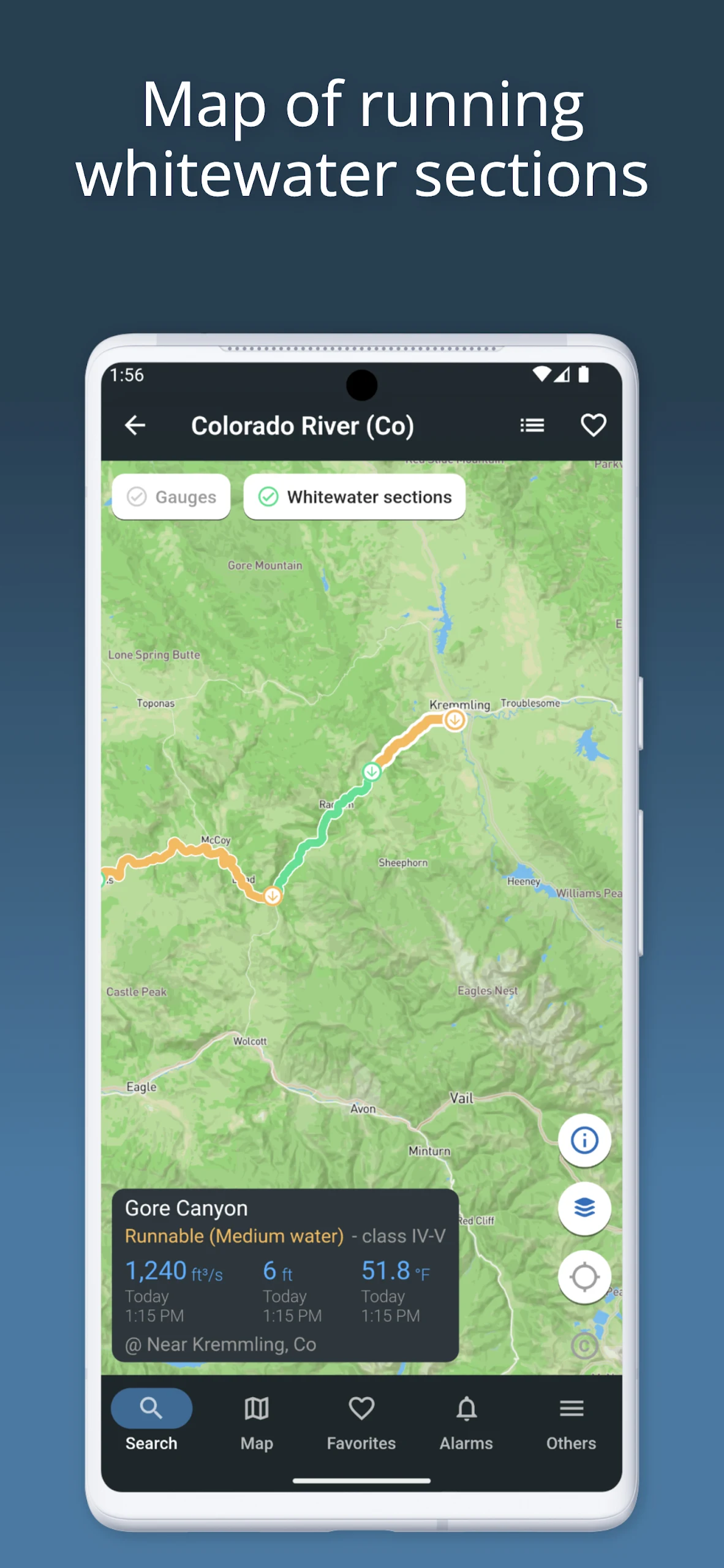
‣ View comprehensive maps showing hydrometric stations and whitewater areas.
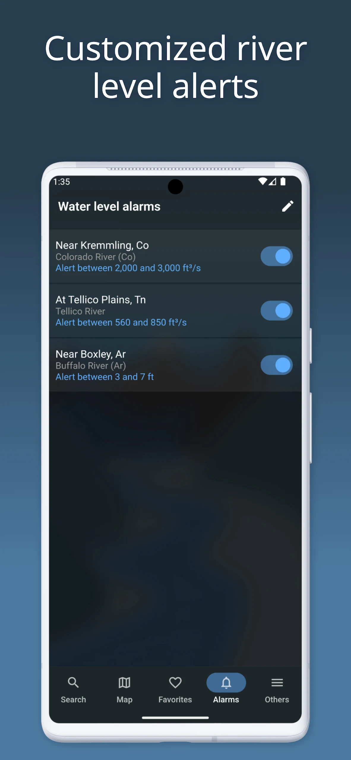
‣ Set up personalized alerts for each station once a specific threshold has been met.
‣ Bookmark stations or whitewater areas for quick access to the latest readings and conditions.
FREE FEATURES SPECIFIC TO WHITEWATER SPORTS:
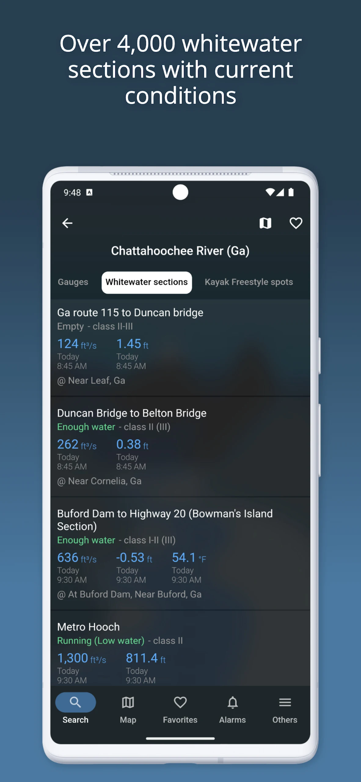
‣ Over 4,000 documented whitewater courses available.
‣ Visibility of navigability status based on water level or flow rates.
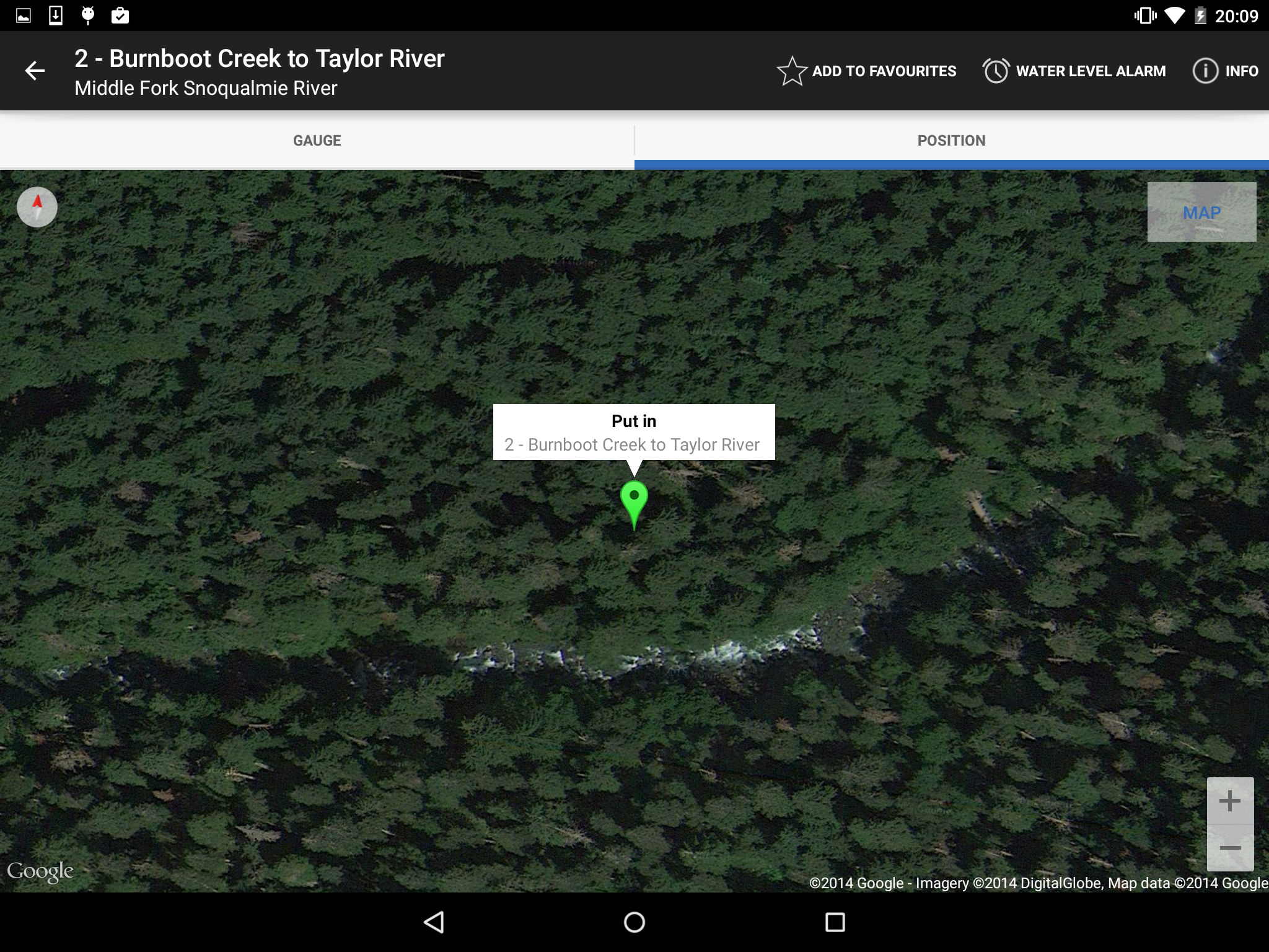
‣ Detailed mapping of courses with easy access to entry and exit points.
‣ Identification and sharing of hazards (including images) along routes.
‣ Information detailing difficulty ratings, lengths, and average gradients of whitewater sections.
‣ Community-driven additions and updates to whitewater courses by users.
ADDITIONAL FEATURES WITH "RIVERAPP PREMIUM":
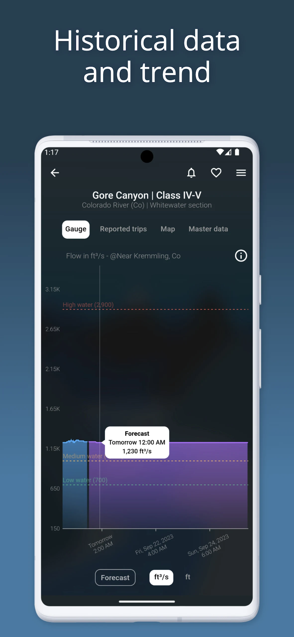
‣ Historical data on water levels and flows going back several years.
‣ Forecasts for flow rates or water levels at selected stations.
‣ Ability to view and compare satellite imagery on maps from multiple providers.
RiverApp and the associated organizations are not responsible for any inaccuracies or omissions in the information provided and will not be held accountable for any losses, injuries, or damages arising from its usage.
TARGET AUDIENCE
1. Water sports enthusiasts (kayaking, rafting, paddleboarding, fly fishing, river surfing, etc.)
2. Professionals working in river-related fields such as hydropower production and irrigation
3. Personnel who need to monitor river conditions during flood season
4. Users who need to access global river hydrological data
FAQs
1. **Which countries' river data does this app provide? **
It provides river data for the United States and 20 other countries worldwide, covering over 40,000 hydrographic stations, meeting international river information needs.
2. **What useful information can whitewater enthusiasts find in the app? **
It provides detailed information on over 4,000 whitewater routes, including navigation status, entrance and exit locations, hazards (with images), difficulty rating, length, and slope, and allows community-generated updates.
3. **Can I set water level alerts in the free version? **
Yes. The free version allows users to set personalized alerts for each hydrographic station, alerting users when water levels or flows reach preset thresholds.
4. **What features does the premium version offer over the free version? **
The premium version provides access to years of historical water level and flow data, water level/flow forecasts for selected stations, and the ability to view and compare satellite imagery from multiple providers on a map.
5. **What can I use this app to check while fishing? **
You can query the current water level, flow rate, and water temperature of your target river. This data can help you determine fish activity and enhance your fishing experience.
6. **Who is responsible if the app data is inaccurate?**
The app and its associated organizations are not responsible for any inaccuracies or omissions in the information, nor are they liable for any loss, injury, or damage resulting from the use of the app. Users are responsible for using the data at their own risk.
- Version5.12.4
- UpdateOct 10, 2026
- DeveloperFlorian Bessière
- CategoryWeather
- Requires AndroidAndroid 5.0+
- Downloads259K+
- Package Namede.android.riverapp
- Signature2e419c9f296d370d670a28170a2977c3
- Available on
- ReportFlag as inappropriate
-
NameSizeDownload
-
33.09 MB
-
33.77 MB
-
33.74 MB










Easy access to local river gauges
Customizable flood alarm notifications
Premium version offers great value for features
User-friendly interface and quick updates
Ability to track multiple river sources
Excellent for canoeing, fishing, and planning trips
Responsive developer for user suggestions and fixes
Good for monitoring historical water levels
Fun and informative for environmental planners
Missing Northern Ireland coverage
Slow alerts for flood warnings
Inconsistent data updates across various regions
Premium subscriptions may not provide complete data
Difficulties in setting specific alarm types for different situations
Lack of essential information like river temperature and flood stage levels
Recent updates causing crashes or bugs
Difficult navigation with unclear user interface elements
Missing functionality for mapping and saving river routes