
Storm Team 12 - Weather updates & alerts
Stay ahead of the storm with high-res radar, forecasts & severe weather alerts tailored for your location
- 5.17.706 Version
- 3.2 Score
- 176K+ Downloads
- Free License
- 3+ Content Rating

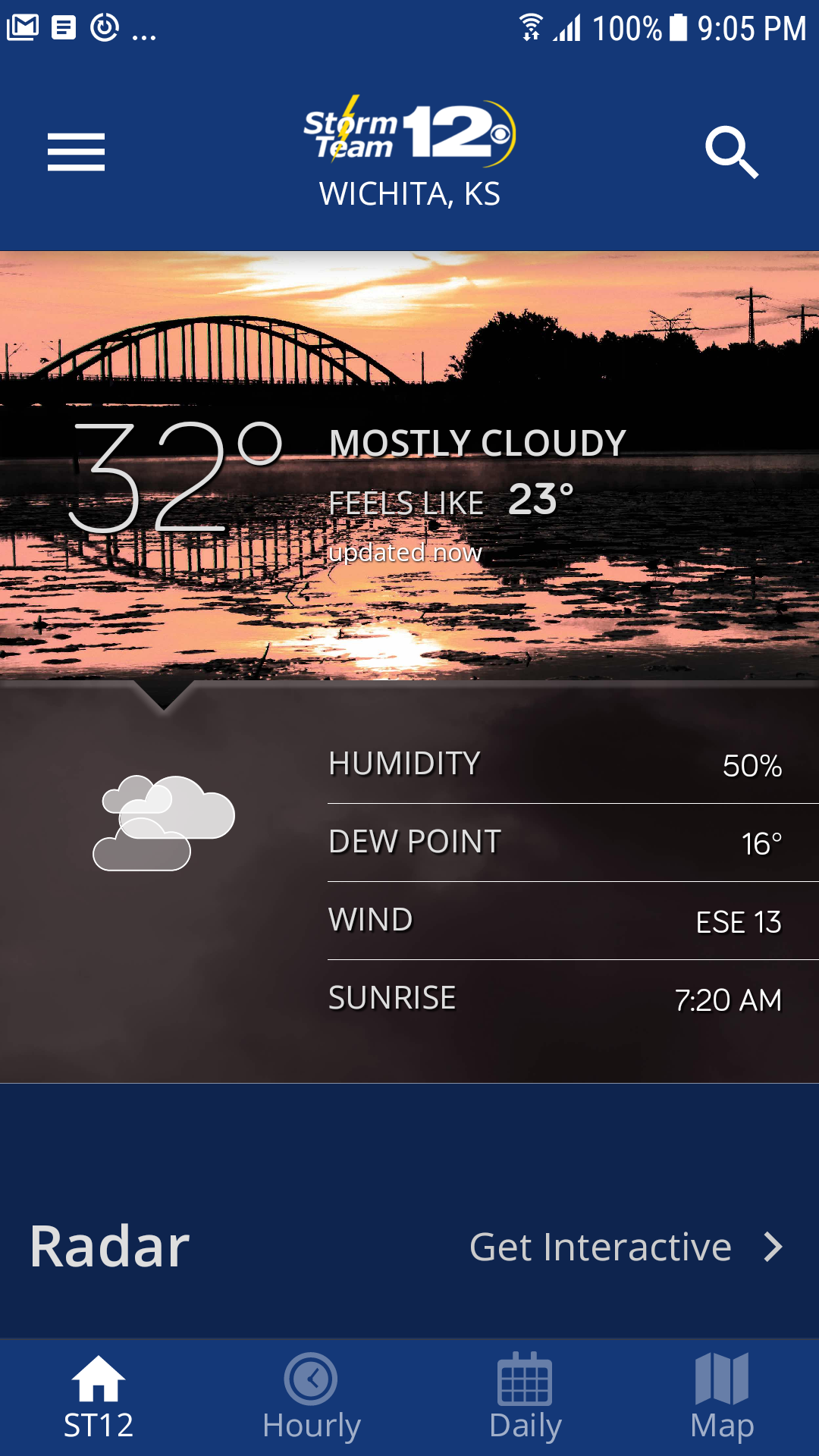
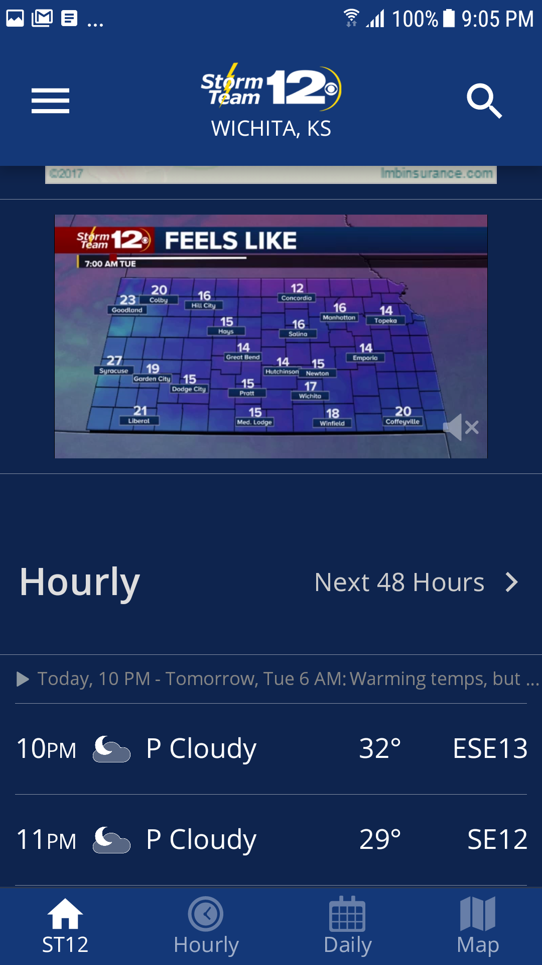
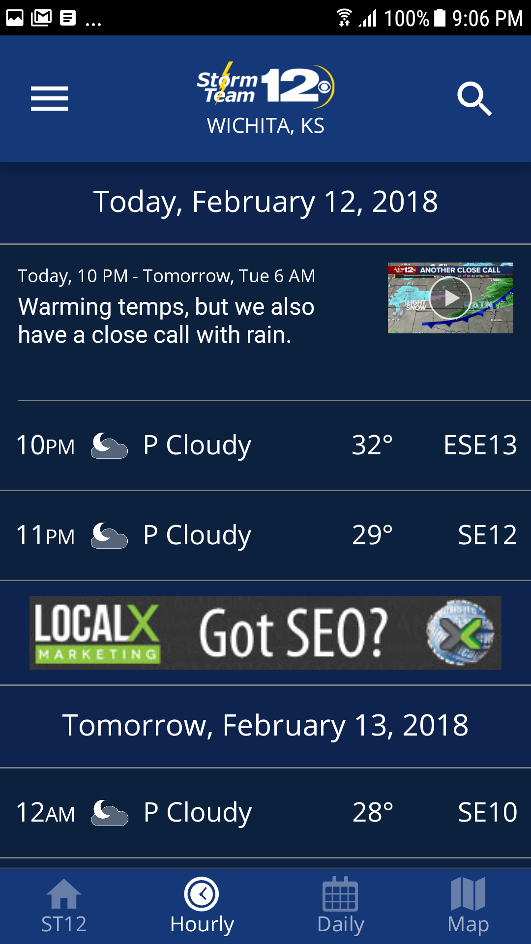
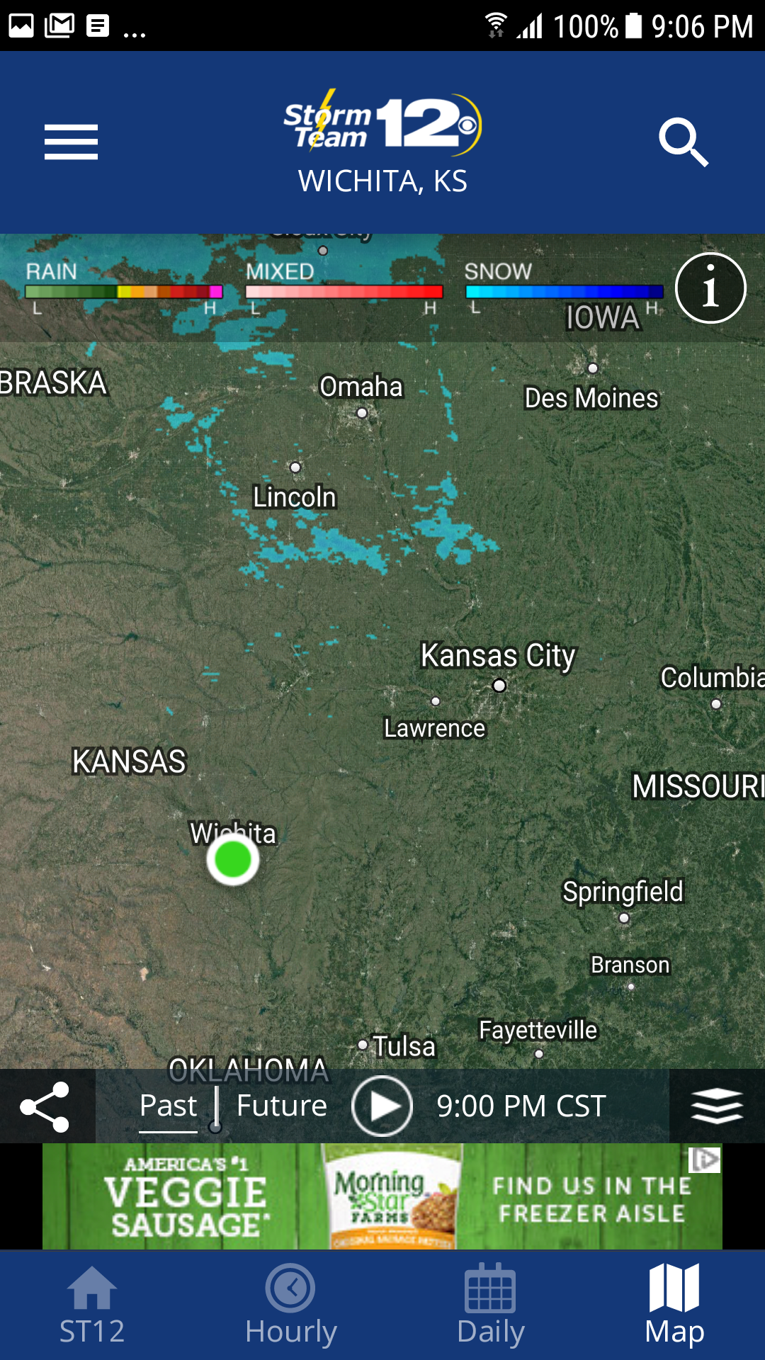
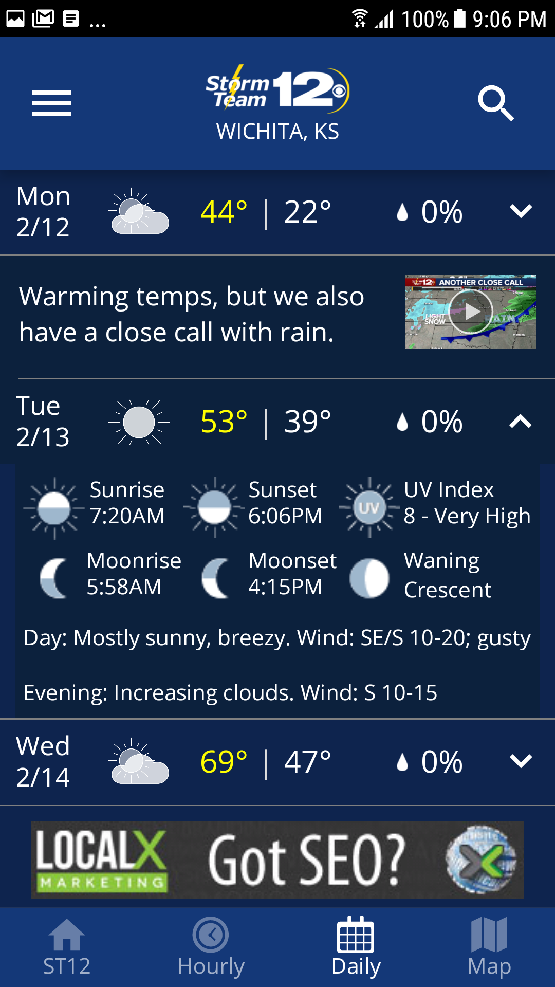
The KWCH Weather Application provides you with the most recent weather updates for our broadcast area.
The KWCH Mobile Weather App features:
* Access to tailored content for our mobile audience
* 250-meter radar, offering the finest resolution available
* Future radar to track the path of severe weather
* High-quality satellite cloud imagery
* Current weather information refreshed multiple times each hour
* Daily and hourly forecasts updated every hour based on our computer models
* The option to add and store your preferred locations
* A fully integrated GPS for real-time location awareness
* Severe weather notifications from the National Weather Service
* Opt-in push notifications to ensure your safety during severe weather conditions
User Guide:

1. **Quick Start Guide to Core Functions**:
- **View Weather:** Open the app for automatic location updates (or manually add preferred locations) to get hourly real-time weather updates and hourly/daily forecasts. Supports 250-meter high-precision radar, future radar tracking, and satellite cloud imagery.
- **Warning Receiver:** Enable push notifications to receive severe weather warnings issued by the National Meteorological Administration, ensuring your safety.
- **Customized Experience:** Utilize the mobile-optimized, streamlined interface to quickly check weather information needed for commuting and outdoor activities.
2. **Key Operations**:
- **Location Management:** Manually add/save frequently used locations and switch between different areas to view weather.
- **Warning Settings:** Enable push notifications within the app to receive proactive alerts for severe weather.
- **Data Viewing:** Click the radar/satellite cloud imagery module to view real-time meteorological data and future weather path forecasts.
FAQs:
Q: What areas does the KWCH Weather app cover with weather updates?
A: The app primarily provides the latest weather updates within its broadcast coverage area. Similar apps like QCWeather typically serve specific metropolitan areas (such as the Quad Cities area comprising Davenport and Moline). Presumably, its coverage area is the KWCH TV station's signal coverage area.
Q: What exactly does "tailored content for mobile users" mean?
A: This refers to content presentation optimized for mobile devices like phones. Examples include a simple interface adapted for small screens, touch-friendly control buttons, lightweight data loading to save data, and quick query features suitable for commuting and outings, allowing users to efficiently access weather information on the go.
Q: What are the advantages of 250-meter resolution radar? What functions can "Future Radar" achieve?
A: 250 meters is the current mainstream high-precision radar resolution. It can accurately capture the details of small-scale weather systems (such as localized thunderstorms and short-term heavy rainfall), and better reflects local weather variations than lower-resolution radar. Future radars will use radar echo extrapolation algorithms to predict the movement paths and development trends of severe weather events (such as heavy rain and hail), providing a time window for disaster prevention and mitigation.
Q: How often is the weather data used updated? Is the forecast accuracy guaranteed?
A: Currently, weather information is updated multiple times per hour, and daily and hourly forecasts are updated hourly based on computer models. Their accuracy relies on two key factors: first, real-time input of high-precision observation data such as 250-meter radar and high-quality satellite imagery; second, the integration of radar data with numerical forecast models, which optimizes the initial forecast field and improves the accuracy of short-term nowcasts.
Q: What role does satellite imagery play in practical applications?
A: High-quality satellite cloud images can intuitively present global or regional cloud distribution, cloud structure, and movement changes. Combined with radar data, they can achieve "macro + micro" weather monitoring - satellite cloud images determine the overall trend of large-scale weather systems (such as typhoons and fronts), while radar focuses on details such as local precipitation and severe convection, helping users fully understand the background of weather evolution.
- Version5.17.706
- UpdateOct 29, 2026
- DeveloperGray Media
- CategoryWeather
- Requires AndroidAndroid 9+
- Downloads176K+
- Package Namecom.kwch.android.weather
- Signatured664a27d35e570d59e7208474f571859
- Available on
- ReportFlag as inappropriate
-
NameSizeDownload
-
63.14 MB
-
71.31 MB
-
71.31 MB














Provides reliable weather updates
Offers detailed storm information
Easy-to-use interface with real-time data
Sends timely weather alerts and warnings
Allows customizable locations for tracking weather
Supports multiple cities for travel planning
Includes daily and hourly forecasts
Good radar visibility for storm tracking
User-friendly navigation without complicated features
Frequent and intrusive advertisements
App often freezes or becomes unresponsive
Inconsistent notification delivery and update timing
Lack of customization options for alerts and widgets
Difficulties with viewing and interpreting radar maps
Audio from ads can disrupt quiet environments
Daily and hourly forecasts do not always match
Updates can diminish app performance rather than improve it
Important features like dew point missing in some updates