SwitzerlandMobility - Outdoor route planner & navigator
Explore stunning Swiss routes & plan adventures effortlessly, all while staying safe with up-to-date navigation features.

- 5.0.0 Version
- 3.8 Score
- 530K+ Downloads
- Free License
- 3+ Content Rating

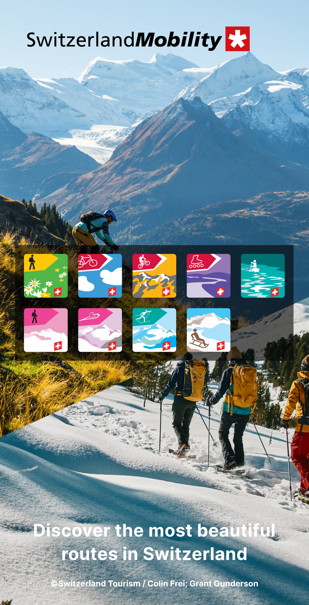
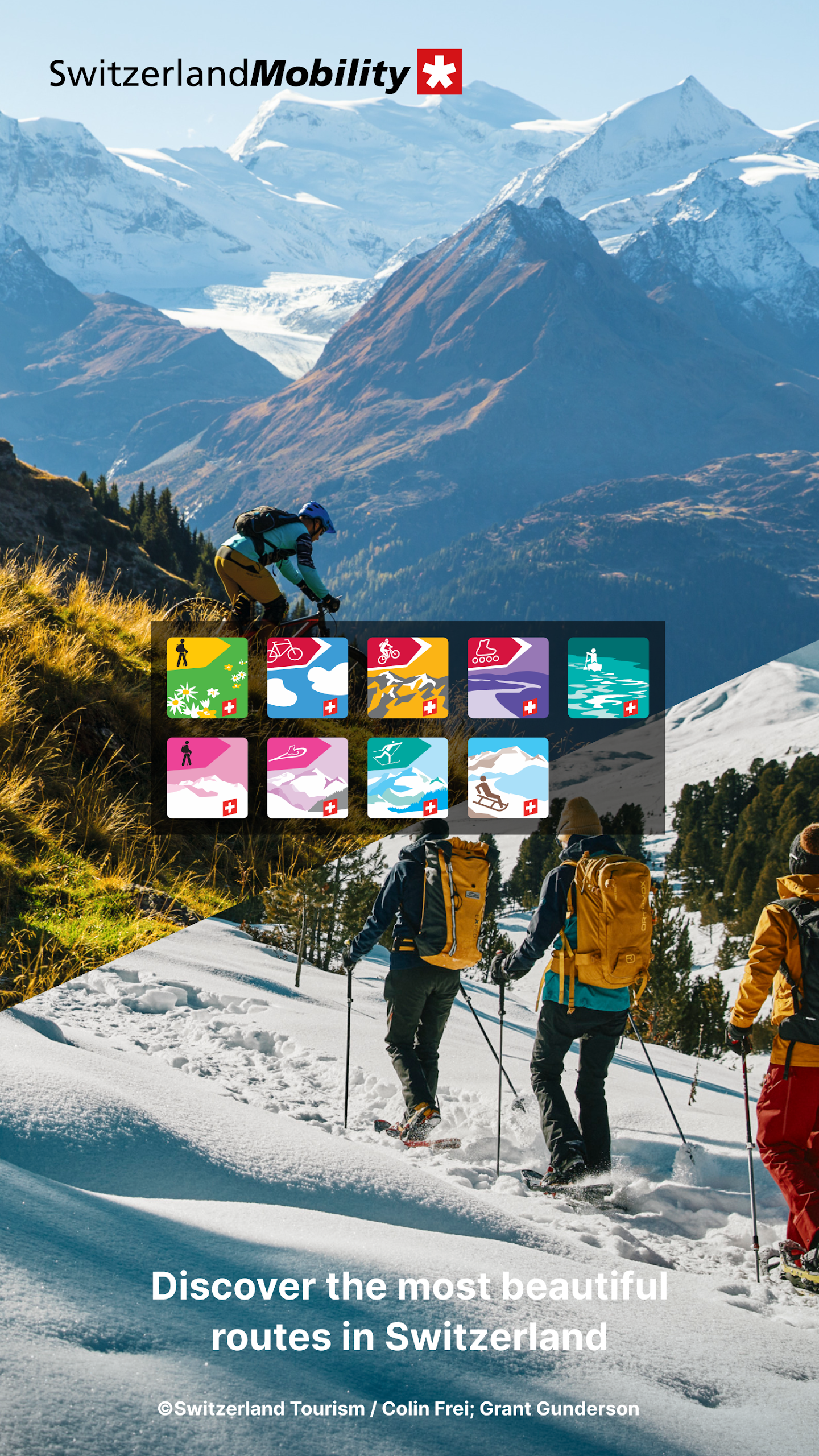
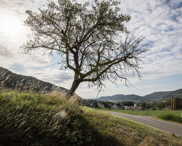
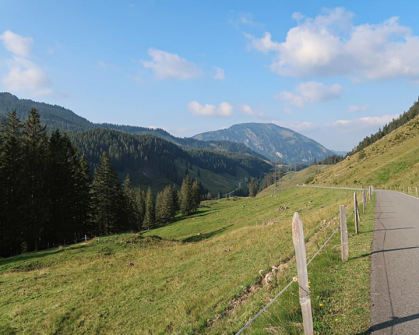
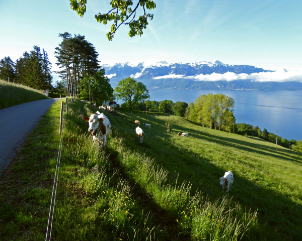
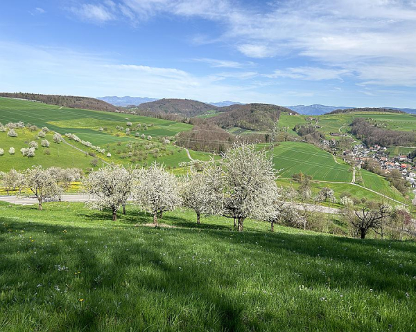
Switzerland, a haven for outdoor enthusiasts, is renowned for its breathtaking landscapes that are perfect for exploration on foot. With an extensive network of trails winding through majestic mountains, serene lakes, and lush forests, it's no wonder that hiking is a beloved activity here. SwitzerlandMobility serves as an excellent resource for anyone looking to embark on a memorable trail adventure in this Alpine paradise.
SwitzerlandMobility is not just a platform; it's a comprehensive guide to the best trails across the country. Available both online and as a free app, it's designed to make planning your outdoor excursions a breeze. Whether you're a seasoned hiker or a beginner taking your first steps on the trail, SwitzerlandMobility has something for everyone.
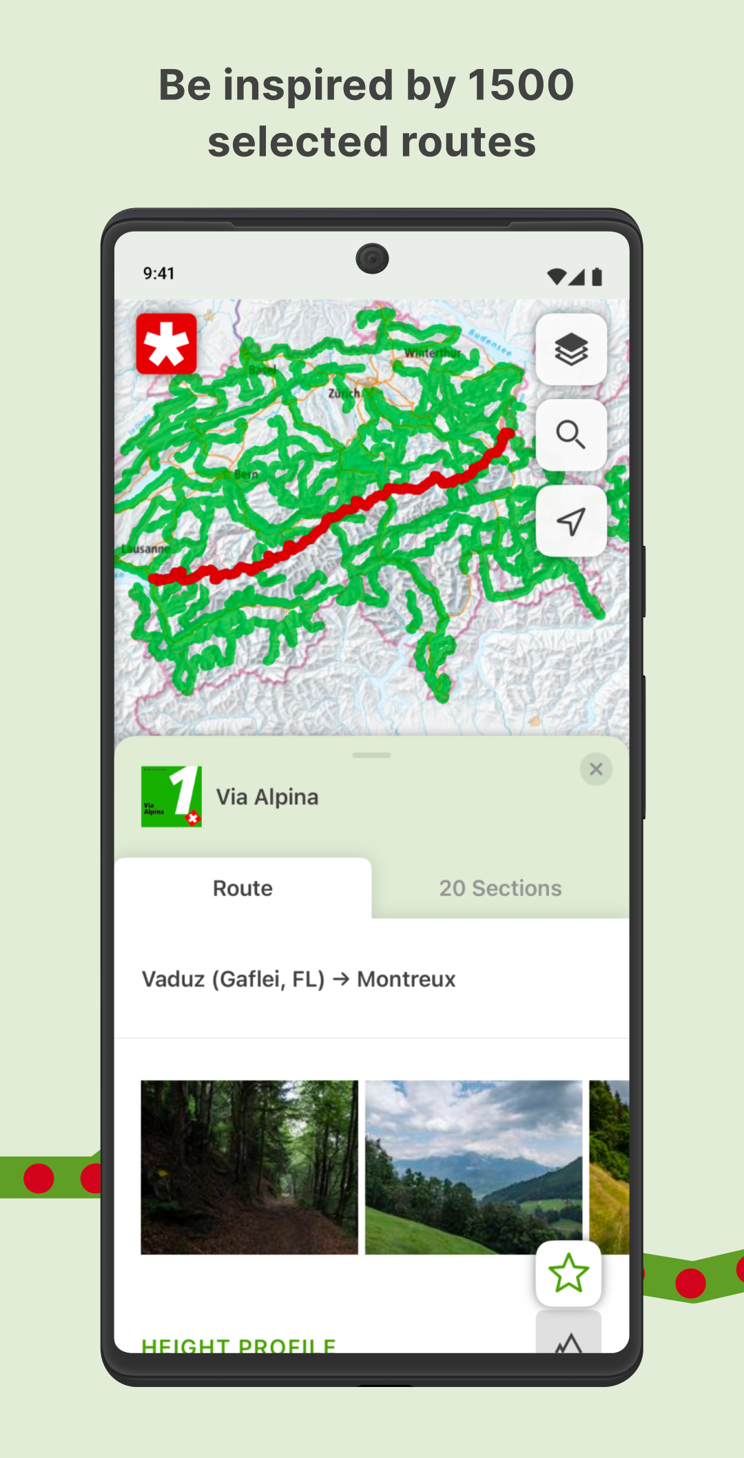
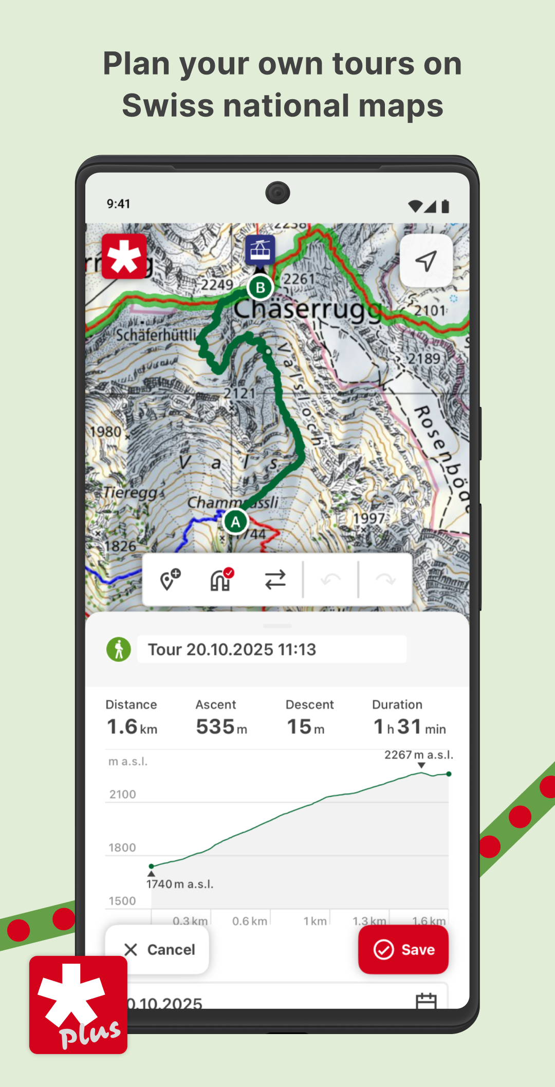
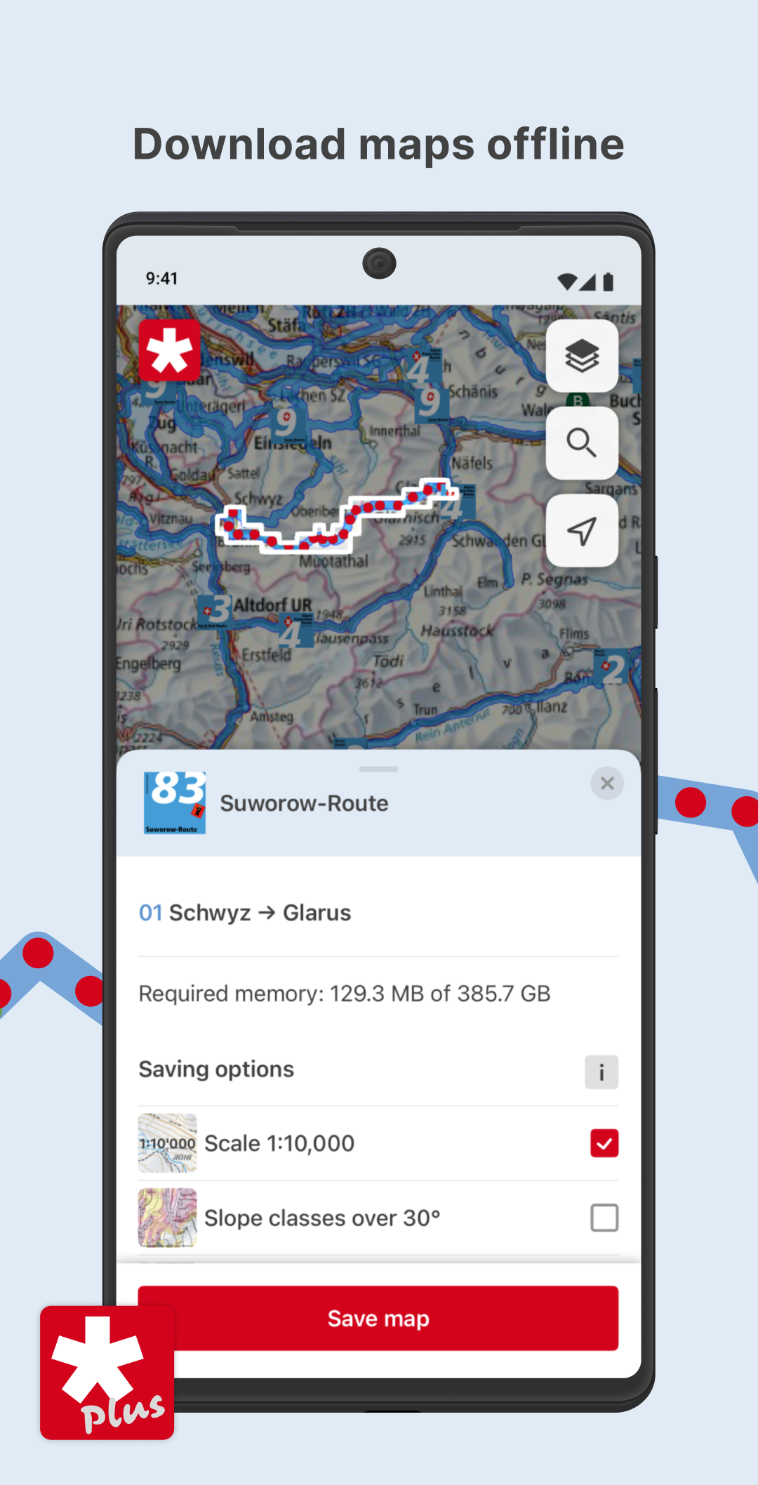
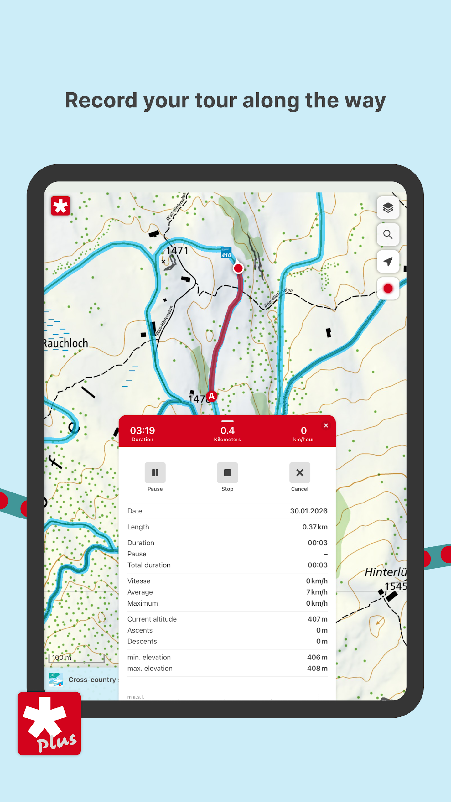
The free SwitzerlandMobility app is the perfect tool for outdoor lovers, whether it's summer or winter. It allows you to access all the features of SwitzerlandMobility on the go. You can search for trails, view maps, and get directions right from your smartphone. The app also has a GPS function, which can be extremely useful when you're out on the trail, ensuring that you don't get lost.
Upcoming Routes in 2025
In summer 2025, SwitzerlandMobility is set to launch 25 new routes, adding even more excitement to the already extensive trail network. This year, in addition to numerous exciting day trips, multi - day routes will be available to accommodate all athletic disciplines. Whether you want to spend a day exploring a nearby area or embark on a multi - day hiking expedition, there will be options to suit your needs.
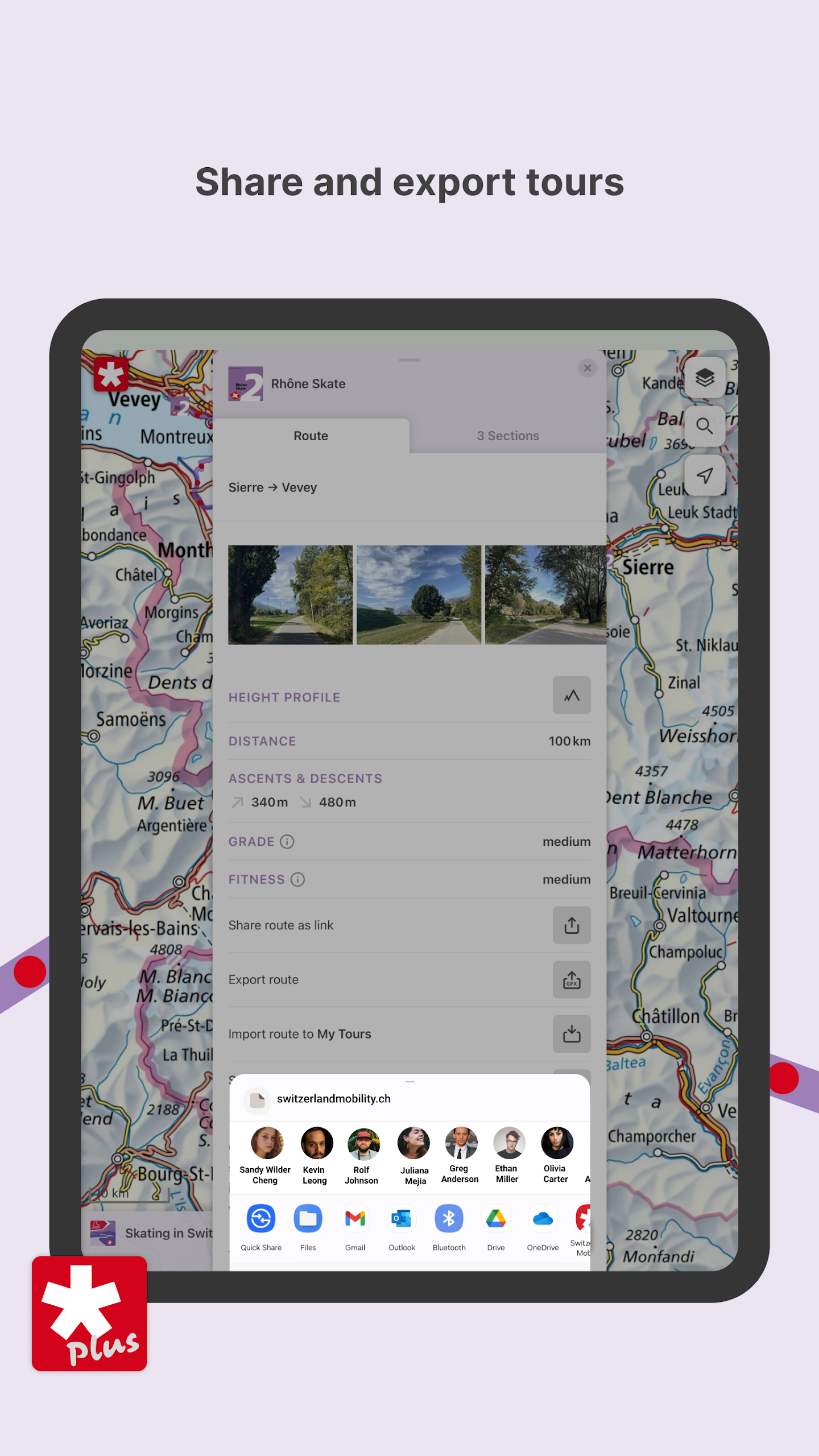
Explore the benefits and extra features of SwitzerlandMobility Plus further.
Our team
We can’t move mountains, but we can show you the way over them.
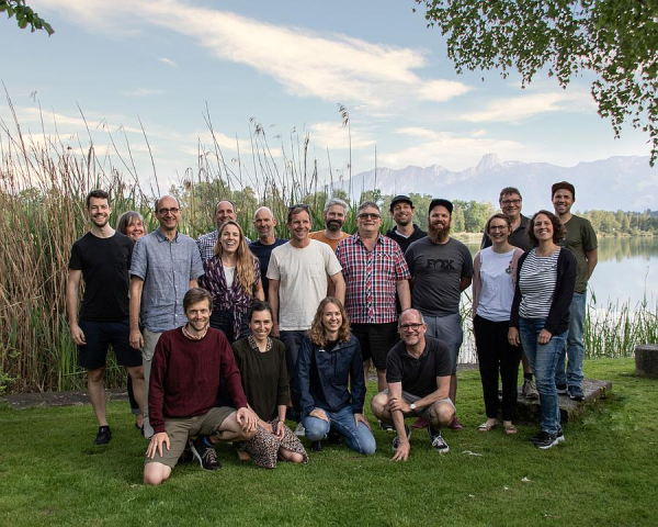
With dedication and a great deal of passion, our team ensure that you can experience Switzerland’s most beautiful routes.
21 people currently work towards this goal in the following areas: web and app development, route information and additional offers, networking and partnerships, cantonal support, offices for recreational cycling and mountain biking, communication, customer support, geodata, IT, accounting, the general secretariat and the slowUp management.
SwitzerlandMobility is the product of a love for cycling. We are out and about on our routes in our own leisure time and build personal experiences into the development of SwitzerlandMobility.
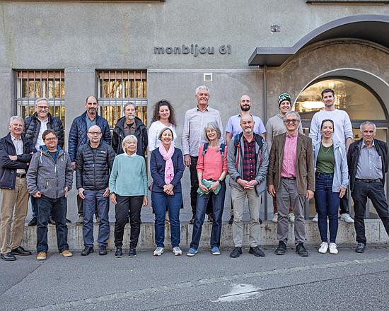
The foundation bodies
SwitzerlandMobility is a not-for-profit foundation under private law. Its office is in Bern.
Councillor of States Stefan Engler is the president of the SwitzerlandMobility Foundation.
The Foundation Board is made up of the following organisations:
SwitzerlandMobility Marketing Group, Procap, Loipen Schweiz, SwissCanoe, SBB, Swisstopo, Switzerland Tourism, PostBus Switzerland, Swiss Touring Club, Pro Velo Switzerland, VeloSuisse, Swiss Alpine Club, Swiss Tourism Federation, Swiss Cycling, Swiss Hiking Federation, Federal Office for Spatial Development (ARE), Swiss Council for Accident Prevention (BFU), Association of Public Transport, Federal Roads Office (FEDRO), Bau- und Planungsdirektorenkonferenz (construction and planning directors’ conference), Swiss Parks Network and a cantonal representative, as well as a representative of the Liechtenstein National Administration.
The foundation committee comprises the following representatives:
Silvio Ciccone, SBB
André Hefti, Switzerland Tourism
Michael Roschi, Swiss Hiking Federation
Dr. Ulrich Seewer, Federal Office for Spatial Development (ARE)
Stefan Studer, Canton of Bern civil engineering office, representing the Bau- und Planungsdirektorenkonferenz (BPUK)
Martin Urwyler, Federal Roads Office (FEDRO)
Volunteer photographers
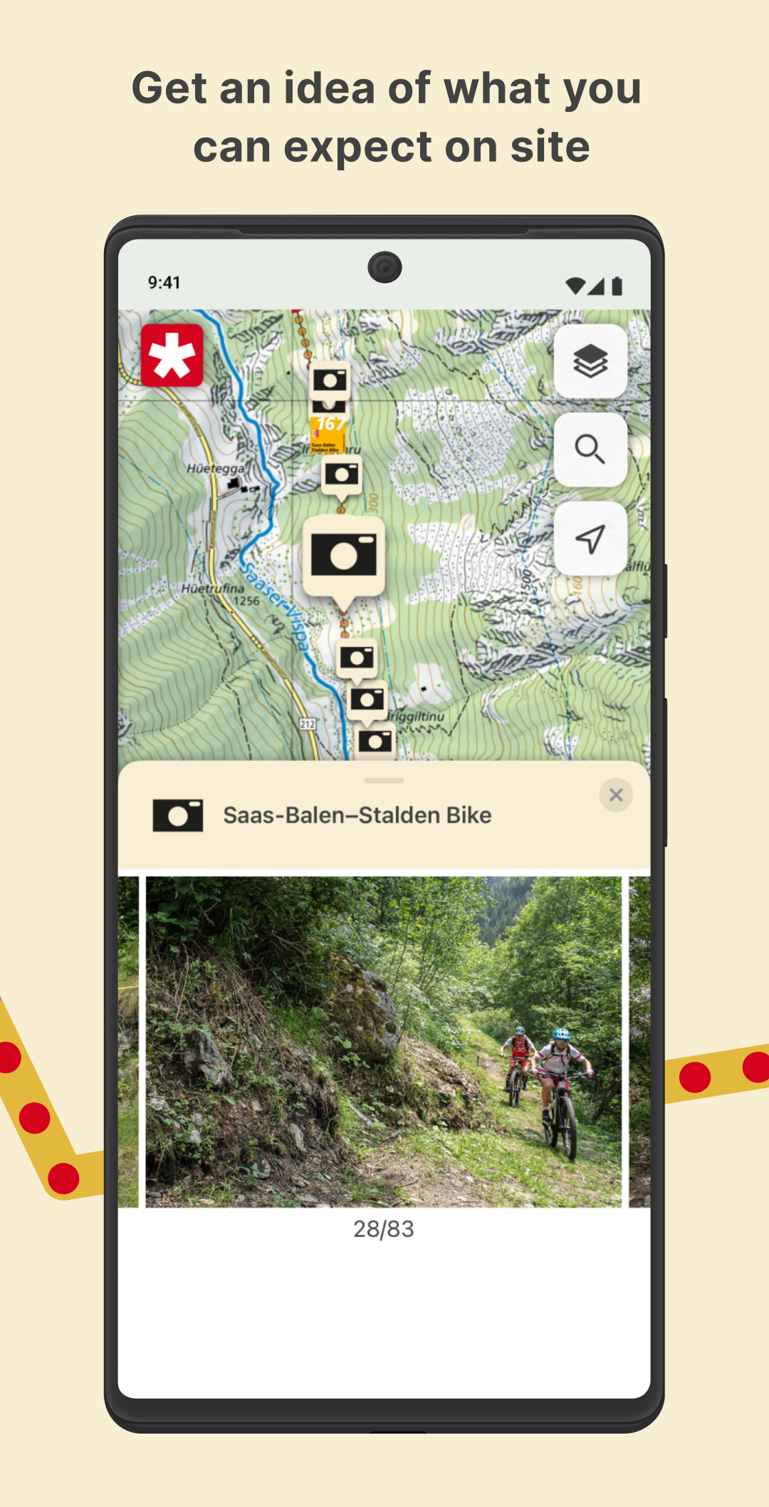
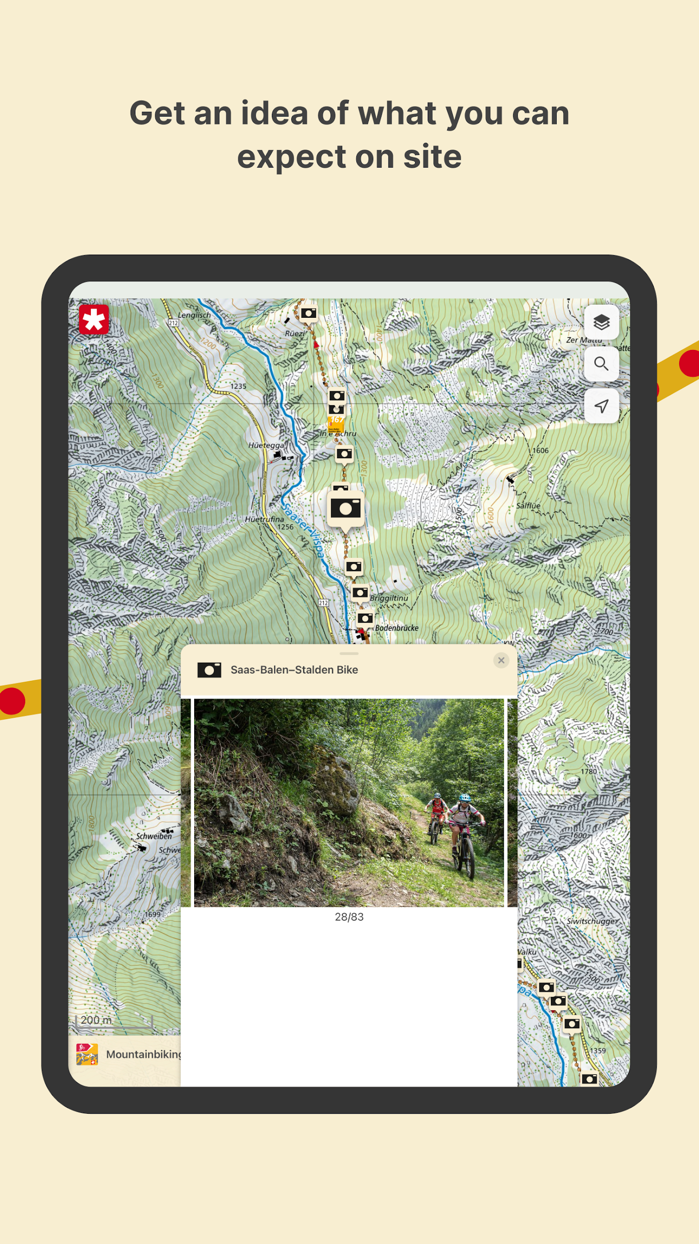
Did you know that there is a photo for every 137 metres on SwitzerlandMobility routes?
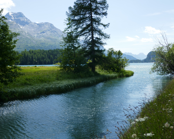
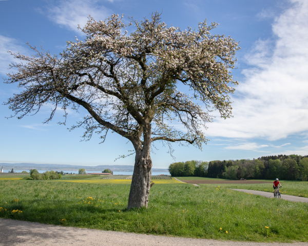
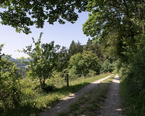
Over 110,000 photos in total illustrate our routes. The detailed photographic reports give you an idea of what to expect at the site before you even leave the house.
This is only possible thanks to the dedication of around 40 volunteer photographers. They capture the most beautiful moments on the routes for us – with a professional eye and a passion for detail.
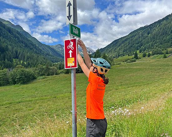
Rider team
On the wrong track? Not on SwitzerlandMobility routes.
On behalf of the Federal Roads Office (FEDRO) and the cantons, our rider team checks the signage of cycling and mountain biking routes. Any problems are reported and fixed by the responsible cantonal offices and municipalities.
This means that we hopefully won’t miss any missing signs. If you do still notice a problem with the signage, please report it using our contact form.
PS: We’re pleased that so many people are interested in helping us, but we currently have enough volunteer photographers and riders.
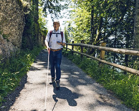
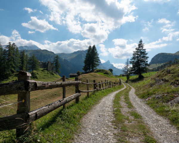
Hiking in Switzerland
SwitzerlandMobility supports a wide variety of barrier-free routes. Due to the partnership with Procap Switzerland, people with disabilities have the opportunity to pursue their favourite activities on numerous barrier-free routes. These are designed without substantial natural or structural obstacles and enable people depending on a wheelchair as well as the blind or visually impaired to explore new routes and enjoy the outdoors. The routes are also suitable for families with baby carriages.
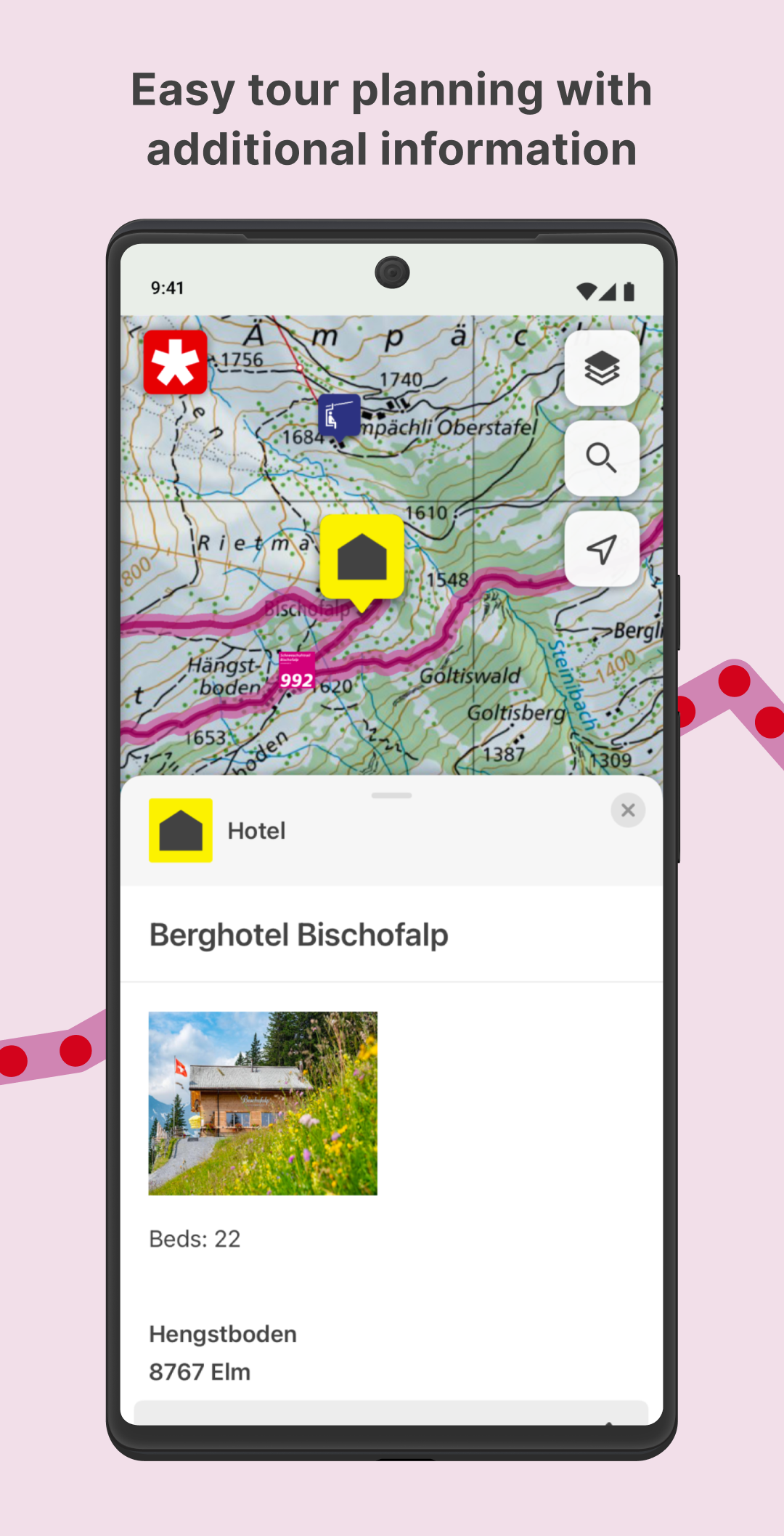
A detailed description and important additional information for people with disabilities are available for every route. The information provides specifics regarding barrier-free travel to the destination and handicapped-accessible toilets, potential dangers, information regarding inclines and declines and the condition of the route. The barrier-free routes are supported by Procap Switzerland, SwitzerlandMobility, the Swiss Hiking Federation, and the Swiss cantons.
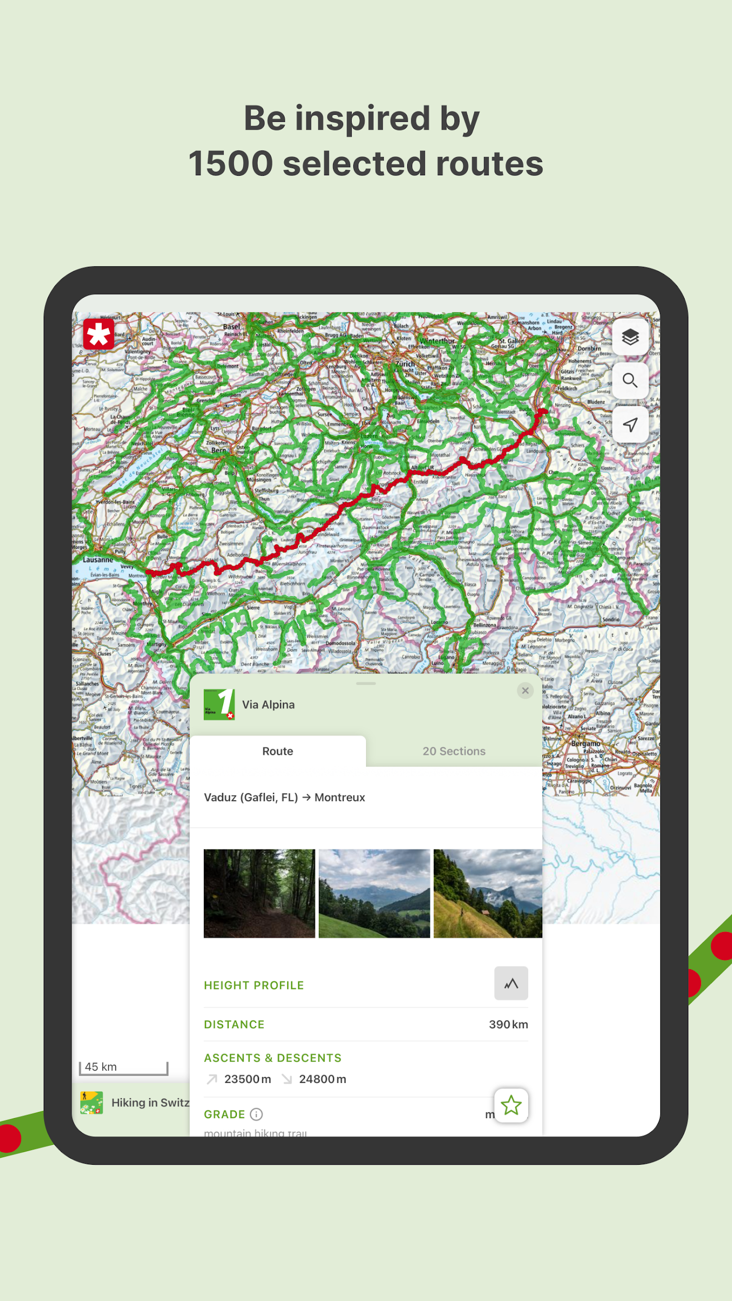
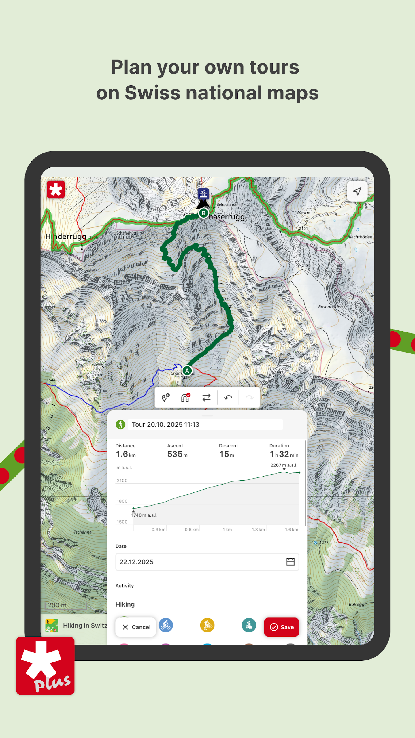
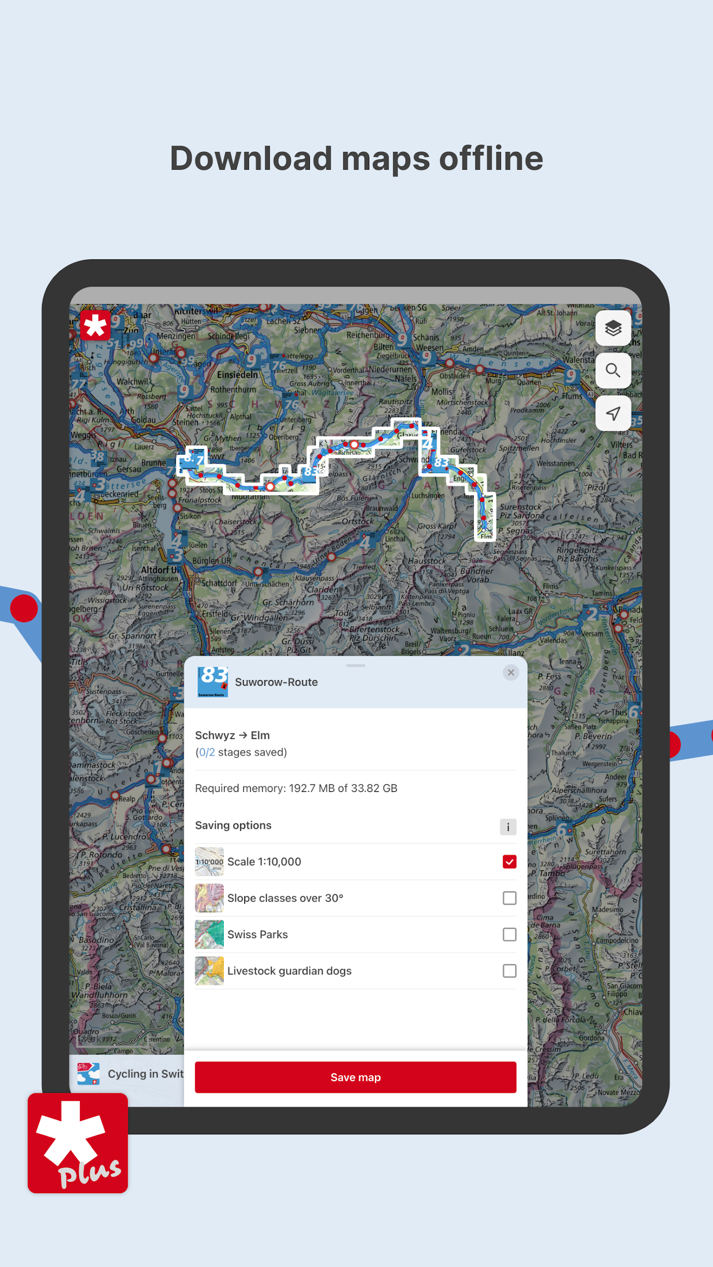
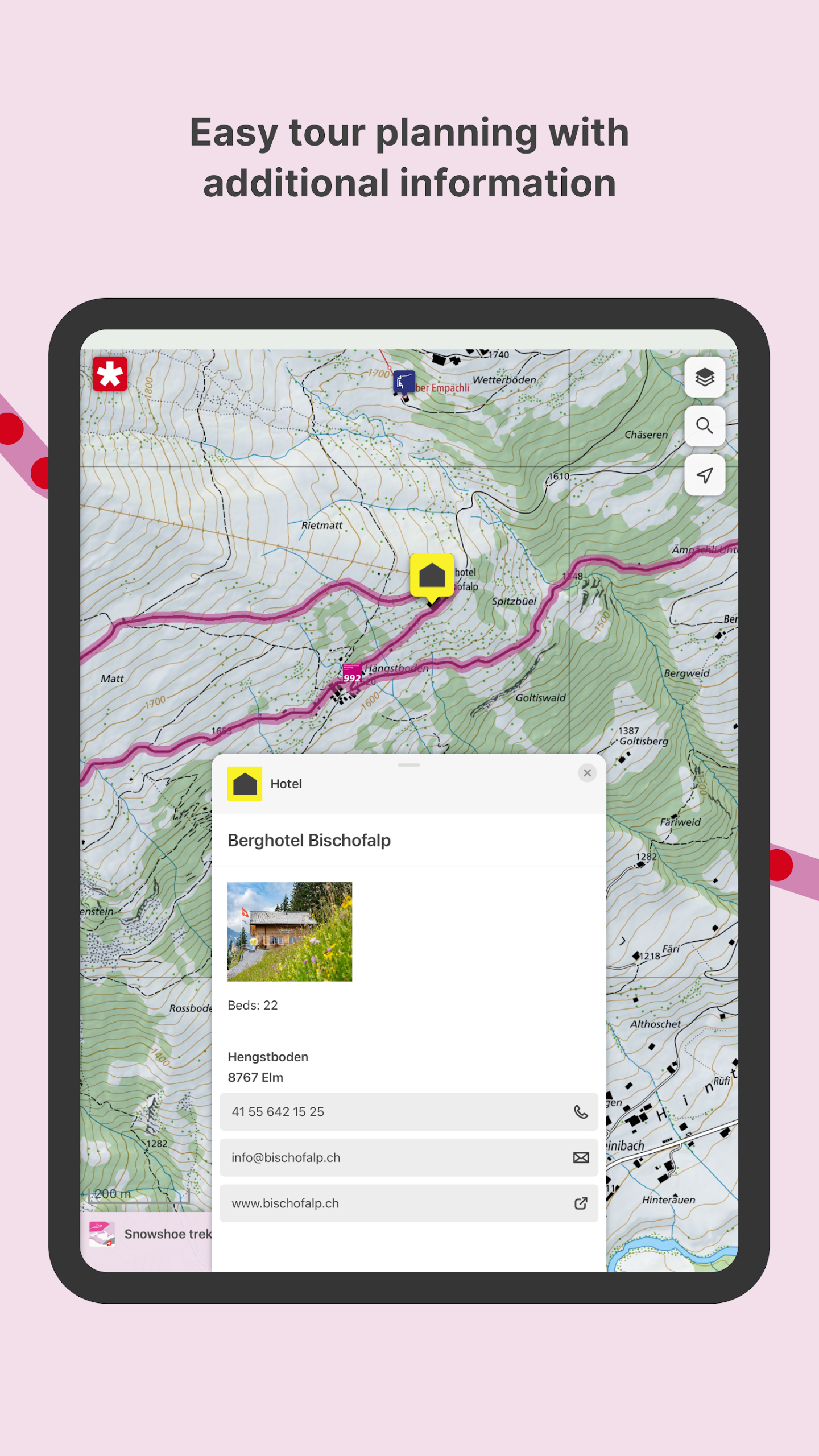
SwitzerlandMobility offers a wide range of routes comprising a high-quality presentation of the scenic and cultural variety of Switzerland and its regions. On the national routes, you can discover the most attractive multi-day routes leading all across the country. The regional routes combine multiple daily sections, cross cantonal borders and portray amazing regions. The local routes are generally suitable for one-day trips – ideal for an after-work outing or a weekend tour.
Our filter function is an easy and uncomplicated way to find a tour that suits you. It provides you with the ability to determine the region or the level of difficulty you prefer and to select the route that fits your needs based on various criteria. Every route is provided with detailed descriptions and additional practical information such as arrival with a direct link to the SBB timetable, bookable travel, overnight accommodations, travel reports, descriptions of the location, and places of interest. In addition to the route information, you can have the route displayed on the map. Over 90,000 photos illustrate the routes and allow you to imagine what you might expect, even before you leave. The photos are all located on the map.
Tips for eco-friendly hiking
Many plants and animals rely on a highly restricted habitat and are very sensitive to disturbance. You are nature’s guest and your behaviour helps to preserve these exceptional landscapes.
Keep to existing trails and routes:Hiking on marked trails preserves the habitats of plants and wildlife. Do not pick any plants and keep your distance to observe wildlife.
Respect restrictions:When in a nature preserve, keep to the rules of the area.
Leave no trace behind:To minimise the impact on the environment, we ask you to please carry out your litter and subsequently recycle or properly dispose of it.
Use existing fire pits: Use only existing fire pits. Every new one has a negative impact on the vegetation and the land. Take note of the risk of forest fires.
Keep your distance from mother cows: Mother cows may react with violence when their calves are in danger. Avoid touching the calves and keep your dog leashed.
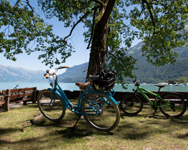
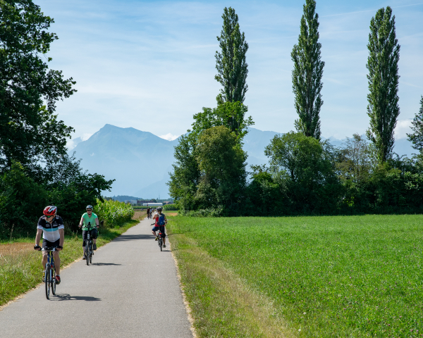
The most beautiful gravel bike tours
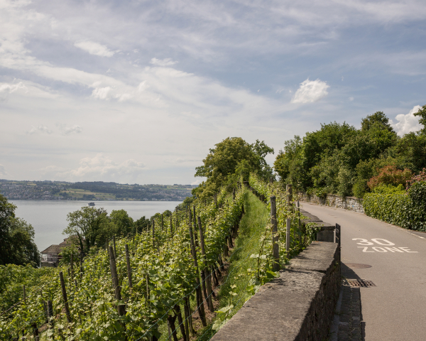
Be it gravel trails, hidden forest paths or alpine roads, we have compiled a selection of the most beautiful gravel bike tours for you. A gravel bike combines the speed of a racing bike with the robustness of a mountain bike. It offers versatility so you can explore almost any terrain, from tarmac roads to forest tracks and easy trails.
Whether you are looking for a relaxing ride after work or a challenging day trip, you will find the perfect route here.
Do you love gravel biking and are you often out and about on SwitzerlandMobility routes? Then send us your own tips for gravel biking on SwitzerlandMobility routes.
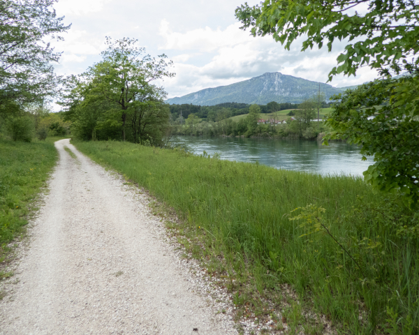
65 Inn-Radweg
A route through a unique landscape alongside the rushing waters of the Inn: impressive Engadine houses with filigree decoration, crystal-clear lakes, a varied terraced landscape, a paradise for rare birds.
82 Seerücken-Route
Riding alongside the Rhine, you pass the St. Katherinatal Monastery, then head to countryside, to the timber-framed buildings at Stammheim. Surprisingly we have repeated panoramic views of the Alps. Apple trees increase in numbers, the Bodensee is not far off.
908 Jurapark-Aargau-Route
The Jurapark Aargau route leads through Switzerland's green treasure trove – across fields, past gnarled high-crowned trees, through the sparse forests of the Tafeljura and Kettenjura.
53 Töss-Jona-Route
Starting at idyllic Tössegg by the Rhine knee, the route breaks away from its rural beginnings and explores early traces of industry: proud machine and locomotive builders in Winterthur and rows of romantic workers’ cottages.
66 Goldküste–Limmat
The second stage of the Gold Coast to Limmat route begins at Zurich’s main railway station and hugs the Limmat River westwards into the Limmattal valley in the Canton of Aargau, sticking mainly to natural paths.
73 Wiggertal–Glaubenberg
The sedate old town of Zofingen, the murmur of the Wigger river at the flood dam, a grass snake swimming in the pond in Ettiswil, a quiet retreat at the St. Ottilien pilgrimage chapel and herds of cattle on Ruswil’s large farms.
99 Herzroute
The route from Romont offers a wealth of impressions and touches the rolling Alpine foothills as well as the Three Lakes region with the historic towns of Avenches and Murten.
113 Baselbieter Hof-Route
The scenic circular tour leads across a plateau of the Tafeljura mountains, past pretty villages, farm shops and buildings steeped in history.
380 Bödeli-Route
Surveying and simultaneously travelling along the «Bödeli», the wet land between lakes Brienz and Thun. The «Bödeli» route links a conurbation centre with nature, as well as a modern tourism destination with medieval churches and castle ruins.
505 Rheinwald Route
The Hinterrhein, still in its early stages here, offers up an enchanting landscape set against the spectacular backdrop of the Guggernüll and the Einshorn, and you can drink it all in on the Rheinwald Circular Route.
979 Kleiner Dreiland-Radweg
This pleasurable tour is located at the southern bend of the Rhine and connects Switzerland, Germany and France. Between rivers, nature reserves and a remarkable architectural heritage, the diversity of the border triangle can be explored.
8 Aare-Route
«Child» of the Jura waters correction: the Nidau-Büren canal and the Häftli loop. The Witi, dry, where hares and storks gather. Nearby, the sluggish meandering Aare, in the distance, the St. Ursen tower announces the baroque town of Solothurn.
5 Mittelland-Route
Lac de Neuchâtel: chirping in the reeds, waves lapping at the gentle shore, the Jura shimmering in the distance. Over 100 species of birds breed in the Grande Cariçaie, the 40-km-long marsh and reed belt along the southern shores of the lake.
- Version5.0.0
- UpdateMay 24, 2025
- DeveloperStiftung SchweizMobil
- CategoryTravel & Local
- Requires AndroidAndroid 8.0+
- Downloads530K+
- Package Namech.schweizmobil
- Signature972f651d8fbba3bde39d515f4573f92f
- Available on
- ReportFlag as inappropriate
-
NameSizeDownload
-
92.94 MB
-
26.73 MB


Faster UI experiences
Detailed changes according to zoom level
Access to high-resolution maps
Ability to create/edit routes on mobile
Ad-free usage
Integration with web platform for route planning
Offline map downloading capabilities
Excellent customer service
User-friendly interface features
Maps require online access to function
App crashes after updates
Confusing and inconsistent interface
Difficulty in offline map storage
Limited zoom capabilities
Loss of favorite routes from previous versions
Major performance issues and slow app responsiveness
Inability to export or save drawn routes
Unintuitive user experience, causing frustration