MaRando – FFRandonnée - Hiking trails discovery & navigation
Explore inspiring trails & navigate effortlessly with expert routes, all while enhancing your hiking experience like never before!
- 1.0.16 Version
- 2.0 Score
- 345K+ Downloads
- In-app purchases License
- 3+ Content Rating

APP at glance
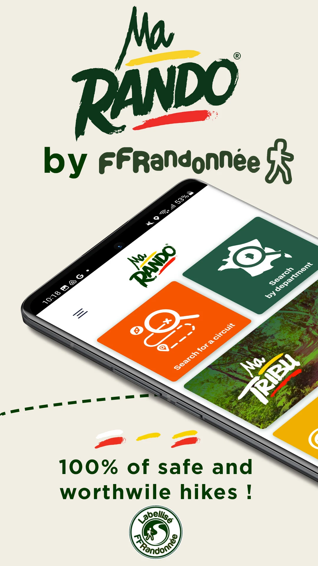
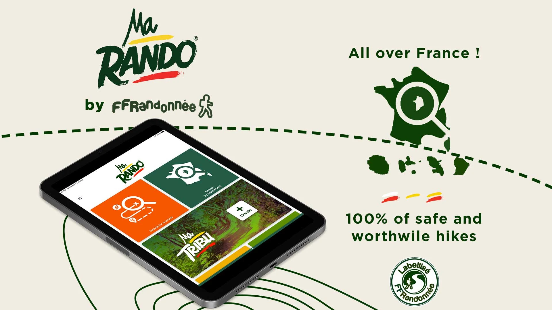
MaRando is the mobile application developed by the French Hiking Association (FFRandonnée) that adds a refreshing touch for hiking enthusiasts, whether they enjoy short excursions or extended multi-day treks.A free hiking app offering nearly 10,000 carefully selected and regularly updated routes. Each route is designed to take you to different landscapes and historical sites while respecting safety and the environment. The quality and reliability of these routes are ensured by over 9,000 volunteer trail markers.
This app aims to motivate and simplify hiking for all outdoor sports lovers. MaRando showcases the dedication of its teams of volunteer trail markers who have maintained over 180,000 kilometers of pathways since 1947.
THE FFRANDONNEE LABEL, A VALUABLE ASSET!
A national label conferred on our association by a Federation recognized for its public utility assures every hiker of the quality of the trails available. It offers significant advantages in terms of sporting heritage, safety, and comfort for hikers, while also prioritizing the well-being of our beautiful planet. This label is granted based on specific criteria:
- Markings comply with the official FFRandonnée marking and signposting guidelines
- Duration of trail maintenance
- Free from hurdles (under normal circumstances)
- Limited paved roads: applicable only to rural PR® paths
- Circuit heritage value: including natural landscapes and architectural landmarks
- Environmentally sustainable
This comprehensive set of quality standards is reflected in the hikes featured within MaRando.
FEATURES THAT WILL TRANSFORM YOUR EXPERIENCE
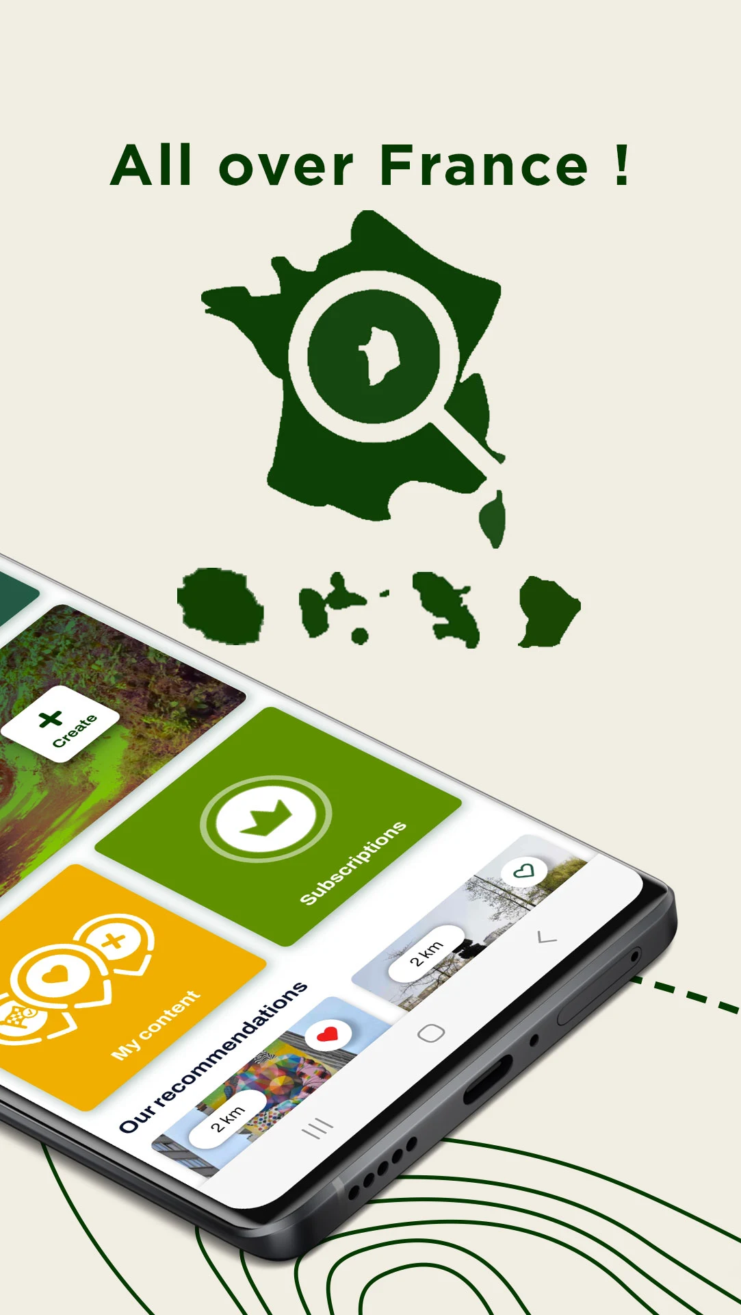
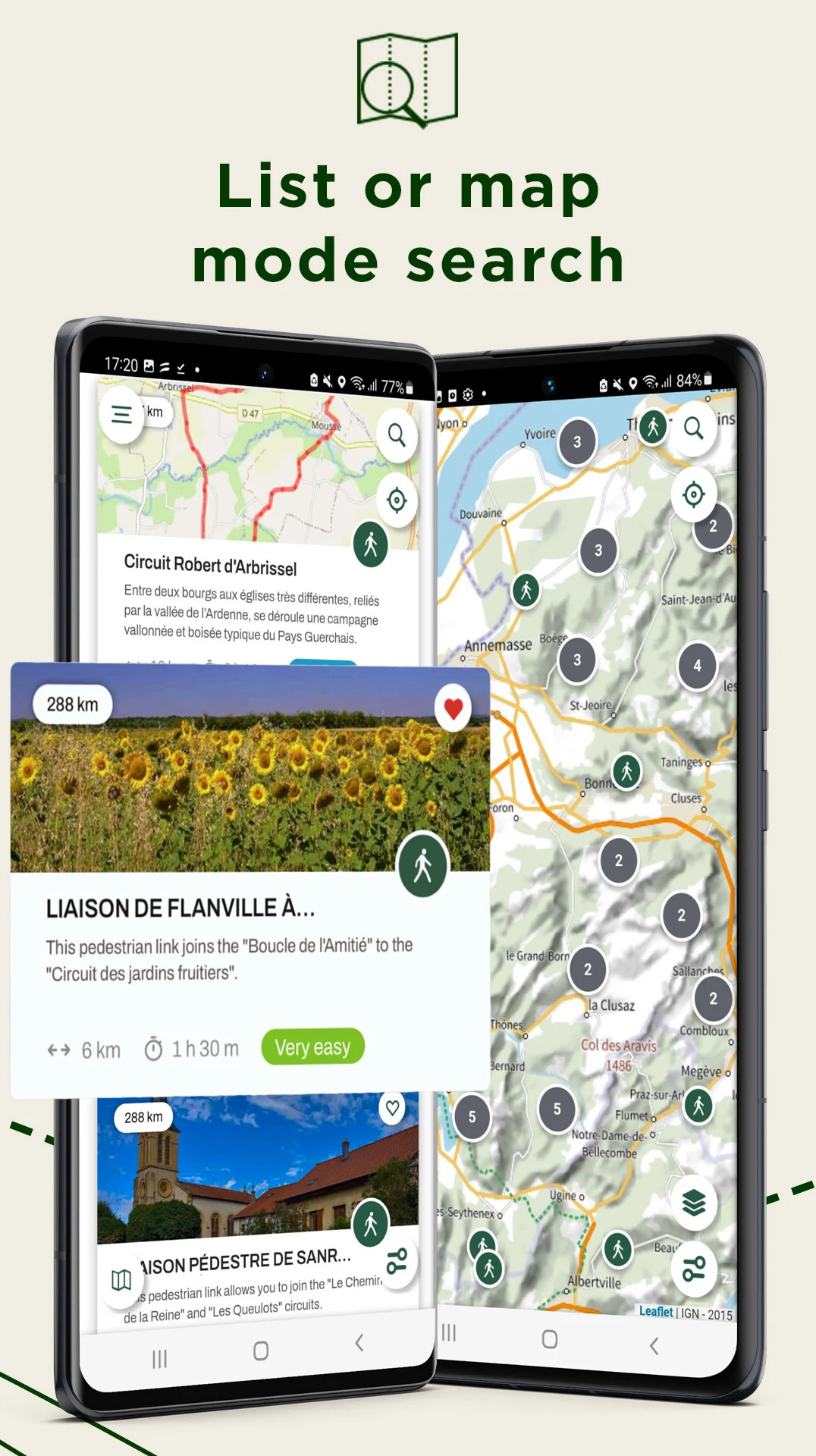
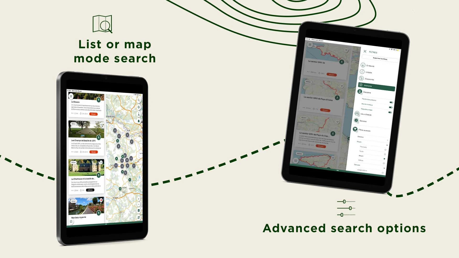
- Discover numerous hiking opportunities nearby, curated by local enthusiasts and FFRandonnée experts
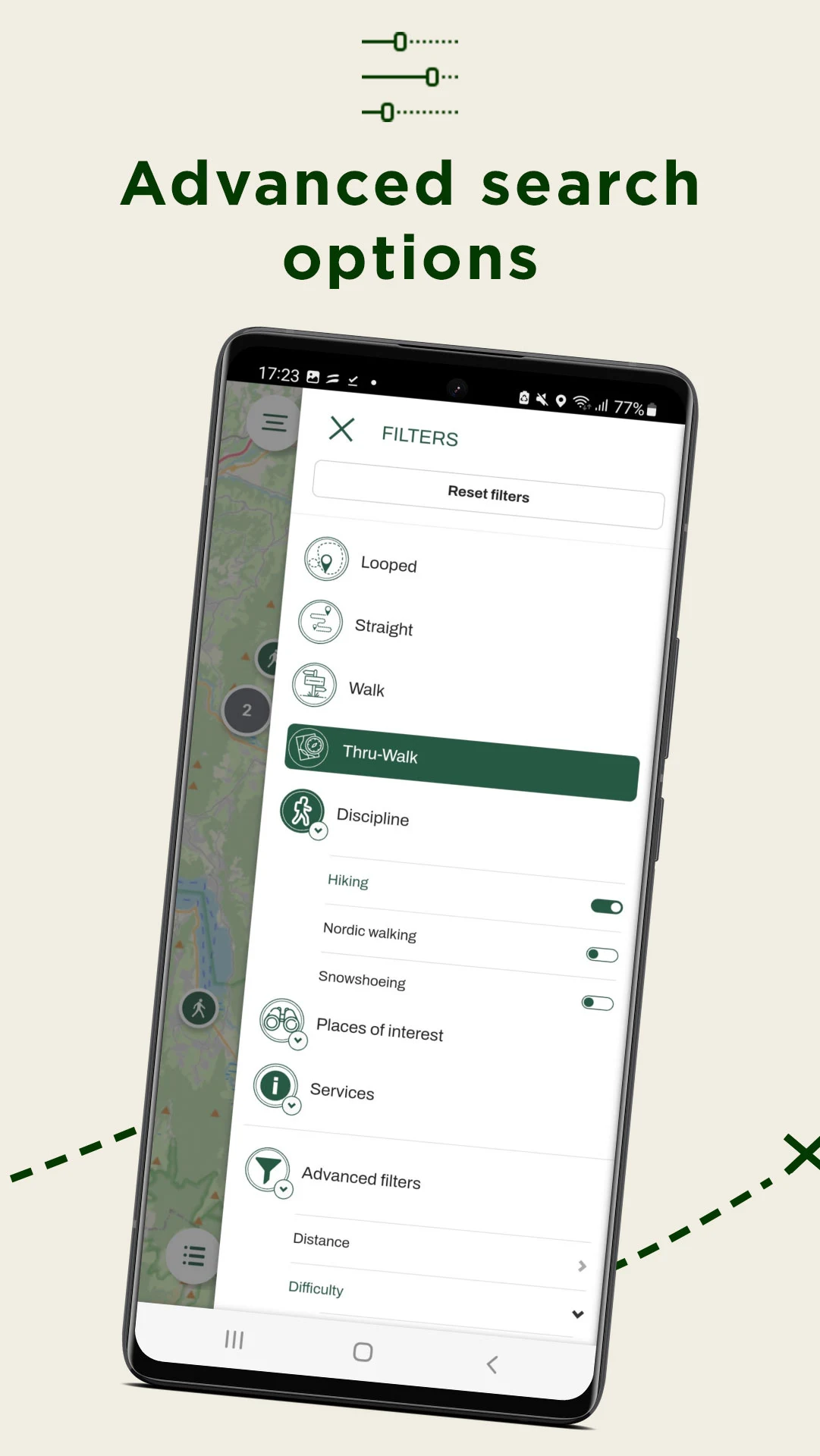
- Refine your search to access paths meticulously selected based on your preferences
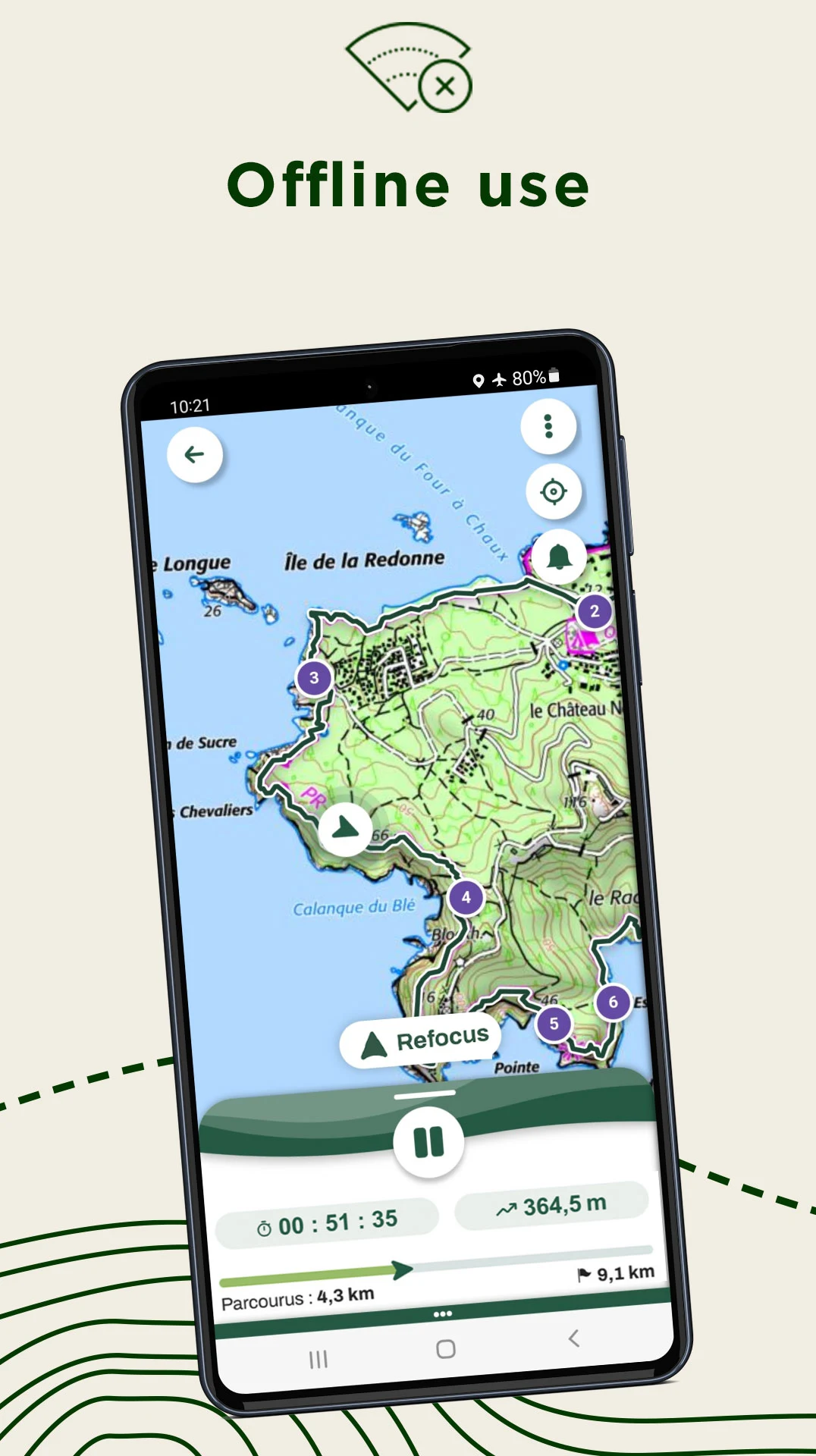
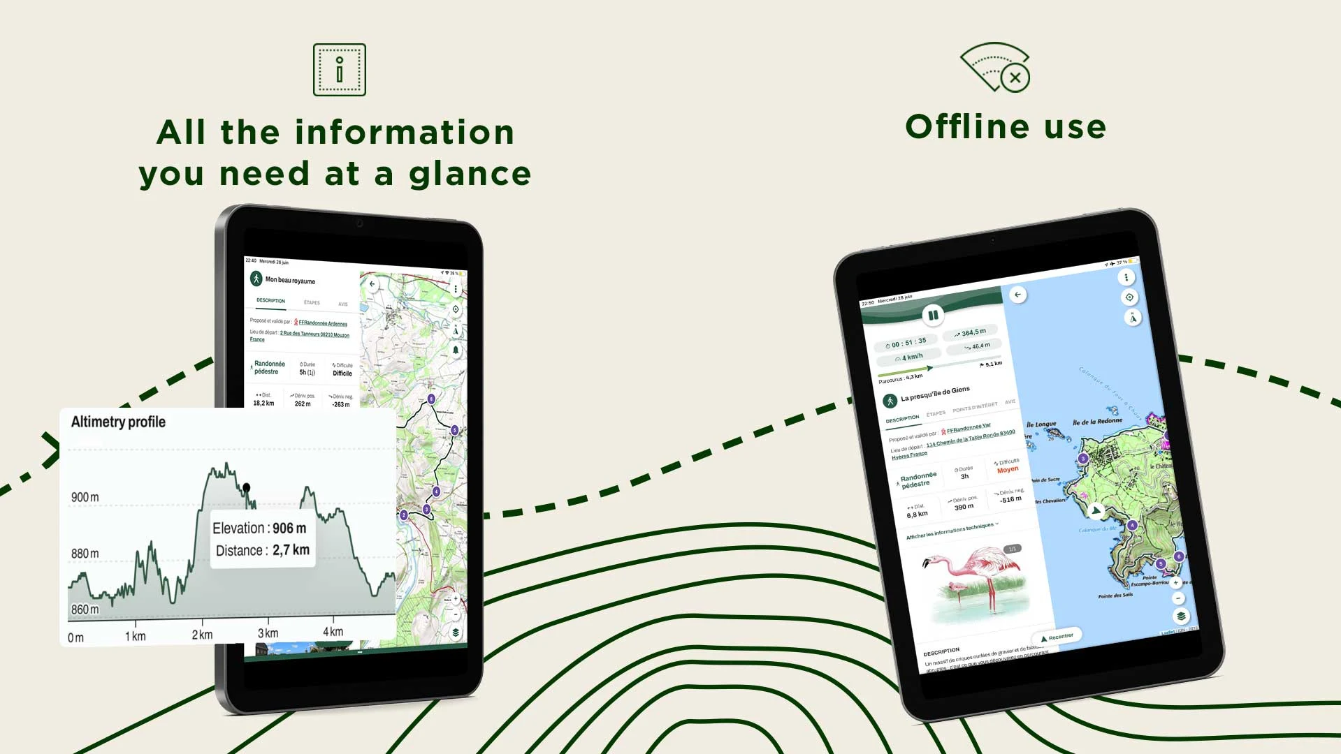
- Eliminate connectivity issues during your hike: download your route at no cost and carry it with you for offline access!
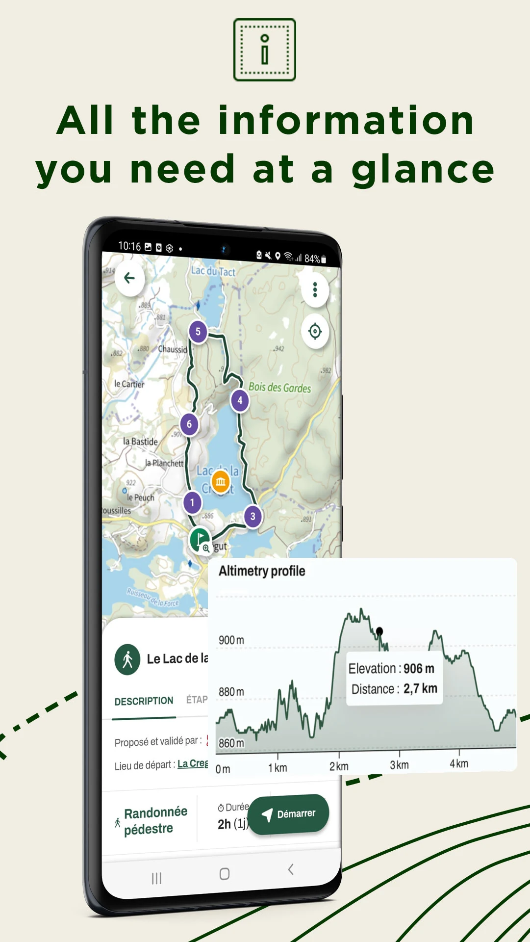
- Since hiking benefits both physical and mental health, ensure you don’t miss any points of interest along your journey
- Activate GPS navigation to guide you smoothly: we will notify you if you veer too far off course
- Alternatively, download a PDF of the path or its GPX version
- For those who enjoy competition, set personal goals and track your performance using our statistics tool to unveil your hiking style!
- Save all your favorite routes to easily revisit them later!
CONTRIBUTE TO THE GROWTH OF HIKING
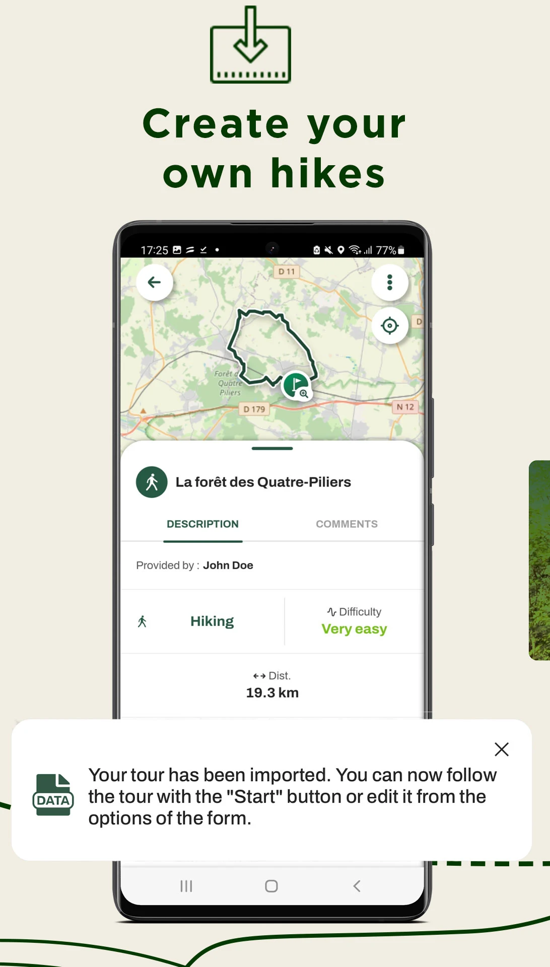
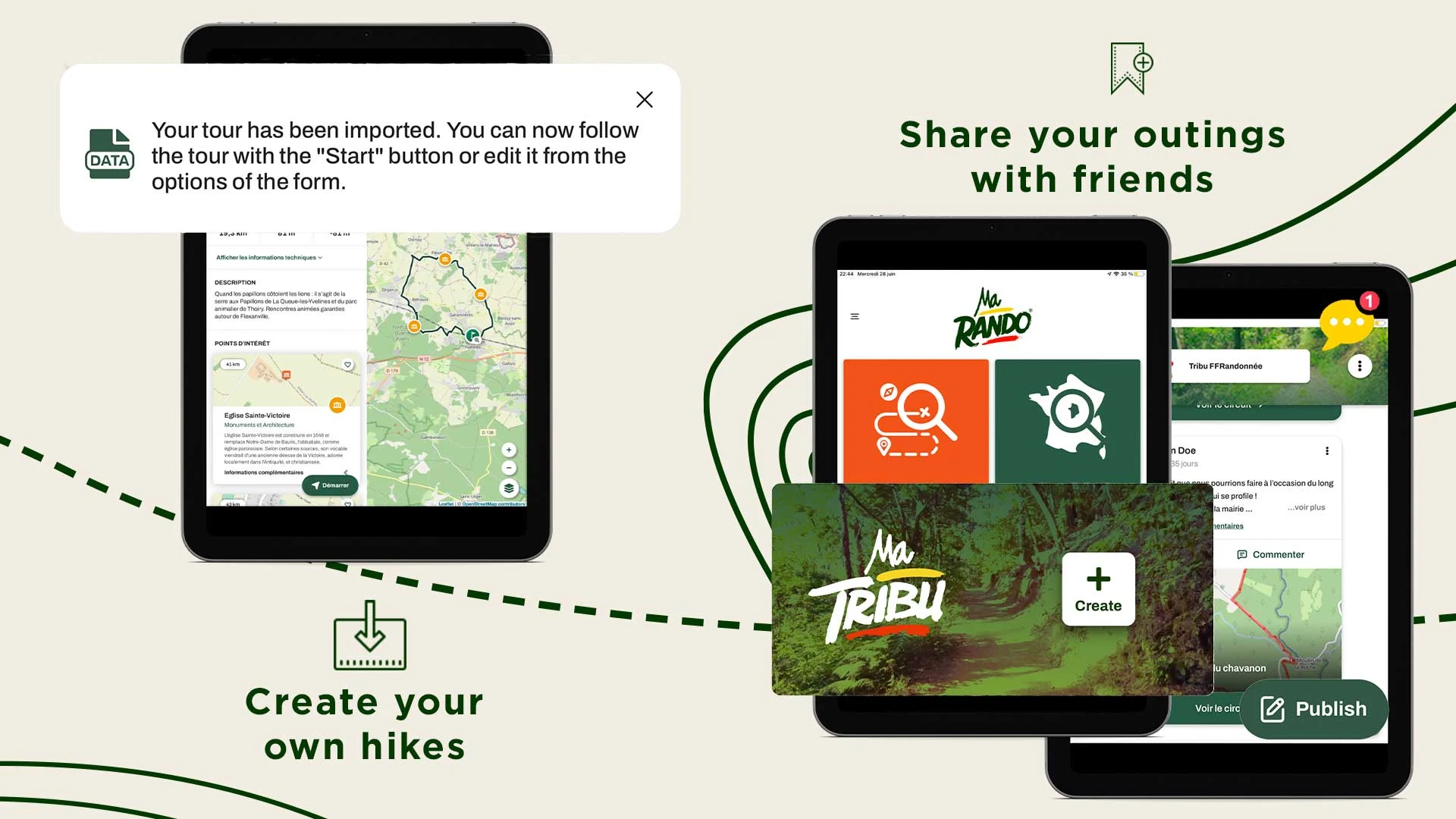
- Design your own hiking trail and link points of interest, enhancing it with illustrations
- If you notice a marking error, an obstacle affecting trail access, a faulty signpost, safety issues, or any other concerns related to the trail, please report the problem directly within the app via the Suricate feature. Your feedback will be forwarded to a network including local authorities, sports federations, government agencies, and natural area managers. You’ll then receive updates regarding the response to your report.
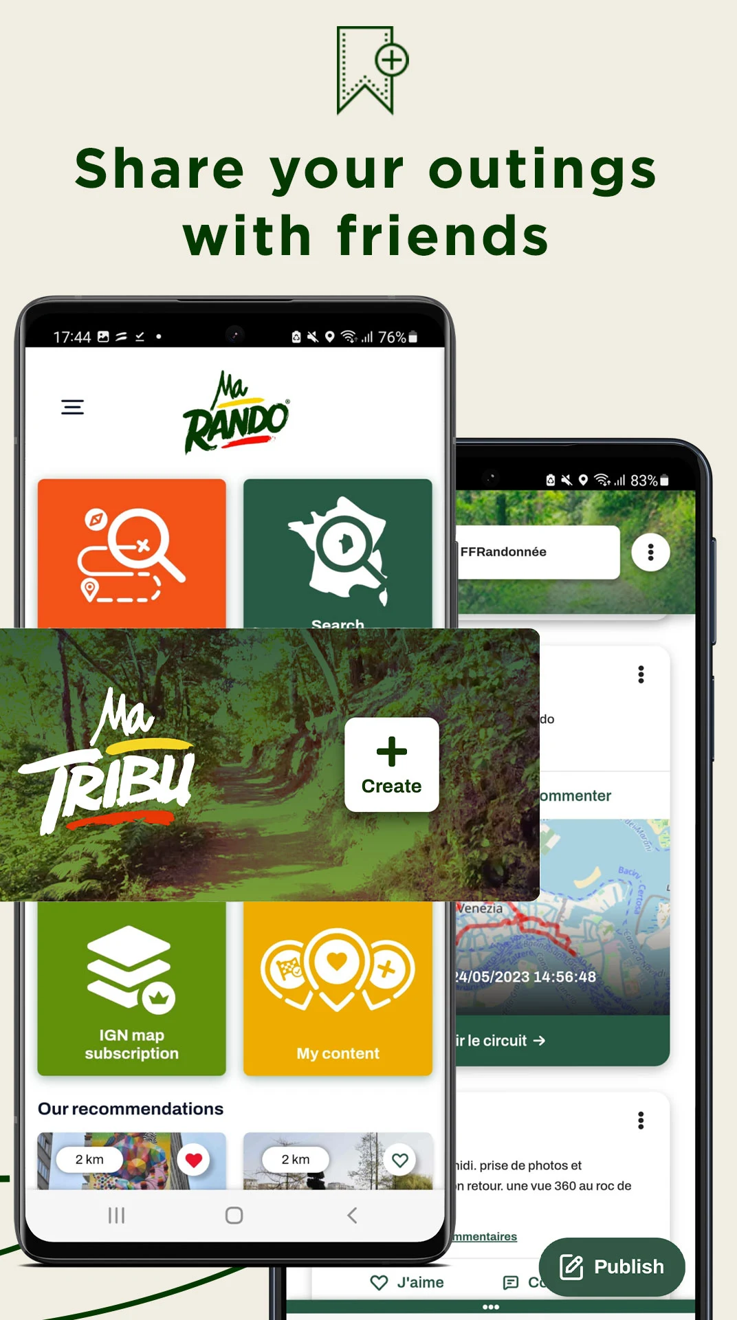
- Share your experience from your recent hike by leaving comments visible to the entire MaRando community
- Should you encounter a technical issue or have suggestions that could enhance the hiking experience or the app itself, feel free to share your thoughts.
- Free: All these features are available without a subscription.
MaRando is supported by the National Sports Agency (ANS).
Frequently Asked Questions
1.How to make MaRando work correctly in the background or with the screen off?
Preamble: It is essential to activate certain settings on your phone to optimize the operation of MaRando®. Indeed, operating systems increasingly use battery-saving or forced standby techniques, making background and screen-off processes unusable and thus difficult to use the mobile application. To fully utilize the capabilities of the MaRando® application, particularly with regard to tracking and recording circuits, we recommend that you follow the following procedures. These may be slightly different depending on the version number of the Android or IOS operating systems on your phone. If necessary, you can help yourself, in addition to the information below, by browsing the official website listing the settings you need to make depending on the phone model and operating system version: https://dontkillmyapp.com
On Android:
On Android, new features automatically limit apps from running in the background unless they are excluded from battery optimizations . This represents a major change from usual Android process management policies. However, developers should be careful when requesting exclusions, as this can lead to Play Store policy violations and their expulsion from the platform.
2.What does the fuchsia-colored MaRando network correspond to?
This network is called the MaRando network. It represents all the circuits (GR®, GR® de Pays, PR, labeled PR and circuits co-constructed with the communities) present in the application. It allows at a glance to observe the global network present in MaRando and possibly to use it as is to hike from circuit to circuit, while guaranteeing the same quality of marking and maintenance as on a single circuit.
To activate or deactivate it, simply go to:
/ in Menu > Settings > Map preferences > Basemaps > MaRando Network
/ or otherwise on the consultation sheet of a circuit > Options > Map base > MaRando network
3.I completed a route on MaRando, but it's not registered as completed. Why?
--When tracking a route on MaRando, the user must meet certain conditions so that at the end of the tracking, the route is considered completed. The user can then find it in My space > My content > Completed.
A circuit is performed if:
--The user has traveled 40% of the circuit distance.
OR (Boolean logic)
--The user approached to within 40m of 30% of the points that make up the circuit layout.
- Version1.0.16
- UpdateSep 17, 2025
- DeveloperFFRandonnée - Cirkwi
- CategoryTravel & Local
- Requires AndroidAndroid 7.0+
- Downloads345K+
- Package Namecom.cirkwi.marando
- Signaturef154cf2dd29c431d530cab908eed34e1
- Available on
- ReportFlag as inappropriate