Mapas de España - Outdoor navigation & mapping
Explore trails, plan excursions & track your journeys offline with detailed maps from National Geographic Institute.

- 3.5.1 Version
- 3.2 Score
- 447K+ Downloads
- Free License
- 3+ Content Rating

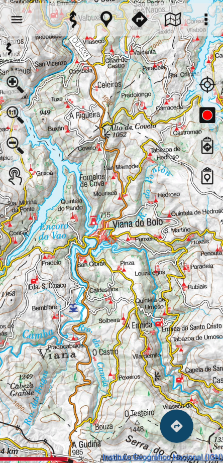
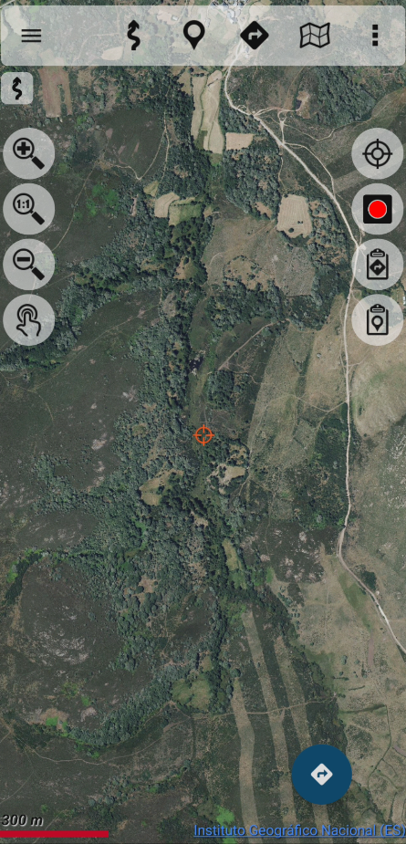
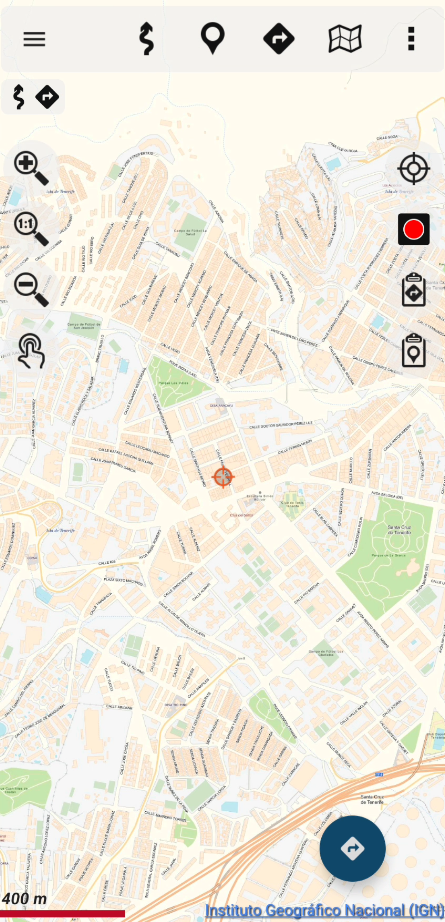
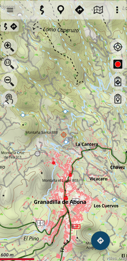

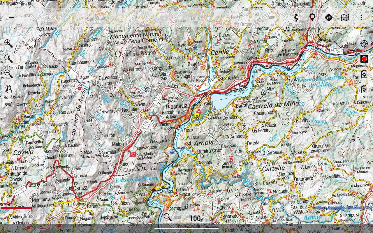
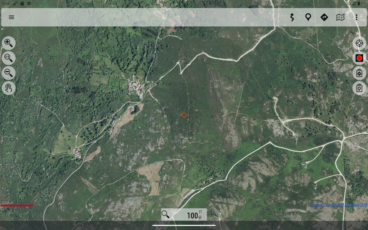
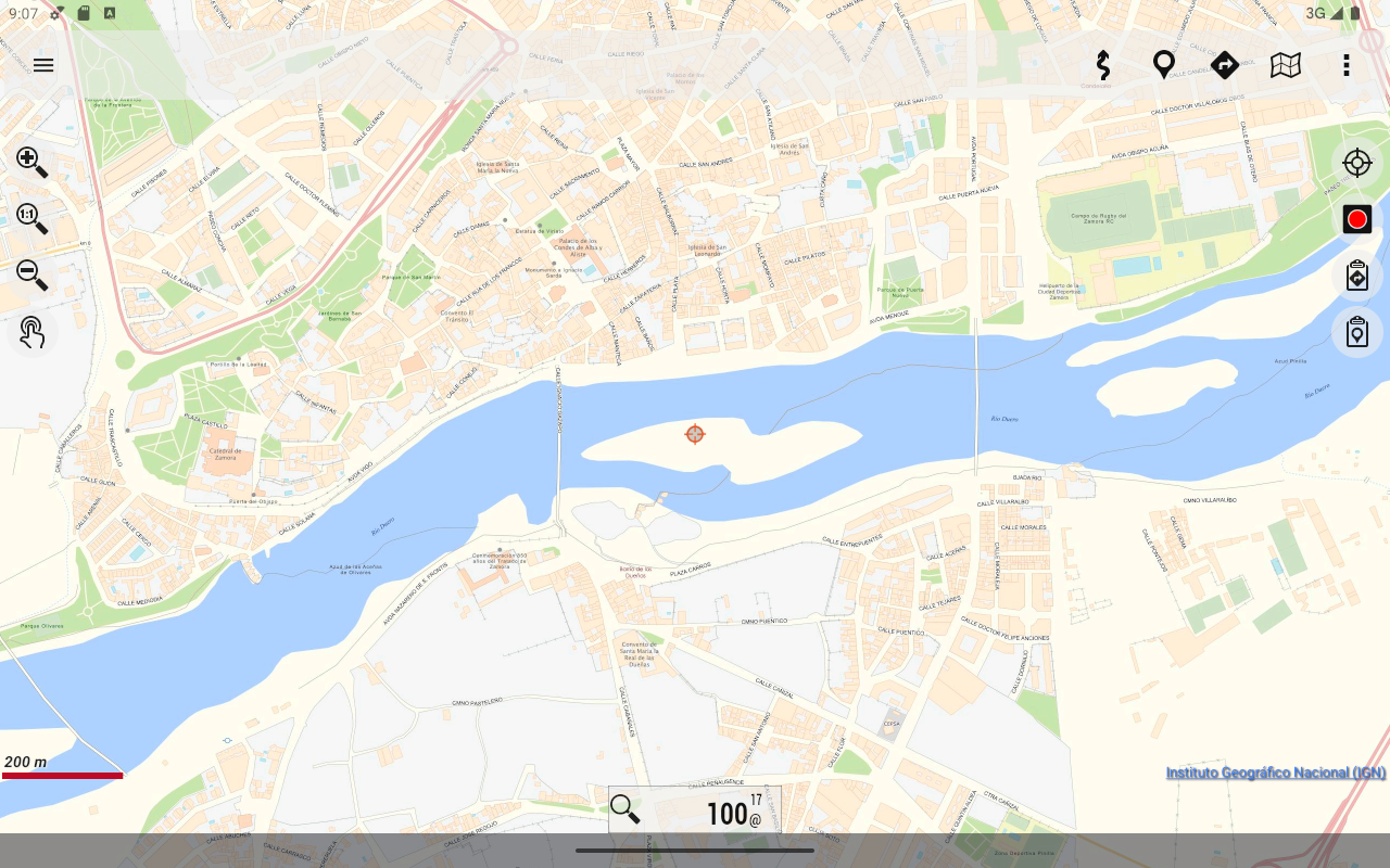


This complimentary viewer is well-suited for outdoor activities such as hiking, cycling, running, or skiing. It utilizes cartographic resources from the National Geographic Institute and various other ministry services, including cadastral data from the General Directorate of Cadastre.
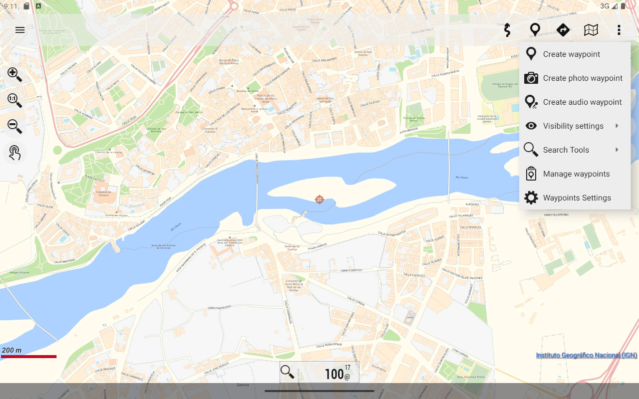
With this application, you can explore routes in National Parks, traverse stages of the Camino de Santiago, or use your own TRACKS/ROUTES to plan outings with maps, navigation, and guided tours—all without an internet connection.
The maps and routes provided are entirely free and enable you to:
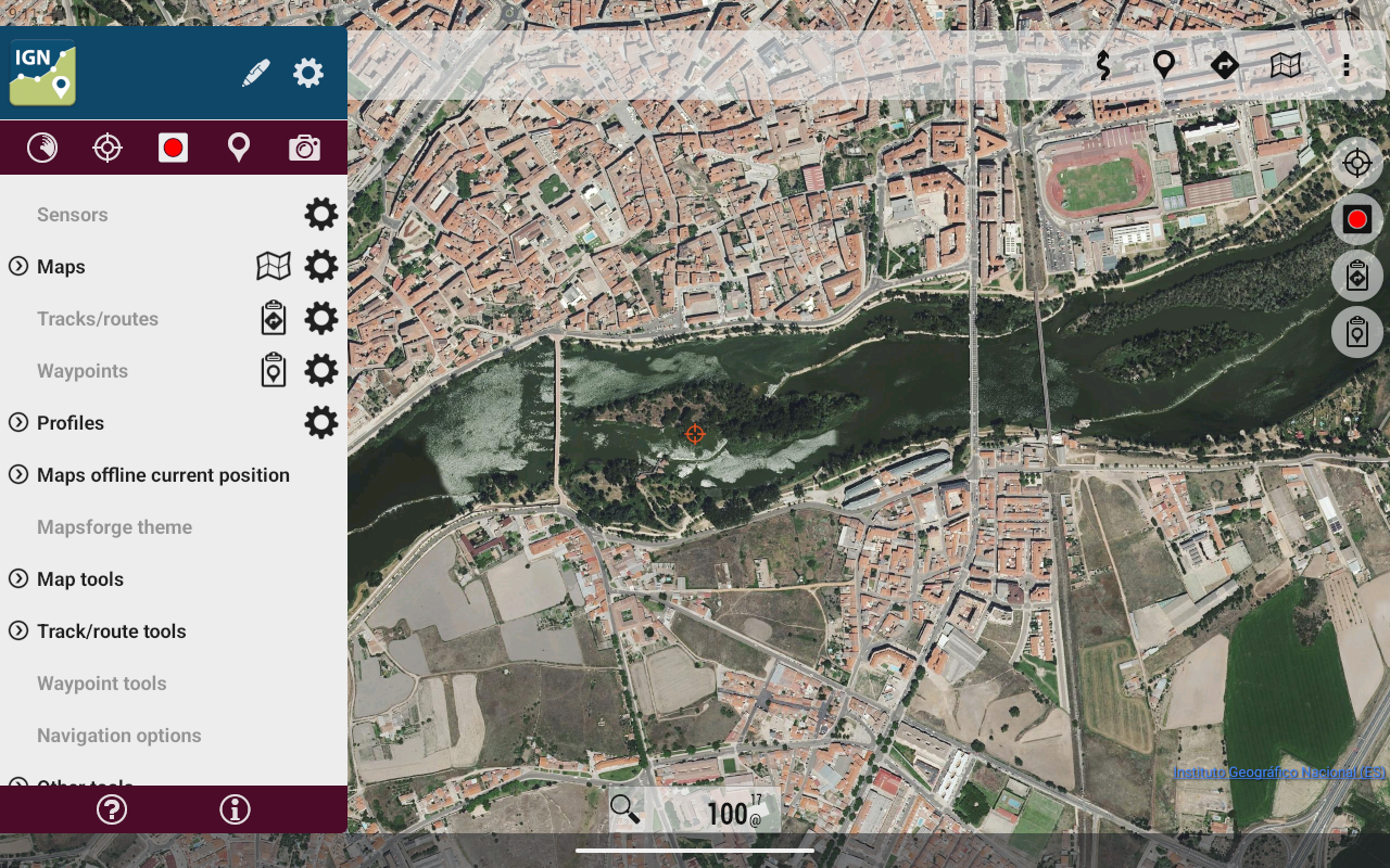
- Determine GPS location even in areas lacking mobile coverage.
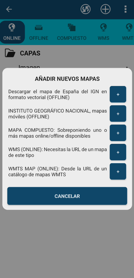
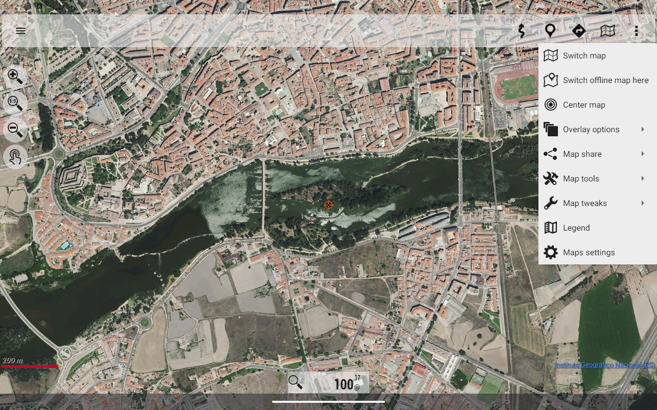
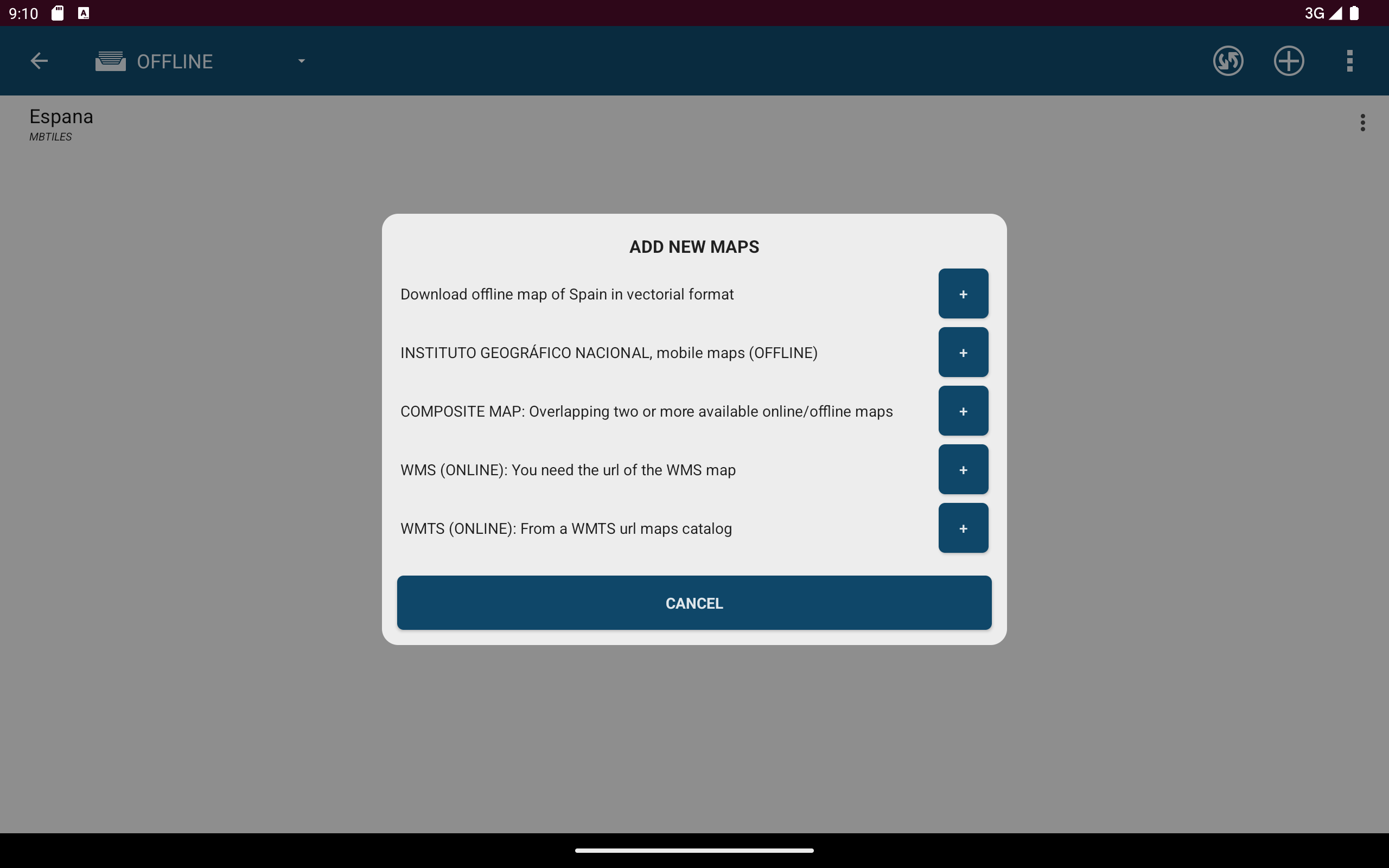
- Access offline map mode*: download maps in advance.
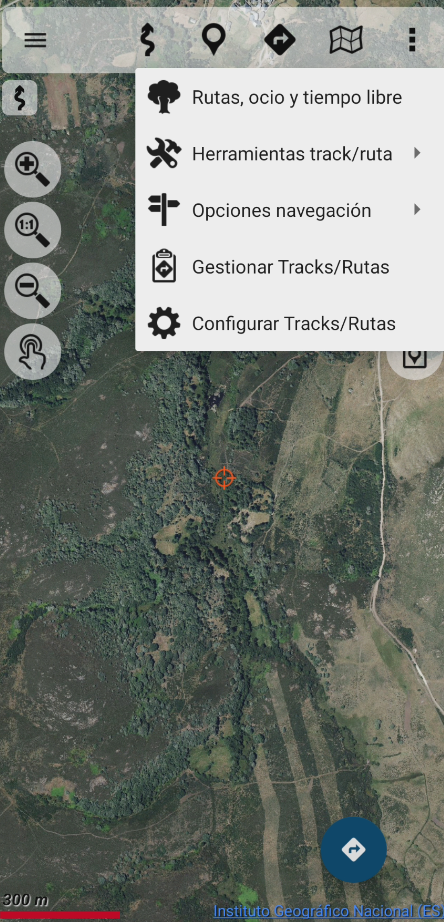
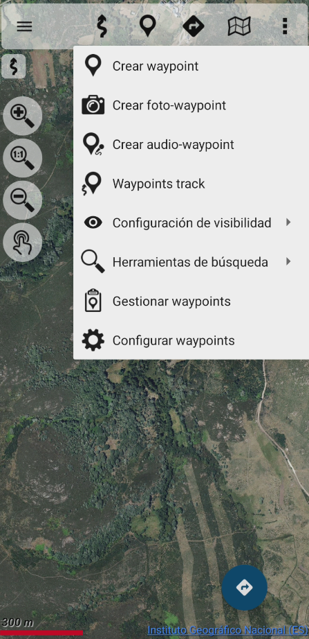
- Create routes (Tracks) using GPS on the maps from the National Geographic Institute.
- Save and view tracks in gpx, kml, and kmz formats.
- Utilize IGN's WMS and WMTS map services, turning the app into a WMS viewer.
- Employ services from the CartoCiudad project for location identification.
- View positioning details including coordinates, heading, speed, and altitude, along with distance calculations.
- The application supports multiple languages: Spanish, Catalan, Galician, Basque, and English.
- It is built on OruxMaps software.
The Maps of Spain functionality serves as a GIS tool and originates from a Spanish government entity, being utilized by various professionals including those in public service roles such as police officers, forest rangers, and firefighters.
Typically, the catalog of Spain's maps is stored internally. For instance, databases in mbtiles format are used.
Transferring all such information to the private storage of each application seeking to utilize that data isn’t feasible, as this would involve tens or hundreds of gigabytes. Moreover, public storage access via the Android file system does not permit direct or random file access, which is necessary for accessing databases or binary map formats that the app requires.
If this permission is not granted, both professional and amateur users who frequently rely on the app for GIS purposes will be unable to continue utilizing it effectively.
Identification Number of Official Publications (NIPO): 162190330
Maps of Spain: Your Reliable, Offline-Ready Navigator for Adventure and Professional Precision
From the rugged trails of the Pyrenees to the historic Camino de Santiago, Maps of Spain has become my indispensable companion for every outdoor pursuit, blending military-grade cartography with the simplicity every adventurer craves. As someone who thrives on spontaneous hikes and multi-day cycling trips, the app’s offline map functionality is nothing short of revolutionary—pre-downloading detailed National Geographic Institute maps ensures I’m never stranded, even in Spain’s most remote valleys where cellular signals vanish. The precision of cadastral data and WMS/WMTS integration transforms my phone into a professional GIS tool, allowing me to plot routes with cadastral boundaries, elevation contours, and even hidden trails that lesser apps overlook. Creating custom GPX tracks feels intuitive, and the real-time GPS stats (coordinates, altitude, heading) add a layer of navigational confidence that’s crucial when fog rolls in or trails blur.
What truly astonishes is its dual appeal: while I use it to conquer mountain stages, knowing it’s trusted by Spain’s firefighters and forest rangers—professionals who can’t afford errors—speaks volumes about its reliability. The multilingual support (Basque for local trails, English for international hikers) and seamless integration of CartoCiudad services make it versatile for both spontaneous explorers and meticulous planners. Though the app’s storage demands (mbtiles databases) are hefty, the trade-off is a treasure trove of accuracy that free alternatives can’t match. For anyone venturing into Spain’s wilderness or requiring geospatial precision on the job, Maps of Spain isn’t just an app—it’s a lifeline, merging adventure with authority in every pixel. Download it, and let Spain’s landscapes unfold with unmatched clarity, one offline mile at a time. 🗺️✨
- Version3.5.1
- UpdateMay 29, 2025
- DeveloperCentro Nacional de Información Geográfica - CNIG
- CategoryEntertainment
- Requires AndroidAndroid 5.0+
- Downloads447K+
- Package Namecom.orux.oruxmapsIGN
- Signaturef6d980d72598c8e22e8543b8fbd95535
- Available on
- ReportFlag as inappropriate
-
NameSizeDownload
-
42.63 MB
-
42.70 MB
-
34.08 MB


User-friendly for beginners
Improved route management features
Attractive and functional user interface
Extensive offline navigation capabilities
Ability to create custom maps
Detailed and high-quality maps available
Support for importing and managing tracks
Useful for various outdoor activities
Complex and difficult to learn initially
Confusing user interface described as "hieroglyphic"
Heavy data consumption noted
Occasional bugs with device compatibility
Lack of diverse map sources mentioned
Some features not functioning properly after updates
UI does not adhere to modern standards
Limited support for devices after updates