Google Earth - Explore global locations.
Explore the world with 3D maps and virtual reality tours.

- 10.61.0.9 Version
- 4.3 Score
- 286M+ Downloads
- Free License
- 3+ Content Rating

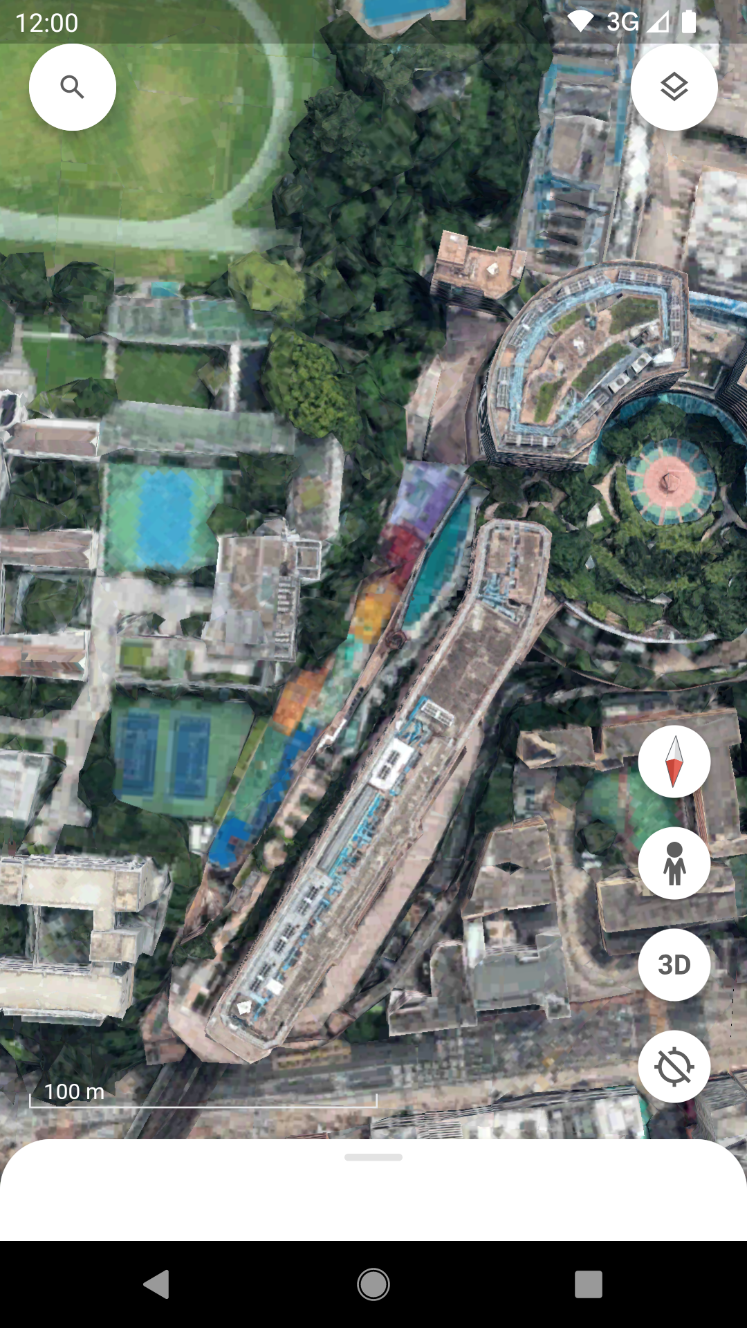
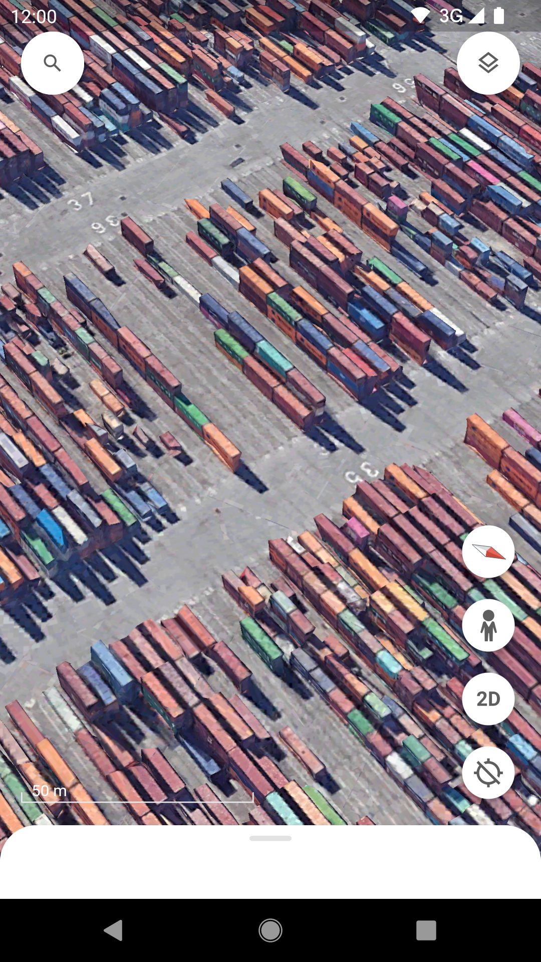
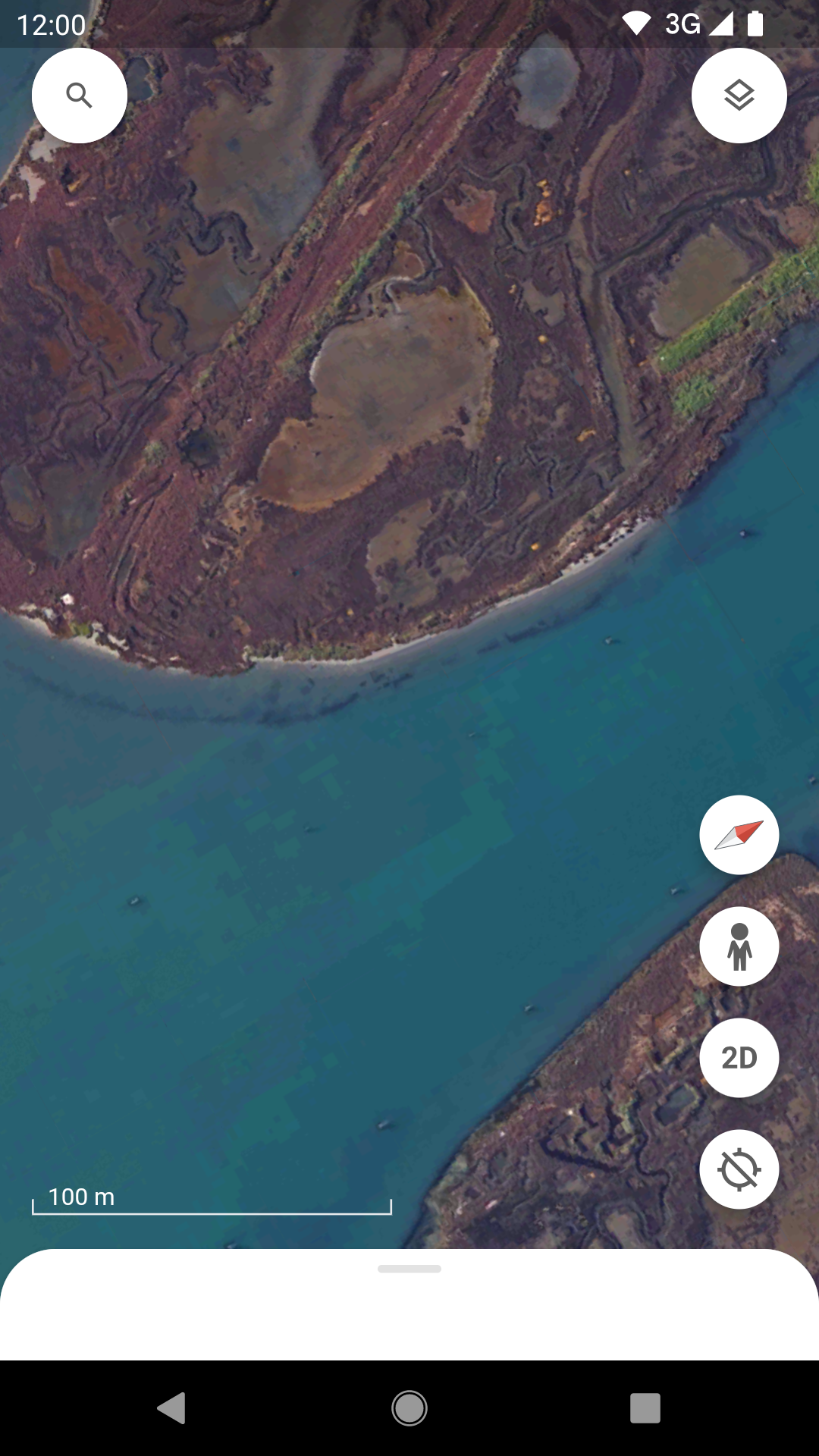
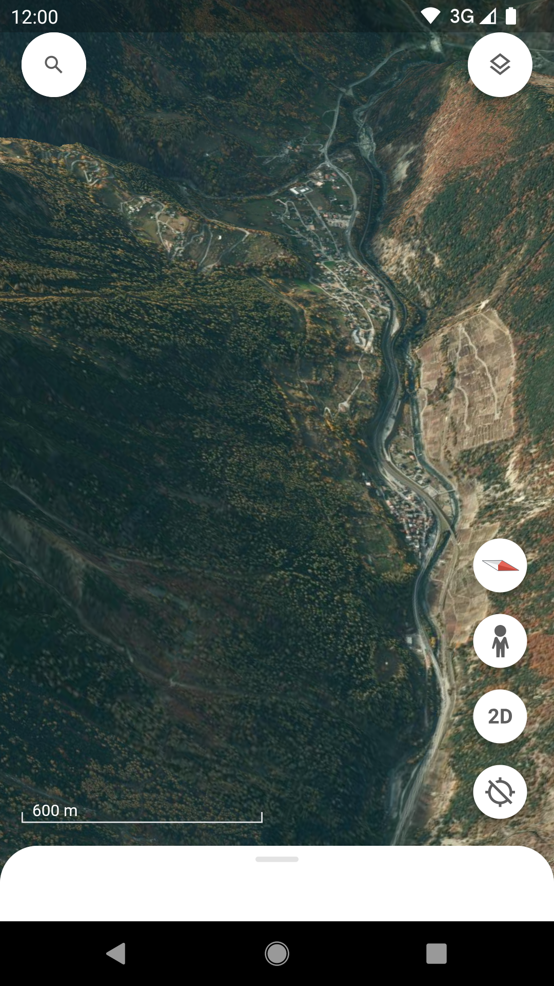
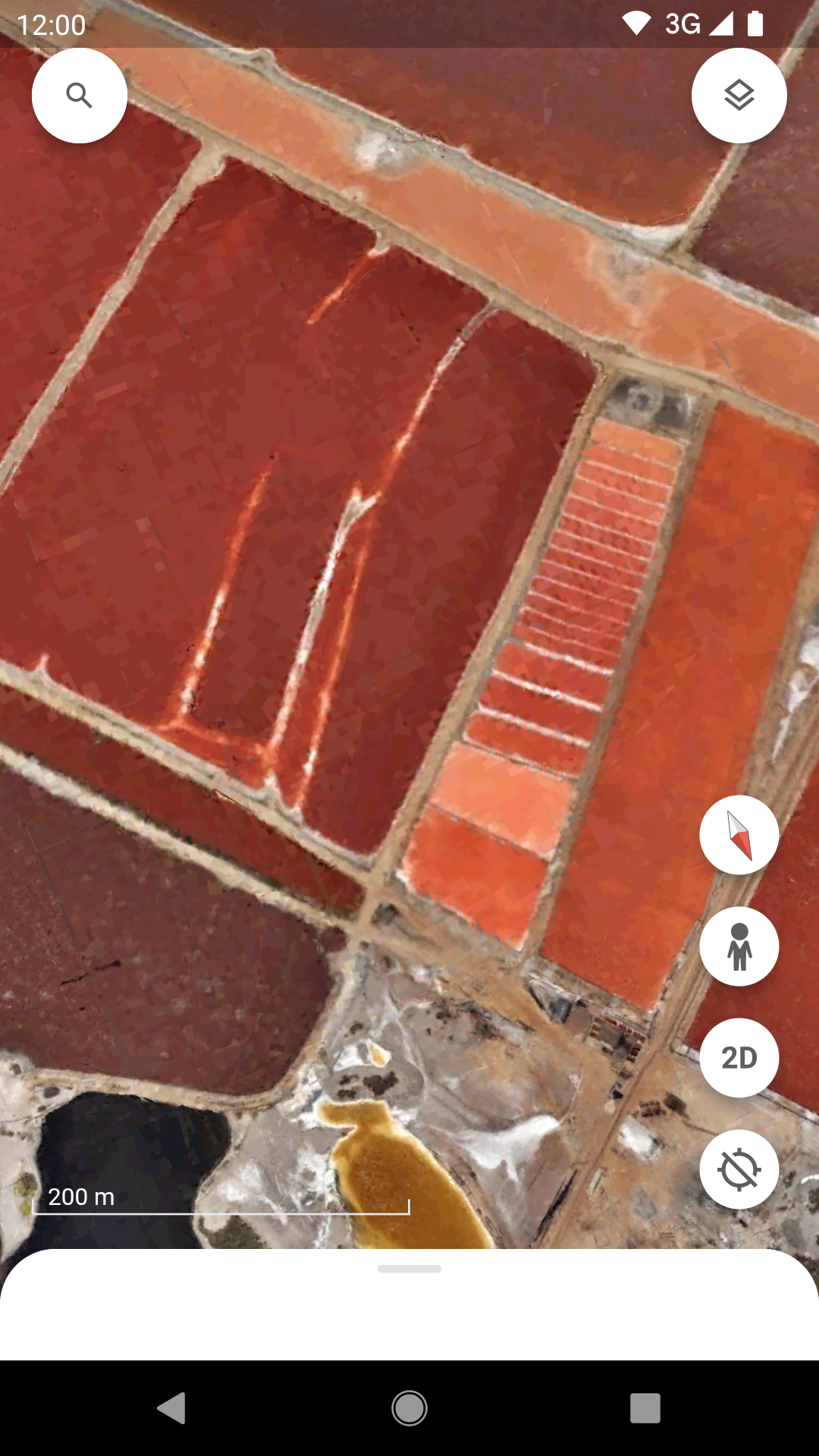
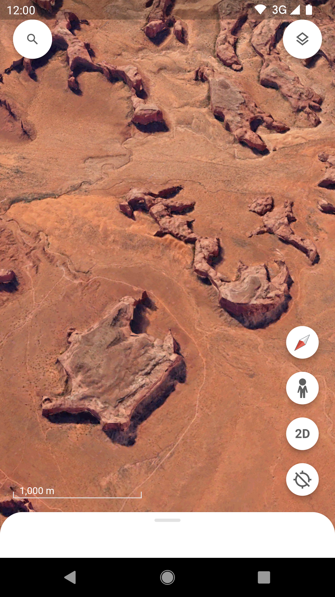
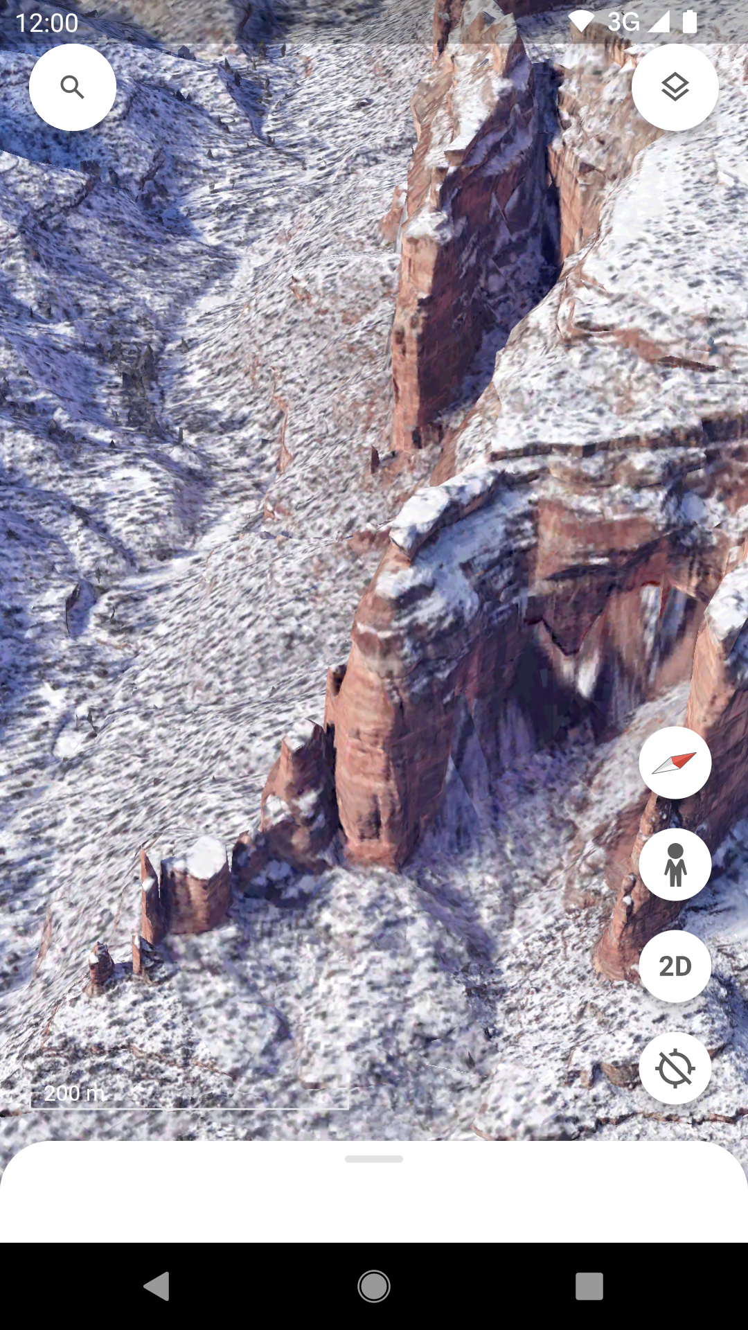
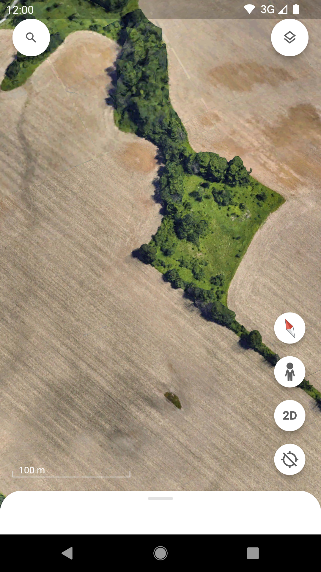
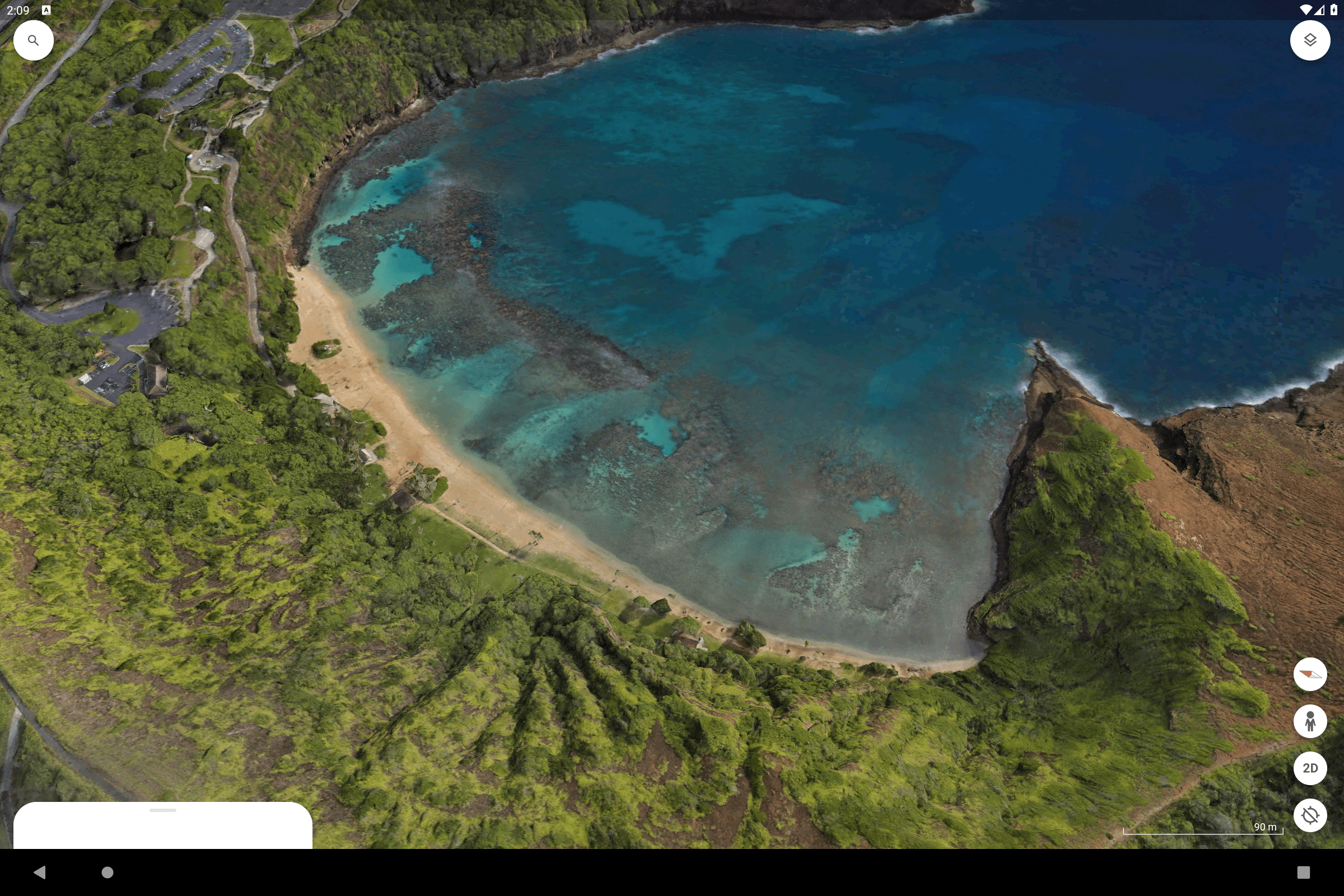
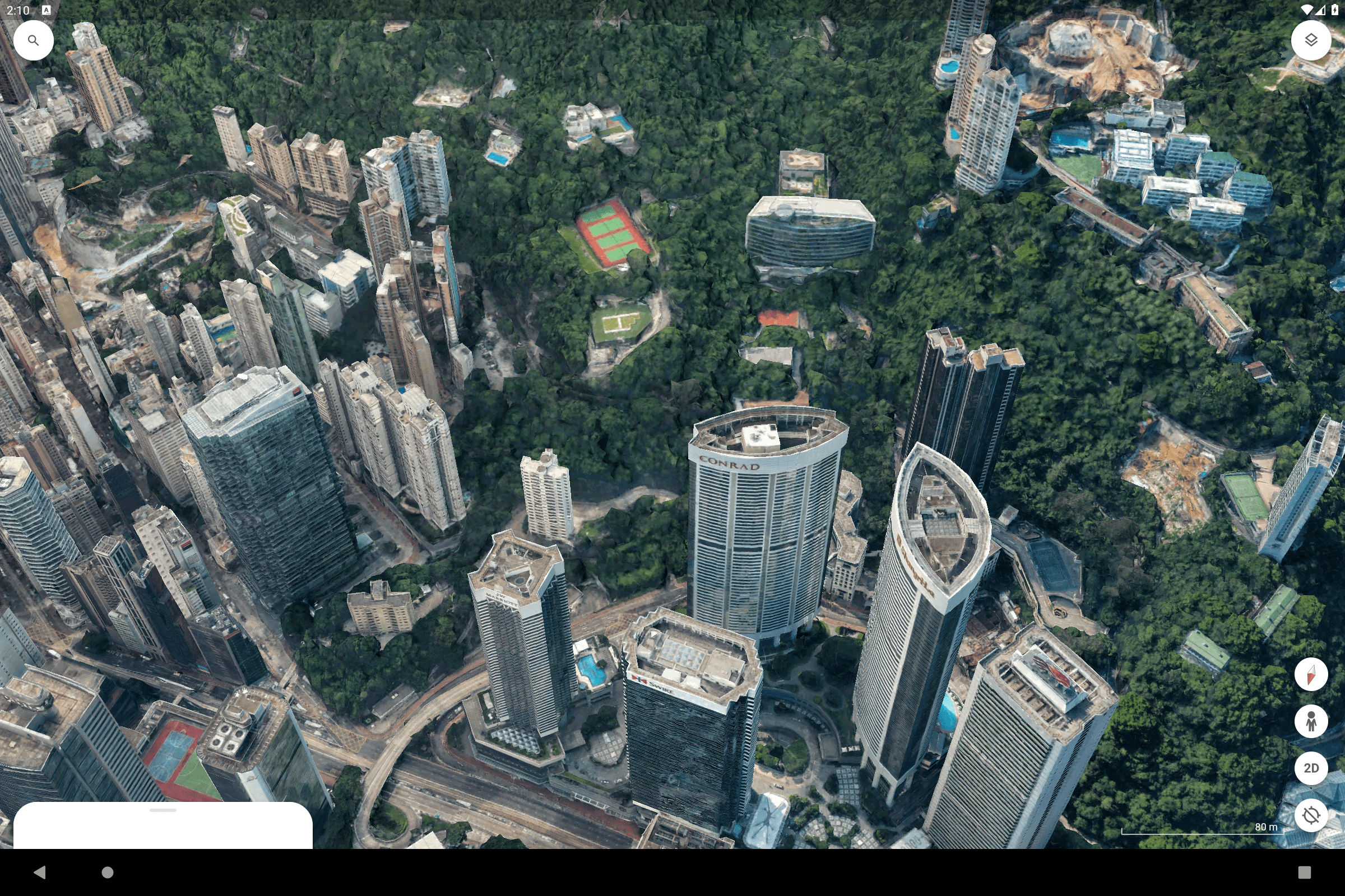
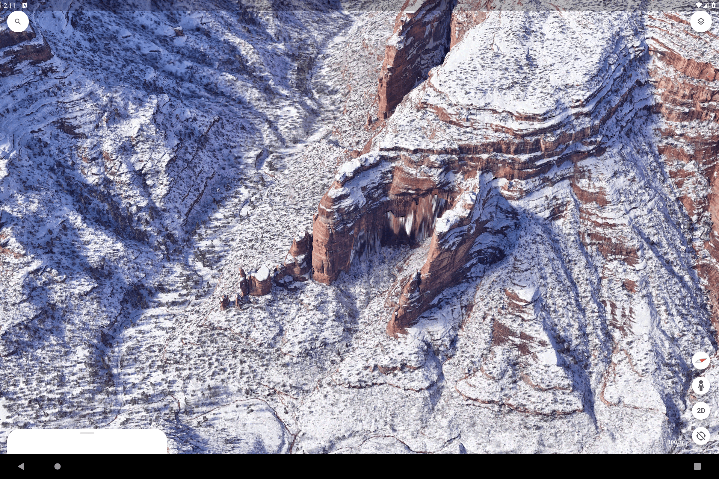
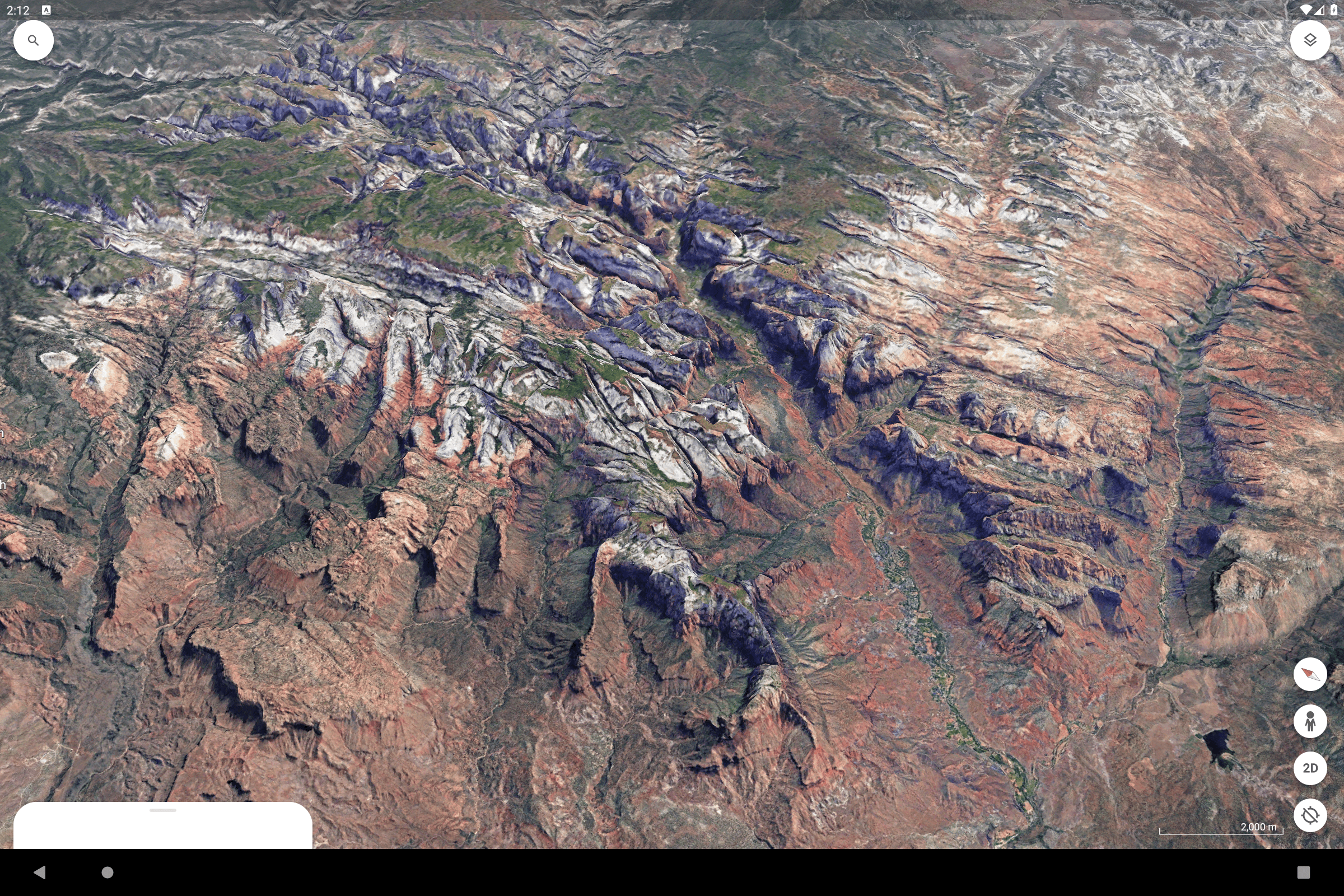
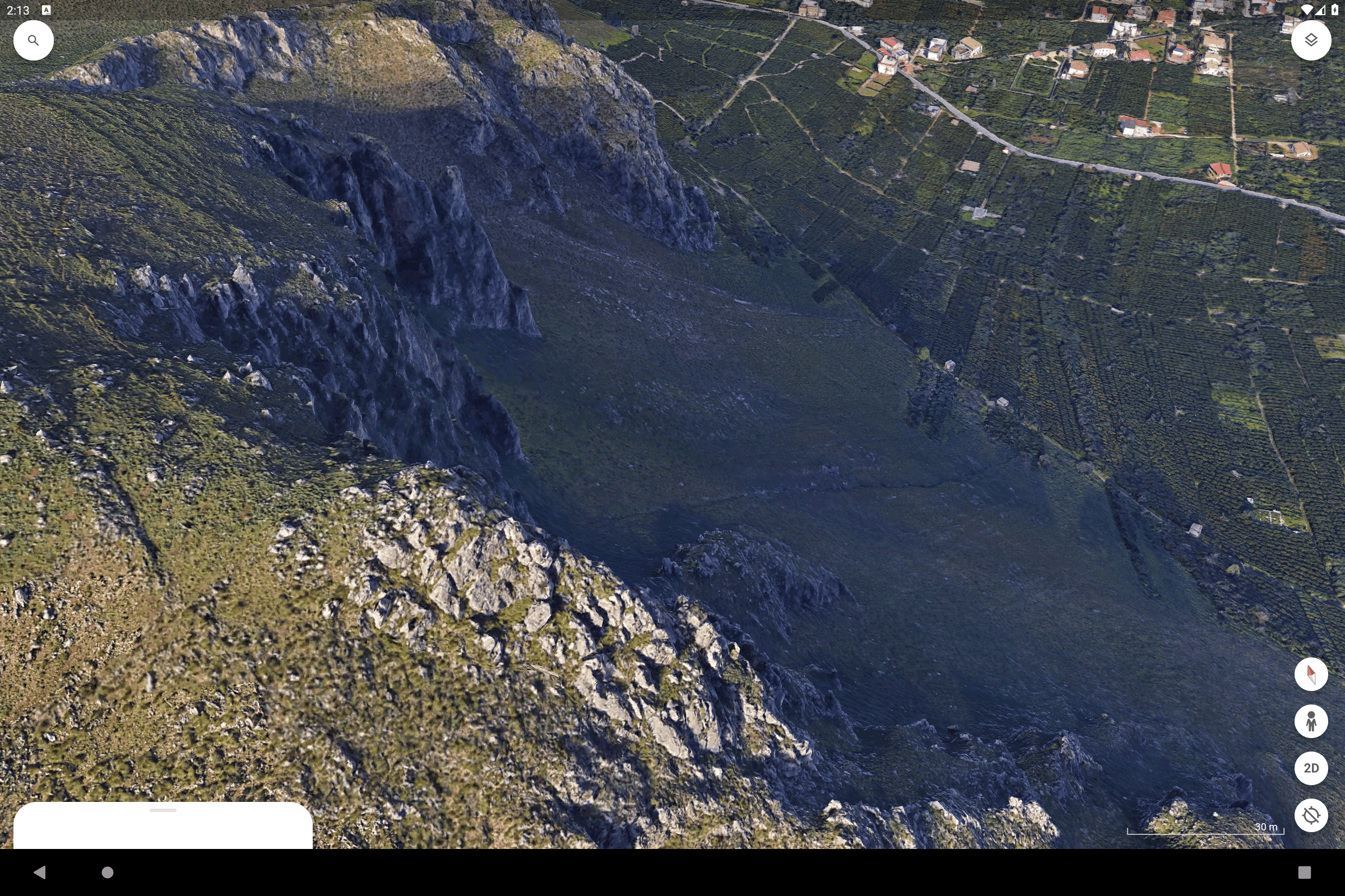
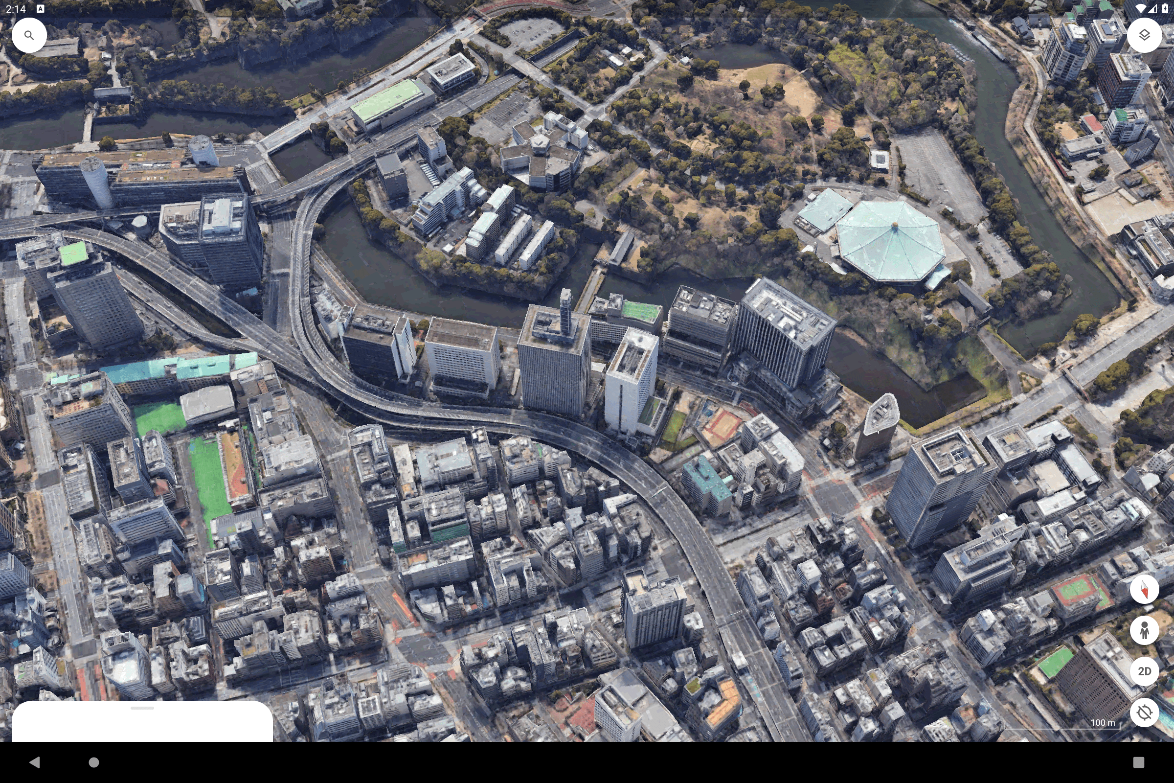
With the new Google Earth, users can work on creating and sharing interactive maps that are rich in data, all from any location. The app offers access to detailed satellite images for a bird's eye view of the world, allows users to navigate 3D representations of terrain and structures in numerous cities, and enables users to explore streets and neighborhoods with immersive 360-degree views through Street View.
Google Earth on mobile
You can install the Google Earth app for mobile, it is available on Android.
Explore the entire world from above with 3D satellite images and terrain of the entire globe and 3D buildings in hundreds of cities around the world. Recently updated/added 100 3D cities including New York City, London, Paris and Amsterdam. New high-resolution images in parts of 21 countries.
 Google Earth mobile application, on the App Store and Google Play
Zoom in on your home or anywhere else and then dive in for a 360° perspective with Street View. Go on a unique adventure by rolling the dice and jumping from place to place. And see the world from a new perspective with Voyager, a collection of guided tours from BBC Earth, NASA, National Geographic, and more.
Touch the ruler to calculate distances and areas anywhere on Earth.
Google Earth Tips
Which is the best version of Google Earth? Which one to choose?
The most efficient and simple is probably the Google Earth mobile app, but if you prefer not to install anything, just use Google Earth web (in Chrome). Only if you need advanced features should you install Google Earth Pro on your computer.
What is Google Earth Studio?
Earth Studio allows you to create animations using 3D and satellite images from Google Earth :
- Take advantage of a powerful graphical animation solution, integrated into your browser. Earth Studio gives you the tools you need to create professional content using Google Earth images.
- Keyframe animation: Earth Studio uses keyframes, just like other standard animation tools on the market. Simply move the globe, set a keyframe and repeat the process. Nothing could be easier!
- Template Project: With the different templates, you can create an orbit or fly from point A to point B very easily, even if you have no animation experience.
- Special Effects: Animate custom attributes such as the position of the sun, the camera’s field of view and other elements.
- 3D Camera Export: Easily add labels and markers to the map in post-production. Earth Studio allows you to export camera data to Adobe After Effects.
How to find a specific place in Google Earth?
To search for a location:
- Enter one or more terms in the input box and click Start Search.
- You can search by full address, or city only, or business name, or geographic coordinates (latitude, longitude) or just keywords.
How to see the street on Google Maps or Earth?
You have to use what Google Earth calls the 3D ground level view. In the software on your computer, in the side panel, under the heading “Layers”, click on “Main database” and then “3D Buildings”.
You will then be able to see the street and the buildings as if you were there!
- Version10.61.0.9
- UpdateSep 11, 2024
- DeveloperGoogle LLC
- CategoryTravel & Local
- Requires AndroidAndroid 5.0+
- Downloads286M+
- Package Namecom.google.earth
- Signaturef4f332ddae1caed108bbb92704846959
- Available on
- ReportFlag as inappropriate
-
NameSizeDownload
-
14.07 MB
-
32.86 MB
-
32.68 MB


Great for teaching and learning about places that you may not be able to travel to
Unique perspective on different locations and landscapes
3D button makes map hazy
Bottom drawer idea is terrible and now constantly freezes up during street view