
Street View & Live Earth Map - Explore & Navigate World
Unlock seamless exploration with stunning 360-degree views & real-time navigation to travel smarter and easier
- 1.4.6 Version
- 1.2 Score
- 194K+ Downloads
- In-app purchases License
- 3+ Content Rating

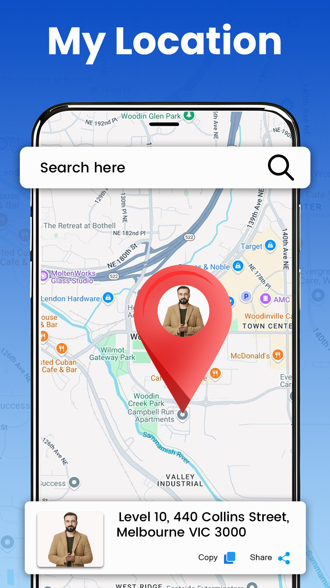
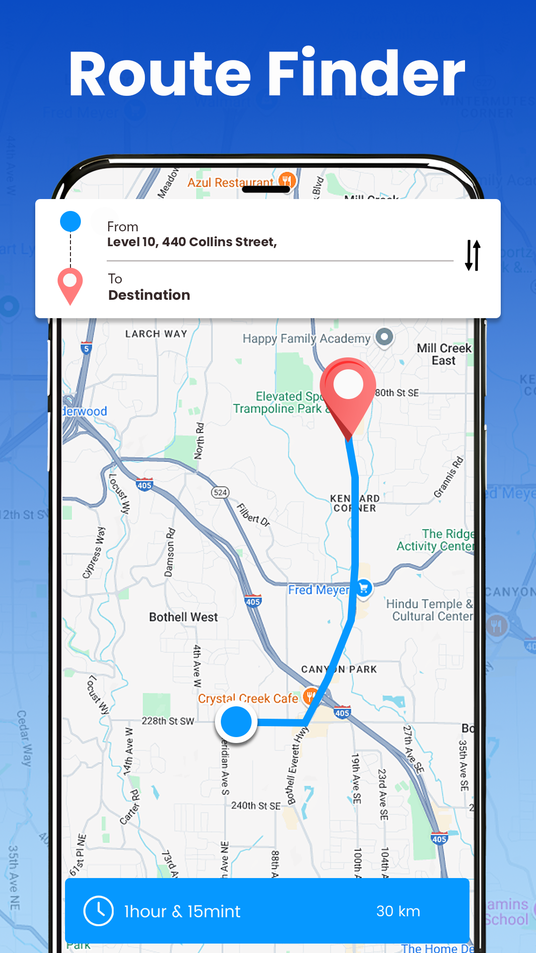
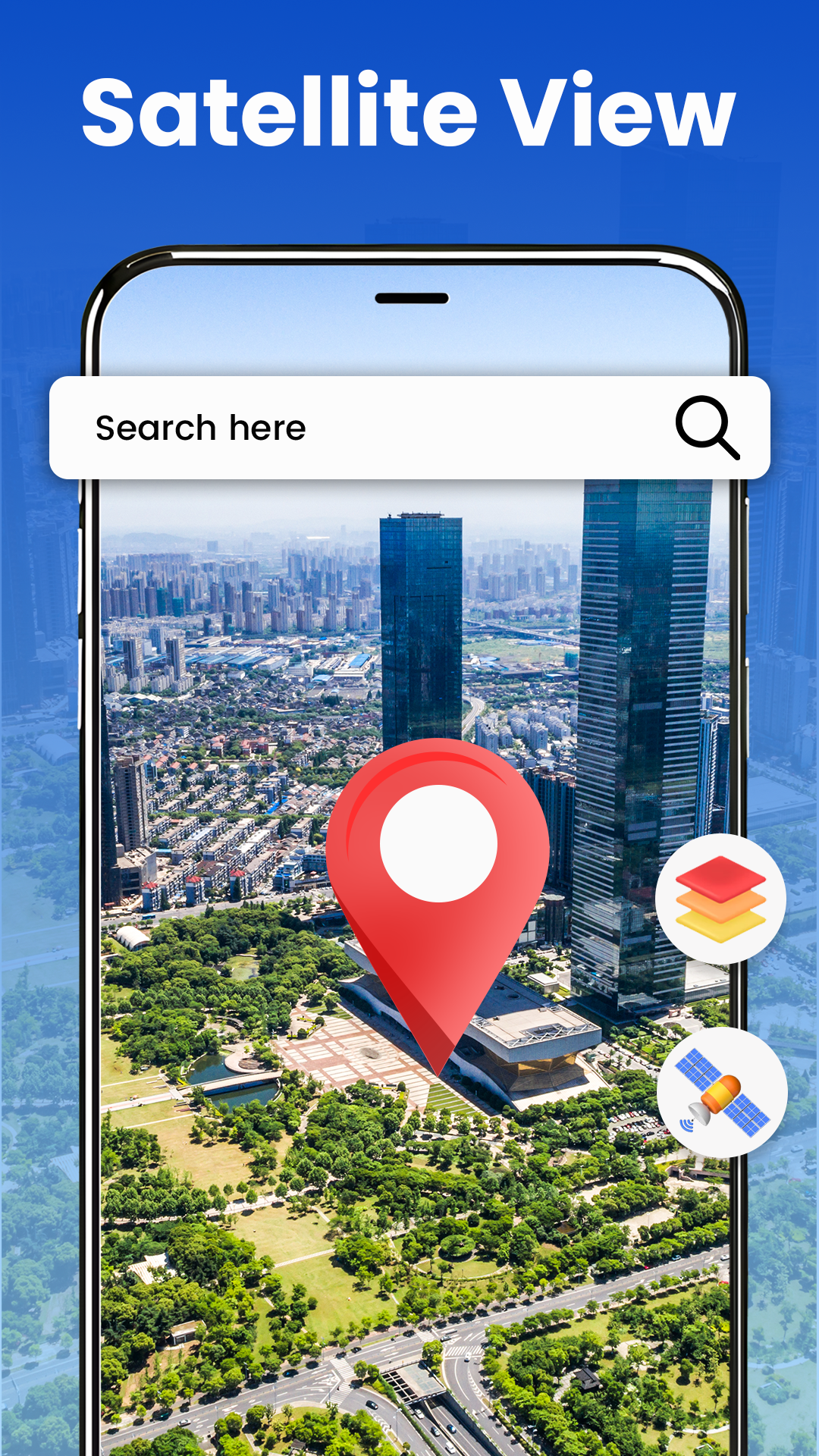
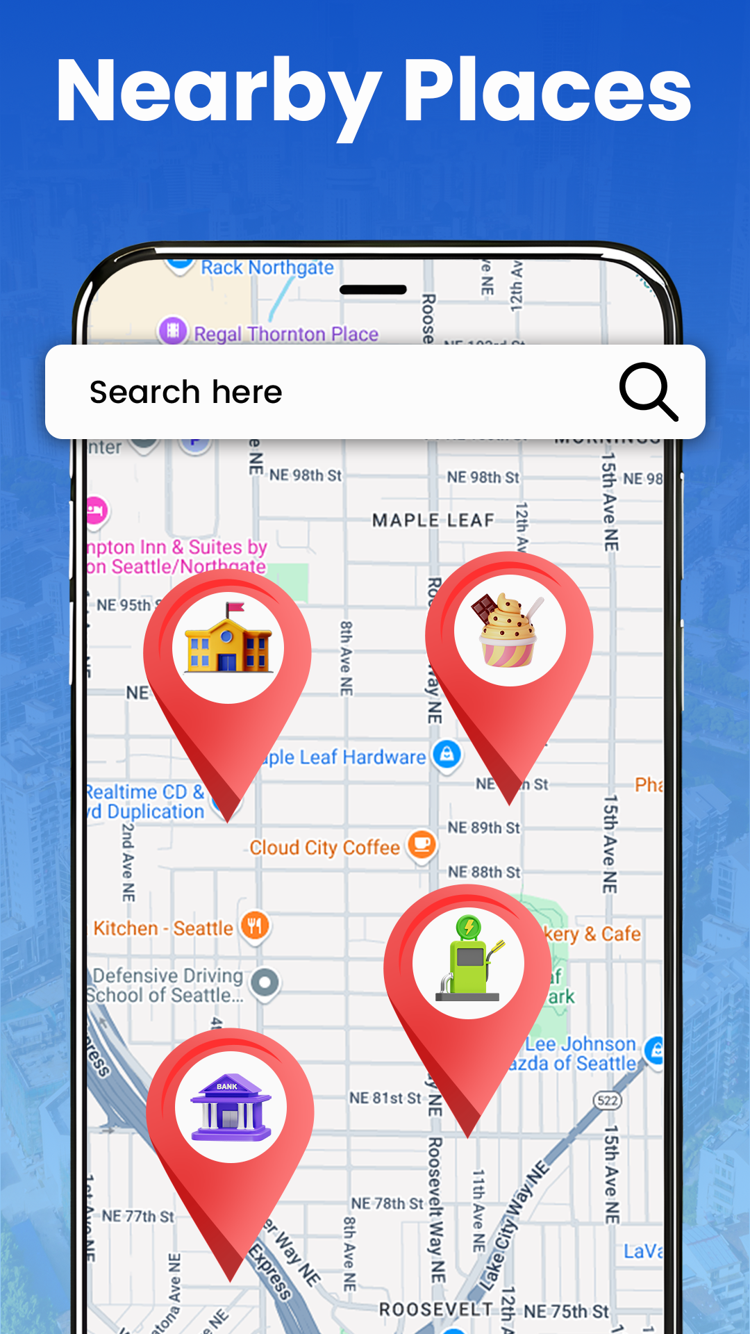
Street View & Live Earth Map
1. App Overview
Street View & Live Earth Map is a mapping and navigation app that combines panoramic street views, satellite imagery, 3D maps, and GPS-based tools. It allows users to explore geographical locations, examine streets and landmarks, and navigate to selected destinations.
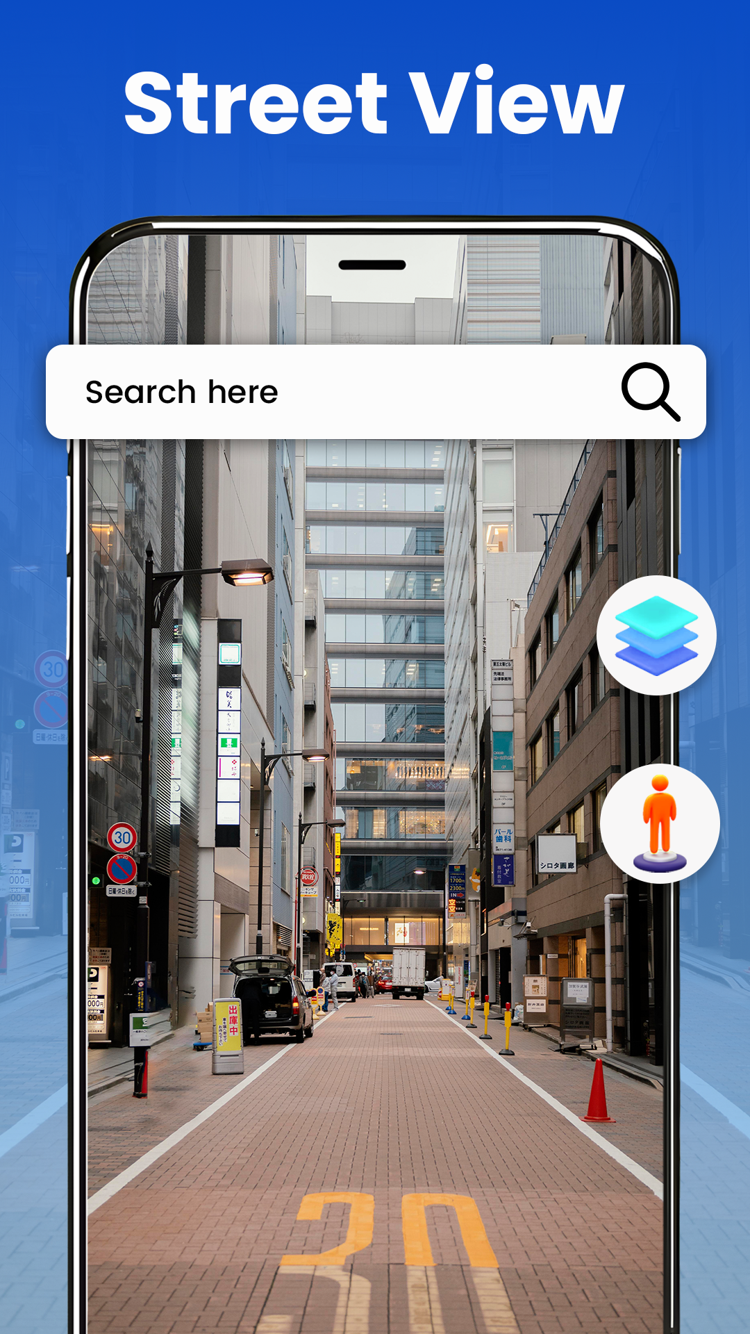
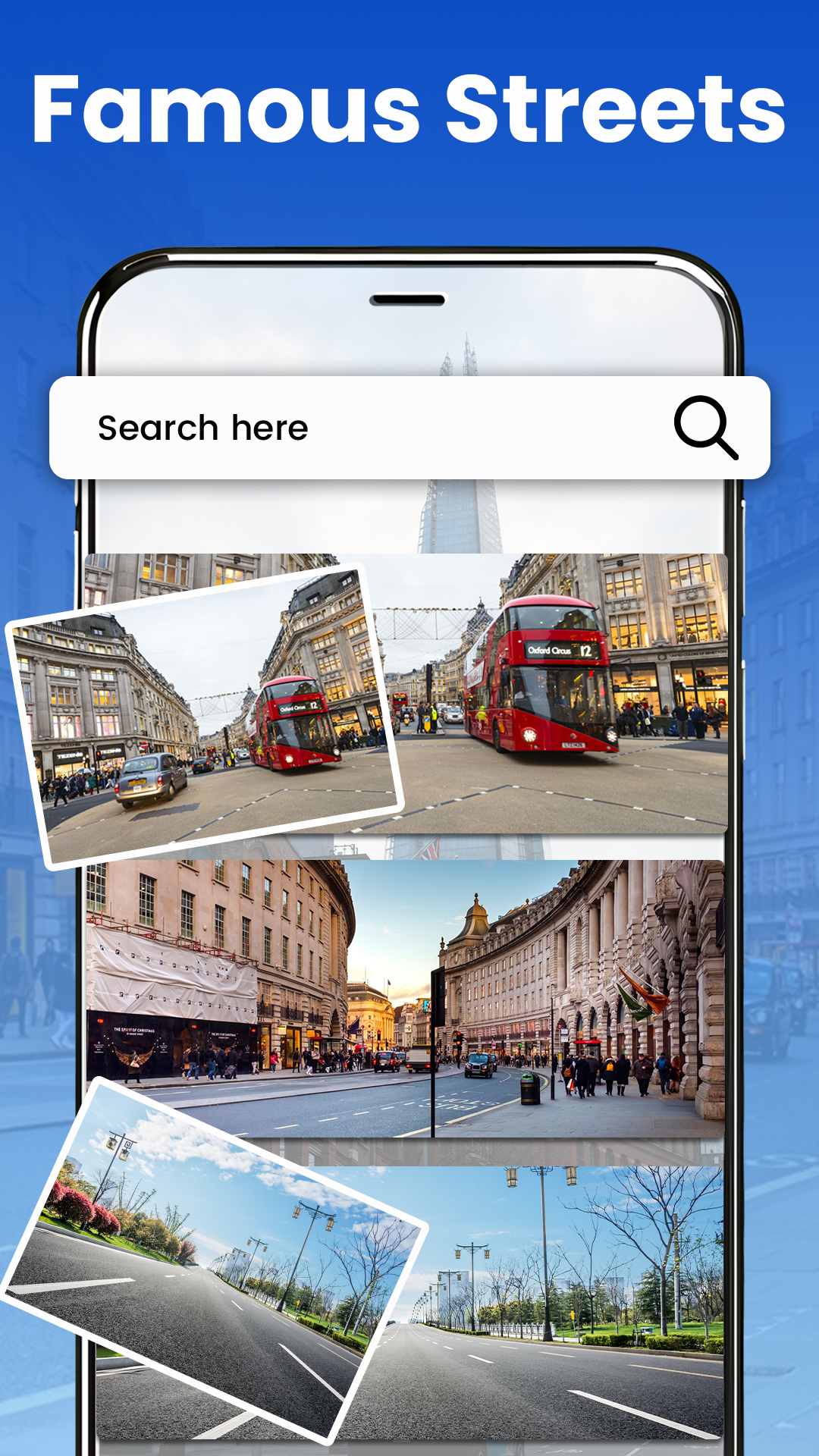
The Street View feature displays panoramic images of available locations, allowing users to look around streets, buildings, and nearby surroundings. Satellite and 3D map views offer alternative perspectives, making it easier to examine geographical features and understand the layout of unfamiliar areas.
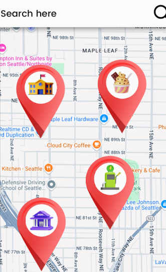
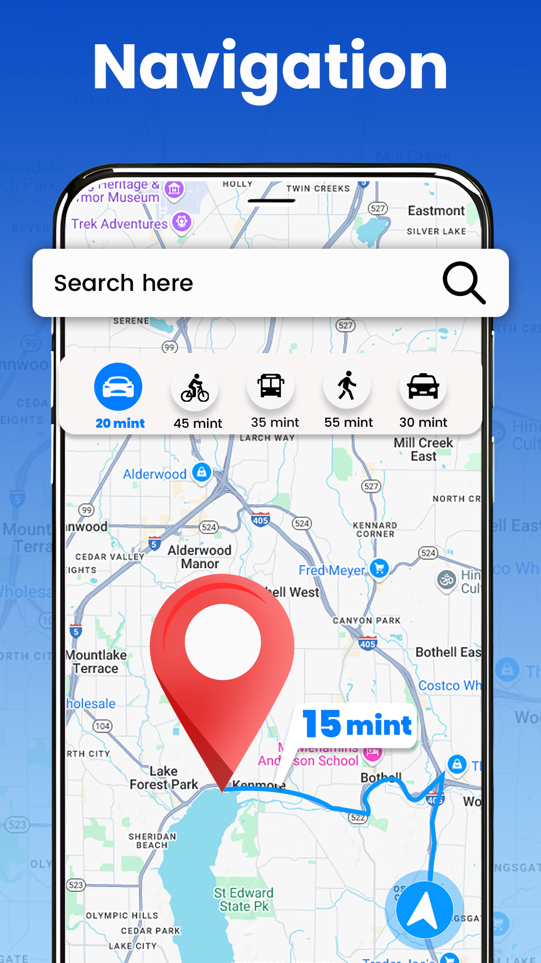
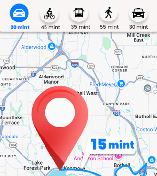
For navigation, users can enter destinations, review suggested routes, and follow turn-by-turn directions. Traffic information provides additional details when choosing a route. The My Location feature displays the user's current position, while available location-sharing options allow users to send their position to friends. The app also includes a Trip Planner for organizing journeys and GPS tools such as a digital compass for orientation.
By combining map exploration, panoramic imagery, and navigation tools, Street View & Live Earth Map supports both virtual sightseeing and everyday travel.
2. Key Features
360° Street View
View streets, buildings, and landmarks through panoramic 360-degree imagery. Users can look around selected locations and examine their surroundings before visiting.
GPS Navigation
Get directions to selected destinations with turn-by-turn guidance. Review suggested routes, distances, and traffic conditions when planning a journey.
Trip Planner
Organize journeys by reviewing destinations, routes, and travel information. The planner can assist with both short trips and longer journeys involving multiple stops.
My Location
Display your current position on the map and explore nearby places. Available location-sharing options let you send your position to friends when arranging meetups or traveling together.
GPS Tools
Use the digital compass to check your direction and GPS-based tools to monitor your position. These utilities provide additional orientation support when navigating unfamiliar surroundings.
3D Maps and Satellite Imagery
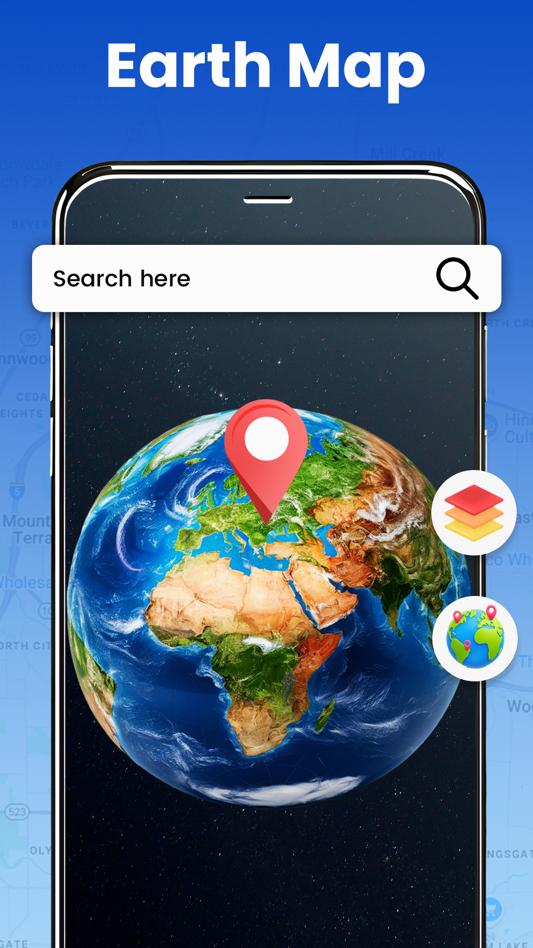
Switch between satellite imagery and 3D map views to examine geographical areas from different perspectives. View surrounding terrain, streets, and buildings in greater detail.
3. How to Use
Opening Street View
Launch the app and search for the location you want to explore. Select the Street View option or an available panoramic preview to open the scene. Not all locations have Street View coverage.
For Google Maps, you can also access Street View separately. On a mobile device, press and hold a location to drop a pin, then select the Street View preview if available. On a computer, drag the yellow Pegman icon onto a highlighted street.
Exploring Panoramic Images
Once a panoramic scene is open, swipe across the screen on a mobile device to change your viewing direction. On a computer, click and drag the image to look around. Use available directional arrows to move along the street and zoom controls to examine specific details.
Finding a Route
Open the navigation section and enter your starting point and destination. Review the suggested routes, including their distances and estimated travel conditions. Select your preferred route and follow the navigation instructions.
Checking Your Current Position
Open My Location to display your position on the map. You can then explore nearby places and check the surrounding area. To share your position, select the available location-sharing option and follow the on-screen instructions.
Viewing Historical Street Images
Google Maps provides historical Street View imagery for selected locations. On a computer, open a Street View scene and select "See more dates" when available. Browse the available images to compare how the location has changed over time.
4. Frequently Asked Questions
Q1: Is Street View available in every location?
No. Street View coverage varies by region. Major cities and popular tourist destinations generally have more extensive imagery, while remote areas and smaller communities may have limited coverage. Check the map for available Street View previews.
Q2: Why can't I view Street View for certain streets?
Some roads and locations have not been covered by panoramic imagery. Try selecting a nearby street or another point in the same area. If no preview appears, imagery may not be available for that location.
Q3: Can I view historical images of a location?
Yes. Google Maps provides historical Street View images for selected locations. Open Street View on a computer and select "See more dates" if the option is available.
Q4: What should I do if Street View images fail to load?
Check your internet connection first, as panoramic images require an active connection. If the connection is working normally, close and reopen the app. You can also check whether an updated version is available.
Q5: How do I share my current location?
Open My Location and look for the location-sharing option. If supported by your app version, follow the on-screen instructions to share your position with friends or other contacts.
Q6: Why does my GPS show an incorrect position?
GPS accuracy can be affected by weak signals, tall buildings, indoor environments, and underground locations. Make sure location services are enabled and the app has permission to access your device's location. Moving to an open area may improve positioning accuracy.
- Version1.4.6
- UpdateNov 06, 2026
- DeveloperBlue Skytech
- CategoryMaps & Navigation
- Requires AndroidAndroid 7.0+
- Downloads194K+
- Package Namecom.gpsnavigation.satellitemap
- Signatured734c57ca633b63e1d1638efef57de52
- Available on
- ReportFlag as inappropriate
-
NameSizeDownload
-
47.25 MB
-
44.25 MB
-
22.99 MB










Realistic visual experience
Rich and intuitive information
Multi-platform support
Wide range of applications
Limited coverage
Privacy issues
Lack of timely data updates
High network requirements