
Map of air alarms of Ukraine - Ukraine alert map & notifications
Stay informed with real-time air alerts, threat updates & an interactive map of Ukraine’s safety zones at your fingertips.
- 1.0.28 Version
- 2.0 Score
- 205K+ Downloads
- Free License
- 3+ Content Rating

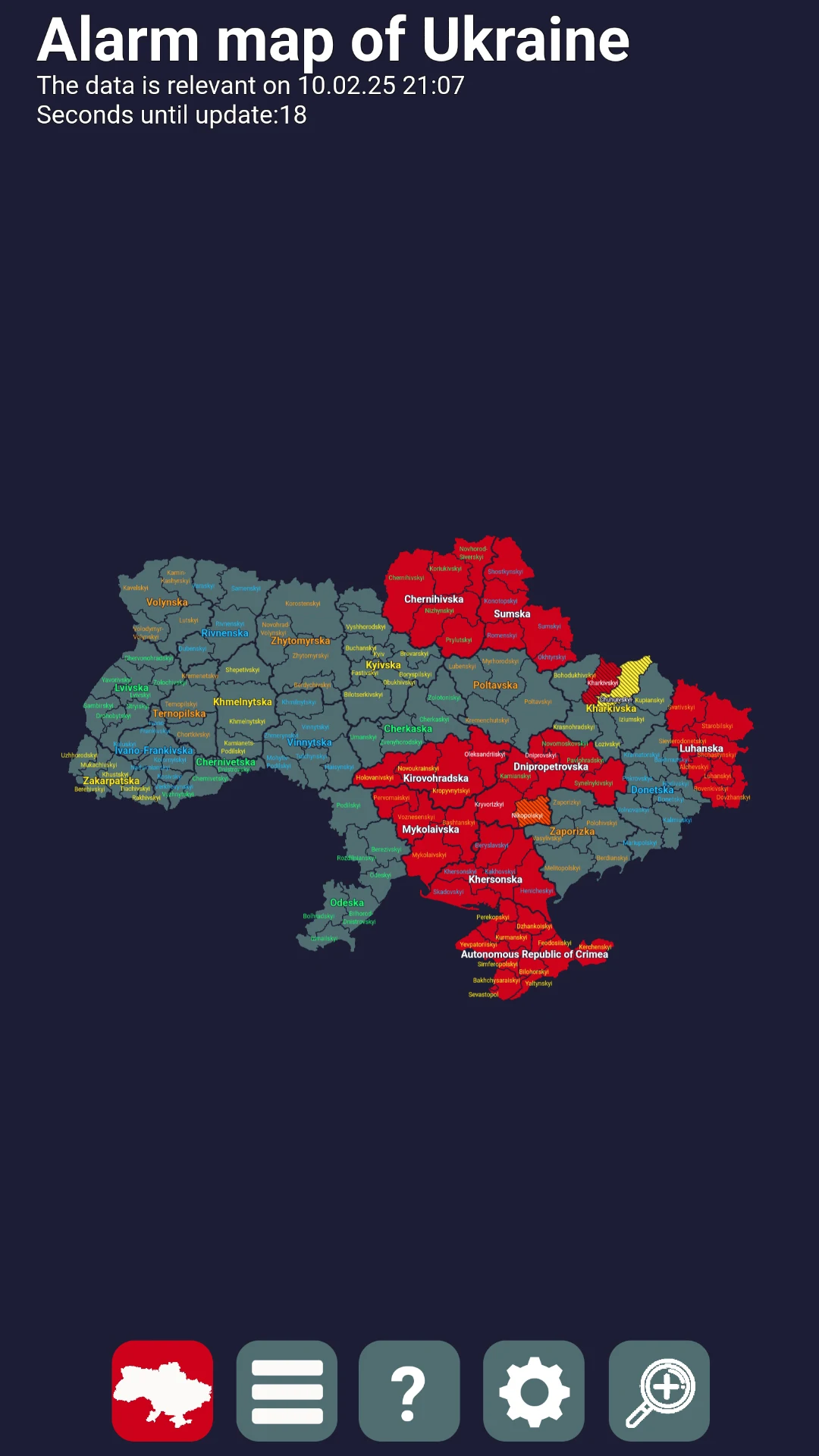
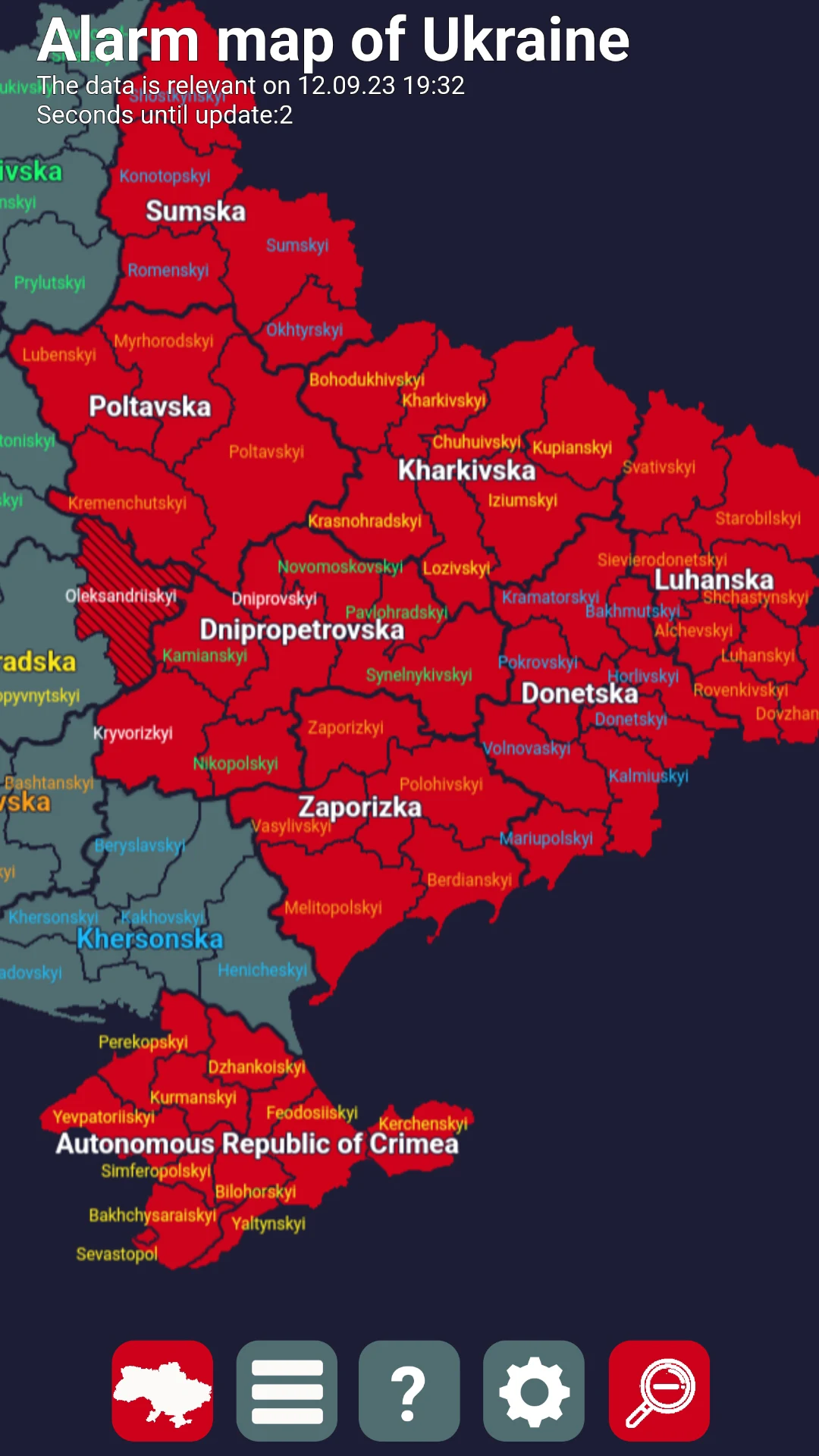
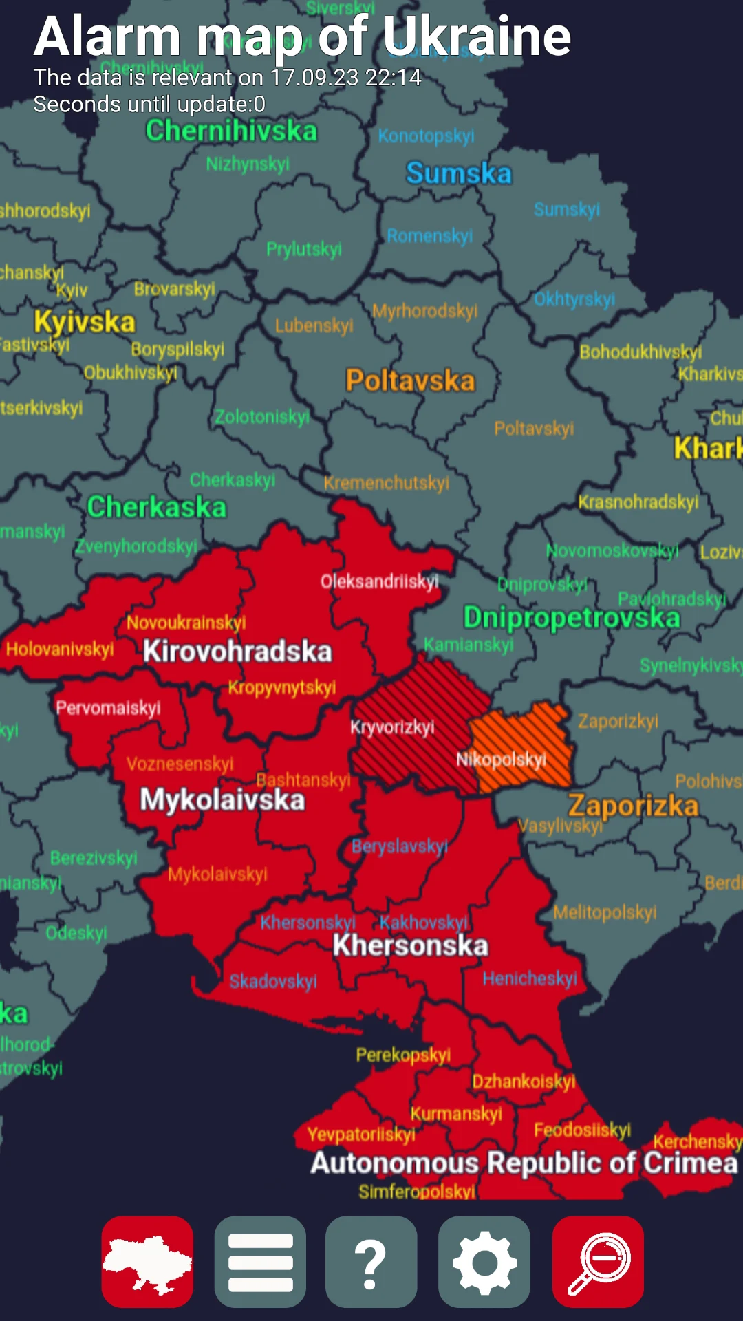
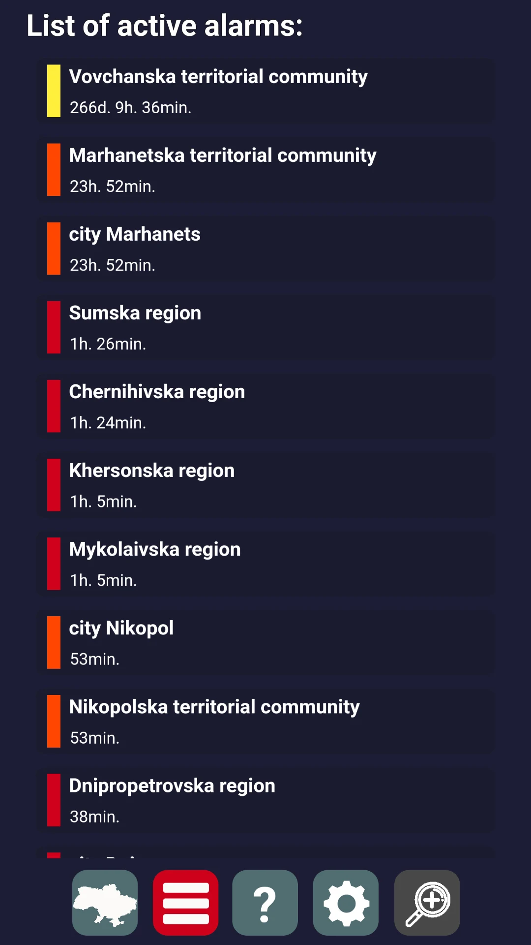
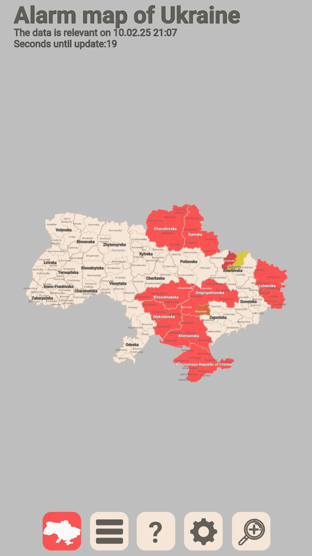
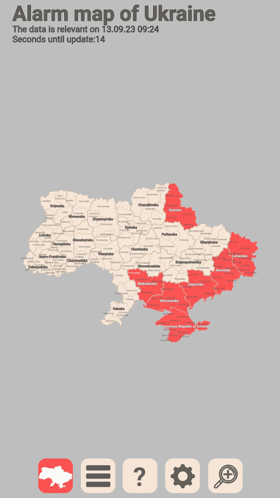
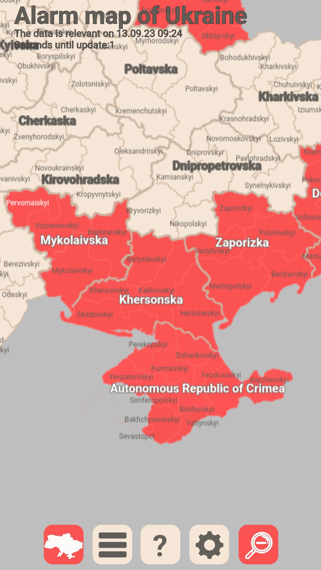
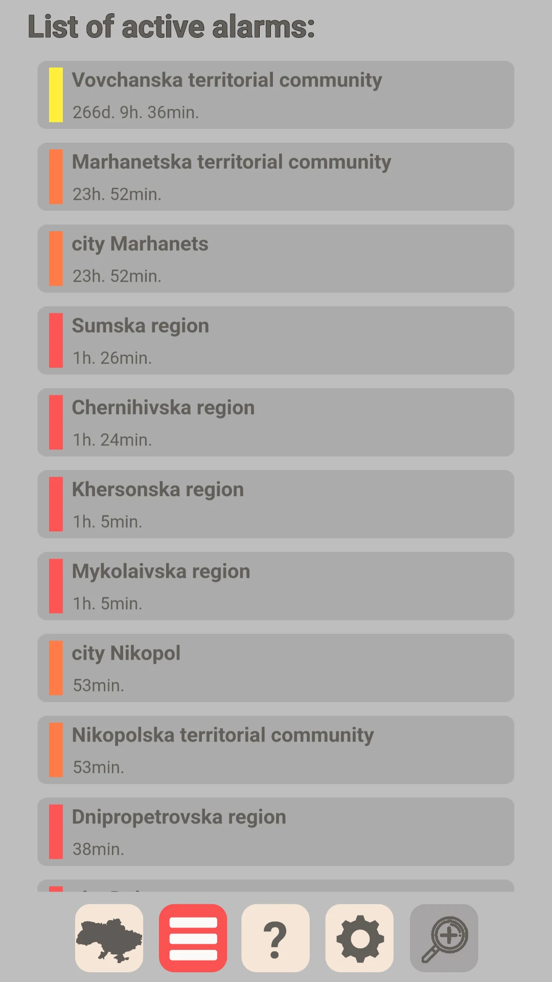
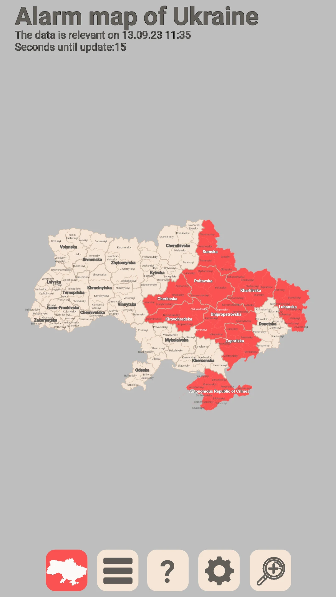
The air alert map of Ukraine provides a visual representation of the areas or regions where alerts are currently in effect, along with the type of alert and its specified duration.
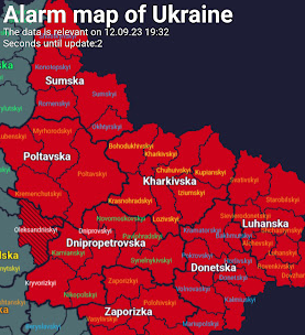
The application categorizes alerts into these types:
- Air alert: represented in red on the map.
- Artillery threat: shown in orange on the map.
- Threat of street fighting: indicated in yellow on the map.
- Chemical threat: marked in lime (green) shade on the map.
- Radiation threat: illustrated in purple on the map.
If an alert is issued for a specific community but not for the larger district or area it belongs to, that district will be depicted with hatching and a color corresponding to the type of alert.
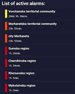
Additionally, the application features a list mode for alarms, allowing users to view current alert information in a list format, which includes:
- The name of the locality where the alert has been declared.
- The type of alert that has been announced (air alert, artillery threat, street fighting threat, chemical threat, radiation threat) in that locality.
- The length of time the alert will remain in effect in the specified locality.
The application displays the complete map of Ukraine, offering zoom functionality for detailed viewing, and includes options for light and dark themes.
Regions and districts under alert are highlighted in specific colors (red, orange, yellow, lime, purple) based on the alert type. Users can switch to list mode to see the active alerts by region, including their types and durations.
The program offers several settings, such as:
- Adjusting resolution according to screen size: modifies the app's resolution to match the device's screen size, with the default setting enabled; this can be disabled if elements overlap.
- Displaying region outlines: allows the user to toggle the visibility of thick borders between regions.
- Updating interval for the map: allows the adjustment of the automatic refresh rate of the alert map from 30 seconds to 20 seconds.
- Hiding district names: conceals the names of Ukrainian districts without affecting functionality.
- Displaying aggressor countries on the map: reveals the maps of Belarus and Russia to enhance visibility of potential paths for aerial objects.
- Showing memes related to aggressor countries: presents random meme phrases overlaid on the maps of Russia and Belarus, such as "Now I'll show you where the attack on Belarus was being prepared...".
- Language option: allows switching the language between Ukrainian and English.
- Theme selection: enables changing the theme from dark to light.
App Experience:
The Ukraine Air Warning Map app visually presents the coverage area, type, and duration of various air warnings. Different warnings correspond to specific colors such as red, orange, yellow, green, and purple. If an warning is triggered only in a community, the corresponding region will be marked with a shadow in the corresponding color. The app supports map zooming, switching between light and dark themes, and can also switch to list mode to view specific information about warnings in each region.
Furthermore, users can adjust various settings according to their needs, such as app resolution, region outline display, and map refresh rate. They can also choose to display maps of surrounding countries, switch between Ukrainian and English language, and some fun settings, such as displaying related memes, can be enabled as needed. Overall, the app is flexible and allows users to clearly and conveniently grasp the dynamics of various air warnings.
Related Questions and Answers:
- **Q**: What do the different colors on the air raid siren map mean?
- **A**: Red indicates air raid sirens, orange indicates artillery threats, yellow indicates street fighting threats, green indicates chemical threats, and purple indicates radiation threats.
- **Q**: If a neighborhood is under an alert but the larger area it belongs to is not, how will the map display it?
- **A**: The area will be shaded and colored according to the type of alert.
- **Q**: How can I view current alert information for each region?
- **A**: You can switch to list view to see which areas are under alert, as well as the type and duration of the alert.
- **Q**: Can I zoom in on the map to see more detailed information?
- **A**: Yes, the app displays the full map of Ukraine, and you can zoom in for a more detailed view.
- **Q**: Can I adjust the map's automatic refresh rate?
- **A**: Yes, the map's automatic refresh rate can be adjusted from 30 seconds to 20 seconds.
- **Q**: What are the map settings?
- **A**: This includes adjusting the resolution based on screen size, displaying region outlines, adjusting the map update interval, hiding region names, displaying aggressor countries on the map, displaying memes related to the aggressor country, language options, theme selection, and more.
- **Q**: Can the map language be switched?
- **A**: Yes, it can be switched between Ukrainian and English.
- Version1.0.28
- UpdateNov 02, 2026
- DeveloperJurfix
- CategoryMaps & Navigation
- Requires AndroidAndroid 5.1+
- Downloads205K+
- Package Namecom.jurfixgame.airraidmap
- Signature193af4ba0cdfb074dd9a95b297d421ba
- Available on
- ReportFlag as inappropriate
-
NameSizeDownload
-
6.69 MB
-
6.69 MB
-
6.11 MB








Comprehensive and intuitive information
Rich and practical features
Real-time updates
Depends on electricity and internet.
Source: Unofficial
Details to be finalized