
GPS Camera with Date and Time - GPS photography & timestamp
Capture perfect moments with GPS accuracy & timestamp features, preserving your adventures in style and detail.
- 1.0.5 Version
- 2.2 Score
- 519K+ Downloads
- Free License
- 3+ Content Rating

GPS Camera with Date and Time
1. App Overview
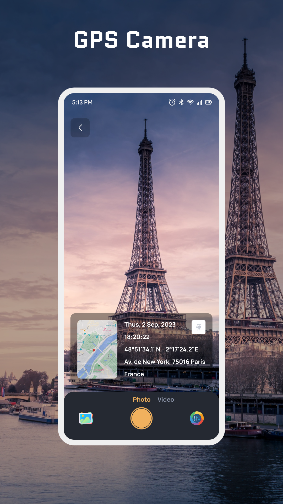
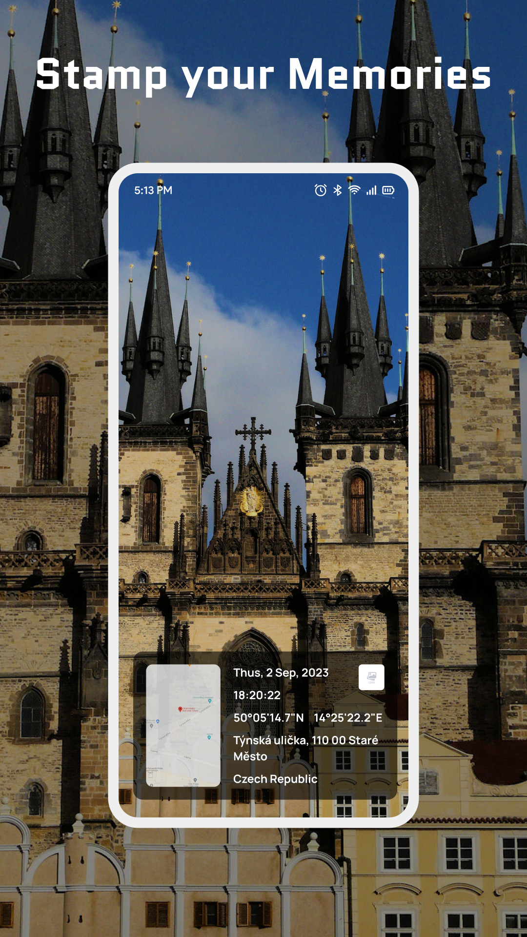
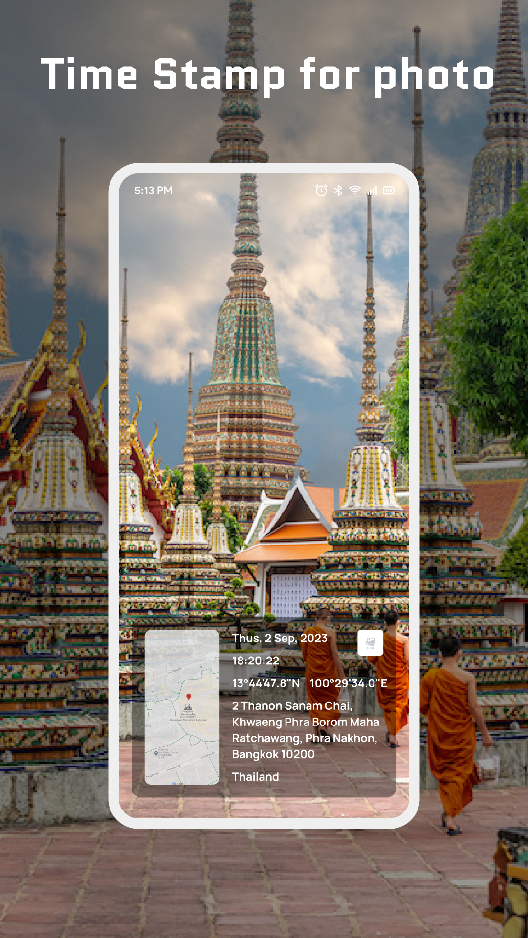
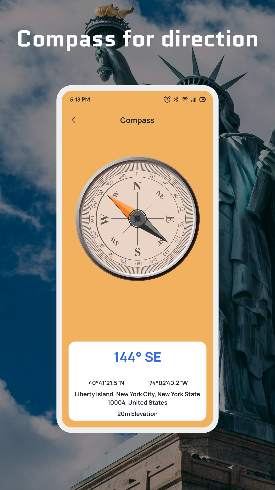
GPS Camera with Date and Time is a photography app that adds date, time, and location information directly to photos. It uses your phone's GPS to record where and when each picture is taken, displaying details such as geographic coordinates, shooting dates, and exact times. This makes it useful for documenting trips, recording daily activities, and keeping track of specific places and events.
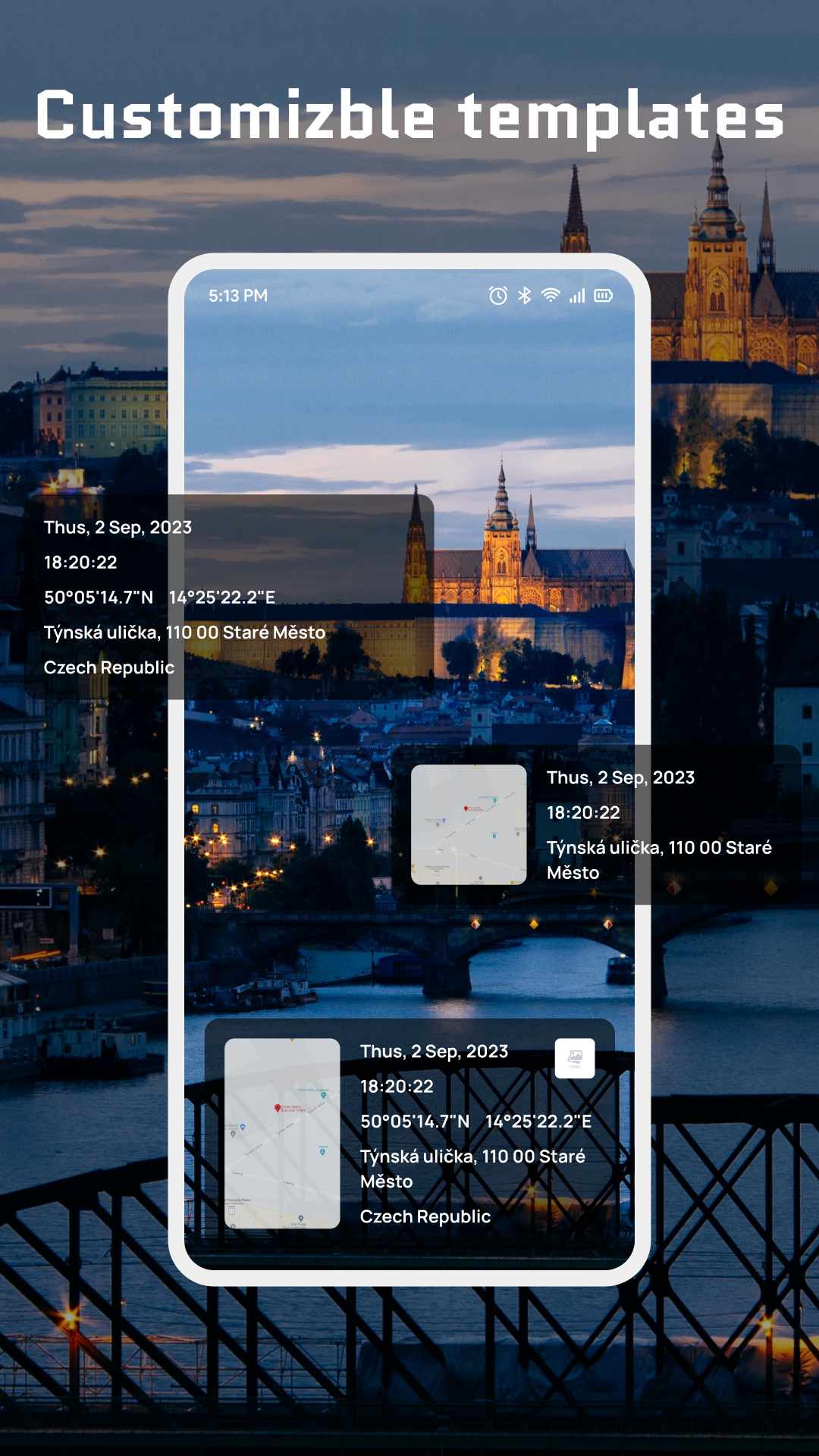
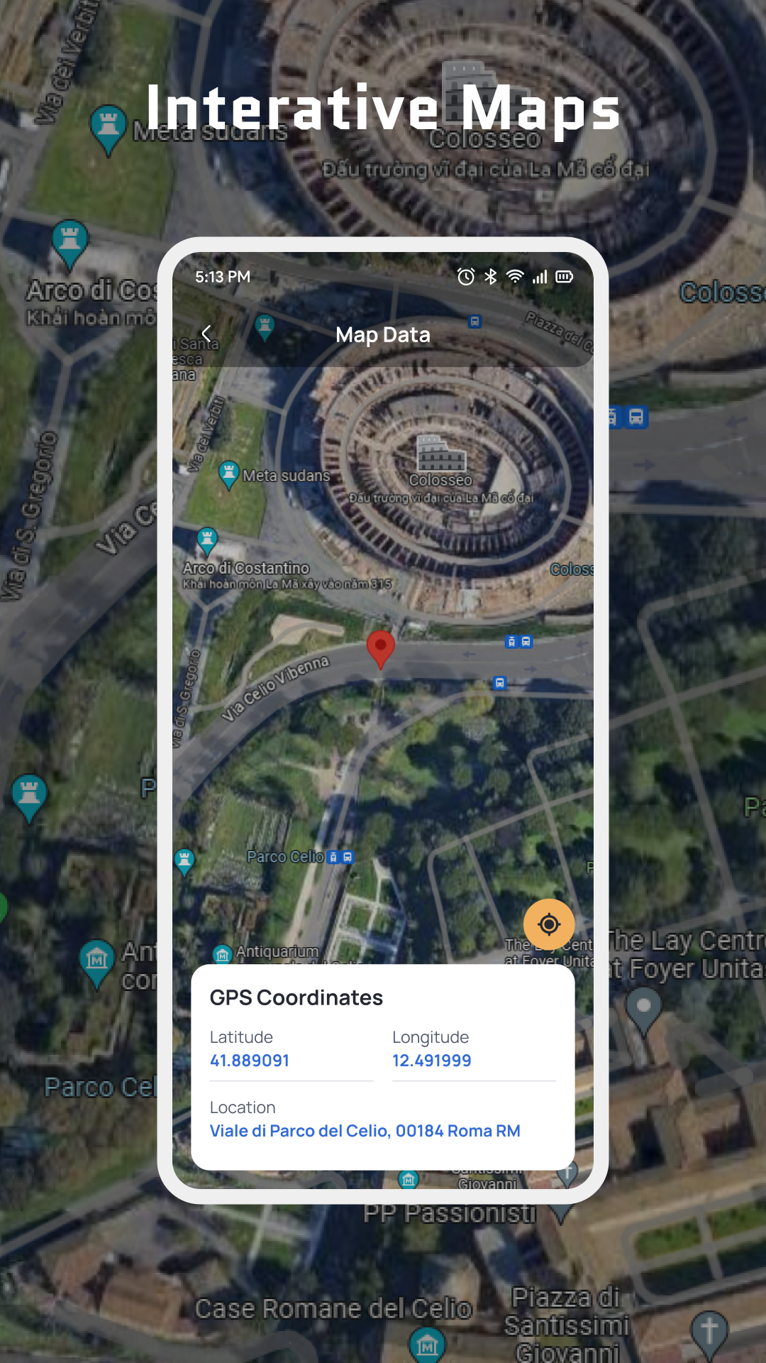
The app offers different stamp styles and templates to customize how this information appears on photos. Users can adjust fonts, colors, and layouts to create a preferred look. Map visuals can also be added to photo stamps, providing geographical context for captured moments. Its interactive photo map lets users browse recorded shooting locations and review where previous pictures were taken.
With its combination of GPS tracking, timestamping, and customizable photo stamps, GPS Camera with Date and Time provides a practical way to document experiences and preserve location details alongside photographs.
2. Key Features
GPS Location Stamps: Add geographic coordinates and location details directly to photos.
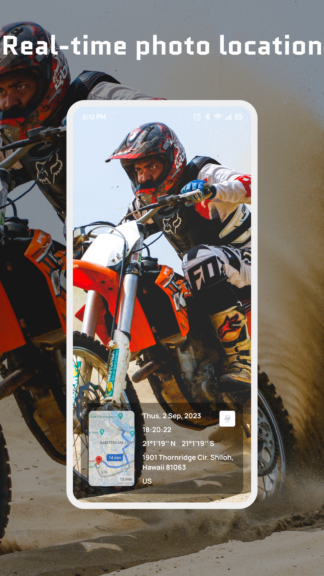
Date and Time Stamps: Display shooting dates and exact times, including seconds.
Customizable Stamp Designs: Change fonts, colors, and layouts to personalize photo information.
Map Integration: Add map visuals to photos to provide geographical context.
Interactive Photo Map: Browse recorded shooting locations through an interactive map.
Multiple Templates: Choose from different stamp designs to suit different photography needs.
3. How to Use
Enable Location Access: Turn on your device's location services and grant the app permission to access GPS information.
Take Photos: Open the in-app camera and capture pictures with the selected date, time, and location stamps.
Customize Stamps: Adjust fonts, colors, and layouts to change the appearance of the information displayed.
Select a Template: Browse the available designs and choose a preferred stamp style.
View Photo Locations: Open the interactive photo map to explore the locations associated with your pictures.
Edit Photos: Use the available editing tools to adjust stamp details, change their appearance, or add custom text.
4. Frequently Asked Questions (FAQs)
Q1: Why is the GPS location on my photos inaccurate?
A: Check that location services are enabled and the app has permission to access your device's location. Waiting for a stable GPS signal before taking pictures can improve accuracy. Indoor environments and tall buildings may interfere with GPS reception.
Q2: Can I customize the information displayed on my photos?
A: Yes. You can change the fonts, colors, and layouts of date, time, and location stamps. You can also choose different templates and add map visuals where supported.
Q3: How can I find the locations of previously taken photos?
A: Open the interactive photo map to browse the shooting locations recorded in your pictures. You can use it to review places captured during previous trips and activities.
Q4: Can I edit stamps after taking a picture?
A: The available editing tools allow you to adjust supported stamp details, change their appearance, and add custom text. The editing options may vary depending on the information available for each photo.
Q5: Does the app require an internet connection?
A: GPS can determine your location without mobile data, but map features may require an internet connection to load geographical information.
Q6: Does using GPS drain the battery?
A: Using GPS and the camera for extended periods can increase battery consumption. Closing the camera when you finish taking pictures can help reduce power usage.
- Version1.0.5
- UpdateNov 09, 2026
- DeveloperLUCKY YOUTH AND FAMILY SERVICES INC
- CategoryTravel & Local
- Requires AndroidAndroid 6+
- Downloads519K+
- Package Namecom.geotag.timestamp.gpsmapcamera.gpsphotolocation
- Signaturef770cb8ecd4b7d81e37f601b89539b91
- Available on
- ReportFlag as inappropriate












Precise location tracking automatically marks photo locations and times, helping users record memories;
Highly customizable, allowing users to change stamp colors, fonts, and templates to suit different scenarios;
Supports map tracking, making it easy to organize itineraries while traveling; Simple operation, easy for beginners.
Relying on GPS signals, location may be inaccurate or loading slowly indoors or in mountainous areas where signals are weak;
Some functions may require an internet connection; maps cannot be updated or data synchronized offline;
The free version may contain intrusive ads; advanced templates or features may require payment;
Modifying the location of photos later is relatively complicated.