
SityTrail hiking trail GPS - Trail recording & navigation
Embark on global adventures, capturing trails & sharing them with features that elevate every outdoor experience!

- 12.16.0.15 Version
- 3.0 Score
- 218K+ Downloads
- In-app purchases License
- 3+ Content Rating

About SityTrail hiking trail GPS
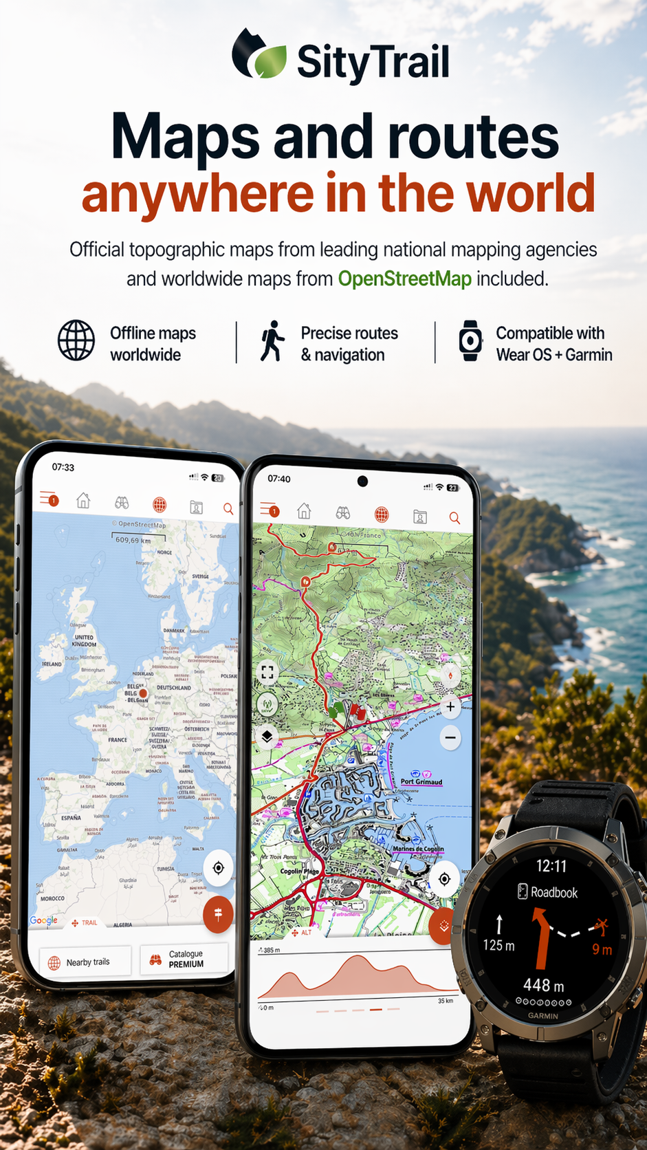
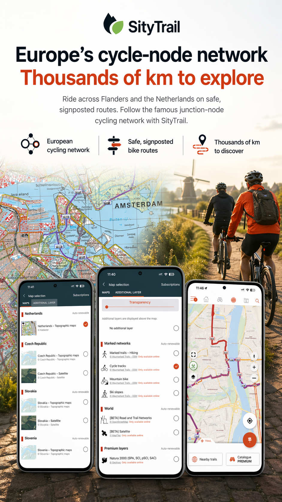
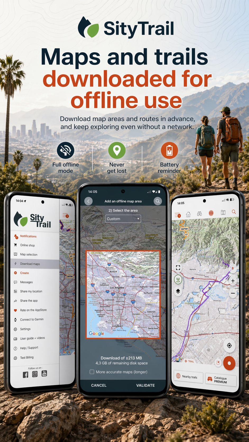
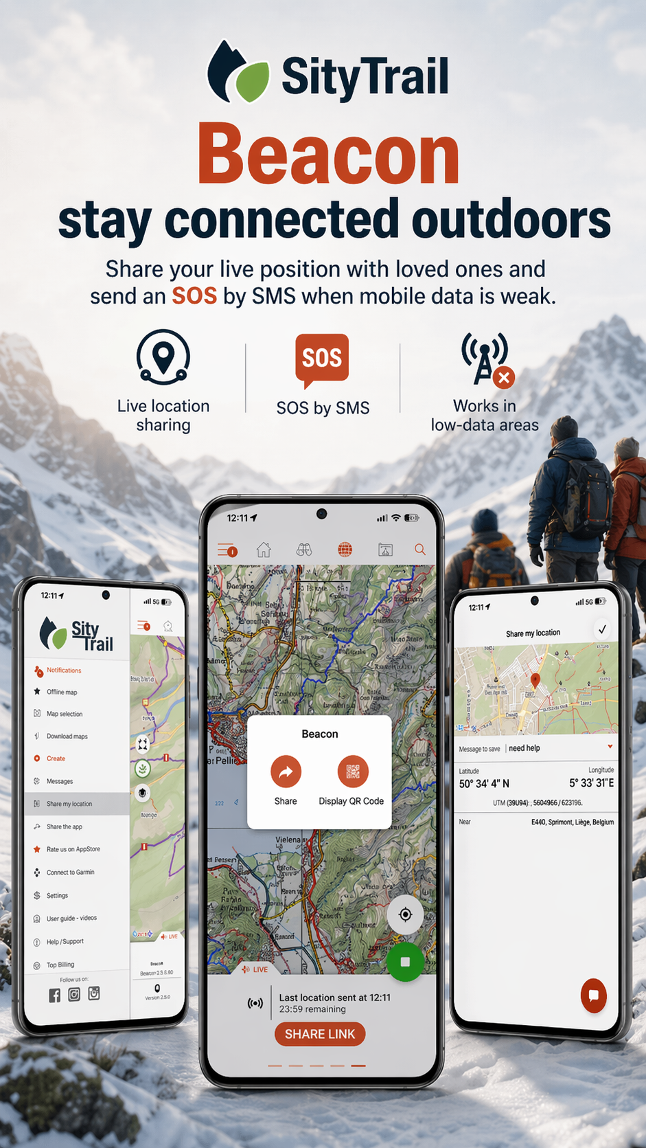
SityTrail hiking trail GPS is a GPS navigation app for hiking, walking, and cycling, with access to trails around the world. It records outdoor activities, tracks performance, and lets users document their journeys with high-definition, geo-tagged photos.
The app measures distance, kilometer-effort, average speed, calories burned, and altitude changes. Its navigation tools include off-route alerts and spoken notifications about nearby points of interest.
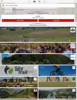
A free account supports trail backups and synchronization across multiple devices. Users can also create routes and points of interest through the SityTrail website and organize saved content into personal lists. The PREMIUM subscription adds offline topographic maps, access to a public trail catalog, voice guidance at intersections, and community features.
Key Features
GPS Activity Recording: Record hiking, walking, and cycling routes, with the option to attach high-definition, geo-tagged photos.
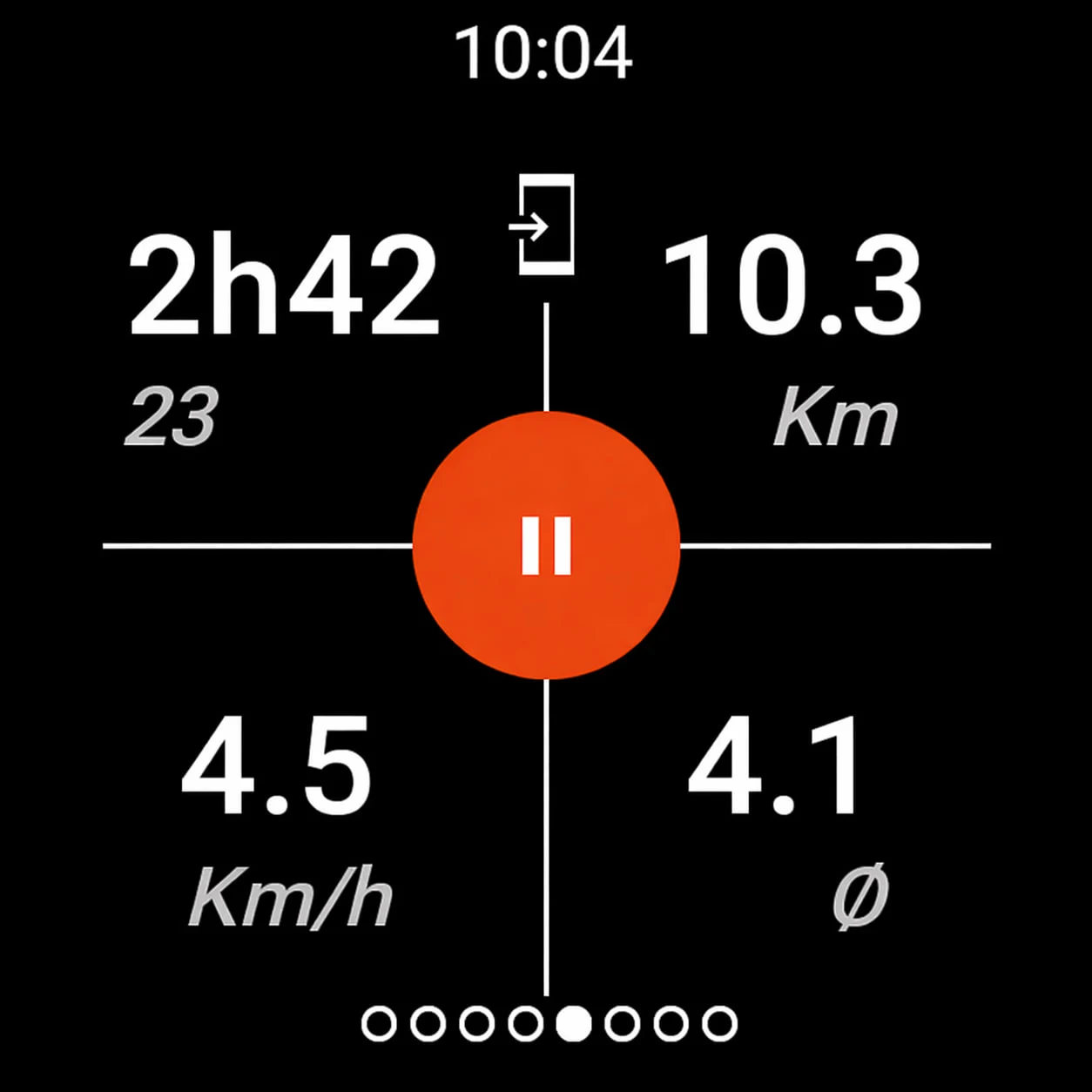
Activity Statistics: Review distance, kilometer-effort, average speed, calories burned, and other performance data.
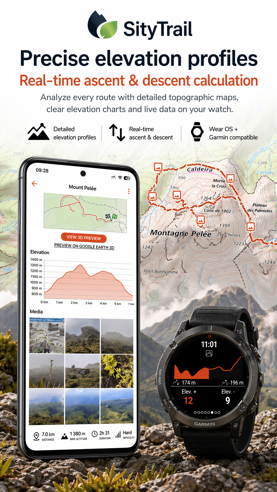
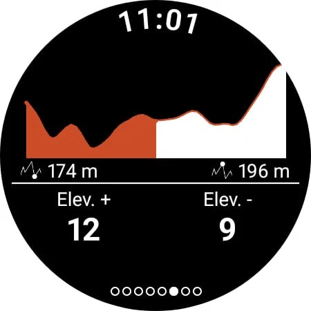
Altimeter and Elevation Profiles: Measure altitude and view elevation changes along recorded routes.
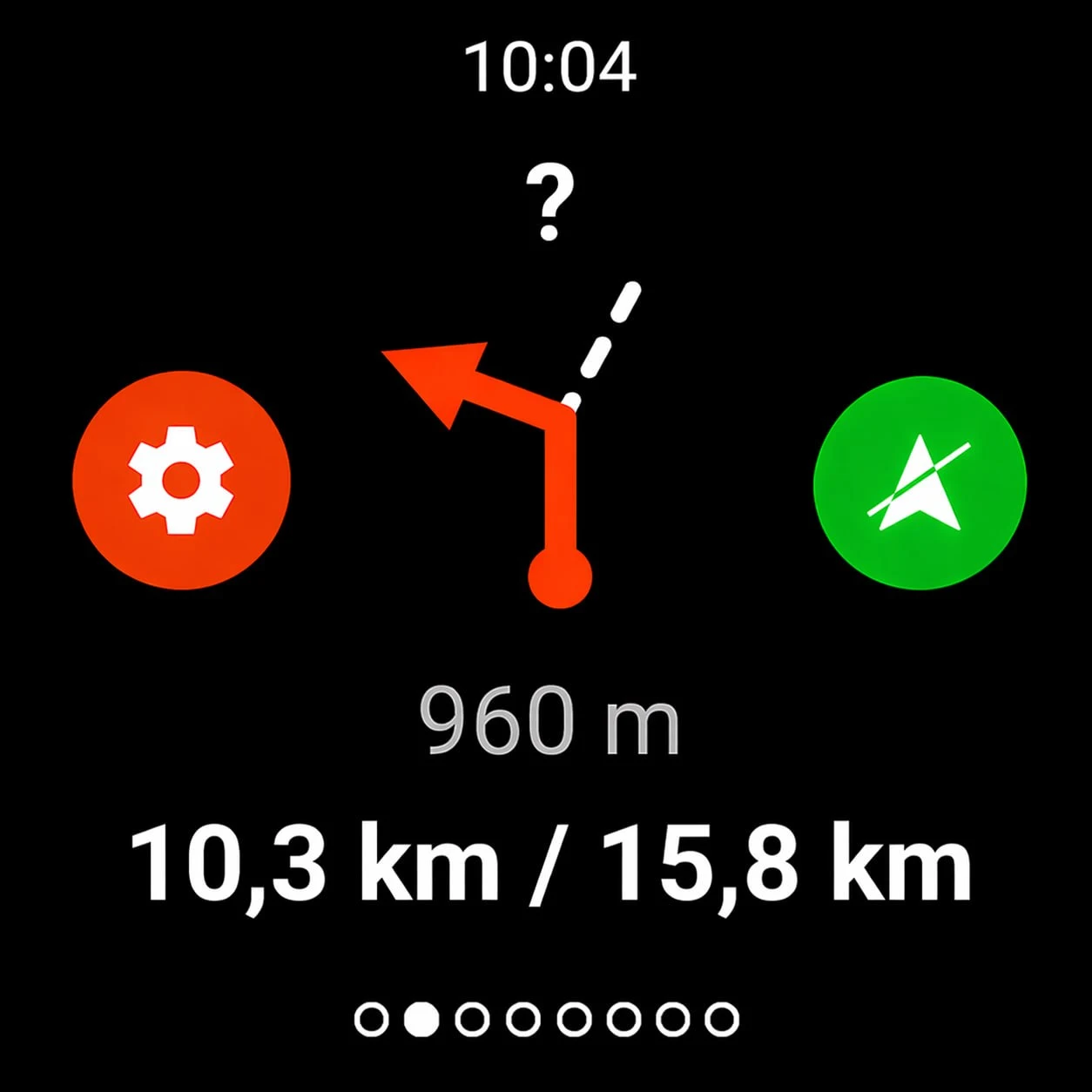
Off-Route Alerts: Receive notifications when you stray from a planned trail.
Points of Interest: Get spoken announcements about nearby locations through text-to-speech.
Cloud Backup and Synchronization: Back up recorded trails and access saved activities across multiple devices.
Route Management: Create and edit routes and points of interest on the SityTrail website, then organize them into personal lists.
Offline Topographic Maps: Download maps for use without an internet connection. Requires PREMIUM.
Voice Navigation: Receive audio instructions at trail intersections, including remaining distance and estimated travel time.
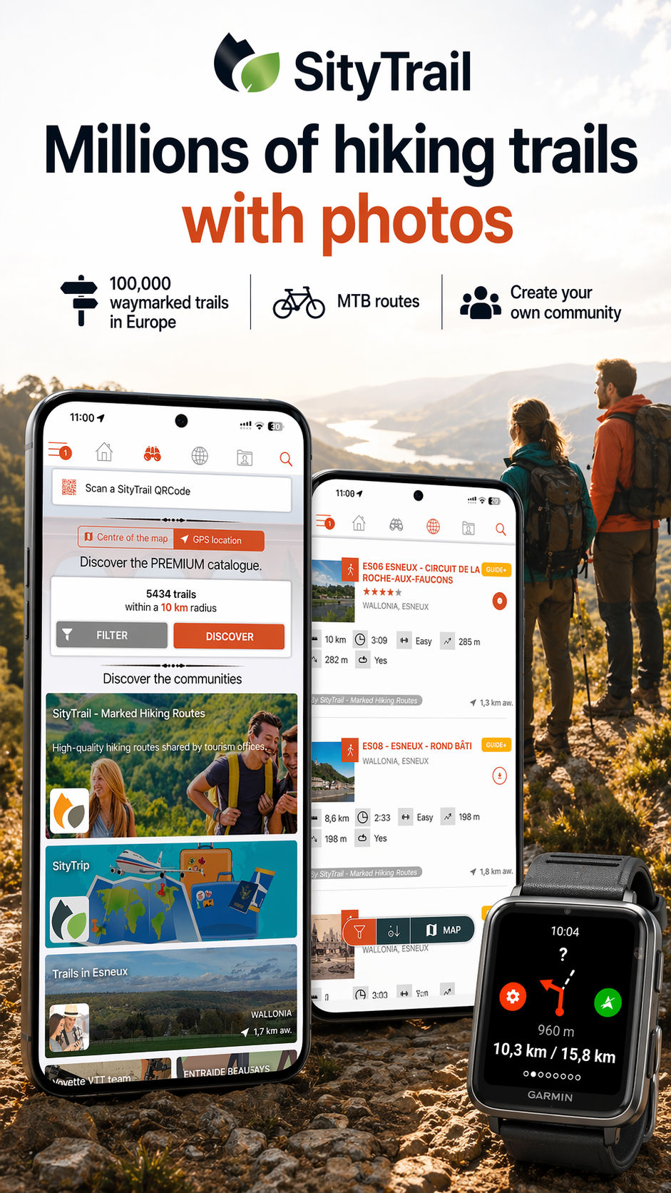
Public Trail Catalog: Browse routes shared by SityTrail members and partner communities.
Community Tools: Create hiking groups, manage members, and share multimedia trail guides.
PDF Trail Documents: Generate printable trail documents with QR codes in A4 or A3 format.
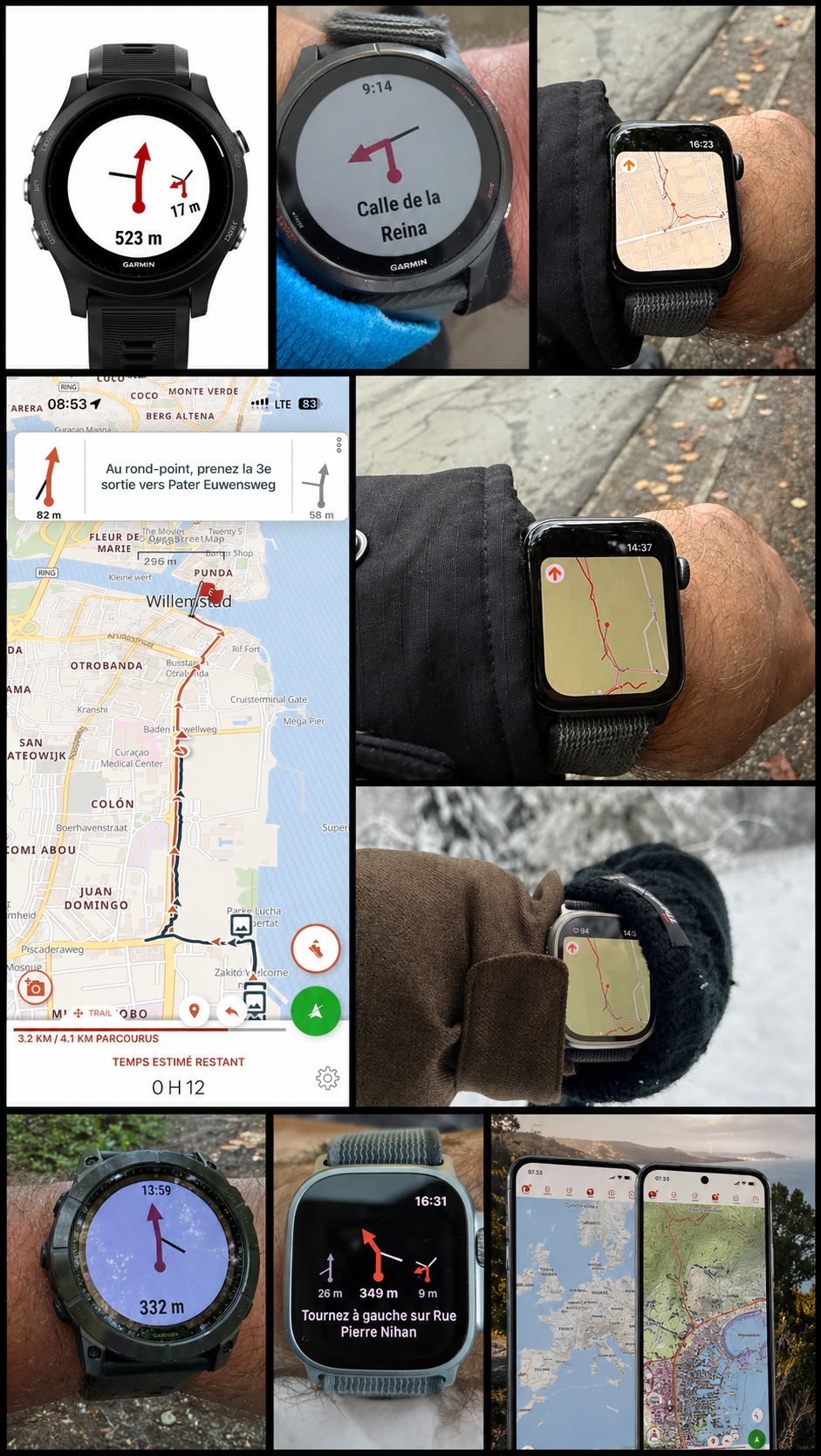
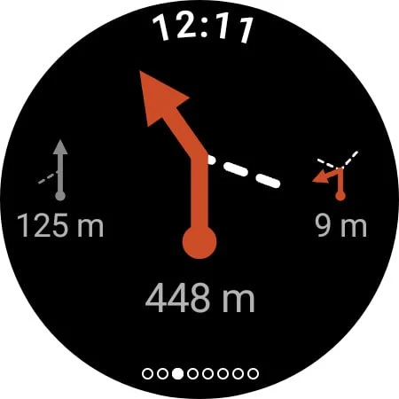
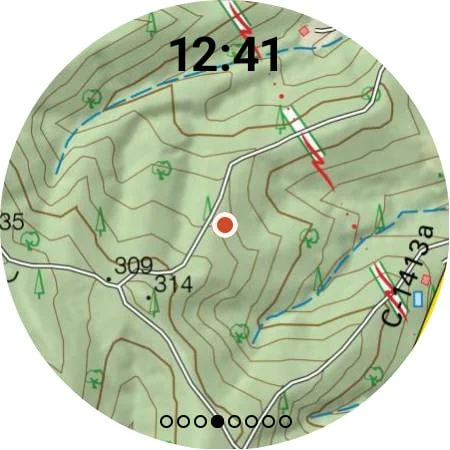
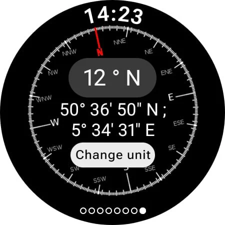
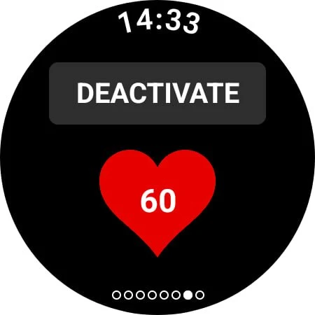
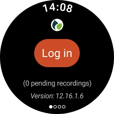
Wear OS Support: Record activities directly from compatible smartwatches, either independently or connected to an Android phone.
How to Use SityTrail
Create a free account to back up your activities and synchronize saved trails across devices. Routes and points of interest can be prepared through the SityTrail website and accessed from the mobile app.
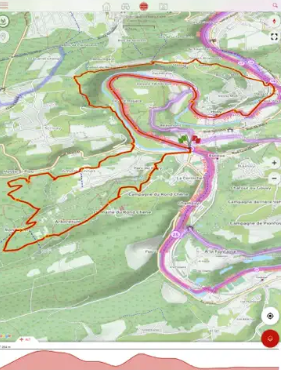
Before an outdoor activity, enable GPS recording to log your journey. You can take geo-tagged photos along the route and receive alerts if you leave the planned trail.
For areas with limited mobile coverage, download the required topographic maps in advance. PREMIUM subscribers can also use voice guidance at trail intersections. Compatible Wear OS watches support direct activity recording, including standalone operation without an Android phone.
FAQs
1. Is SityTrail free to use?
Yes. The free account includes GPS activity recording, trail management, backups, and synchronization. Offline maps and certain advanced navigation and community features require a PREMIUM subscription.
2. Can I use SityTrail offline?
Yes. PREMIUM subscribers can download topographic maps in advance for navigation without an internet connection.
3. Can I create my own hiking routes?
Yes. Routes and points of interest can be created or edited through the SityTrail website and accessed through your mobile account.
4. Does SityTrail support Wear OS?
Yes. Compatible Wear OS watches support activity recording in both connected and standalone modes.
5. Does SityTrail provide voice navigation?
Yes. PREMIUM includes audio guidance at trail intersections, with remaining distance and estimated travel time. Spoken notifications about nearby points of interest are also available.
6. What activity information does SityTrail record?
SityTrail tracks distance, kilometer-effort, average speed, calories burned, and elevation changes. Its altimeter also provides altitude measurements and elevation profiles.
- Version12.16.0.15
- UpdateNov 20, 2026
- DeveloperGeolives Belgium S.R.L.
- CategoryTravel & Local
- Requires AndroidAndroid 6+
- Downloads218K+
- Package Namecom.geolives
- Signaturee4f37325096fe6e791e5fb8e00a2a0ff
- Available on
- ReportFlag as inappropriate
-
NameSizeDownload
-
23.23 MB
-
22.32 MB
-
22.31 MB











Efficient app for trekking and navigation
Provides detailed maps with various features
Allows offline use of downloaded maps
Quick customer support responsiveness
Can attach photos to tracked routes
Variety of hiking trails available
User-friendly for planning circuits on desktop or mobile
High battery consumption during use
Slow and unreliable content delivery system
Difficulties exporting tracks to GPX format
Confusing user interface
Issues with app compatibility on older Android versions
Frequent bugs and crashes reported
Subscription model feels restrictive
Aggressive advertising on the website
Changes in account management have caused frustrations