
Outdoor Südtirol - Explore Activities & Itineraries
Uncover thrilling outdoor adventures in South Tyrol with custom itineraries & GPS navigation tailored just for you!

- 3.20.9 Version
- 1.5 Score
- 141K+ Downloads
- Free License
- 3+ Content Rating

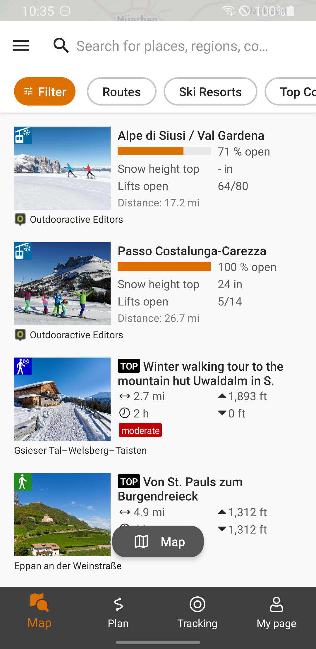
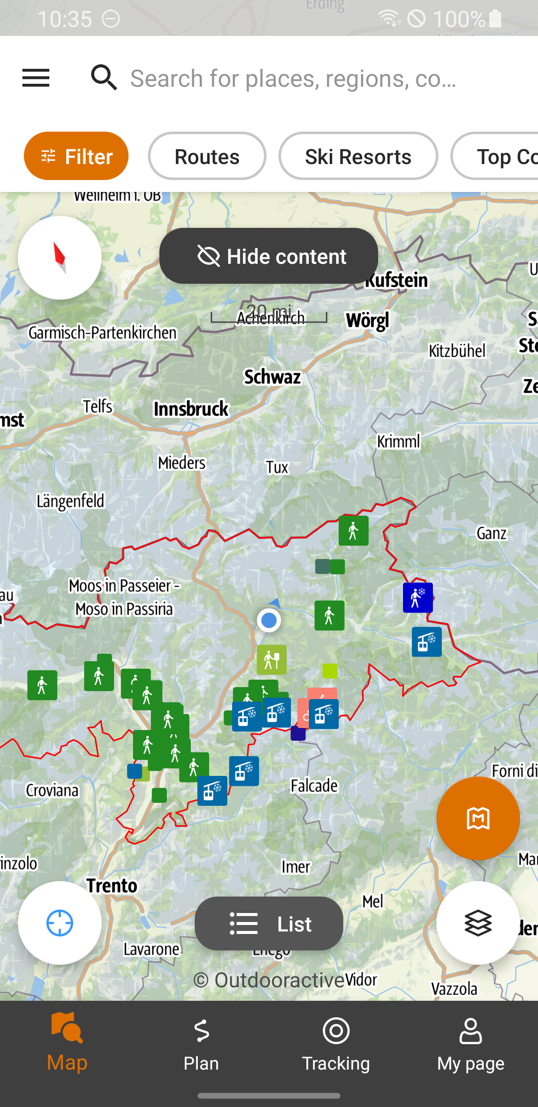
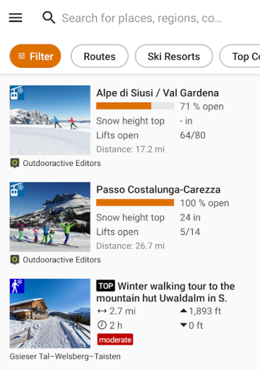
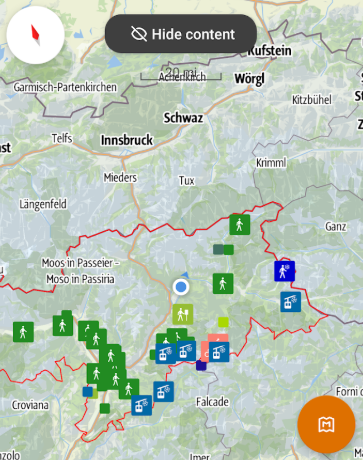
Search by location or enable your GPS to uncover activities in your vicinity.
Tailor your search results according to your preferences and navigate the map to find new options. Display the outcomes in a list format for a quick overview of brief descriptions.
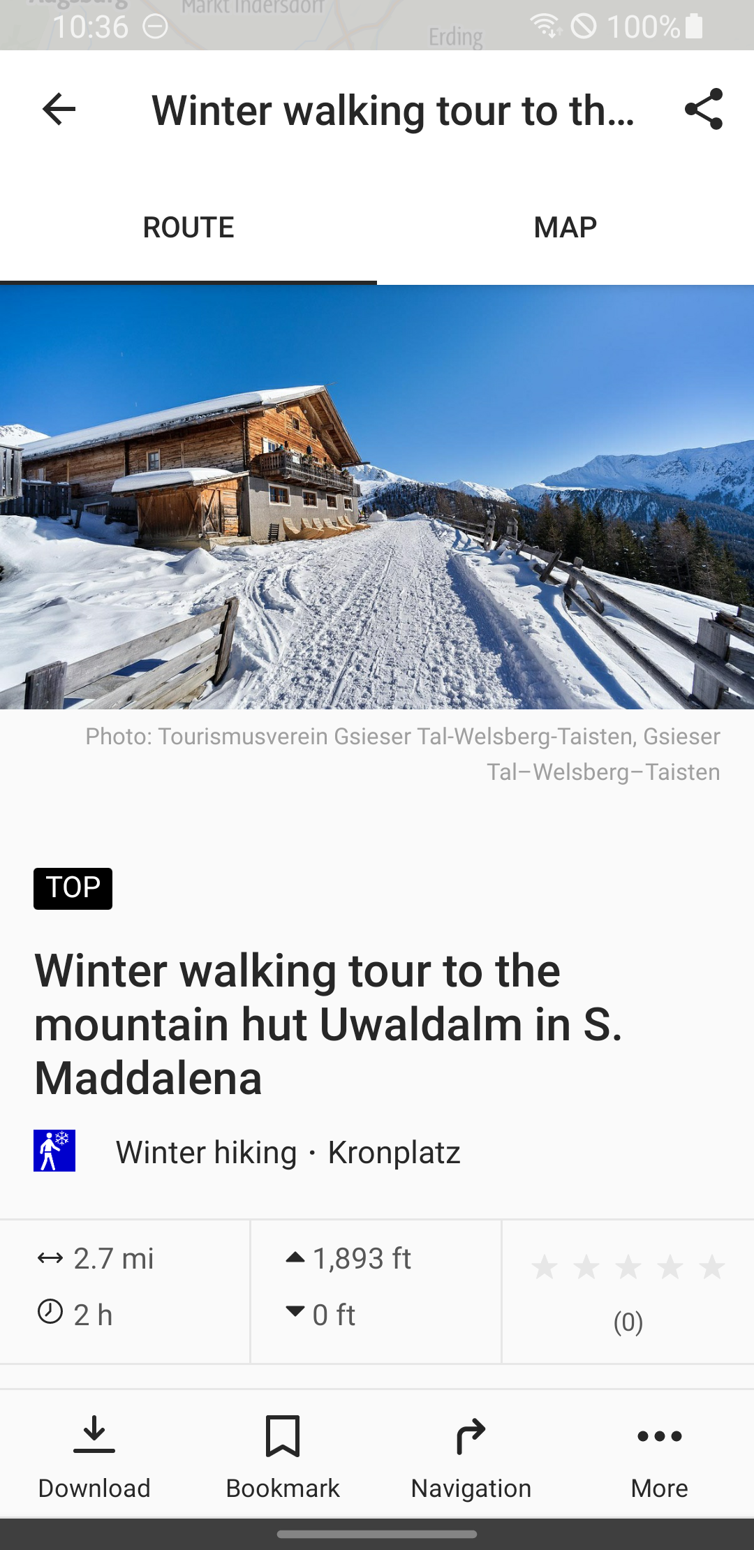
Access comprehensive details, technical specifications, maps, and GPS navigation that you can even store offline for your outdoor pursuits in South Tyrol during both summer and winter.
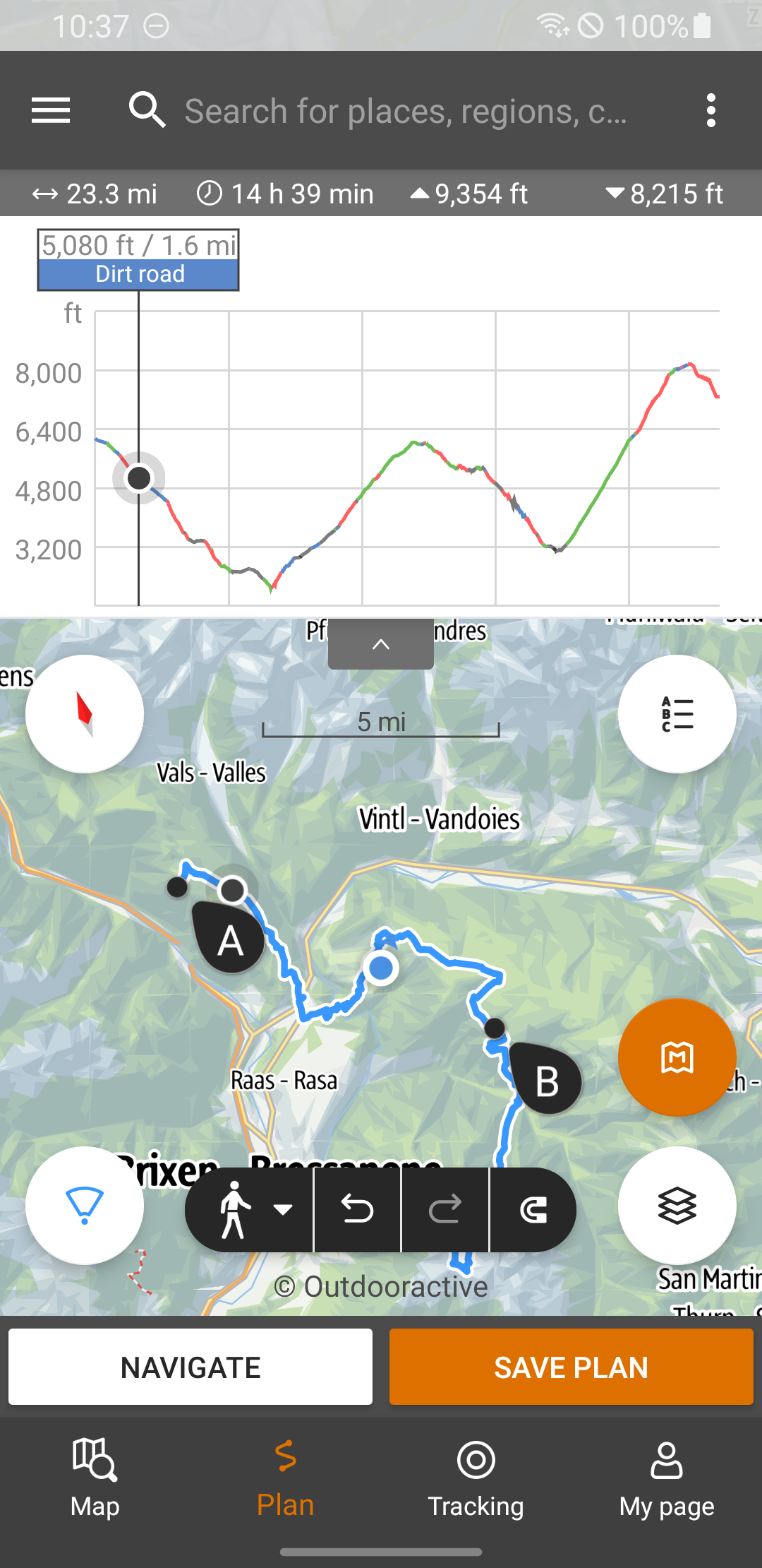
You also have the option to create personalized itineraries:
- plan your route directly on the app's map
- track your journey while adding photos and notes
- share your preferred itineraries with friends to organize your next outdoor expedition in South Tyrol and the Dolomites
Uncover even more functionalities!
Note:
Running the app in the background with GPS turned on may significantly drain battery life.
How to Use:
1. **Search and Browse**: Open the app, enter a location or enable GPS location, filter by preference to view nearby outdoor activities; supports map view for direct location viewing, or switch to list view for quick browsing of activity descriptions.
2. **Offline Preparation**: When connected to the internet, download an offline map of the target area (recommended to extend by 2 kilometers) and activity details. It can store GPS navigation data for convenient use outdoors without internet access.
3. **Trip Planning**: Plan routes directly on the app's map, record your route while traveling, add photos and notes; after completion, share your trip with friends, and plan outdoor trips in South Tyrol and the Dolomites.
FAQs:
**Q: What is this app primarily designed for?**
A: It's primarily designed for summer and winter outdoor activities in South Tyrol and the Dolomites, such as hiking, mountaineering, and outdoor adventures. It meets user needs for finding activities, planning, and navigating.
**Q: What permissions are required to use the location search feature?**
A: You need to enable your phone's location information permission. To enable continuous background access, we recommend setting the permission to "Always Allow" and disabling system background restrictions for apps.
**Q: What should I do in advance to use maps and navigation offline?**
A: You need to download maps, activity details, and other resources for the corresponding area when you have an internet connection. We recommend expanding the download range by 2 kilometers based on your planned route and confirming that the data includes key outdoor information such as contour lines and water sources. After downloading, you can test the data for accuracy.
**Q: How can I create and share a personalized itinerary?**
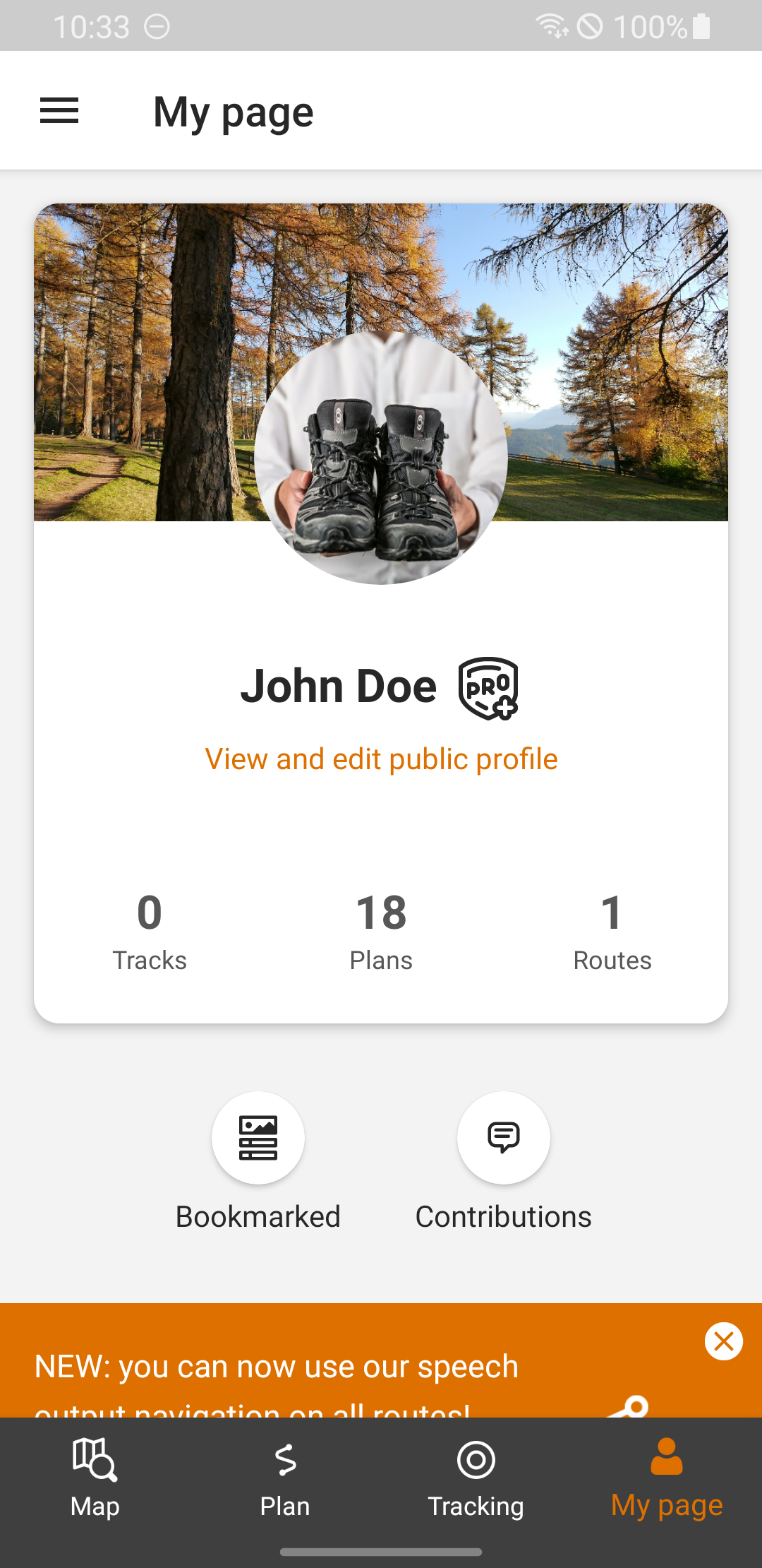
A: Plan your route directly on the app map and add photos and notes to your itinerary. Once completed, share your itinerary with friends using the in-app sharing feature to facilitate collaborative outdoor adventures.
**Q: How can I view the activity information I've searched for? **
A: You can view events in two ways: one is to visually browse the event locations on a map, and the other is to switch to a list format to quickly view a brief description of the event.
- Version3.20.9
- UpdateNov 02, 2026
- DeveloperIDM Südtirol / Alto Adige
- CategoryTravel & Local
- Requires AndroidAndroid 8.0+
- Downloads141K+
- Package Nameit.bz.smg
- Signature097f2b256307cae90047165e1d4a2e4c
- Available on
- ReportFlag as inappropriate
-
NameSizeDownload
-
78.99 MB
-
214.33 MB
-
214.00 MB












Accurate scene adaptation
Practical offline functionality
Comprehensive planning features
Thoughtful detail reminders
Limited geographical coverage
Significant battery consumption issues
Offline data requires advance preparation