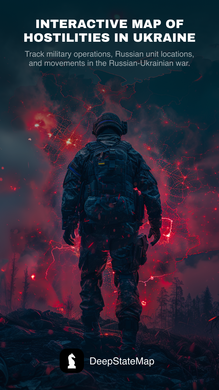
DeepStateMap - Interactive military map & tracking
Explore real-time military operations in Ukraine with an interactive map, unit tracking, news feed & artillery range measurements.

- 2.0.1 Version
- 1.5 Score
- 450K+ Downloads
- Free License
- 3+ Content Rating

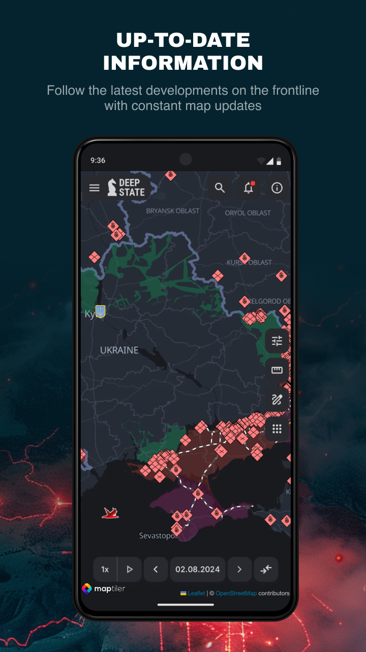
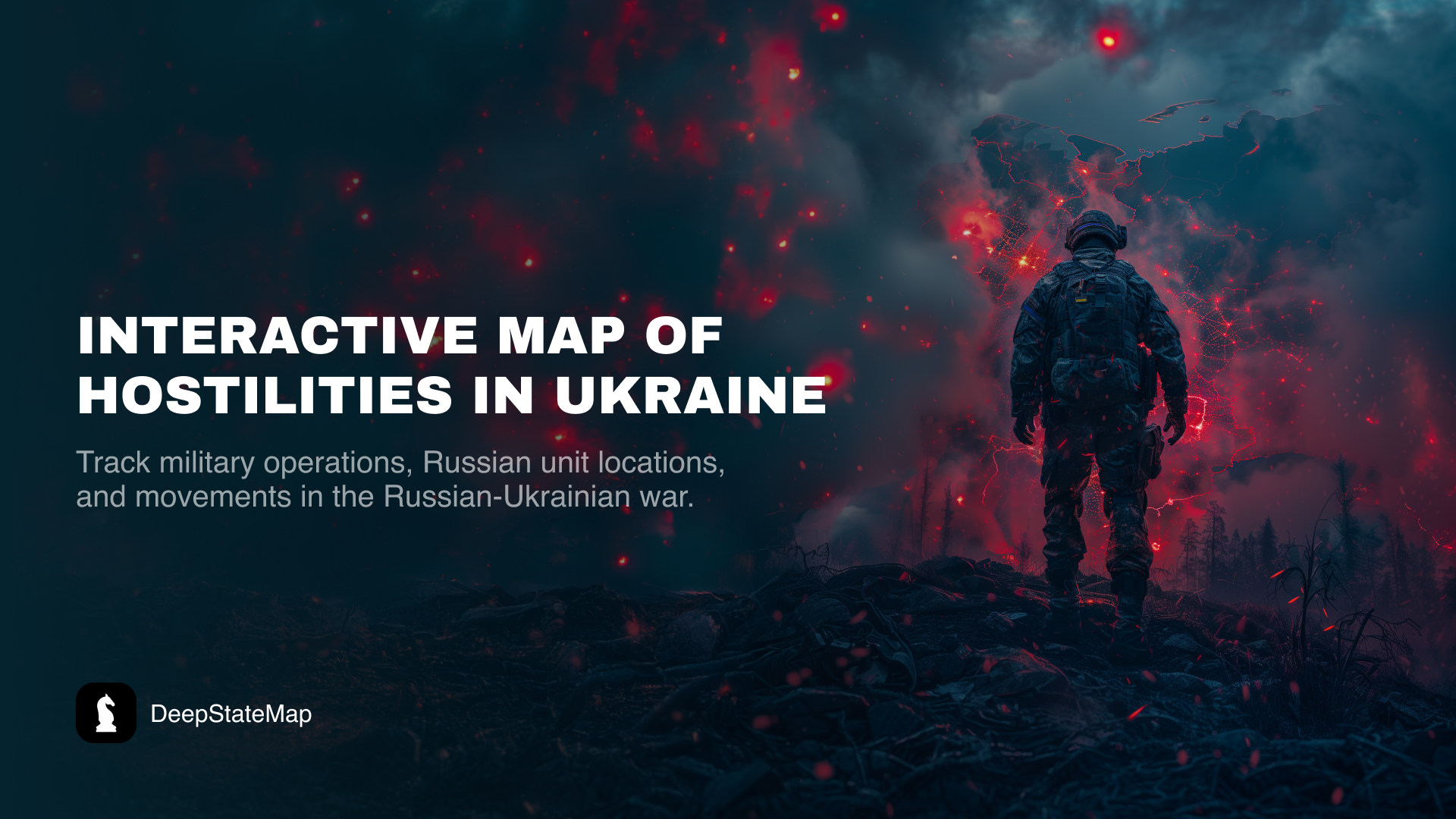
DeepStateMap.Live offers an interactive online platform that visualizes the hostilities occurring in Ukraine, enabling users to monitor military activities and track the movements of Russian forces during the ongoing conflict.
This application provides functionality for caching previously downloaded data.
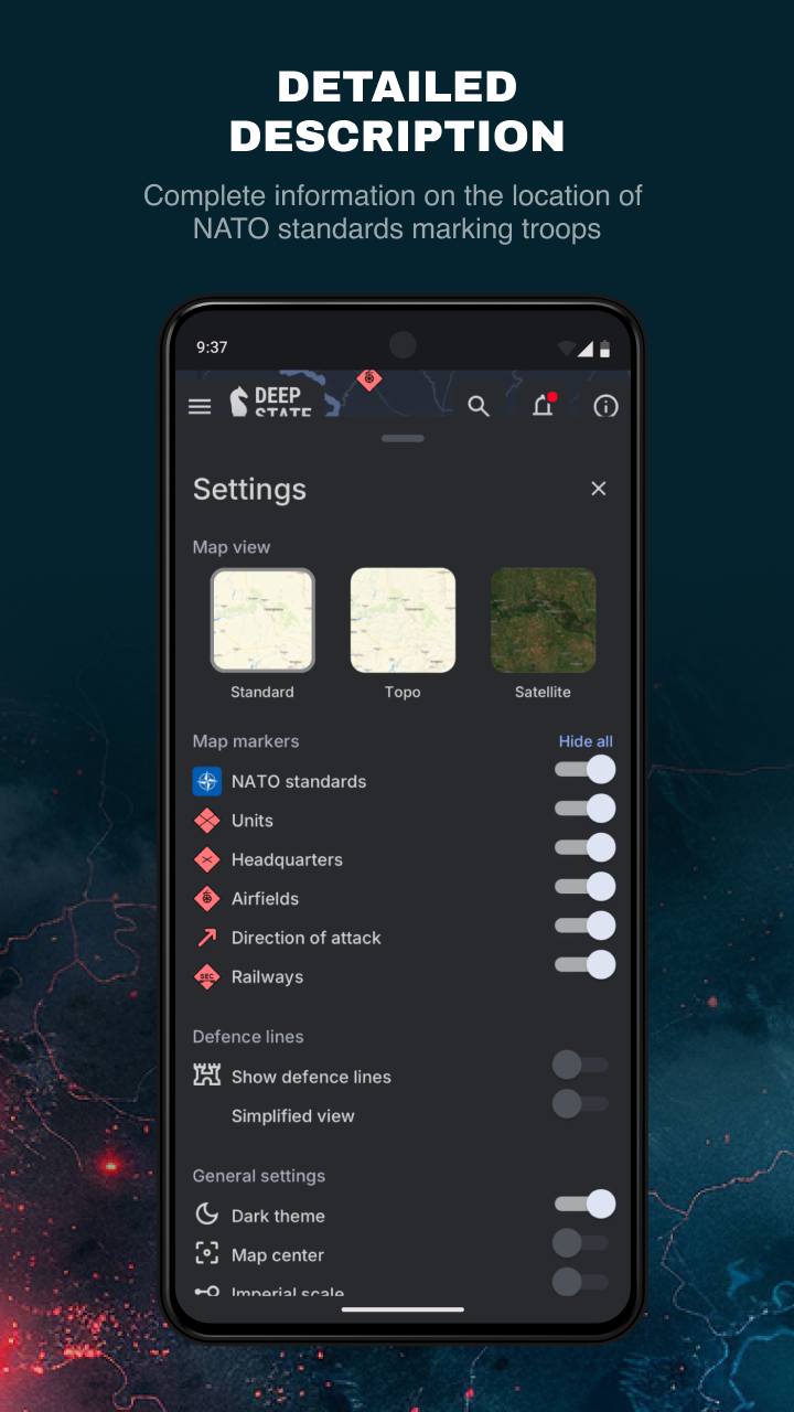
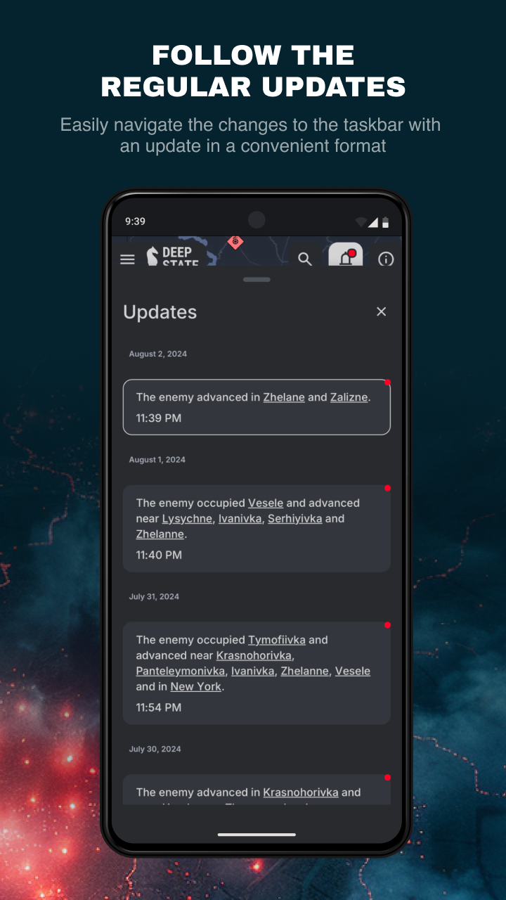
The map uses various symbols to convey information:
areas of Ukraine reclaimed from occupation within the past two weeks;
freed regions;
areas that require further verification;
regions currently under Russian control;
the territory of Crimea and ORDLO under occupation;
Transnistria region;
units belonging to rashists;
rashists command centers;
rashists airfields;
rashists naval forces;
paths of rashists offensives.
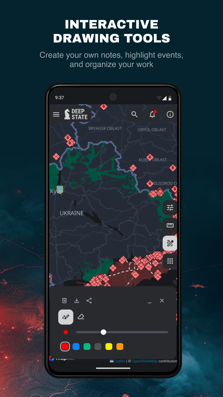
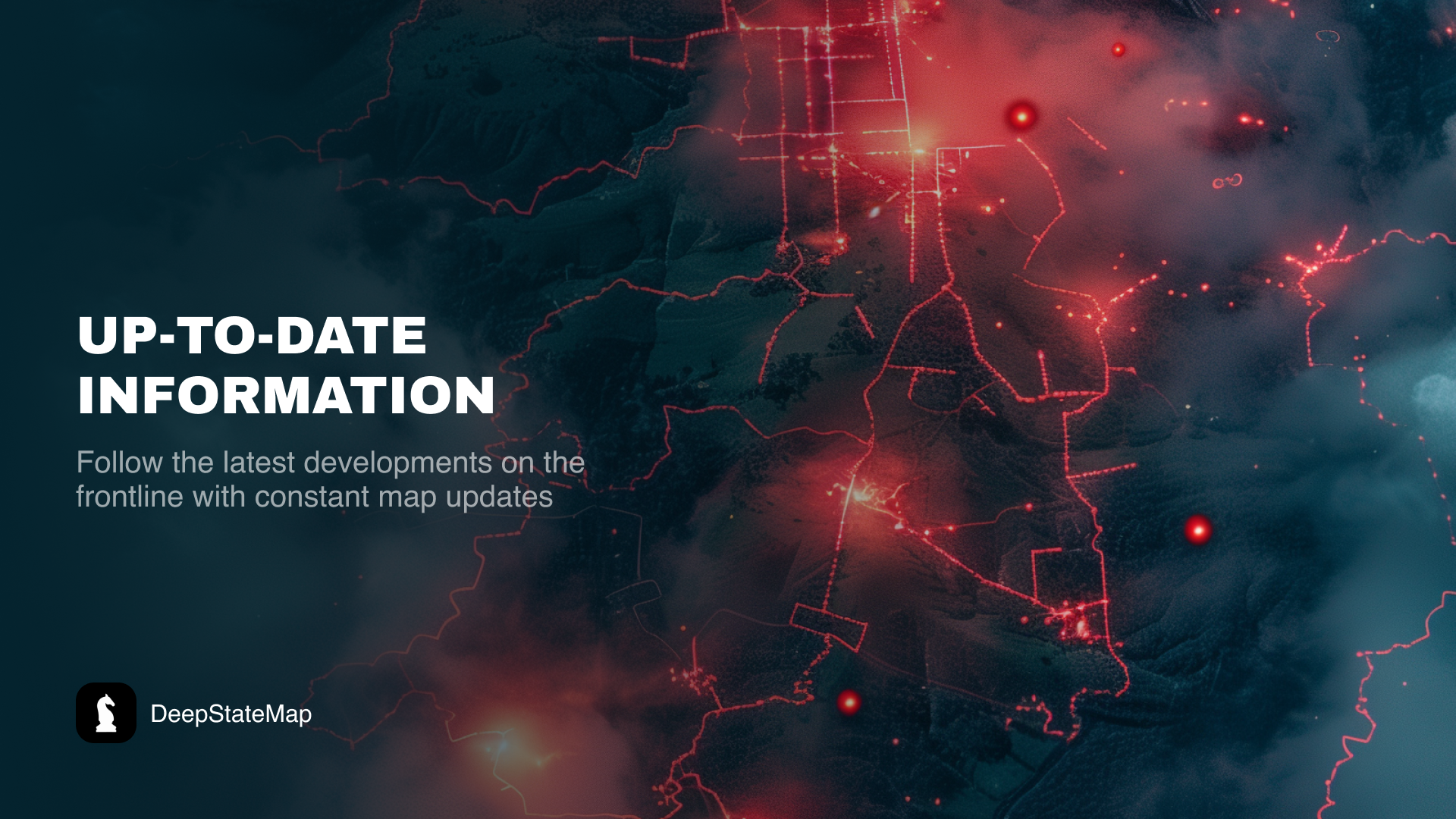
The territories are categorized into zones with distinct color coding, and locations of rashists units and airfields are indicated. Additionally, the platform features a news feed and options for measuring distances between locations on the map. Users can also view fire points using data from the NASA Firms system and compare these with frontline positions. A unique feature allows for measuring the range of various artillery systems such as HIMARS, M777, CAESAR, etc., along the entire front line.
Beyond the Headlines: How DeepStateMap Became My Essential Lens on Ukraine's Frontlines
Discovering DeepStateMap.Live transformed my understanding of the Ukraine conflict from fragmented news alerts into a visceral, real-time tapestry of resilience. As someone with family near Odesa, this isn't just a map—it's a digital vigil. The first time I layered NASA FIRMS thermal data over verified frontline shifts, the brutal symphony of war snapped into focus: artillery flashes blooming where villages stood hours earlier, HIMARS ranges stretching like grim rulers across the steppe. What stunned me was the verification hierarchy – watching newly liberated zones shift from "requires confirmation" to vivid blue reclaims over 48 hours, often before major outlets reported, gave me hope measured in pixels and polygons.
The artillery calculator became my grim compass. Plotting M777 trajectories from Kherson while news broke of apartment strikes revealed terrifying strategic patterns, turning abstract headlines into chillingly precise threat assessments. Yet beyond tactics, the human dimension resonates: overlaying "rashist command centers" with user-subtained photos of bombed schools made geopolitical strategy brutally personal. During the Kharkiv counteroffensive, refreshing the map felt like holding my breath – watching blue arrows pierce gray occupation zones in real-time, corroborated by ground-level Telegram feeds minutes later.
For diaspora like me, the cached data mode is a lifeline during blackouts; downloading updates before Kyiv's nightly power cuts meant maintaining that fragile connection. The measured neutrality – labeling occupied Crimea without inflammatory rhetoric, while documenting naval blockades with forensic detail – builds profound trust. This isn't gaming conflict; it's bearing witness with unprecedented granularity. When my cousin sent coordinates of her evacuation route, plotting it against verified safe corridors via the distance tool was the most harrowing – and vital – digital interaction of my life.
Frequently Encountered Questions (FAQ):
Q: How current is frontline data during active battles?
A: Critical zones update hourly during offensives. "Verification required" tags appear for contested areas until 2+ independent sources confirm (avg. 6-18hr lag).
Q: Can I trust "rashist" unit markers without bias?
A: All positions require geolocated evidence (satellite, drone footage, or OSINT). Classification follows NATO symbology standards – "rashist" denotes affiliation, not commentary.
Q: How accurate are artillery range projections?
A: Calculations factor in verified deployment zones, elevation, and munition types (e.g., GMLRS vs Excalibur). Margin of error ≈3km for mobile systems like CAESAR.
Q: Does NASA FIRMS show ALL strikes?
A: Thermal signatures detect fires >30MW. Smaller arms/urban fighting may not register. Combine with "explosion" user reports for fuller context.
Q: Can I use this offline during blackouts?
A: Yes! Enable "Cache Maps" in settings. Downloaded data remains accessible, though real-time layers (FIRMS, units) require periodic reconnection.
Q: How are Crimea/Transnistria statuses determined?
A: Legally classified as occupied per UNGA Resolution 68/262. Map reflects this consensus while showing current Russian military presence.
- Version2.0.1
- UpdateAug 08, 2025
- DeveloperDeepStateUA
- CategoryNews & Magazines
- Requires AndroidAndroid 6+
- Downloads450K+
- Package Nameua.com.deepstatemap
- Signature0c86e9f3c842a495442836210a3e039f
- Available on
- ReportFlag as inappropriate
-
NameSizeDownload
-
53.00 MB
-
53.01 MB
-
29.46 MB


Useful for tracking the Ukraine War updates
Accurate and prompt information delivery
Smooth operation on older devices
Intuitive user interface (UI)
Convenient push notifications
Faster performance compared to the browser version
Historical features of the map
Frequent crashes or app instability
Difficulty in language settings and retaining user preferences
Delayed updates on specific conflict areas
Incomplete translations for non-Cyrillic readers
Operational issues in occupied areas without VPN
Unnecessary extra steps to access features
Lags when using map functions
Limitations on historical date navigation